Hermongers Hanger

Wood, Forest in Sussex Horsham

England

Hermongers Hanger

Downs Link, near Slinfold A view of the Downs Link path as it approaches Slinfold in West Sussex.  The path follows a dismantled railway line.  It also forms part of route 223 of the National Cycle Network.

Here, a public footpath crosses the Downs Link path.
Downs Link, near Slinfold Credit: Malc McDonald

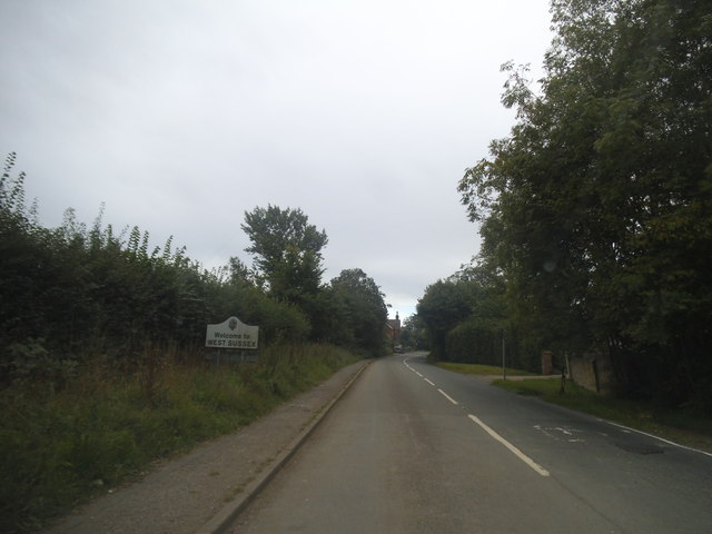
Hermongers Hanger, located in Sussex, England, is a picturesque woodland area known for its serene beauty and rich biodiversity. The hanger is a fragment of the ancient Sussex Weald, a dense forest that once covered this part of the country.

Covering an area of approximately 100 acres, Hermongers Hanger is characterized by its dense canopy of mature oak, beech, and birch trees. The forest floor is adorned with a variety of woodland flowers, including bluebells, primroses, and wild garlic, which bloom in abundance during the spring months, creating a colorful carpet of flora.

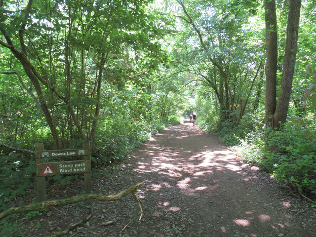
The hanger is home to a diverse range of wildlife, making it a popular destination for nature enthusiasts and birdwatchers alike. Visitors may catch glimpses of woodland creatures such as deer, foxes, badgers, and squirrels as they explore the winding trails that crisscross the forest. Bird species including woodpeckers, nightingales, and owls can also be spotted, adding to the area's natural charm.

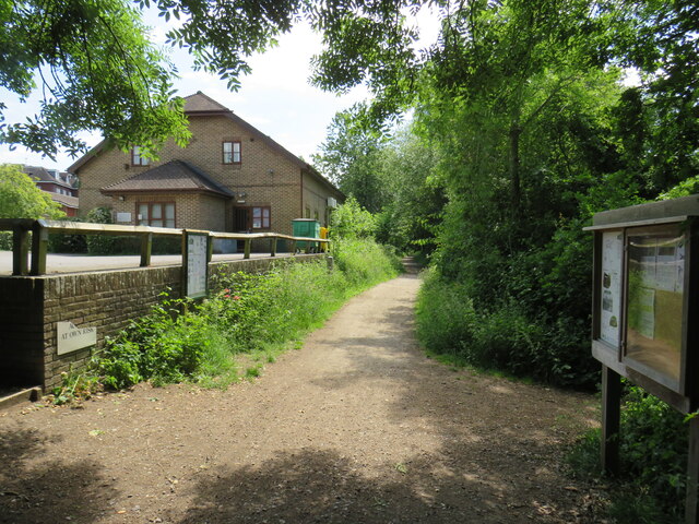
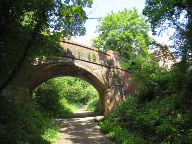
Hermongers Hanger offers a tranquil escape from the bustling city life, providing visitors with the opportunity to immerse themselves in nature and enjoy peaceful walks in a truly idyllic setting. The wood is well-maintained, with paths clearly marked and maintained, ensuring easy access for visitors of all ages and abilities.

Overall, Hermongers Hanger in Sussex is a must-visit destination for those seeking a slice of tranquility and a chance to connect with nature in a stunning woodland environment.

If you have any feedback on the listing, please let us know in the comments section below.

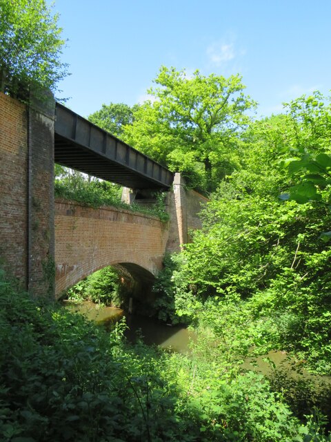
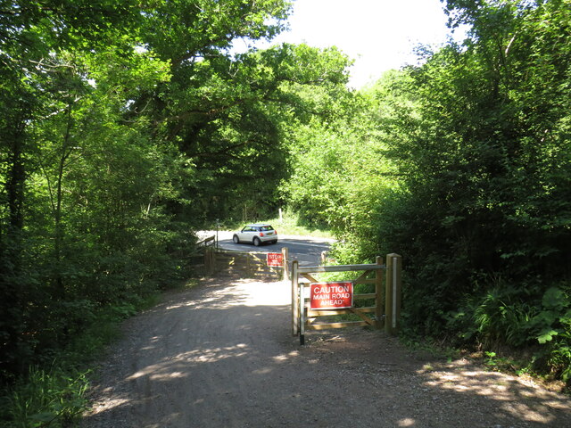
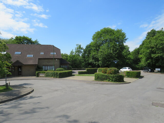
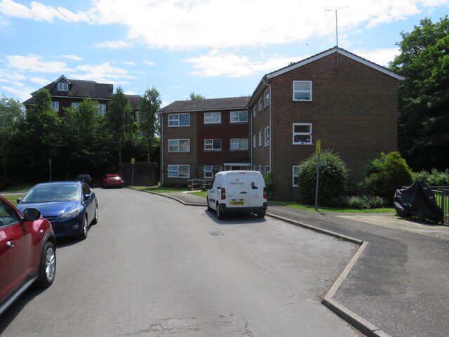
Hermongers Hanger Images

Images are sourced within 2km of 51.095651/-0.43130531 or Grid Reference TQ0934. Thanks to Geograph Open Source API. All images are credited.

Downs Link, near Slinfold A view of the Downs Link path as it approaches Slinfold in West Sussex.  The path follows a dismantled railway line.  It also forms part of route 223 of the National Cycle Network.

Here, a public footpath crosses the Downs Link path.
Downs Link, near Slinfold
A view of the Downs Link path as it approaches Slinfold in West Sussex. The path follows a dismantled railway line. It also forms part of route 223 of the National Cycle Network. Here, a public footpath crosses the Downs Link path.
Double bridge near Rudgwick, West Sussex The double bridge which crosses the River Arun near Rudgwick is unique in Britain, in having both a brick arch and an iron girder.

The brick arch was built to carry a railway line across the river.  However, on the far side of the river, the railway would then climb a steep gradient into Rudgwick station.  Inspectors from the government's Board of Trade refused permission for the railway to open, as they felt the gradient up to Rudgwick station was too steep.  The railway compamny therefore had to rebuild this section of the route with higher embankments, so that the gradient into Rudgwick was less steep.  As the railway had been raised to a higher level at this location, the iron girder bridge was installed to carry it across the river.  The brick arch has never been used for its intended purpose.

The railway opened in 1865 but closed a century later.  The railway route now forms part of the Downs Link long distance path, which itself forms part of route 223 of the National Cycle Network.
Double bridge near Rudgwick, West Sussex
The double bridge which crosses the River Arun near Rudgwick is unique in Britain, in having both a brick arch and an iron girder. The brick arch was built to carry a railway line across the river. However, on the far side of the river, the railway would then climb a steep gradient into Rudgwick station. Inspectors from the government's Board of Trade refused permission for the railway to open, as they felt the gradient up to Rudgwick station was too steep. The railway compamny therefore had to rebuild this section of the route with higher embankments, so that the gradient into Rudgwick was less steep. As the railway had been raised to a higher level at this location, the iron girder bridge was installed to carry it across the river. The brick arch has never been used for its intended purpose. The railway opened in 1865 but closed a century later. The railway route now forms part of the Downs Link long distance path, which itself forms part of route 223 of the National Cycle Network.
Downs Link, near Rudgwick The Downs Link path follows a dismantled railway line for almost all of its length.  It also forms part of route 223 of the National Cycle Network.

Here, there used to be a bridge carrying the railway across the A281 road.  The bridge was demolished after the railway closed, and the Downs Link path therefore descends to road level to cross the road.  There has been a long-running campaign to reinstate a bridge here.  Sadly, a 20-year-old cyclist was killed in 2020 whilst crossing the road at this point.
Downs Link, near Rudgwick
The Downs Link path follows a dismantled railway line for almost all of its length. It also forms part of route 223 of the National Cycle Network. Here, there used to be a bridge carrying the railway across the A281 road. The bridge was demolished after the railway closed, and the Downs Link path therefore descends to road level to cross the road. There has been a long-running campaign to reinstate a bridge here. Sadly, a 20-year-old cyclist was killed in 2020 whilst crossing the road at this point.
Downs Link, Rudgwick A view of the Downs Link path at Rudgwick in West Sussex.  The path follows a dismantled railway line.  It also forms part of route 223 of the National Cycle Network.  The bridge in this photo carries a road across the former railway line.
Downs Link, Rudgwick
A view of the Downs Link path at Rudgwick in West Sussex. The path follows a dismantled railway line. It also forms part of route 223 of the National Cycle Network. The bridge in this photo carries a road across the former railway line.
Downs Link, Rudgwick A view of the Downs Link path at Rudgwick in West Sussex.  The path follows a dismantled railway line.  It also forms part of route 223 of the National Cycle Network.

Here, the path passes through the site of Rudgwick station.  The station and railway line closed in 1965, and very little trace of the station remains.  The block of flats to the right of the path has been built on the site of the station's goods yard.  More information about Rudgwick station, including photographs, can be found on the Disused Stations website: <span class="nowrap"><a title="http://www.disused-stations.org.uk/r/rudgwick/" rel="nofollow ugc noopener" href="http://www.disused-stations.org.uk/r/rudgwick/">Link</a><img style="margin-left:2px;" alt="External link" title="External link - shift click to open in new window" src="https://s1.geograph.org.uk/img/external.png" width="10" height="10"/></span>
Downs Link, Rudgwick
A view of the Downs Link path at Rudgwick in West Sussex. The path follows a dismantled railway line. It also forms part of route 223 of the National Cycle Network. Here, the path passes through the site of Rudgwick station. The station and railway line closed in 1965, and very little trace of the station remains. The block of flats to the right of the path has been built on the site of the station's goods yard. More information about Rudgwick station, including photographs, can be found on the Disused Stations website: LinkExternal link
Houses on Station Road, Rudgwick Houses close to the site of Rudgwick station, which closed in 1965.
Houses on Station Road, Rudgwick
Houses close to the site of Rudgwick station, which closed in 1965.
Site of railway station, Rudgwick near Horsham This was the site of Rudgwick's railway station, which closed in 1965.  Little trace of the station remains, with the site put to new uses.  The building to the left of the image is a health centre.
Site of railway station, Rudgwick near Horsham
This was the site of Rudgwick's railway station, which closed in 1965. Little trace of the station remains, with the site put to new uses. The building to the left of the image is a health centre.
The Sidings, Rudgwick The Sidings is a small residential development on the site of the former station goods yard at Rudgwick, in West Sussex.
The Sidings, Rudgwick
The Sidings is a small residential development on the site of the former station goods yard at Rudgwick, in West Sussex.
The Sidings, Rudgwick The Sidings is a small residential development on the site of the former station goods yard at Rudgwick, in West Sussex.  The building to the left of the image is a health centre.
The Sidings, Rudgwick
The Sidings is a small residential development on the site of the former station goods yard at Rudgwick, in West Sussex. The building to the left of the image is a health centre.
Downs Link at Rudgwick station site The Downs Link path follows a dismantled railway line for most of its length.  It also forms part of route 223 of the National Cycle Network.

Here, the path passes through the site of Rudgwick railway station.  More information about Rudgwick station can be found on the Disused Stations website: <span class="nowrap"><a title="http://www.disused-stations.org.uk/r/rudgwick/" rel="nofollow ugc noopener" href="http://www.disused-stations.org.uk/r/rudgwick/">Link</a><img style="margin-left:2px;" alt="External link" title="External link - shift click to open in new window" src="https://s1.geograph.org.uk/img/external.png" width="10" height="10"/></span>
Downs Link at Rudgwick station site
The Downs Link path follows a dismantled railway line for most of its length. It also forms part of route 223 of the National Cycle Network. Here, the path passes through the site of Rudgwick railway station. More information about Rudgwick station can be found on the Disused Stations website: LinkExternal link
Bridge over the Downs Link path near Rudgwick A view of the Downs Link path near Rudgwick in West Sussex.  The path follows a dismantled railway line.  It also forms part of route 223 of the National Cycle Network.

The bridge carries a road over the former railway line.
Bridge over the Downs Link path near Rudgwick
A view of the Downs Link path near Rudgwick in West Sussex. The path follows a dismantled railway line. It also forms part of route 223 of the National Cycle Network. The bridge carries a road over the former railway line.
Woodsomes Farm, near Rudgwick Woodsomes Farm in countryside close to the West Sussex/Surrey border.
Woodsomes Farm, near Rudgwick
Woodsomes Farm in countryside close to the West Sussex/Surrey border.
Downs Link, near Rudgwick A view of the Downs Link path near Rudgwick in West Sussex.  The path also forms part of route 223 of the National Cycle Network.

For most of its length, the path follows the course of a dismantled railway.  Between Cranleigh and Rudgwick, however, the railway passed through a tunnel.  The path avoids the tunnel, instead climbing over the hill.  This view looks downhill towards Rudgwick.  A sign warns cyclists of a steep gradient and a blind bend.
Downs Link, near Rudgwick
A view of the Downs Link path near Rudgwick in West Sussex. The path also forms part of route 223 of the National Cycle Network. For most of its length, the path follows the course of a dismantled railway. Between Cranleigh and Rudgwick, however, the railway passed through a tunnel. The path avoids the tunnel, instead climbing over the hill. This view looks downhill towards Rudgwick. A sign warns cyclists of a steep gradient and a blind bend.
Entering West Sussex on Church Street, Cox Green
Furze Road, Rudgwick
Church Street at the junction of Guildford Road
Church Street from the junction of Lynwick Street
Show me another place!

Hermongers Hanger is located at Grid Ref: TQ0934 (Lat: 51.095651, Lng: -0.43130531)

Administrative County: West Sussex

District: Horsham

Police Authority: Sussex

What 3 Words

///soap.polar.motels. Near Rudgwick, West Sussex

Related Wikis

Holy Trinity Church, Rudgwick

Holy Trinity Church is the Anglican parish church of Rudgwick, a village in the Horsham district of West Sussex, England. The oldest part of the church...

Rudgwick

Rudgwick is a village and civil parish in the Horsham District of West Sussex, England. The village is 6 miles (10 km) west from Horsham on the north...

Rudgwick railway station

Rudgwick railway station was on the Cranleigh Line. It served the village of Rudgwick in West Sussex until June, 1965. == History == Rudgwick station opened...

High Weald AONB

The High Weald Area of Outstanding Natural Beauty is in south-east England. Covering an area of 1,450 square kilometres (560 sq mi), it takes up parts...

Baynards railway station

Baynards was a railway station on the Cranleigh Line, between Guildford, Surrey, and Horsham, West Sussex, England. The station opened with the line on...

Tisman's Common

Tisman's Common is a hamlet in the Horsham District of West Sussex, England. It stands in the parish of Rudgwick, on the Rudgwick to Loxwood road, 6.4...

Baynards Park

Baynards Park is a 2,000 acres (810 ha) estate and site of a demolished country house with extant outbuildings, privately owned, in the south of the parishes...

Slinfold railway station

Slinfold railway station was on the Cranleigh Line and served the village of Slinfold in West Sussex. == History == The line had a single track and opened...

Nearby Amenities

Located within 500m of 51.095651,-0.43130531
Barrier: stile
Lat/Long: 51.098127/-0.4372193
Hyes
Place: isolated_dwelling
Lat/Long: 51.091501/-0.4288793
Hermongers
Place: isolated_dwelling
Lat/Long: 51.098057/-0.4303276
Hermongers Farm
Place: farm
Lat/Long: 51.0990751/-0.4281627
The data included in this document is from www.openstreetmap.org. The data is made available under ODbL.

Have you been to Hermongers Hanger?

Leave your review of Hermongers Hanger below (or comments, questions and feedback).