Evedon Road Spinneys
Wood, Forest in Lincolnshire North Kesteven
England
Evedon Road Spinneys
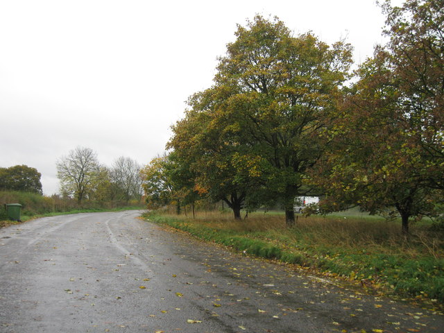
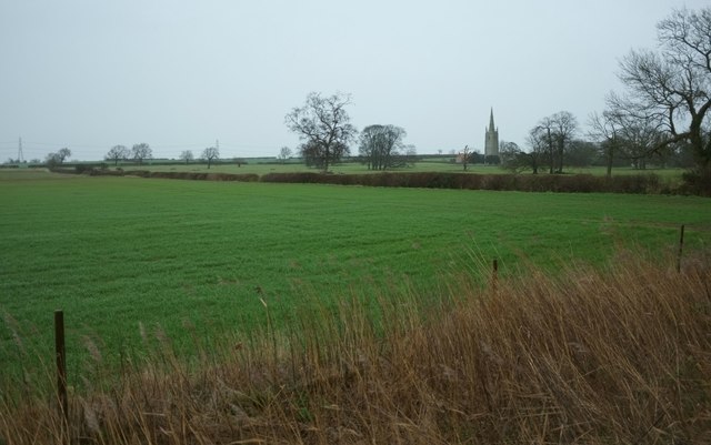
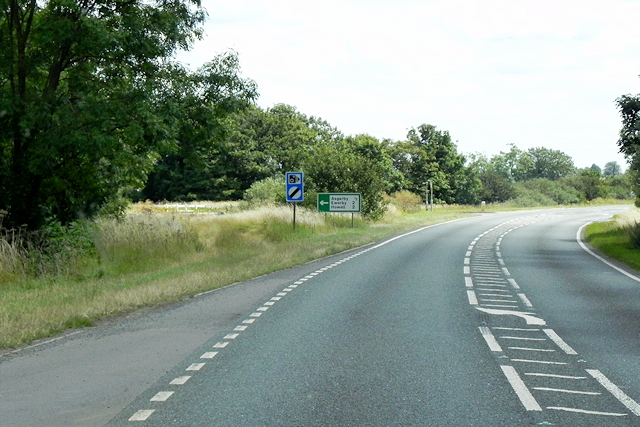
Evedon Road Spinneys is a picturesque woodland area located in Lincolnshire, England. Spanning over several acres, this natural gem is a well-preserved forest that offers a tranquil escape from the bustling city life. The spinneys are situated near the village of Evedon, adding to its charm and accessibility.
The wood is predominantly composed of native tree species, including oak, beech, and ash, which create a dense canopy overhead. These majestic trees provide shade and shelter for an array of wildlife, making it an excellent habitat for various bird species, small mammals, and insects.
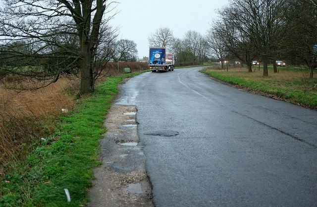
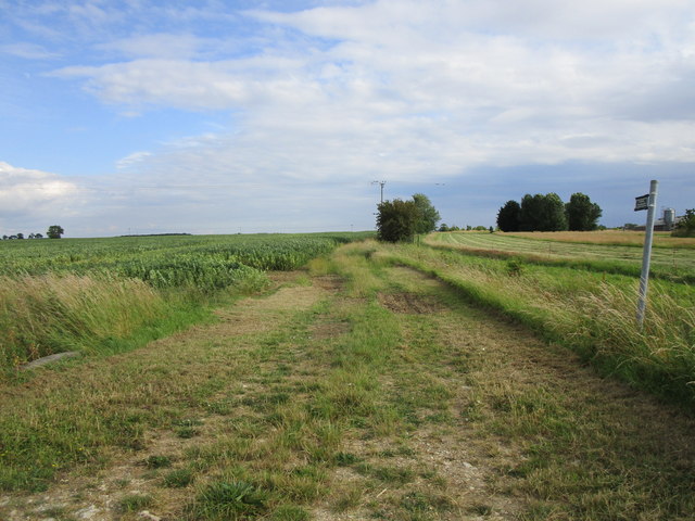
A network of well-maintained footpaths meander through the spinneys, allowing visitors to explore the area at their leisure. As you wander along the trails, you will encounter enchanting wildflowers, such as bluebells and primroses, adding bursts of vibrant colors to the greenery.
Evedon Road Spinneys is a perfect destination for nature enthusiasts, birdwatchers, and photographers. The tranquil atmosphere, coupled with the harmonious sounds of chirping birds and rustling leaves, create a serene ambiance that is ideal for relaxation and contemplation.
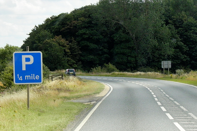
Furthermore, the wood is a popular spot for hiking and picnicking, with designated areas providing benches and picnic tables. Visitors can enjoy a leisurely stroll, take in the scenic views, or simply unwind amidst the natural beauty that this woodland sanctuary has to offer.
Overall, Evedon Road Spinneys is a hidden gem in Lincolnshire, providing a peaceful retreat for those seeking solace in nature. Its diverse ecosystem, well-maintained paths, and stunning views make it a must-visit destination for anyone looking to connect with the great outdoors.
If you have any feedback on the listing, please let us know in the comments section below.
Evedon Road Spinneys Images
Images are sourced within 2km of 53.004555/-0.36288817 or Grid Reference TF0946. Thanks to Geograph Open Source API. All images are credited.


Evedon Road Spinneys is located at Grid Ref: TF0946 (Lat: 53.004555, Lng: -0.36288817)
Administrative County: Lincolnshire
District: North Kesteven
Police Authority: Lincolnshire
What 3 Words
///missions.rejoins.include. Near Sleaford, Lincolnshire
Nearby Locations
Related Wikis

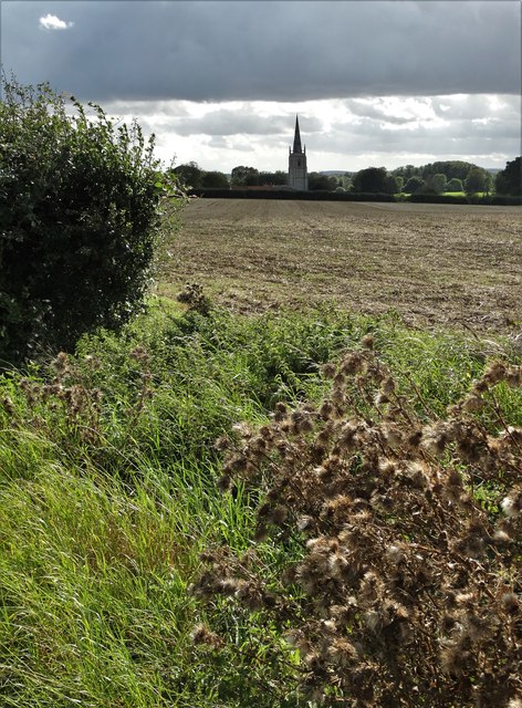
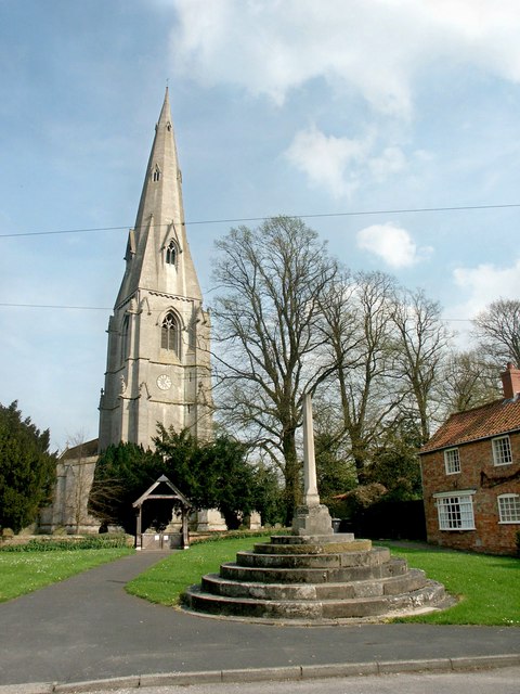
Kirkby la Thorpe
Kirkby la Thorpe is a village and civil parish in North Kesteven district of Lincolnshire, England.The population at the 2011 census was 1,120. It lies...

East Kesteven Rural District
East Kesteven was a rural district in Lincolnshire, Parts of Kesteven from 1931 to 1974. It was formed under a County Review Order, by the merger of most...

Evedon
Evedon is a village in the North Kesteven district of Lincolnshire, England. It is situated 2 miles (3.2 km) north-east from the town of Sleaford. In 1885...
Sleaford Rural District
Sleaford was a rural district in Lincolnshire, Parts of Kesteven, England, from 1894 to 1931. It was created by the Local Government Act 1894 based on...
Sleaford Town F.C.
Sleaford Town F.C. is a football club based in Sleaford, Lincolnshire, England. The club plays in the United Counties League Premier Division North....

Asgarby, North Kesteven
Asgarby is a hamlet in the civil parish of Asgarby and Howell, in the North Kesteven district of Lincolnshire, England. It is situated on the A17 Boston...
Ewerby
Ewerby is a village in the North Kesteven district of Lincolnshire, England. It lies 3 miles (4.8 km) north-east from Sleaford and 2 miles (3.2 km) south...
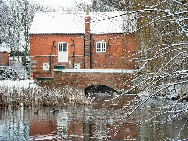
Cogglesford Mill
Cogglesford Mill (sometimes referred to as Coggesford) is a Grade II listed working watermill in Sleaford, Lincolnshire. It is possibly the last working...
Nearby Amenities
Located within 500m of 53.004555,-0.36288817Have you been to Evedon Road Spinneys?
Leave your review of Evedon Road Spinneys below (or comments, questions and feedback).