Howden, East

Settlement in Northumberland

England

Howden, East

Aldi, Howdon
Aldi, Howdon Credit: Roger Cornfoot

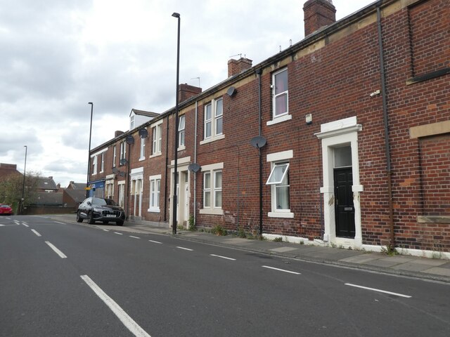
Howden is a small village located in the county of Northumberland, in the northeastern region of England. It lies in the civil parish of Longhorsley, approximately 5 miles northwest of the town of Morpeth. The village is situated in a rural setting, surrounded by picturesque countryside and farmland.

The history of Howden dates back centuries, with evidence of human settlements in the area since the Bronze Age. In medieval times, the village was known for its agricultural activities, particularly sheep farming. Today, it retains its rural character, with many traditional stone-built houses and farmsteads still standing.

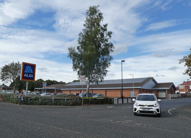
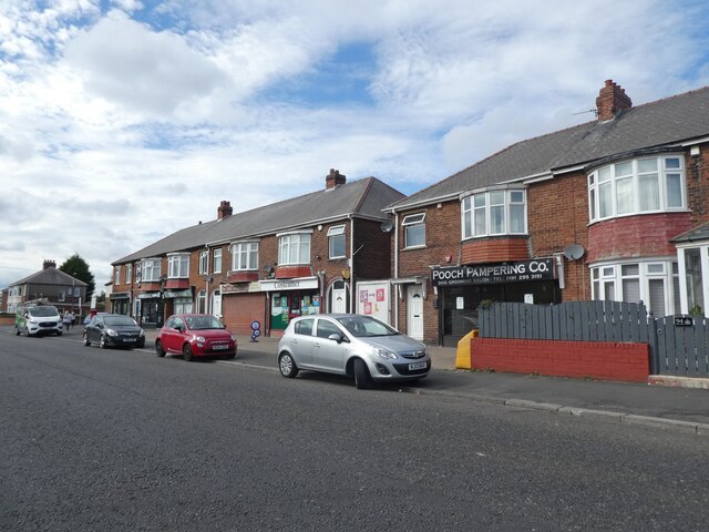
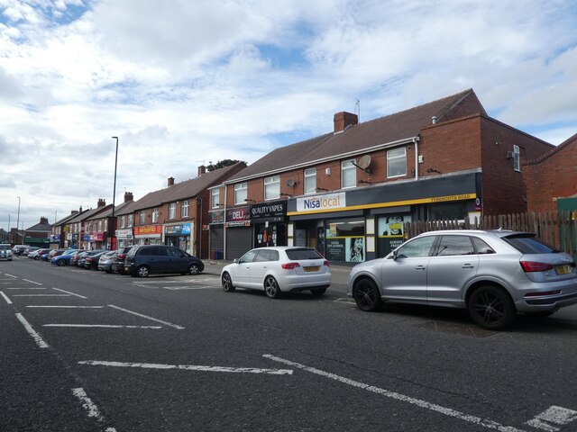
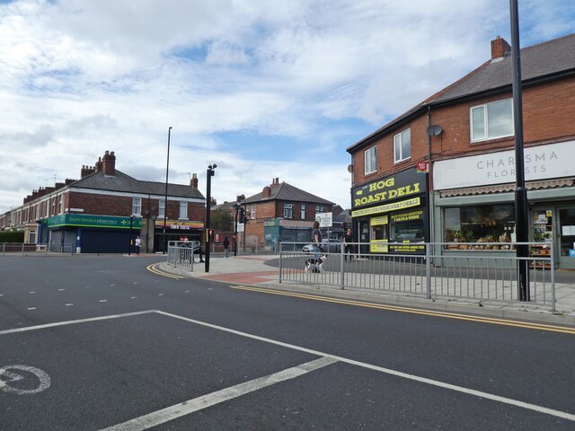
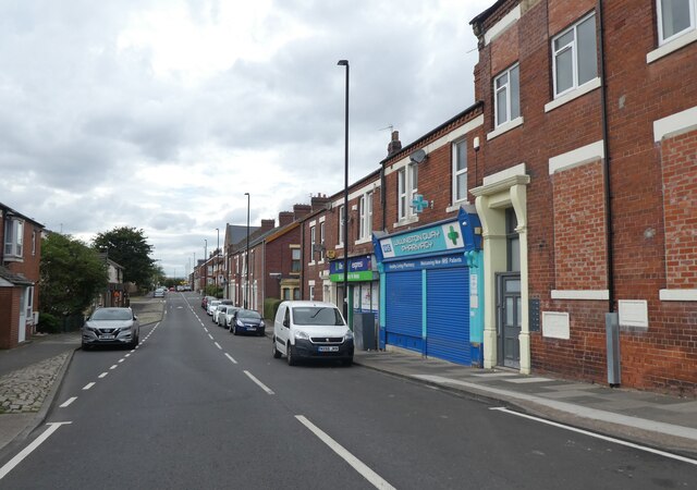
Despite its small size, Howden offers a range of amenities to its residents. These include a primary school, a village hall, a church, and a few local businesses. The village is also well-connected to neighboring towns and cities, with good road links to Morpeth and beyond.

The natural beauty of the surrounding landscape provides opportunities for outdoor activities and exploration. The nearby Northumberland National Park offers stunning vistas, walking trails, and wildlife spotting opportunities. Additionally, the village is close to the Northumberland Coast Area of Outstanding Natural Beauty, with its sandy beaches and historic castles.

Overall, Howden is a tranquil and charming village, perfect for those seeking a rural lifestyle with easy access to both natural beauty and urban amenities.

If you have any feedback on the listing, please let us know in the comments section below.

Howden, East Images

Images are sourced within 2km of 54.987506/-1.4858269 or Grid Reference NZ3366. Thanks to Geograph Open Source API. All images are credited.

Aldi, Howdon
Aldi, Howdon
Parade of shops on Tynemouth Road
Junction with Churchill Street
The Rose Inn
The Rose Inn
An eastbound Metro train crosses Willington Viaduct
Willington Viaduct
Willington Viaduct
Wallsend Burn
Wallsend Burn
Terraced houses on Bewicke Road
Bewicke Road
Bewicke Road
Jet Service Station, Willington Quay Cars can be seen queuing for fuel in 'panic' mode, during the petrol 'crisis' of September 2021.
Jet Service Station, Willington Quay
Cars can be seen queuing for fuel in 'panic' mode, during the petrol 'crisis' of September 2021.
Sambucca Restaurant Formerly the Duke of Wellington: <a href="https://www.geograph.org.uk/photo/104175">NZ3366 : The Duke of Wellington</a>
Sambucca Restaurant
Formerly the Duke of Wellington: NZ3366 : The Duke of Wellington
New stand at the 1st Cloud Arena Home of South Shields FC.
New stand at the 1st Cloud Arena
Home of South Shields FC.
Warrington take a free kick This Northern Premier League fixture ended South Shields 3 Warrington Town 2.
Warrington take a free kick
This Northern Premier League fixture ended South Shields 3 Warrington Town 2.
Spot the ball This Northern Premier League fixture ended South Shields 3 Warrington Town 2.
Spot the ball
This Northern Premier League fixture ended South Shields 3 Warrington Town 2.
Railway bridge near Bede Station
Bede Metro Station
Bede Metro Station
Petrol station at Morrisons
Show me another place!

Howden, East is located at Grid Ref: NZ3366 (Lat: 54.987506, Lng: -1.4858269)

Unitary Authority: North Tyneside

Police Authority: Northumbria

What 3 Words

///fried.loving.cheer. Near Jarrow, Tyne & Wear

Related Wikis

Tyne Tunnel

The Tyne Tunnel is the name given to two 2-lane vehicular toll tunnels under the River Tyne in North East England. Originally opened in 1967 and expanded...

Jarrow Town Hall

Jarrow Town Hall is a municipal building in Grange Road, Jarrow, Tyne and Wear, England. The town hall, which was the headquarters of Jarrow Borough Council...

Jarrow March

The Jarrow March of 5–31 October 1936, also known as the Jarrow Crusade, was an organised protest against the unemployment and poverty suffered in the...

Jarrow

Jarrow ( or ) is a town in South Tyneside in the county of Tyne and Wear, England. It is on the south bank of the River Tyne, about 3 miles (4.8 km) from...

Willington Quay railway station

Willington Quay was a railway station on the Riverside Branch, which ran between Byker and Willington Quay. The station served Willington Quay in North...

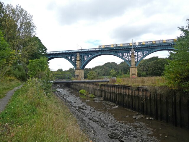
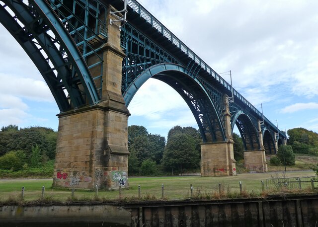
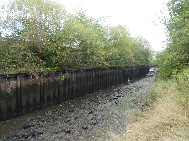
River Don, Tyne and Wear

The River Don is a 15.4 kilometres (9.6 mi) long tributary of the River Tyne in Tyne and Wear, North East England.It rises near Springwell and flows east...
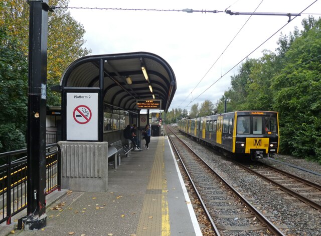
Howdon depot

Howdon depot is a light rail facility used by the Tyne and Wear Metro in Howdon, Tyne and Wear, England. The depot was built as a satellite depot of South...

Jarrow Hall (museum)

Jarrow Hall (formerly Bede's World) is a museum in Jarrow, South Tyneside, England which celebrates the life of the Venerable Bede; a monk, author and...

Nearby Amenities

Located within 500m of 54.987506,-1.4858269
Source: PGS
Lat/Long: 54.9885113/-1.4929953
Source: PGS
Lat/Long: 54.9884834/-1.4911392
Source: PGS
Lat/Long: 54.9882169/-1.4857456
Source: PGS
Lat/Long: 54.9882928/-1.4846853
Source: PGS
Lat/Long: 54.9882954/-1.4838799
Source: PGS
Lat/Long: 54.988126/-1.4838589
Source: PGS
Lat/Long: 54.9882142/-1.4819517
Source: PGS
Lat/Long: 54.9883339/-1.4819623
Created By: almien_coastlines
Source: PGS
Lat/Long: 54.9884429/-1.4800152
Source: PGS
Lat/Long: 54.9884808/-1.4795553
Source: PGS
Lat/Long: 54.9858598/-1.4793757
Source: PGS
Lat/Long: 54.98576/-1.4827768
Source: PGS
Lat/Long: 54.9858808/-1.4859105
Source: PGS
Lat/Long: 54.9859838/-1.4865312
Source: PGS
Lat/Long: 54.9860081/-1.4870925
Source: PGS
Lat/Long: 54.9860283/-1.4889195
Created By: almien_coastlines
Source: PGS
Lat/Long: 54.9861756/-1.4895564
Source: PGS
Lat/Long: 54.9861609/-1.4906505
Source: PGS
Lat/Long: 54.9862012/-1.4922309
Bus: yes
Bus Bay: left
Public Transport: stop_position
Lat/Long: 54.9898031/-1.4847985
Crossing
Crossing: traffic_signals
Crossing Ref: toucan
Tactile Paving: yes
Lat/Long: 54.9908544/-1.4897725
Bus Stop
EAST HOWDON
Local Ref: W
Naptan AtcoCode: 410000010064
Naptan Bearing: W
Naptan CommonName: EAST HOWDON
Naptan Indicator: W
Naptan Landmark: OUTSIDE CARPARK
Naptan NaptanCode: twraptma
Naptan Street: BEWICKE STREET
Naptan Verified: no
Source: naptan_import
Lat/Long: 54.9902822/-1.4877452
Bus Stop
East Howdon
Bench: no
Bus: yes
Departures Board: timetable
Local Ref: N
Naptan AtcoCode: 410000010065
Naptan Bearing: N
Naptan CommonName: EAST HOWDON
Naptan Indicator: N
Naptan Landmark: OPPOSITE ELECTRIC SUB STATION / MELDON STREET
Naptan NaptanCode: twraptmd
Naptan Street: HOWDON ROAD
Naptan Verified: no
Public Transport: platform
Shelter: yes
Source: naptan_import
Lat/Long: 54.9910694/-1.4828399
Bus Stop
East Howdon
Bench: no
Bus: yes
Departures Board: timetable
Local Ref: S
Naptan AtcoCode: 410000010077
Naptan Bearing: S
Naptan CommonName: EAST HOWDON
Naptan Indicator: S
Naptan Landmark: OUTSIDE ELECTRIC SUB STATION / LESBURY ROAD
Naptan NaptanCode: twraptpt
Naptan Street: EAST HOWDON
Naptan Verified: no
Public Transport: platform
Shelter: yes
Source: naptan_import
Lat/Long: 54.9910117/-1.4825616
Bus Stop
EAST HOWDON
Local Ref: W
Naptan AtcoCode: 410000010078
Naptan Bearing: W
Naptan CommonName: EAST HOWDON
Naptan Indicator: W
Naptan Landmark: OUTSIDE TYNE TUNNEL VEHICULAR
Naptan NaptanCode: twraptpw
Naptan Street: TYNE VIEW TERRACE
Naptan Verified: no
Source: naptan_import
Lat/Long: 54.9897274/-1.4840482
Bus Stop
Berwicke Street
Bus: yes
Departures Board: timetable
Local Ref: W
Naptan AtcoCode: 410000010079
Naptan Bearing: W
Naptan CommonName: BEWICKE STREET-COACH OPEN-W/B
Naptan Indicator: W
Naptan Landmark: OPPOSITE CAR PARK 100M NORTH PEDESTRIAN TUNNEL
Naptan NaptanCode: twraptwa
Naptan Street: BEWICKE STREET
Naptan Verified: no
Public Transport: platform
Shelter: yes
Source: naptan_import
Lat/Long: 54.9899292/-1.4872304
Bus Stop
CHAYTOR STREET-FERRY STREET-E/B
Local Ref: E
Naptan AtcoCode: 410000010516
Naptan Bearing: E
Naptan CommonName: CHAYTOR STREET-FERRY STREET-E/B
Naptan Indicator: E
Naptan Landmark: OPPOSITE FERRY STREET
Naptan NaptanCode: twratgdw
Naptan Street: CHAYTOR STREET
Naptan Verified: no
Source: naptan_import
Lat/Long: 54.9840365/-1.4855901
Bus Stop
Chaytor Street
Bench: no
Bus: yes
Departures Board: timetable
Local Ref: W
Naptan AtcoCode: 410000010517
Naptan Bearing: W
Naptan CommonName: CHAYTOR STREET-FERRY STREET-W/B
Naptan Indicator: W
Naptan Landmark: OUTSIDE FERRY STREET
Naptan NaptanCode: twratgja
Naptan Street: CHAYTOR STREET
Naptan Verified: no
Public Transport: platform
Shelter: yes
Source: naptan_import
Lat/Long: 54.9839058/-1.4871011
Bus Stop
PRIORY ROAD-PEARSON PLACE-E/B
Bench: no
Bus: yes
Local Ref: E
Naptan AtcoCode: 410000010518
Naptan Bearing: E
Naptan CommonName: PRIORY ROAD-PEARSON PLACE-E/B
Naptan Indicator: E
Naptan Landmark: OPPOSTE COMMUNITY CENTRE
Naptan NaptanCode: twratgjd
Naptan Street: PEARSON PLACE
Naptan Verified: no
Public Transport: platform
Shelter: yes
Source: naptan_import
Lat/Long: 54.9842067/-1.4833533
Bus Stop
PRIORY ROAD-PEARSON PLACE-W/B
Bench: yes
Bin: no
Bus: yes
Covered: yes
Local Ref: W
Naptan AtcoCode: 410000010519
Naptan Bearing: W
Naptan CommonName: PRIORY ROAD-PEARSON PLACE-W/B
Naptan Indicator: W
Naptan Landmark: OUTSIDE COMMUNITY CENTRE
Naptan NaptanCode: twratgjg
Naptan Street: PRIORY ROAD
Naptan Verified: no
Public Transport: platform
Shelter: yes
Source: naptan_import
Lat/Long: 54.9840862/-1.4835492
Elevator
Bicycle: yes
Fee: no
Foot: yes
Level: -1;0
Lat/Long: 54.9856771/-1.4865795
Elevator
Bicycle: yes
Fee: no
Foot: yes
Level: -1;0
Lat/Long: 54.9885799/-1.487423
Barrier: cycle_barrier
Foot: yes
Lat/Long: 54.9851416/-1.4863792
Waste Basket
Lat/Long: 54.9837682/-1.4856074
Camera Mount: building
Camera Type: dome
Man Made: surveillance
Surveillance Type: camera
Lat/Long: 54.9839184/-1.4861557
Access: private
Barrier: lift_gate
Lat/Long: 54.9903396/-1.4834593
Traffic Signals
Crossing: traffic_signals
Crossing Ref: toucan
Lat/Long: 54.98403/-1.4851277
Bus: yes
Bus Bay: right
Public Transport: stop_position
Lat/Long: 54.9911035/-1.4826447
Leisure: picnic_table
Lat/Long: 54.9841139/-1.4855474
Leisure: picnic_table
Lat/Long: 54.9843597/-1.485538
Leisure: picnic_table
Lat/Long: 54.9843952/-1.4853646
Leisure: picnic_table
Lat/Long: 54.9845567/-1.4853451
Waste Basket
Lat/Long: 54.9843637/-1.4854354
Jarrow Coachworks
Addr City: Jarrow
Addr Street: Curlew Road
Shop: car_repair
Lat/Long: 54.9843895/-1.4834255
Barrier: bollard
Lat/Long: 54.9857324/-1.4824881
S & S Stores
Addr City: North Shields
Addr Street: Meldon Street
Brand: Premier
Brand Wikidata: Q7240340
Brand Wikipedia: en:Premier Stores
Shop: convenience
Website: https://www.premier-stores.co.uk/our-stores/ss-stores
Lat/Long: 54.9913025/-1.482784
Street Lamp
Lat/Long: 54.9906168/-1.4830195
North Tyneside Waggonways
Board Type: history
Information: board
Tourism: information
Lat/Long: 54.989934/-1.4873359
Site of Stephenson's cottage
Board Type: history
Information: board
Tourism: information
Lat/Long: 54.9893477/-1.4873493
Palmer's Town
Board Type: history
Information: board
Tourism: information
Lat/Long: 54.9849924/-1.4860471
Source: PGS
Lat/Long: 54.9857625/-1.4813992
Entrance: main
Lat/Long: 54.9889373/-1.4874631
Street Lamp
Lat/Long: 54.9915251/-1.4851767
Street Lamp
Lat/Long: 54.9907772/-1.4848816
Street Lamp
Lat/Long: 54.9904556/-1.4866103
Street Lamp
Lat/Long: 54.9912343/-1.4869174
Bus: yes
Public Transport: stop_position
Lat/Long: 54.9902417/-1.4877731
Bus: yes
Bus Bay: right
Public Transport: stop_position
Lat/Long: 54.9899924/-1.4871146
Bus: yes
Bus Bay: left
Public Transport: stop_position
Lat/Long: 54.9909973/-1.4827258
Bus Stop
Bench: yes
Bus: yes
Naptan AtcoCode: 410000010078
Naptan NaptanCode: twraptpw
Public Transport: platform
Shelter: yes
Lat/Long: 54.9898709/-1.4850158
Barrier: bollard
Lat/Long: 54.9911707/-1.4822222
Artwork Type: installation
Tourism: artwork
Lat/Long: 54.9904204/-1.4855173
Jobling Memorial
Addr Street: Tyne Street
Description: About Jobling: www.capitalpunishmentuk.org/William%20Jobling.html
Historic: memorial
Inscription Url: https://openplaques.org/plaques/55790
Loc Name: Jobling Stone
Material: stone;steel
Memorial: plaque
Openplaques Id: 55790
Wikimedia Commons: File:William Jobling memorial.jpg
Lat/Long: 54.9847153/-1.4846601
The Ones that Got Away
Artist Name: Fiona Gray
Artwork Type: sculpture
Tourism: artwork
Lat/Long: 54.9891379/-1.4873154
Echo
Artist Name: Fiona Gray
Artwork Type: sculpture
Material: steel
Tourism: artwork
Lat/Long: 54.9889624/-1.487292
Barrier: bollard
Lat/Long: 54.9912322/-1.4830276
The data included in this document is from www.openstreetmap.org. The data is made available under ODbL.

Have you been to Howden, East?

Leave your review of Howden, East below (or comments, questions and feedback).