Northumberland Dock

Sea, Estuary, Creek in Northumberland

England

Northumberland Dock

Cruise ship moored on the River Tyne The Marella Explorer 2 in Tui livery.
Cruise ship moored on the River Tyne Credit: Jeremy Bolwell

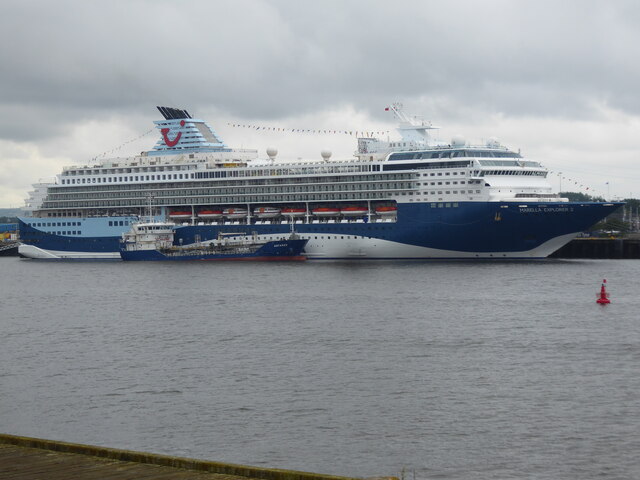
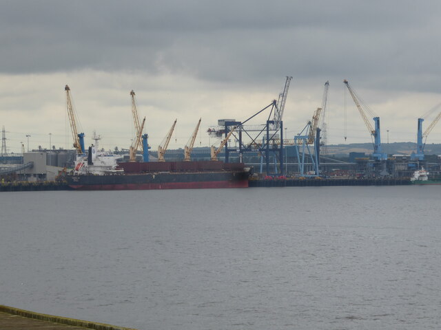
Northumberland Dock is a prominent maritime feature located in Northumberland, a county in the northeastern part of England. Situated on the coast, it encompasses a vast expanse of sea, estuary, and creek. The dock serves as a crucial hub for various maritime activities, including shipping, trade, and fishing.

The sea surrounding Northumberland Dock is part of the North Sea, a body of water renowned for its rich biodiversity and strategic importance for international trade and transportation. It provides a gateway for ships entering and exiting the dock, connecting Northumberland to global markets.

Nestled within the dock is an estuary, a partially enclosed coastal body of water where freshwater from rivers and streams mixes with saltwater from the sea. This estuary is characterized by its intricate network of channels, mudflats, and salt marshes, creating a unique habitat for a diverse range of marine and bird species. It serves as an important breeding and feeding ground for various migratory birds and supports local fisheries.

Moreover, the dock features a creek, a narrow waterway that winds its way inland. This creek offers sheltered berths for smaller vessels, providing a safe haven for recreational boats and fishing boats alike.

Northumberland Dock plays a vital role in the economic and cultural life of the region. It facilitates trade and commerce, supports local fishing communities, and offers opportunities for leisure activities such as boating, sailing, and birdwatching. Its diverse marine ecosystem and picturesque surroundings make it a popular destination for both locals and tourists seeking to explore the natural beauty of Northumberland.

If you have any feedback on the listing, please let us know in the comments section below.

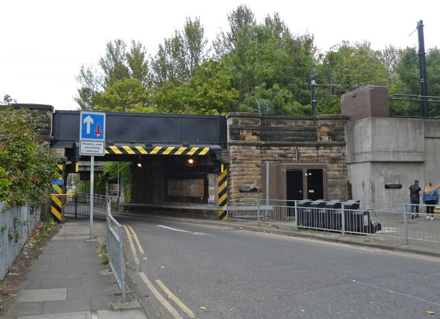
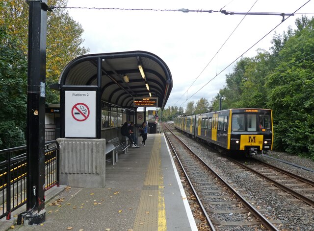
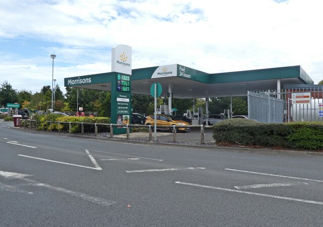
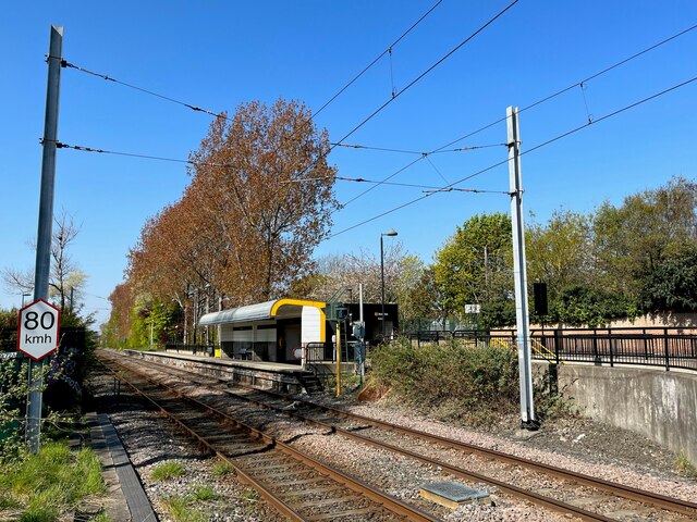
Northumberland Dock Images

Images are sourced within 2km of 54.990011/-1.4726201 or Grid Reference NZ3366. Thanks to Geograph Open Source API. All images are credited.

Cruise ship moored on the River Tyne The Marella Explorer 2 in Tui livery.
Cruise ship moored on the River Tyne
The Marella Explorer 2 in Tui livery.
Cranes on the skyline and moored ships on the Tyne viewed from South Shields Too much for my brain to take in. The scale bamboozles me, the depth of history is tangible here. Overload. It is all I can do to photograph it, I certainly cannot process it. What beauty.
Cranes on the skyline and moored ships on the Tyne viewed from South Shields
Too much for my brain to take in. The scale bamboozles me, the depth of history is tangible here. Overload. It is all I can do to photograph it, I certainly cannot process it. What beauty.
Aldi, Howdon
Aldi, Howdon
Parade of shops on Tynemouth Road
Terraced houses on Bewicke Road
Bewicke Road
Bewicke Road
Jet Service Station, Willington Quay Cars can be seen queuing for fuel in 'panic' mode, during the petrol 'crisis' of September 2021.
Jet Service Station, Willington Quay
Cars can be seen queuing for fuel in 'panic' mode, during the petrol 'crisis' of September 2021.
Sambucca Restaurant Formerly the Duke of Wellington: <a href="https://www.geograph.org.uk/photo/104175">NZ3366 : The Duke of Wellington</a>
Sambucca Restaurant
Formerly the Duke of Wellington: NZ3366 : The Duke of Wellington
New stand at the 1st Cloud Arena Home of South Shields FC.
New stand at the 1st Cloud Arena
Home of South Shields FC.
Warrington take a free kick This Northern Premier League fixture ended South Shields 3 Warrington Town 2.
Warrington take a free kick
This Northern Premier League fixture ended South Shields 3 Warrington Town 2.
Spot the ball This Northern Premier League fixture ended South Shields 3 Warrington Town 2.
Spot the ball
This Northern Premier League fixture ended South Shields 3 Warrington Town 2.
Railway bridge near Bede Station
Bede Metro Station
Bede Metro Station
Petrol station at Morrisons
Benchmark, Howdon Lane, Goods Yard Wall Detail of the Ordnance Survey cut benchmark on the corner of the former railway goods yard wall near Howdon Level Crossing and Metro Station.  The benchmark marks a height of 32.0985m above sea level (Ordnance Datum Newlyn) last verified in 1962 (location photograph <a href="https://www.geograph.org.uk/photo/7160078">NZ3266 : Howdon Lane</a>).
Benchmark, Howdon Lane, Goods Yard Wall
Detail of the Ordnance Survey cut benchmark on the corner of the former railway goods yard wall near Howdon Level Crossing and Metro Station. The benchmark marks a height of 32.0985m above sea level (Ordnance Datum Newlyn) last verified in 1962 (location photograph NZ3266 : Howdon Lane).
Howdon Lane Howdon Lane near Howdon Station and the level crossing over the Tyne and Wear Metro.
The stone wall on the right was formerly that of the railway goods yard. Facing the road on the nearest corner of the stone wall is an Ordnance Survey cut benchmark (photograph <a href="https://www.geograph.org.uk/photo/7095155">NZ3266 : Benchmark, Howdon Lane, Goods Yard Wall</a>).
Howdon Lane
Howdon Lane near Howdon Station and the level crossing over the Tyne and Wear Metro. The stone wall on the right was formerly that of the railway goods yard. Facing the road on the nearest corner of the stone wall is an Ordnance Survey cut benchmark (photograph NZ3266 : Benchmark, Howdon Lane, Goods Yard Wall).
Howdon Station The Tyne and Wear Metro platforms at Howdon Station are staggered either side of the level crossing over Howdon Lane.  This platform, to the west of the level crossing serves trains heading eastbound to the coast on the track designated the ‘In Loop’.  The ‘Out Loop’ track on what is essentially a circular part of the network is that nearest the camera and carries trains bound for Newcastle and the St James terminus.
Howdon Station
The Tyne and Wear Metro platforms at Howdon Station are staggered either side of the level crossing over Howdon Lane. This platform, to the west of the level crossing serves trains heading eastbound to the coast on the track designated the ‘In Loop’. The ‘Out Loop’ track on what is essentially a circular part of the network is that nearest the camera and carries trains bound for Newcastle and the St James terminus.
Howdon Children's Centre entrance gates The Children’s Centre provides help and advice on child and family health, parenting, training, managing money and employment.  It  also provides free activities for the whole family, aimed at giving families opportunities to have fun together and to develop skills for school, work and life.
Howdon Children's Centre entrance gates
The Children’s Centre provides help and advice on child and family health, parenting, training, managing money and employment. It also provides free activities for the whole family, aimed at giving families opportunities to have fun together and to develop skills for school, work and life.
Show me another place!

Northumberland Dock is located at Grid Ref: NZ3366 (Lat: 54.990011, Lng: -1.4726201)

Unitary Authority: North Tyneside

Police Authority: Northumbria

What 3 Words

///burns.glow.hoot. Near Jarrow, Tyne & Wear

Related Wikis

River Don, Tyne and Wear

The River Don is a 15.4 kilometres (9.6 mi) long tributary of the River Tyne in Tyne and Wear, North East England.It rises near Springwell and flows east...

Royal Quays

Royal Quays is an area of North Shields, North Tyneside, England, beside the River Tyne. Built on the site of former docks, and containing the pre-existing...

Jarrow Hall (museum)

Jarrow Hall (formerly Bede's World) is a museum in Jarrow, South Tyneside, England which celebrates the life of the Venerable Bede; a monk, author and...

Tyne Tunnel

The Tyne Tunnel is the name given to two 2-lane vehicular toll tunnels under the River Tyne in North East England. Originally opened in 1967 and expanded...

Tyne Renewable Energy Plant

Tyne Renewable Energy Plant (or Tyne REP) was a proposed biomass power station, to be built on the north bank of the River Tyne at North Shields. The plant...

Jarrow Hall

Jarrow Hall is a grade II listed building in Jarrow, Northeast England, and part of the larger Jarrow Hall museum site. It was built around 1785 by local...

Percy Main

Percy Main is a small village absorbed into North Shields, North East England. Historically in Northumberland, it is now part of Tyne and Wear. == History... ==

Meadow Well

Meadow Well, also known as Meadowell or the Ridges, is a district of North Shields, North East England. Historically in Northumberland, it is now part...

Nearby Amenities

Located within 500m of 54.990011,-1.4726201
Source: PGS
Lat/Long: 54.9884808/-1.4795553
Source: PGS
Lat/Long: 54.9886957/-1.477302
Source: PGS
Lat/Long: 54.9889577/-1.4742089
Source: PGS
Lat/Long: 54.9889963/-1.473573
Source: PGS
Lat/Long: 54.9890225/-1.4733448
Source: PGS
Lat/Long: 54.9896585/-1.4745138
Source: PGS
Lat/Long: 54.9900771/-1.4745878
Source: PGS
Lat/Long: 54.9903138/-1.4731451
Created By: almien_coastlines
Source: PGS
Lat/Long: 54.9904837/-1.4716968
Source: PGS
Lat/Long: 54.9904856/-1.4707246
Source: PGS
Lat/Long: 54.9903375/-1.4707196
Source: PGS
Lat/Long: 54.9898643/-1.4708433
Source: PGS
Lat/Long: 54.9895751/-1.4710247
Source: PGS
Lat/Long: 54.9892723/-1.4718837
Source: PGS
Lat/Long: 54.9891572/-1.4718752
Created By: almien_coastlines
Source: PGS
Lat/Long: 54.9891867/-1.4704098
Created By: almien_coastlines
Source: PGS
Lat/Long: 54.9891757/-1.4695188
Created By: almien_coastlines
Source: PGS
Lat/Long: 54.9891647/-1.4686288
Created By: almien_coastlines
Source: PGS
Lat/Long: 54.9891587/-1.4681828
Created By: almien_coastlines
Source: PGS
Lat/Long: 54.9891427/-1.4668478
Created By: almien_coastlines
Source: PGS
Lat/Long: 54.9890117/-1.4666308
Created By: almien_coastlines
Source: PGS
Lat/Long: 54.988959/-1.4662146
Created By: almien_coastlines
Source: PGS
Lat/Long: 54.988953/-1.4656027
Source: PGS
Lat/Long: 54.9863293/-1.4718485
Source: PGS
Lat/Long: 54.9863391/-1.4731228
Source: PGS
Lat/Long: 54.986426/-1.4764121
Power: tower
Lat/Long: 54.9929415/-1.4761962
Power: tower
Lat/Long: 54.9858591/-1.4734117
Power: tower
Lat/Long: 54.98971/-1.4749439
The data included in this document is from www.openstreetmap.org. The data is made available under ODbL.

Have you been to Northumberland Dock?

Leave your review of Northumberland Dock below (or comments, questions and feedback).