Howdon Pans
Settlement in Northumberland
England
Howdon Pans
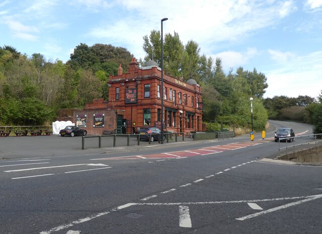
Howdon Pans is a small village located in Northumberland, England. Situated on the north bank of the River Tyne, it lies approximately 8 miles east of Newcastle upon Tyne. The village is part of the wider urban area known as North Tyneside.
Historically, Howdon Pans was a notable industrial area, primarily known for its coal mining activities during the 19th and early 20th centuries. The village derived its name from the local salt pans that were used for the extraction of salt from seawater.
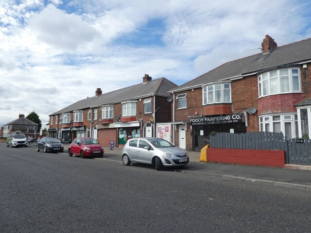
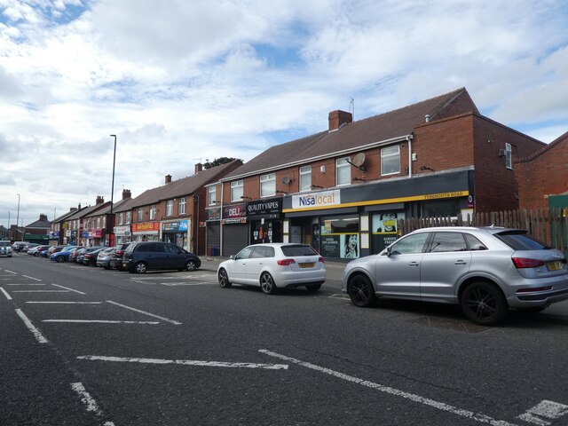
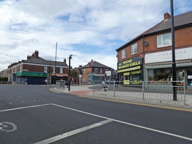
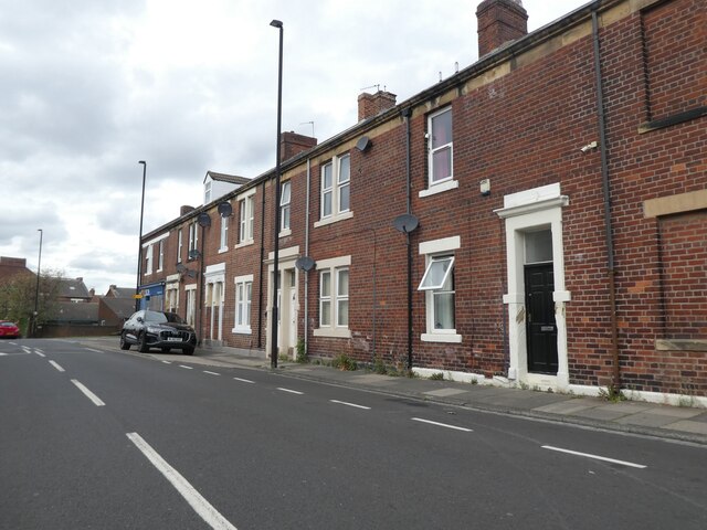
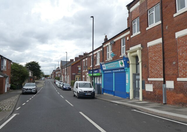
In recent years, Howdon Pans has undergone significant redevelopment and regeneration, transforming it into a residential area with a mix of housing types. It is now characterized by a blend of modern houses and older, more traditional buildings.
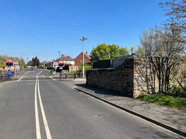
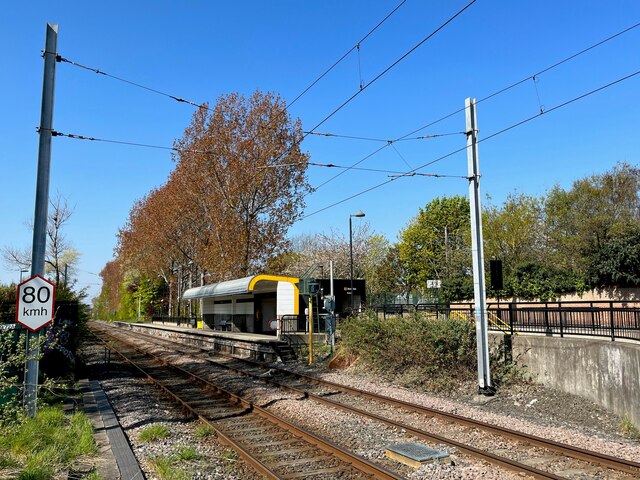
The village is well-connected, with several transportation options available. The Howdon Metro station provides easy access to Newcastle city center and other nearby areas. Additionally, the A193 road runs through the village, connecting it to the wider road network.
Despite its industrial past, Howdon Pans boasts beautiful natural surroundings. The nearby Rising Sun Country Park offers picturesque green spaces and wildlife habitats, providing residents with opportunities for outdoor activities and relaxation.
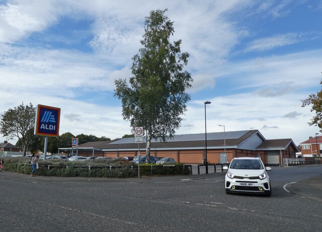
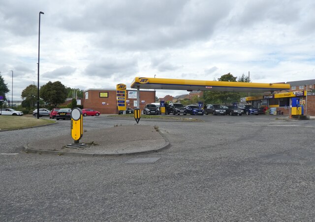
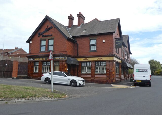
In terms of amenities, Howdon Pans is home to a range of local shops, schools, and community facilities, making it a self-sufficient and vibrant village. Overall, Howdon Pans is a charming and evolving community that combines its industrial heritage with modern residential living.
If you have any feedback on the listing, please let us know in the comments section below.
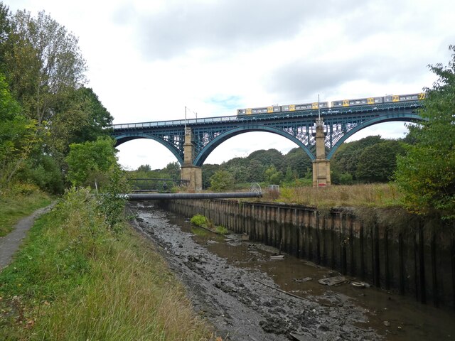
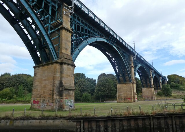
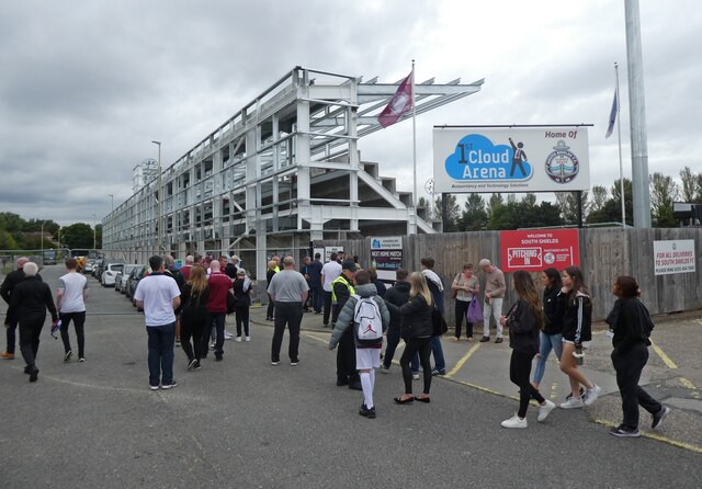
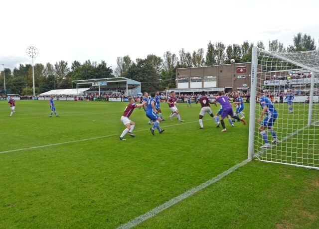
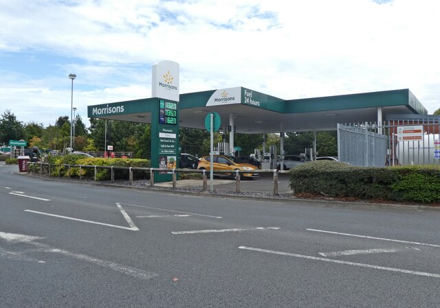
Howdon Pans Images
Images are sourced within 2km of 54.98981/-1.485783 or Grid Reference NZ3366. Thanks to Geograph Open Source API. All images are credited.
Howdon Pans is located at Grid Ref: NZ3366 (Lat: 54.98981, Lng: -1.485783)
Unitary Authority: North Tyneside
Police Authority: Northumbria
What 3 Words
///races.cubs.home. Near Jarrow, Tyne & Wear
Nearby Locations
Related Wikis

Tyne Tunnel
The Tyne Tunnel is the name given to two 2-lane vehicular toll tunnels under the River Tyne in North East England. Originally opened in 1967 and expanded...

Willington Quay railway station
Willington Quay was a railway station on the Riverside Branch, which ran between Byker and Willington Quay. The station served Willington Quay in North...

Howdon depot
Howdon depot is a light rail facility used by the Tyne and Wear Metro in Howdon, Tyne and Wear, England. The depot was built as a satellite depot of South...

Howdon Metro station
Howdon is a Tyne and Wear Metro station, serving the suburb of Howdon, North Tyneside in Tyne and Wear, England. It joined the network on 14 November 1982...

Jarrow Town Hall
Jarrow Town Hall is a municipal building in Grange Road, Jarrow, Tyne and Wear, England. The town hall, which was the headquarters of Jarrow Borough Council...

River Don, Tyne and Wear
The River Don is a 15.4 kilometres (9.6 mi) long tributary of the River Tyne in Tyne and Wear, North East England.It rises near Springwell and flows east...

Jarrow March
The Jarrow March of 5–31 October 1936, also known as the Jarrow Crusade, was an organised protest against the unemployment and poverty suffered in the...

Jarrow
Jarrow ( or ) is a town in South Tyneside in the county of Tyne and Wear, England. It is on the south bank of the River Tyne, about 3 miles (4.8 km) from...
Nearby Amenities
Located within 500m of 54.98981,-1.485783Have you been to Howdon Pans?
Leave your review of Howdon Pans below (or comments, questions and feedback).