Howe
Settlement in Yorkshire Hambleton
England
Howe

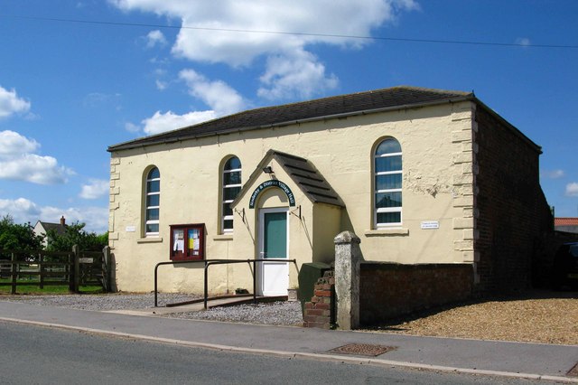
Howe is a small village located in the picturesque county of Yorkshire, England. Situated in the district of Hambleton, Howe is nestled amongst rolling green hills and idyllic countryside, offering residents and visitors a tranquil and charming setting.
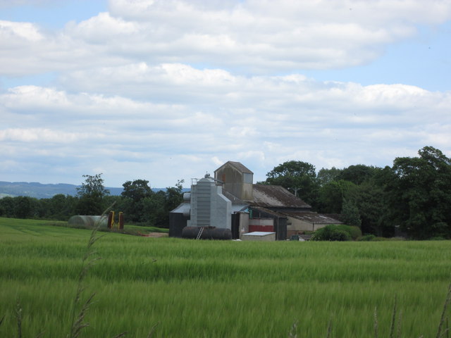
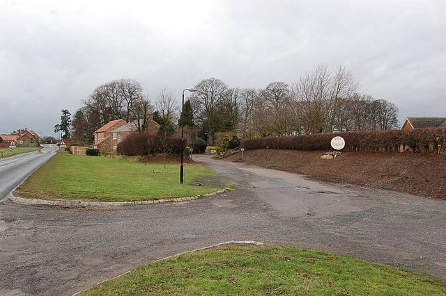
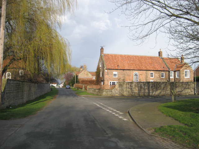
With a population of around 200 people, Howe maintains a close-knit community atmosphere. The village is characterized by traditional stone houses and cottages, giving it a timeless and rustic charm. The surrounding landscape is predominantly agricultural, with vast fields and farmland stretching as far as the eye can see.
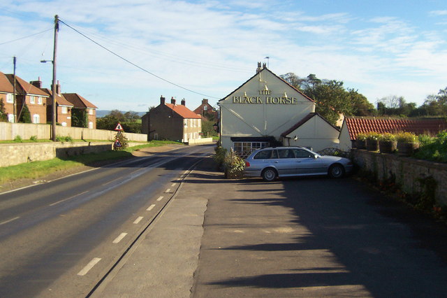
Although Howe is a small village, it offers several amenities for its residents. These include a local pub, a village hall, and a primary school, which serves the local children. Additionally, the village is well-connected to nearby towns and cities, with good transport links to major roads and public transportation services.
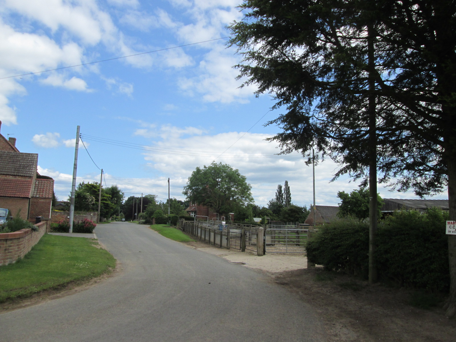
Nature enthusiasts will be delighted by the abundance of outdoor activities available in and around Howe. The village is surrounded by beautiful walking and cycling trails, allowing visitors to explore the stunning Yorkshire countryside. Moreover, the nearby North York Moors National Park offers breathtaking scenery, making it a popular destination for hikers and nature lovers.
Overall, Howe is a charming and peaceful village that embodies the quintessential beauty of rural Yorkshire. It is a place where residents and visitors can escape the hustle and bustle of city life and immerse themselves in the natural splendor of the English countryside.
If you have any feedback on the listing, please let us know in the comments section below.
Howe Images
Images are sourced within 2km of 54.217346/-1.455032 or Grid Reference SE3580. Thanks to Geograph Open Source API. All images are credited.


![Howe Beck A swollen Howe Beck, looking downstream from Cowland Lane. The water here is backing up from the nearby Swale, which is at a high [but not flood] level after heavy winter rains.](https://s0.geograph.org.uk/geophotos/03/80/53/3805348_e8cbabc6.jpg)

Howe is located at Grid Ref: SE3580 (Lat: 54.217346, Lng: -1.455032)
Division: North Riding
Administrative County: North Yorkshire
District: Hambleton
Police Authority: North Yorkshire
What 3 Words
///loafing.lavender.upon. Near Thirsk, North Yorkshire
Nearby Locations
Related Wikis

Howe, North Yorkshire
Howe is a small village and civil parish in the Hambleton District of North Yorkshire, England. It is situated near Ainderby Quernhow and the A61 and 5...
Skipton-on-Swale
Skipton-on-Swale is a small village and civil parish in the Hambleton district of North Yorkshire, England. The population at the 2011 Census was less...
Ainderby Quernhow
Ainderby Quernhow is a village and civil parish in the Hambleton District of North Yorkshire, England. The village is situated on the B6267 Thirsk to...
Baldersby
Baldersby is a village and civil parish in North Yorkshire, England, about 6 miles (10 km) west of Thirsk and 5 miles (8 km) north-east of Ripon on the...
Sinderby
Sinderby is a village and civil parish in North Yorkshire, England. Sinderby is located 223 miles (359 km) north of London and 48 miles (77 km) south of...

RAF Skipton-on-Swale
Royal Air Force Skipton-on-Swale or more simply RAF Skipton-on-Swale is a former Royal Air Force station operated by RAF Bomber Command during the Second...
Holme, North Yorkshire
Holme (or Holme on Swale) is a small village and civil parish in the Hambleton District of North Yorkshire, England. It is located near Pickhill, Sinderby...

Baldersby railway station
Baldersby railway station was a railway station serving the village of Baldersby in North Yorkshire, England. It was located on a line from Melmerby, north...
Nearby Amenities
Located within 500m of 54.217346,-1.455032Have you been to Howe?
Leave your review of Howe below (or comments, questions and feedback).