Ainderby Quernhow

Civil Parish in Yorkshire Hambleton

England

Ainderby Quernhow

Village water pillar Clearly well cared for and treasured, this cast iron water pillar is  actually a self closing tap rather than a pump, designed to deliver water from a pressurised supply. Sadly, it's no longer working.
Village water pillar Credit: Leanmeanmo

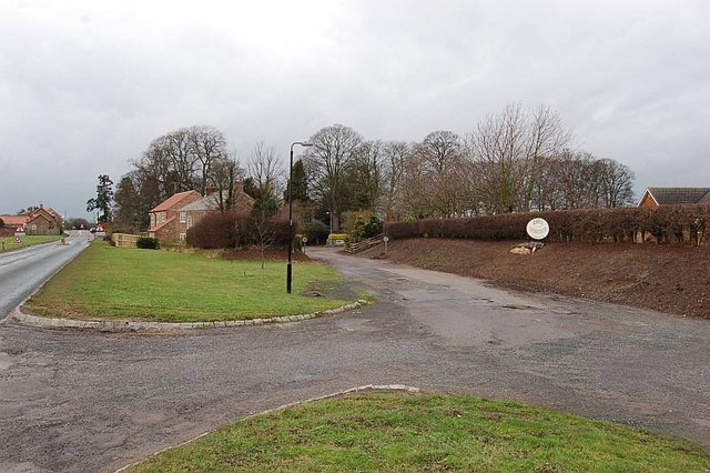
Ainderby Quernhow is a civil parish located in the county of North Yorkshire, England. It is situated approximately 4 miles southwest of the market town of Thirsk, in the Hambleton district. The parish covers an area of about 1,500 acres and is surrounded by beautiful countryside, making it an idyllic rural setting.

The name "Ainderby Quernhow" is believed to have originated from the Old Norse words "Eyindrbýr" and "Kvornháls," meaning "the farmstead by the mill on the hill." This suggests that the area has a long history of farming and milling activities.

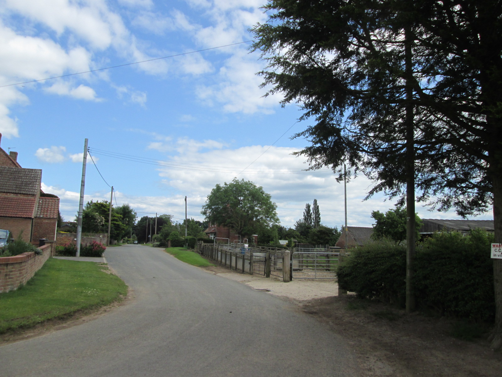
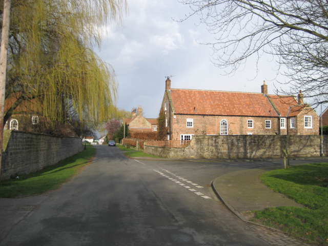
The village itself is small and has a population of around 200 people. It consists of a mix of traditional stone-built houses and more modern dwellings. The local community is close-knit, with a strong sense of pride in their heritage and surroundings.

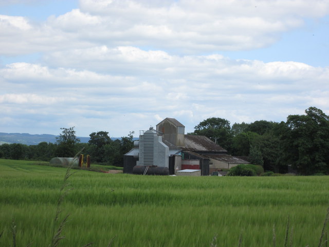
Ainderby Quernhow is known for its picturesque landscapes, with rolling hills and meandering streams. The countryside is dotted with farms and fields, providing a peaceful and tranquil atmosphere. The parish is also home to several notable historical buildings, including St. Helen's Church, which dates back to the 12th century.

Despite its rural setting, Ainderby Quernhow benefits from good transport links. The A168 road runs nearby, connecting the village to larger towns and cities in the region. Thirsk railway station is also easily accessible, providing regular train services to destinations across the country.

Overall, Ainderby Quernhow offers a charming and tranquil place to live, with a strong sense of community and a rich historical heritage.

If you have any feedback on the listing, please let us know in the comments section below.

Ainderby Quernhow Images

Images are sourced within 2km of 54.221836/-1.464206 or Grid Reference SE3580. Thanks to Geograph Open Source API. All images are credited.

Village water pillar Clearly well cared for and treasured, this cast iron water pillar is  actually a self closing tap rather than a pump, designed to deliver water from a pressurised supply. Sadly, it's no longer working.
Village water pillar
Clearly well cared for and treasured, this cast iron water pillar is actually a self closing tap rather than a pump, designed to deliver water from a pressurised supply. Sadly, it's no longer working.
A 1 northbound - 1980 On the A 1 near Kirklington heading north.
A 1 northbound - 1980
On the A 1 near Kirklington heading north.
Coldstone Lane A1 junction
Quernhow Cafe
Quernhow Cafe
A1(M), northbound The A1 is the longest numbered road in the UK at 410 miles long. It connects London with Edinburgh, via the east of England. 
For much of its path it follows the Great North Road the old coaching route between London and Edinburgh. Several sections of the route are classified as motorway A1(M). The modern A1 bypasses the towns the Great North Road passed through and is dual carriageway for most of its route through England.
A1(M), northbound
The A1 is the longest numbered road in the UK at 410 miles long. It connects London with Edinburgh, via the east of England. For much of its path it follows the Great North Road the old coaching route between London and Edinburgh. Several sections of the route are classified as motorway A1(M). The modern A1 bypasses the towns the Great North Road passed through and is dual carriageway for most of its route through England.
A1(M) heading north
A1(M) heading north
Lorry on the old A1
Lorry on the old A1
Sinderby railway station (site), Yorkshire Opened in 1852 by the Leeds Northern Railway on its line from Leeds to Northallerton, this station was closed in 1963 and was demolished in 2009. View north towards Pickhill and Northallerton.
Sinderby railway station (site), Yorkshire
Opened in 1852 by the Leeds Northern Railway on its line from Leeds to Northallerton, this station was closed in 1963 and was demolished in 2009. View north towards Pickhill and Northallerton.
Holme village
Holme village
Footpath to Ainderby Quernhow This is the path at <a href="https://www.geograph.org.uk/photo/1353988">SE3581 : To Ainderby Quernhow</a>    The farmer has marked the way and it is easy to follow
Footpath to Ainderby Quernhow
This is the path at SE3581 : To Ainderby Quernhow The farmer has marked the way and it is easy to follow
Footpath crossing Howe Beck
Jaipur Spice
Jaipur Spice
Farm buildings at Howe Hill
New house under construction Situated on farmland by the route to the old airfield.
New house under construction
Situated on farmland by the route to the old airfield.
Track to the old airfield The track is mostly used now by turkey farmers.
Track to the old airfield
The track is mostly used now by turkey farmers.
Ploughed and planted field near Skipton-on-Swale A little-used footpath runs on the side of the field. The farm ahead is on the edge of Skipton-on-Swale.
Ploughed and planted field near Skipton-on-Swale
A little-used footpath runs on the side of the field. The farm ahead is on the edge of Skipton-on-Swale.
Howe Beck A swollen Howe Beck, looking downstream from Cowland Lane. The water here is backing up from the nearby Swale, which is at a high [but not flood] level after heavy winter rains.
Howe Beck
A swollen Howe Beck, looking downstream from Cowland Lane. The water here is backing up from the nearby Swale, which is at a high [but not flood] level after heavy winter rains.
Cowfield Lane Or possibly Sandfield Lane, but one would guess that on this, the south side of the parish boundary, it will be Cowfield Lane. It looks as though NYCC have spent some money on resurfacing this lane recently as it used to have grass up the middle. Strange to spend the money here when there are so many more important roads full of potholes and patches.
Cowfield Lane
Or possibly Sandfield Lane, but one would guess that on this, the south side of the parish boundary, it will be Cowfield Lane. It looks as though NYCC have spent some money on resurfacing this lane recently as it used to have grass up the middle. Strange to spend the money here when there are so many more important roads full of potholes and patches.
Show me another place!

Ainderby Quernhow is located at Grid Ref: SE3580 (Lat: 54.221836, Lng: -1.464206)

Division: North Riding

Administrative County: North Yorkshire

District: Hambleton

Police Authority: North Yorkshire

What 3 Words

///quilting.mobile.orchids. Near Thirsk, North Yorkshire

Related Wikis

Ainderby Quernhow

Ainderby Quernhow is a village and civil parish in the Hambleton District of North Yorkshire, England. The village is situated on the B6267 Thirsk to...

Howe, North Yorkshire

Howe is a small village and civil parish in the Hambleton District of North Yorkshire, England. It is situated near Ainderby Quernhow and the A61 and 5...

Sinderby

Sinderby is a village and civil parish in North Yorkshire, England. Sinderby is located 223 miles (359 km) north of London and 48 miles (77 km) south of...

Holme, North Yorkshire

Holme (or Holme on Swale) is a small village and civil parish in the Hambleton District of North Yorkshire, England. It is located near Pickhill, Sinderby...

Sinderby railway station

Sinderby railway station served the village of Sinderby, North Yorkshire, England from 1852 to 1963 on the Leeds-Northallerton Railway. == History == The...

Skipton-on-Swale

Skipton-on-Swale is a small village and civil parish in the Hambleton district of North Yorkshire, England. The population at the 2011 Census was less...

Baldersby

Baldersby is a village and civil parish in North Yorkshire, England, about 6 miles (10 km) west of Thirsk and 5 miles (8 km) north-east of Ripon on the...

RAF Skipton-on-Swale

Royal Air Force Skipton-on-Swale or more simply RAF Skipton-on-Swale is a former Royal Air Force station operated by RAF Bomber Command during the Second...

Nearby Amenities

Located within 500m of 54.221836,-1.464206
Ainderby Quernhow
Place: hamlet
Lat/Long: 54.2230686/-1.4669098
Post Box
Post Box Type: lamp
Lat/Long: 54.2232212/-1.4686791
Grit Bin
Lat/Long: 54.2232054/-1.4686687
The data included in this document is from www.openstreetmap.org. The data is made available under ODbL.

Have you been to Ainderby Quernhow?

Leave your review of Ainderby Quernhow below (or comments, questions and feedback).