Howden Pans
Settlement in Northumberland
England
Howden Pans
Howden Pans is a small village located in the county of Northumberland, England. Situated in the northeastern part of the country, it lies approximately 3 miles east of the market town of Alnwick. The village is nestled in a rural setting, surrounded by picturesque countryside and rolling hills.
The name "Howden Pans" refers to the large expanse of marshy land in the area, known as "pans," which are a result of glacial activity thousands of years ago. These pans provide a unique habitat for a variety of wetland plants and wildlife, making it a popular spot for nature enthusiasts and birdwatchers.
The village itself is characterized by a collection of charming stone buildings, some of which date back centuries. It has a small, tight-knit community, with a population of around 200 residents. The village is predominantly residential, with a few local businesses and amenities serving the needs of the community.
Despite its small size, Howden Pans benefits from its proximity to the nearby town of Alnwick. Residents have easy access to a wider range of shops, supermarkets, schools, and healthcare facilities. The village is also well-connected by several bus routes, providing transport links to surrounding areas.
Howden Pans offers a peaceful and idyllic setting, with beautiful countryside vistas and a close-knit community. It is an ideal location for those seeking a quiet, rural lifestyle while still enjoying the convenience of nearby amenities.
If you have any feedback on the listing, please let us know in the comments section below.
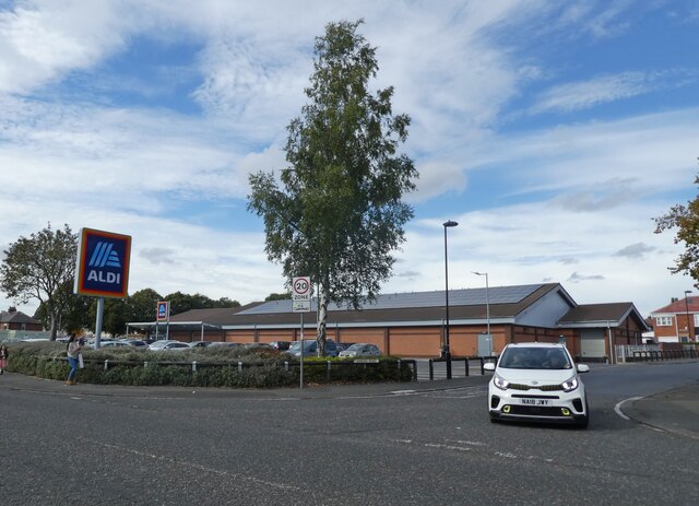
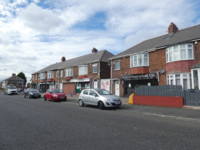
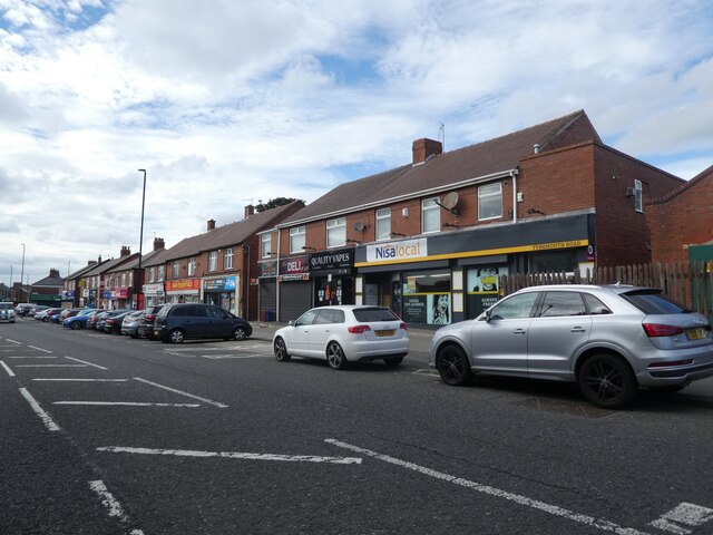
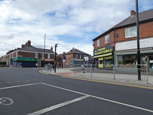
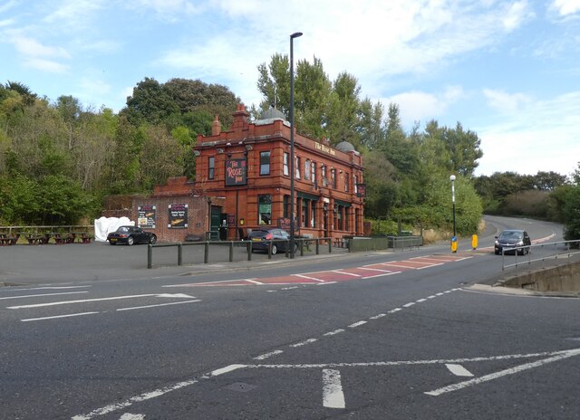
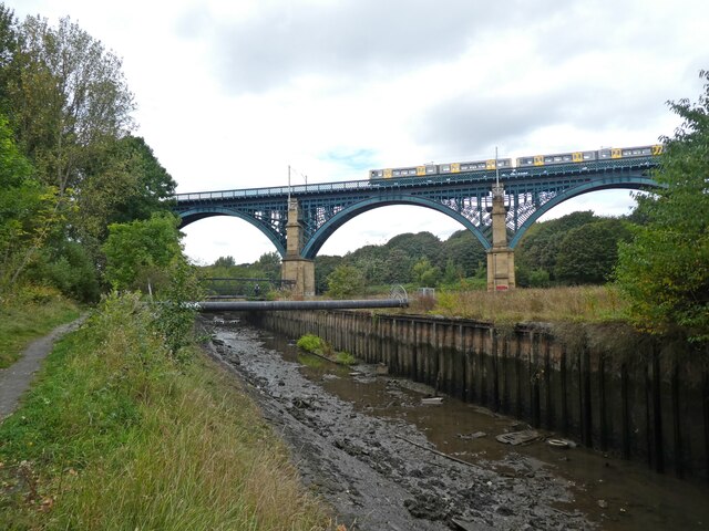
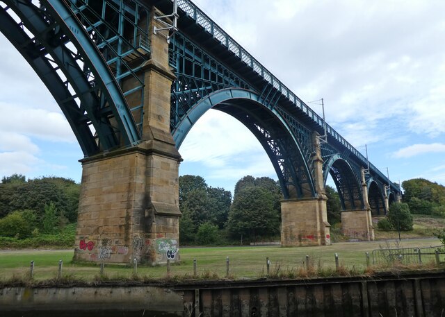
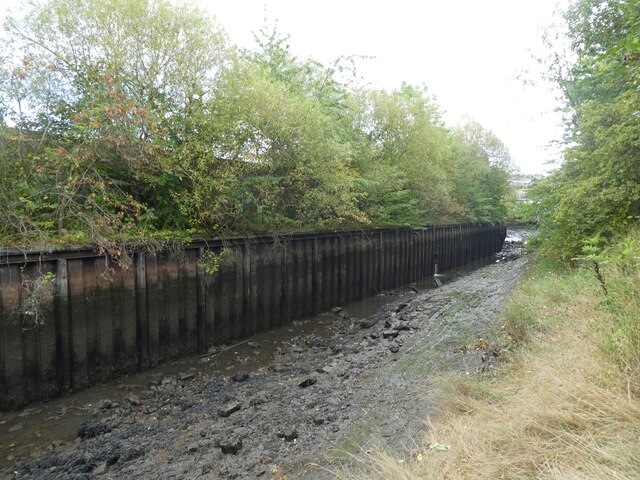
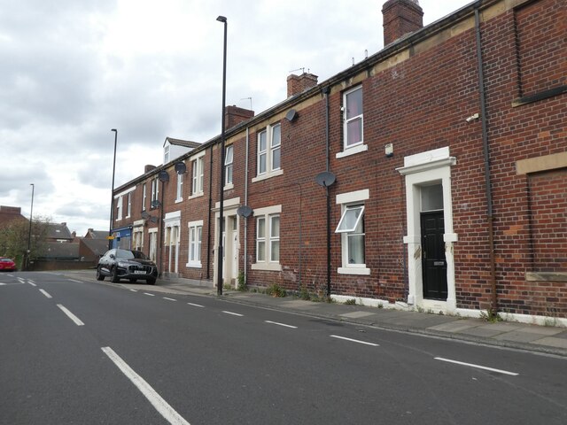
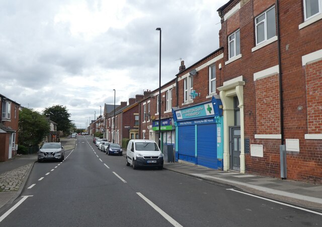
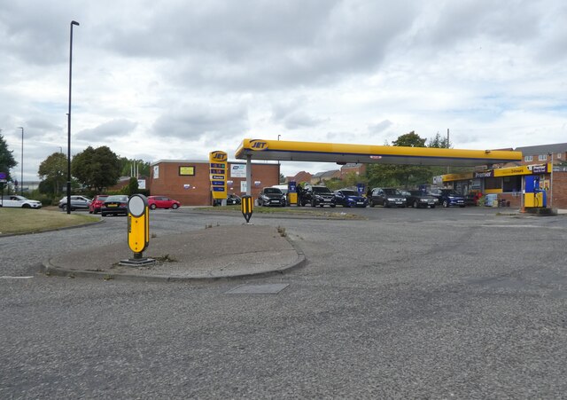
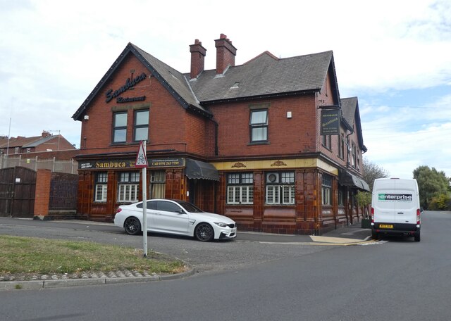
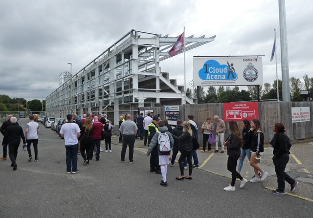
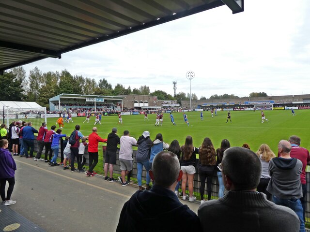
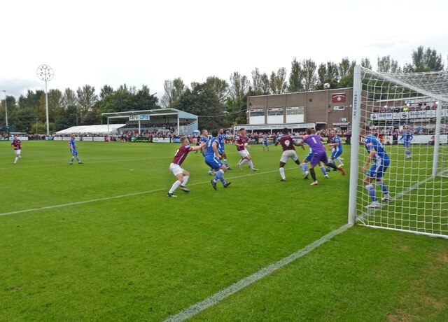
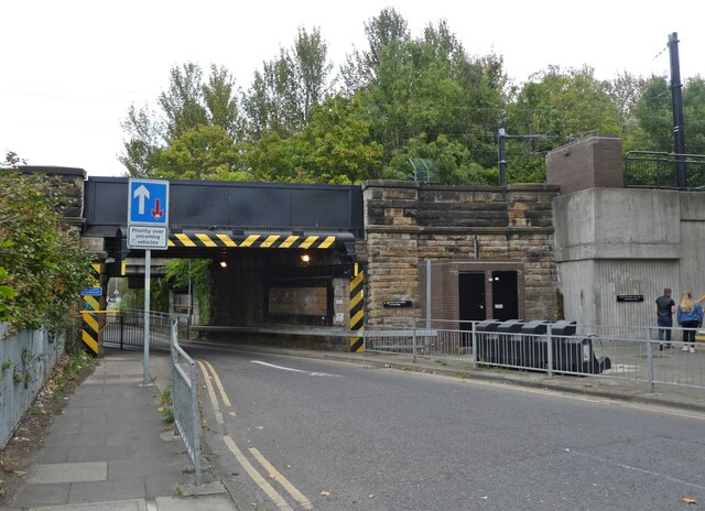
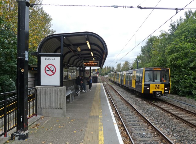
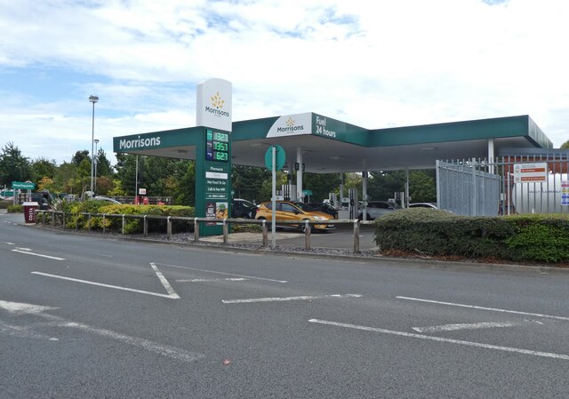
Howden Pans Images
Images are sourced within 2km of 54.987506/-1.4858269 or Grid Reference NZ3366. Thanks to Geograph Open Source API. All images are credited.
Howden Pans is located at Grid Ref: NZ3366 (Lat: 54.987506, Lng: -1.4858269)
Unitary Authority: North Tyneside
Police Authority: Northumbria
What 3 Words
///fried.loving.cheer. Near Jarrow, Tyne & Wear
Nearby Locations
Related Wikis

Tyne Tunnel
The Tyne Tunnel is the name given to two 2-lane vehicular toll tunnels under the River Tyne in North East England. Originally opened in 1967 and expanded...

Jarrow Town Hall
Jarrow Town Hall is a municipal building in Grange Road, Jarrow, Tyne and Wear, England. The town hall, which was the headquarters of Jarrow Borough Council...

Jarrow March
The Jarrow March of 5–31 October 1936, also known as the Jarrow Crusade, was an organised protest against the unemployment and poverty suffered in the...

Jarrow
Jarrow ( or ) is a town in South Tyneside in the county of Tyne and Wear, England. It is on the south bank of the River Tyne, about 3 miles (4.8 km) from...

Willington Quay railway station
Willington Quay was a railway station on the Riverside Branch, which ran between Byker and Willington Quay. The station served Willington Quay in North...

River Don, Tyne and Wear
The River Don is a 15.4 kilometres (9.6 mi) long tributary of the River Tyne in Tyne and Wear, North East England.It rises near Springwell and flows east...

Howdon depot
Howdon depot is a light rail facility used by the Tyne and Wear Metro in Howdon, Tyne and Wear, England. The depot was built as a satellite depot of South...

Jarrow Hall (museum)
Jarrow Hall (formerly Bede's World) is a museum in Jarrow, South Tyneside, England which celebrates the life of the Venerable Bede; a monk, author and...
Nearby Amenities
Located within 500m of 54.987506,-1.4858269Have you been to Howden Pans?
Leave your review of Howden Pans below (or comments, questions and feedback).