Howden on Tyne
Settlement in Northumberland
England
Howden on Tyne
Howden on Tyne is a small village located in the county of Northumberland, England. Situated in the northern part of the country, it lies on the banks of the River Tyne, approximately 7 miles east of Newcastle upon Tyne.
The village is known for its picturesque surroundings, with rolling hills and beautiful countryside. It offers residents and visitors a peaceful and rural atmosphere, making it an ideal place for those seeking tranquility away from the hustle and bustle of city life.
Howden on Tyne boasts a rich history, with evidence of settlements dating back to Roman times. The nearby Roman Wall, a UNESCO World Heritage site, serves as a testament to the area's ancient past. The village itself features some charming historical buildings, including a 12th-century church and several traditional stone houses.
While primarily a residential area, Howden on Tyne provides easy access to various amenities and facilities. The village has a small selection of local shops and services, including a post office and a village hall. For more extensive shopping and entertainment options, residents can easily reach nearby towns and cities such as Newcastle upon Tyne and Gateshead.
The surrounding countryside offers plenty of opportunities for outdoor activities, including hiking, cycling, and fishing. The nearby Tyne Riverside Country Park provides a serene setting for nature walks and picnics, while the River Tyne itself is popular for boating and water sports.
Overall, Howden on Tyne offers a charming and idyllic setting with a rich historical background, making it an attractive place to live or visit for those seeking a peaceful countryside retreat.
If you have any feedback on the listing, please let us know in the comments section below.
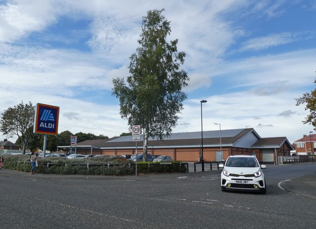
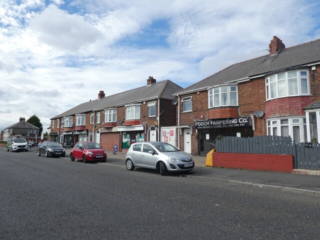
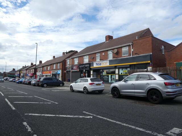
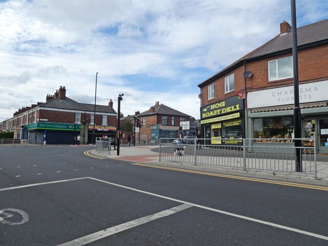
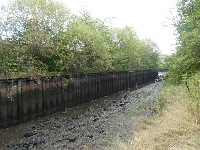
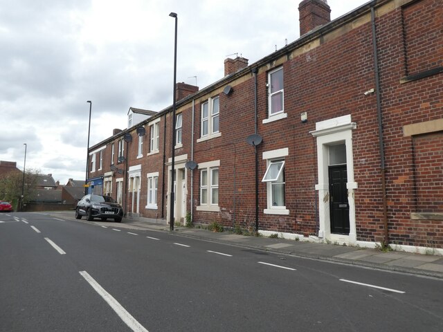
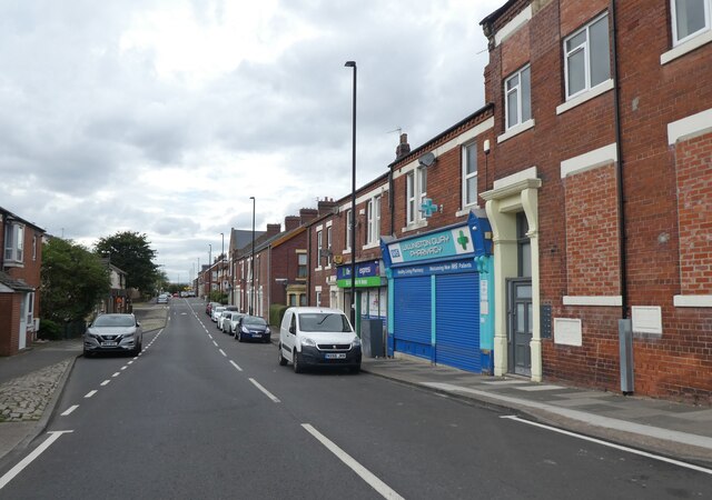
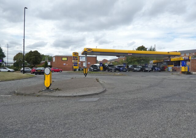
Howden on Tyne Images
Images are sourced within 2km of 54.987571/-1.5014537 or Grid Reference NZ3266. Thanks to Geograph Open Source API. All images are credited.


Howden on Tyne is located at Grid Ref: NZ3266 (Lat: 54.987571, Lng: -1.5014537)
Unitary Authority: North Tyneside
Police Authority: Northumbria
What 3 Words
///thin.last.caring. Near Jarrow, Tyne & Wear
Nearby Locations
Related Wikis

Willington Quay
Willington Quay is an area in the borough of North Tyneside in Tyne and Wear in northern England. It is on the north bank of the River Tyne, facing Jarrow...

Willington Quay railway station
Willington Quay was a railway station on the Riverside Branch, which ran between Byker and Willington Quay. The station served Willington Quay in North...
Point Pleasant railway station
Point Pleasant was a railway station on the Riverside Branch, which ran between Byker and Willington Quay. The station served Willington Quay in North...
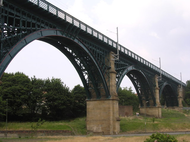
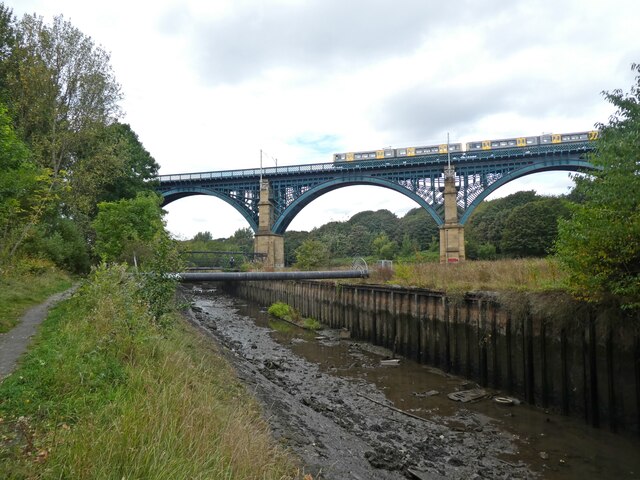
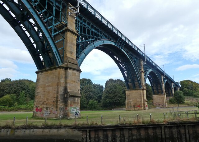
Willington Dene Viaduct
Willington Dene Viaduct carries the Tyne and Wear Metro railway over the Wallsend Burn between Wallsend and Howdon, Tyne and Wear. Designed by architects...

Jarrow Town Hall
Jarrow Town Hall is a municipal building in Grange Road, Jarrow, Tyne and Wear, England. The town hall, which was the headquarters of Jarrow Borough Council...

Jarrow March
The Jarrow March of 5–31 October 1936, also known as the Jarrow Crusade, was an organised protest against the unemployment and poverty suffered in the...

Jarrow
Jarrow ( or ) is a town in South Tyneside in the county of Tyne and Wear, England. It is on the south bank of the River Tyne, about 3 miles (4.8 km) from...

Tyne Tunnel
The Tyne Tunnel is the name given to two 2-lane vehicular toll tunnels under the River Tyne in North East England. Originally opened in 1967 and expanded...
Nearby Amenities
Located within 500m of 54.987571,-1.5014537Have you been to Howden on Tyne?
Leave your review of Howden on Tyne below (or comments, questions and feedback).