Horn Reach
Sea, Estuary, Creek in Hampshire New Forest
England
Horn Reach
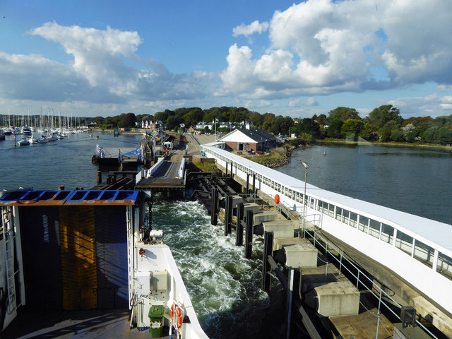
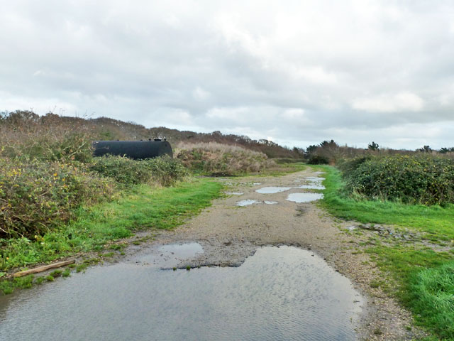
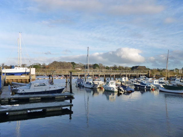
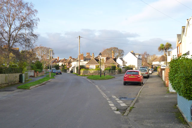
Horn Reach is a picturesque coastal area located in Hampshire, England. Situated on the south coast, it encompasses a sea, estuary, and creek, offering a diverse and vibrant natural environment. The area is renowned for its stunning scenery, making it a popular destination for both locals and tourists.
The sea at Horn Reach boasts crystal-clear waters and sandy beaches, perfect for swimming, sunbathing, and a variety of water sports. The coastline is dotted with charming seaside towns and villages, providing visitors with an array of shops, restaurants, and accommodations.
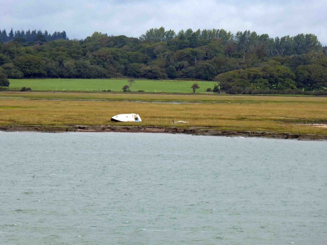
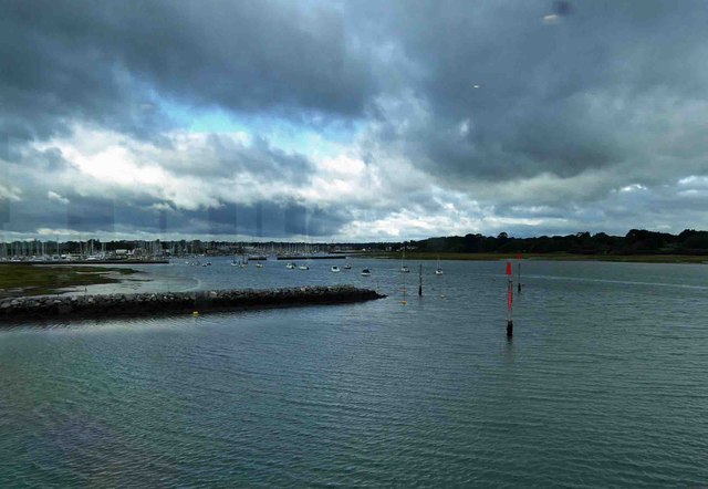
The estuary at Horn Reach is a tranquil and breathtaking sight. It is formed where a river meets the sea, creating a unique ecosystem that supports numerous species of birds, fish, and other marine life. Birdwatchers will be delighted by the opportunity to spot a wide range of waterfowl, waders, and migratory birds.
The creek at Horn Reach is a hidden gem, offering a peaceful and secluded escape from the busier coastal areas. Surrounded by lush greenery and abundant wildlife, it provides a tranquil setting for nature enthusiasts and those seeking a more off-the-beaten-path experience.
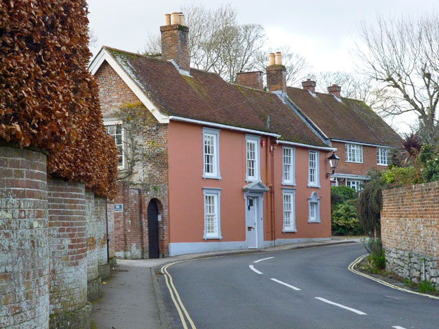
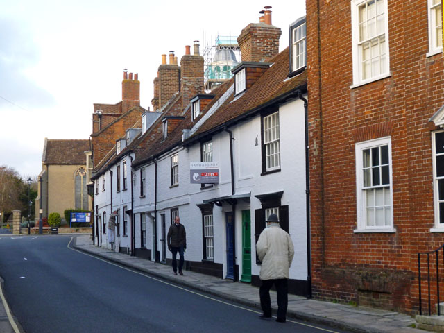
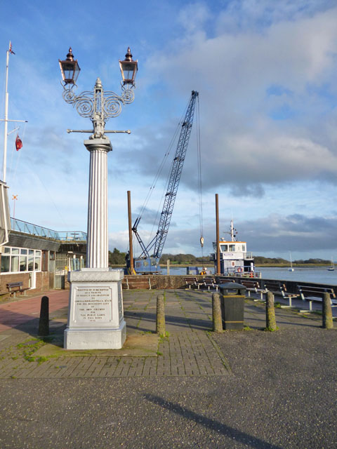
Horn Reach is not only a haven for nature lovers but also a place of historical significance. The area has a rich maritime heritage, with remnants of old shipyards and dockyards still visible. Visitors can explore museums and heritage sites to learn about the region's maritime past.
Overall, Horn Reach in Hampshire is a captivating destination that seamlessly blends natural beauty, recreational activities, and cultural attractions, making it a must-visit spot for anyone looking to experience the best of coastal England.
If you have any feedback on the listing, please let us know in the comments section below.
Horn Reach Images
Images are sourced within 2km of 50.754081/-1.5271501 or Grid Reference SZ3395. Thanks to Geograph Open Source API. All images are credited.


Horn Reach is located at Grid Ref: SZ3395 (Lat: 50.754081, Lng: -1.5271501)
Administrative County: Hampshire
District: New Forest
Police Authority: Hampshire
What 3 Words
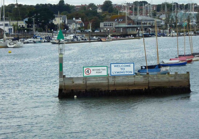
///reduction.sprayed.cages. Near Lymington, Hampshire
Nearby Locations
Related Wikis

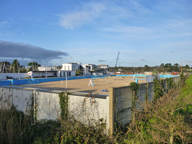
Lymington Open Air Sea Water Baths
The Lymington Open Air Sea Water Baths (or "historic Roman Seawater Baths") is a lifeguarded open air lido in Lymington, Hampshire, England. Built in 1833...
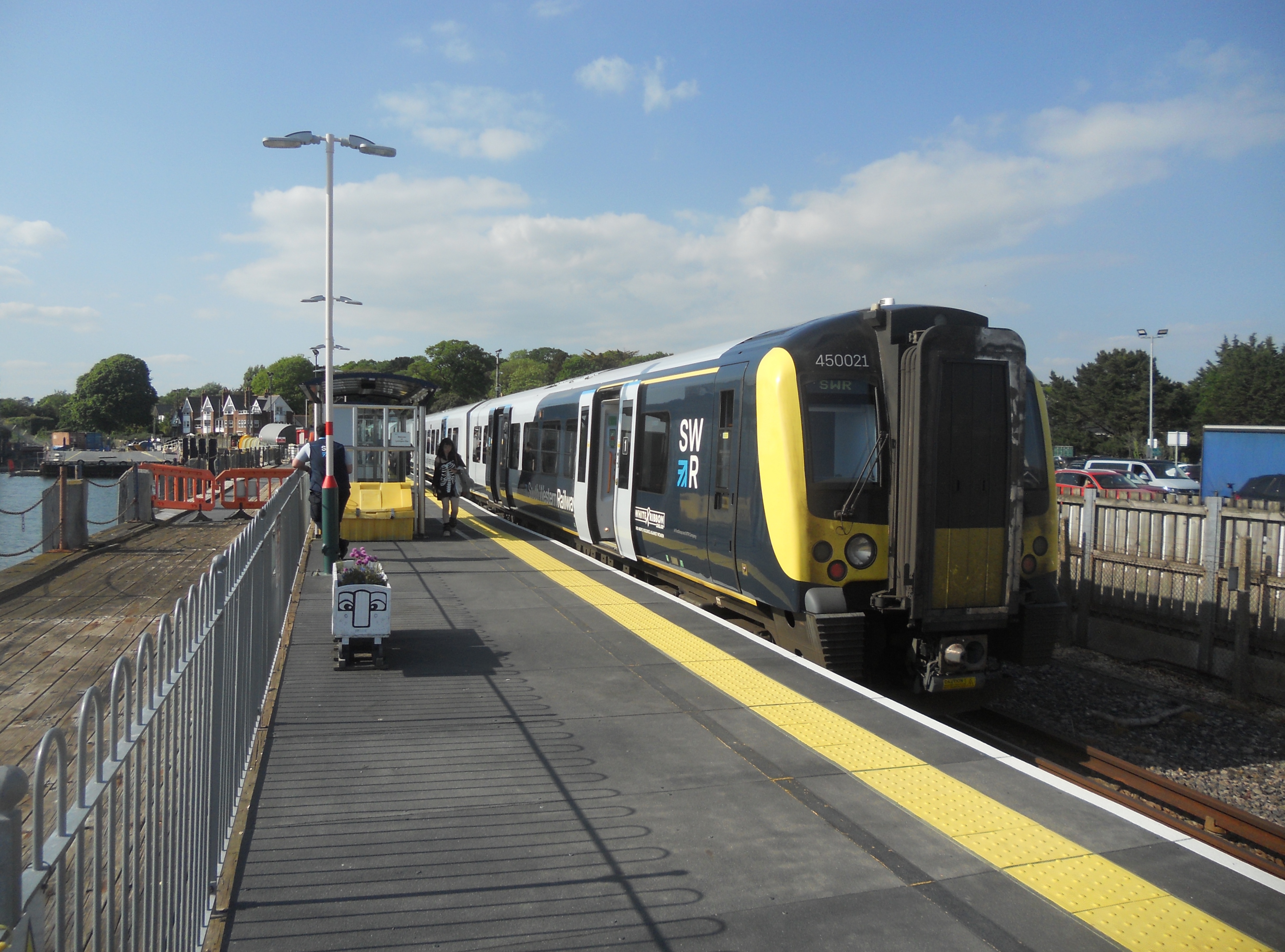
Lymington Pier railway station
Lymington Pier railway station serves the harbour area of Lymington in Hampshire, England. It is 98 miles 15 chains (158.0 km) measured from London Waterloo...

Lymington River
The Lymington River drains part of the New Forest in Hampshire in southern England. Numerous headwaters to the west of Lyndhurst give rise to the river...

Lymington power station
Lymington power station supplied electricity to the town of Lymington, Hampshire and the surrounding area from 1899 to 1959. The electricity generating...

Walhampton
Walhampton is a hamlet in the New Forest National Park of Hampshire, England. It is in the civil parish of Boldre. It is approximately half a mile east...

Lymington Town railway station
Lymington Town railway station serves the town of Lymington in Hampshire, England. It is 97 miles 57 chains (157.3 km) down the line from London Waterloo...

St Barbe Museum & Art Gallery
St Barbe Museum + Art Gallery is a local museum and art gallery in Lymington, Hampshire, England.Enclosed in the building is a small cafe called 'The Old...

Church of St Thomas the Apostle, Lymington
The Church of St Thomas the Apostle in Lymington in Hampshire, is the main Anglican Church of England parish church for the town. There has been a church...
Nearby Amenities
Located within 500m of 50.754081,-1.5271501Have you been to Horn Reach?
Leave your review of Horn Reach below (or comments, questions and feedback).