Eamont Bridge
Settlement in Westmorland Eden
England
Eamont Bridge
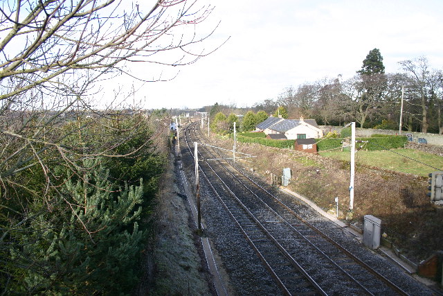
Eamont Bridge is a small village located in the county of Westmorland, in the North West of England. It lies on the banks of the River Eamont, which flows through the picturesque region of the Eden Valley. The village is situated approximately 2 miles south-east of the town of Penrith and 20 miles south-west of the city of Carlisle.
The main feature of Eamont Bridge is its historic bridge, which spans the River Eamont. The bridge is a Grade II listed structure and is believed to date back to the 18th century. It is a stone bridge with three arches and is known for its elegant design. The bridge provides a vital crossing point over the river and has been an important transportation route for centuries.
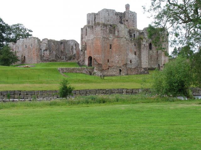
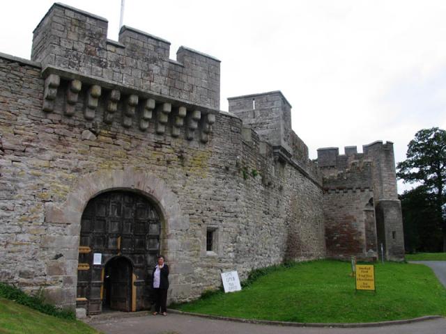
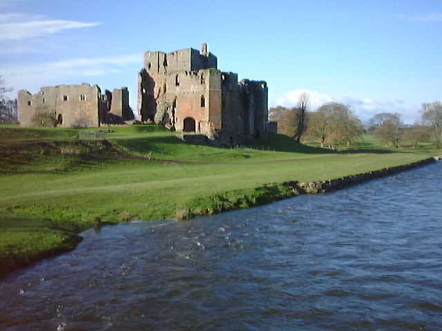
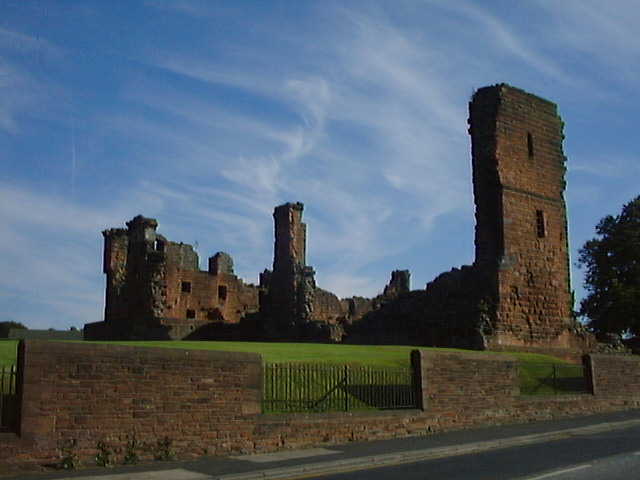
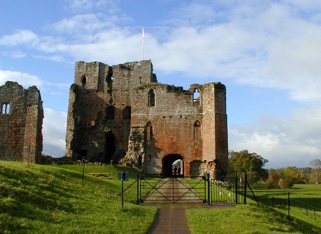
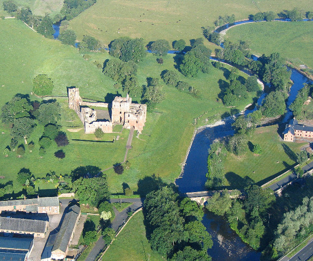
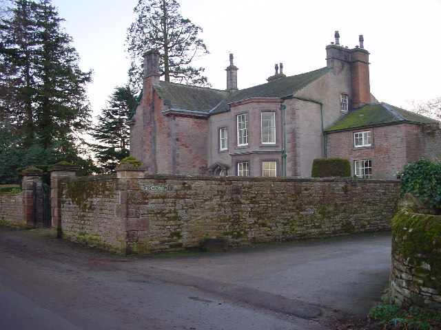
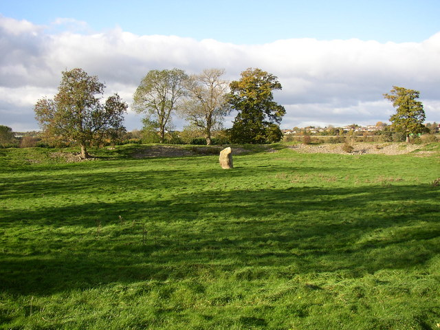
Eamont Bridge is also known for its proximity to several notable landmarks. Just a short distance away is the ancient monument of Mayburgh Henge, a prehistoric circular earthwork enclosure that dates back to the Bronze Age. Additionally, the village is located near to the ruins of Brougham Castle, a medieval fortress that was built in the 13th century.
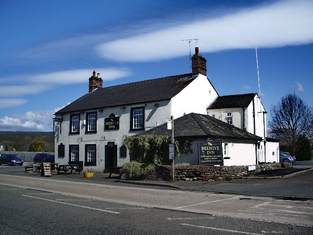
The village itself is small, with a few houses and amenities for the local community. It offers a peaceful and picturesque setting, with beautiful views of the surrounding countryside. Eamont Bridge is a popular destination for tourists and visitors who are drawn to its historic charm and natural beauty.
If you have any feedback on the listing, please let us know in the comments section below.
Eamont Bridge Images
Images are sourced within 2km of 54.650709/-2.739237 or Grid Reference NY5228. Thanks to Geograph Open Source API. All images are credited.

Eamont Bridge is located at Grid Ref: NY5228 (Lat: 54.650709, Lng: -2.739237)
Administrative County: Cumbria
District: Eden
Police Authority: Cumbria
What 3 Words
///skip.spout.named. Near Penrith, Cumbria
Nearby Locations
Related Wikis

Eamont Bridge (structure)
Eamont Bridge is a road bridge over the River Eamont, at the village of the same name, immediately to the south of Penrith, Cumbria, England. It is a scheduled...
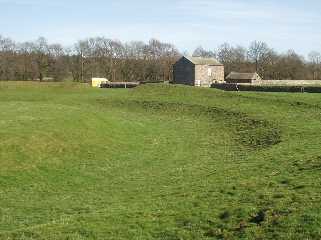
King Arthur's Round Table
King Arthur's Round Table is a Neolithic henge in the village of Eamont Bridge in the English county of Cumbria, around 2 kilometres (1 mi) south east...

Brougham Hall
Brougham Hall is a historic house museum located in the village of Brougham just outside Penrith, Cumbria, England. == History == The de Burgham family...
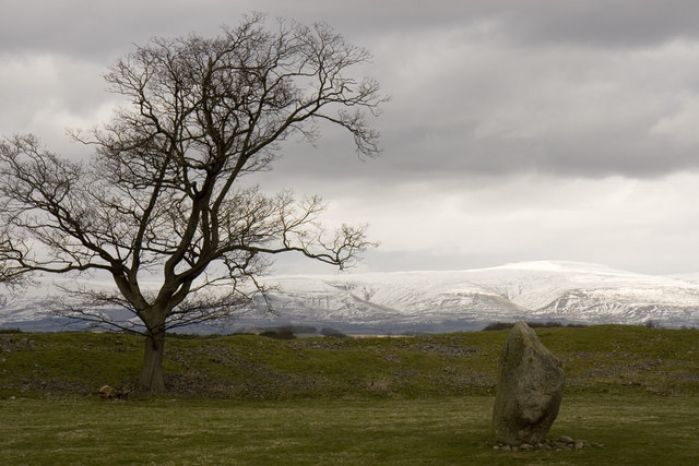
Mayburgh Henge
Mayburgh Henge is a large prehistoric monument in the county of Cumbria in northern England. The henge is in the care of English Heritage and is a Scheduled...
Eamont Bridge
Eamont Bridge is a small village immediately to the south of Penrith, Cumbria, England. The village is named after the bridge over the River Eamont and...
Yanwath and Eamont Bridge
Yanwath and Eamont Bridge is a civil parish in the Eden District of Cumbria, England, consisting of the small village of Yanwath and most of the neighbouring...

Ullswater Community College
Ullswater Community College (UCC) is a large mixed comprehensive school in Penrith, Cumbria. It currently has around 1550 students, including about 200...

Brougham, Cumbria
Brougham is a small village (or more properly a collection of hamlets) and civil parish on the outskirts of Penrith in the Eden District of Cumbria, England...
Nearby Amenities
Located within 500m of 54.650709,-2.739237Have you been to Eamont Bridge?
Leave your review of Eamont Bridge below (or comments, questions and feedback).