Eamont Lodge Wood
Wood, Forest in Westmorland Eden
England
Eamont Lodge Wood
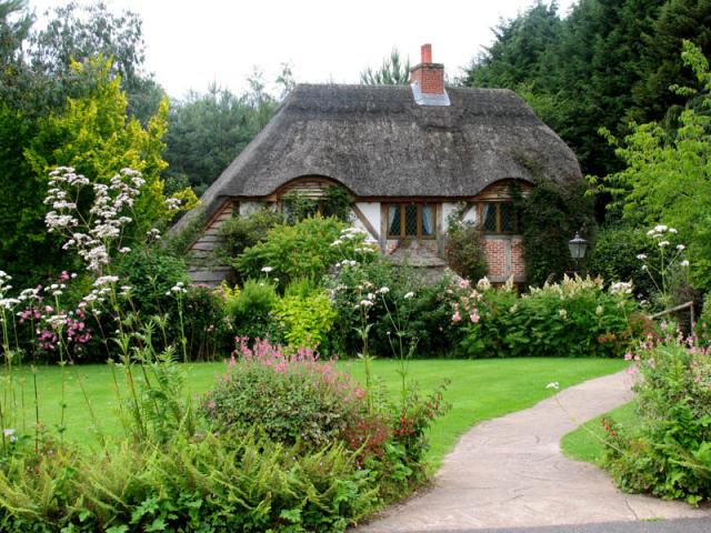
Eamont Lodge Wood is a picturesque woodland located in the county of Westmorland, England. Covering an area of approximately 100 acres, this enchanting forest offers a tranquil and serene escape for nature lovers and outdoor enthusiasts alike.
The wood is situated near the village of Eamont Bridge, just a few miles from the historic town of Penrith. It is easily accessible by car, with ample parking available nearby. The woodland is known for its diverse range of trees, including oak, beech, and birch, which provide a rich and vibrant canopy throughout the year.
Walking trails wind their way through the wood, allowing visitors to explore its natural beauty at their own pace. These well-maintained paths are suitable for all ages and abilities, making it an ideal destination for families and individuals seeking a leisurely stroll or a peaceful spot for a picnic.
The wood is also home to a variety of wildlife, including deer, squirrels, and a myriad of bird species. Nature enthusiasts will delight in the opportunity to observe these creatures in their natural habitat, as well as to discover the diverse flora and fauna that call Eamont Lodge Wood their home.
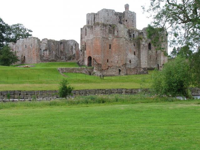
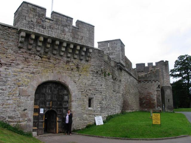
In addition to its natural splendor, Eamont Lodge Wood boasts a rich historical significance. The remains of a medieval lodge can still be seen within the woodland, adding an extra layer of intrigue and fascination for history buffs and archaeology enthusiasts.
Overall, Eamont Lodge Wood is a captivating destination that offers a blend of natural beauty, recreational activities, and historical charm. Whether you are seeking a peaceful escape, a family outing, or a chance to reconnect with nature, this woodland is sure to provide a memorable experience.
If you have any feedback on the listing, please let us know in the comments section below.
Eamont Lodge Wood Images
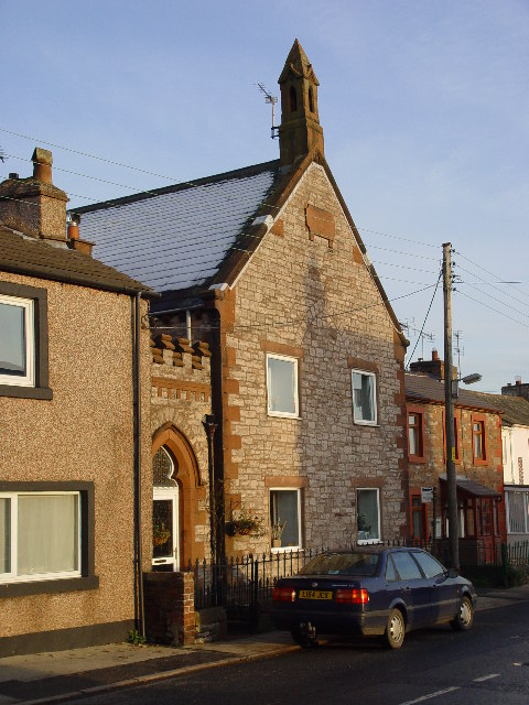
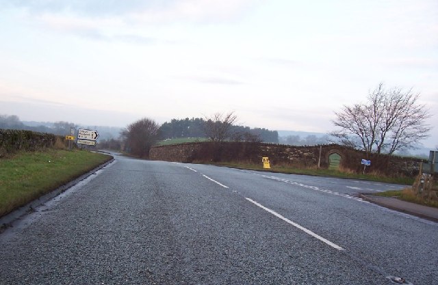
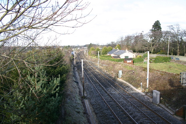
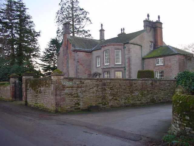
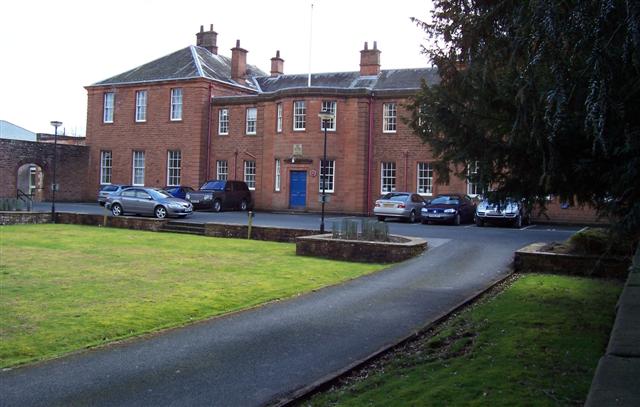
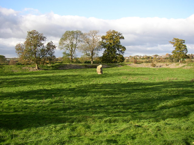
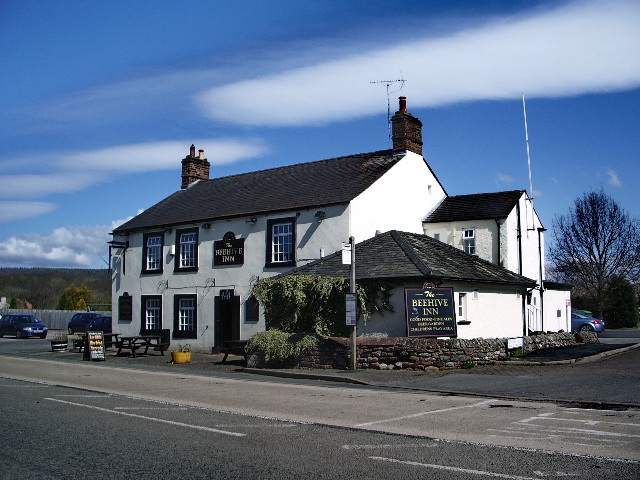
Images are sourced within 2km of 54.646107/-2.7393724 or Grid Reference NY5228. Thanks to Geograph Open Source API. All images are credited.


Eamont Lodge Wood is located at Grid Ref: NY5228 (Lat: 54.646107, Lng: -2.7393724)
Administrative County: Cumbria
District: Eden
Police Authority: Cumbria
What 3 Words
///cabbages.limbs.agenda. Near Penrith, Cumbria
Nearby Locations
Related Wikis

Eamont Bridge
Eamont Bridge is a small village immediately to the south of Penrith, Cumbria, England. The village is named after the bridge over the River Eamont and...
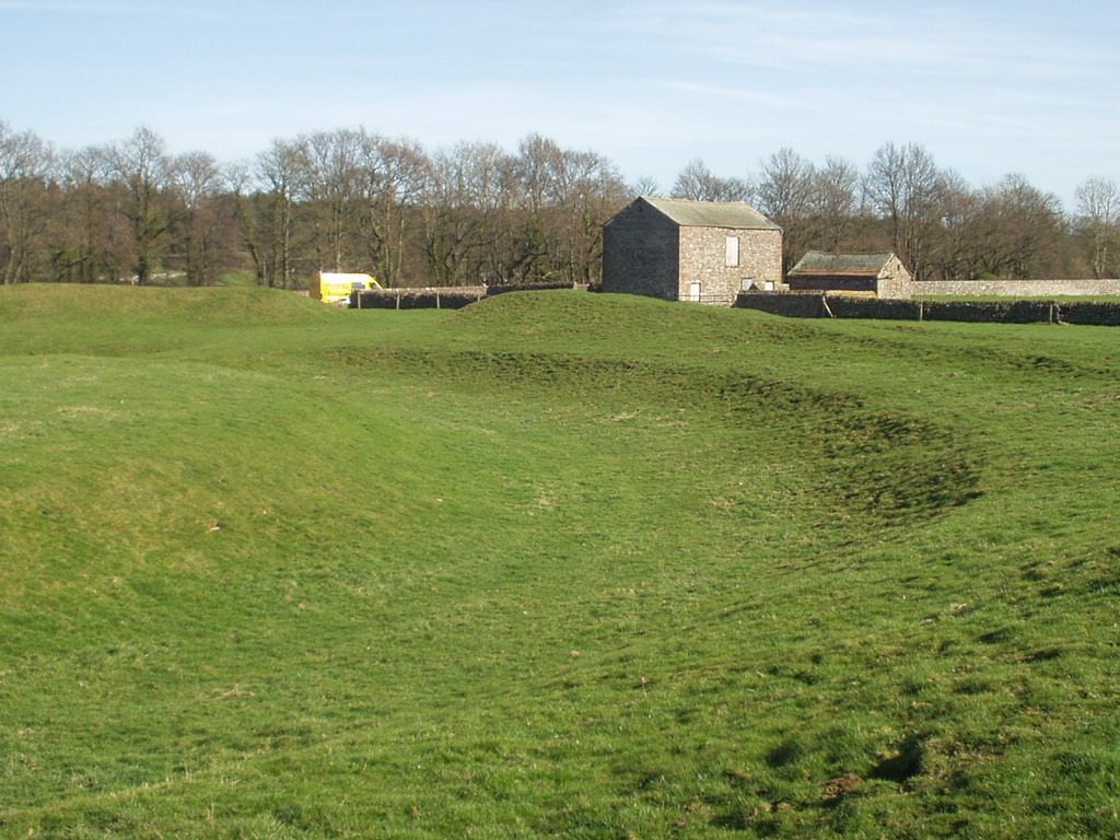
King Arthur's Round Table
King Arthur's Round Table is a Neolithic henge in the village of Eamont Bridge in the English county of Cumbria, around 2 kilometres (1 mi) south east...

Brougham Hall
Brougham Hall is a historic house museum located in the village of Brougham just outside Penrith, Cumbria, England. == History == The de Burgham family...
Yanwath and Eamont Bridge
Yanwath and Eamont Bridge is a civil parish in the Eden District of Cumbria, England, consisting of the small village of Yanwath and most of the neighbouring...
Nearby Amenities
Located within 500m of 54.646107,-2.7393724Have you been to Eamont Lodge Wood?
Leave your review of Eamont Lodge Wood below (or comments, questions and feedback).