Brougham
Settlement in Westmorland Eden
England
Brougham
Brougham is a small village located in the county of Cumbria, in the region of Westmorland, England. Situated on the eastern bank of the River Eamont, Brougham is known for its picturesque setting and rich historical heritage. The village is situated just two miles south-east of Penrith, making it easily accessible for both locals and tourists.
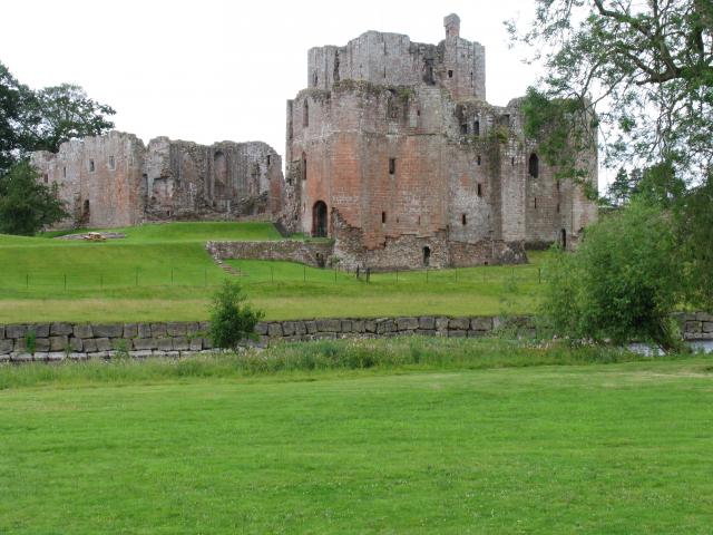
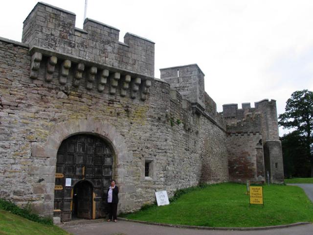
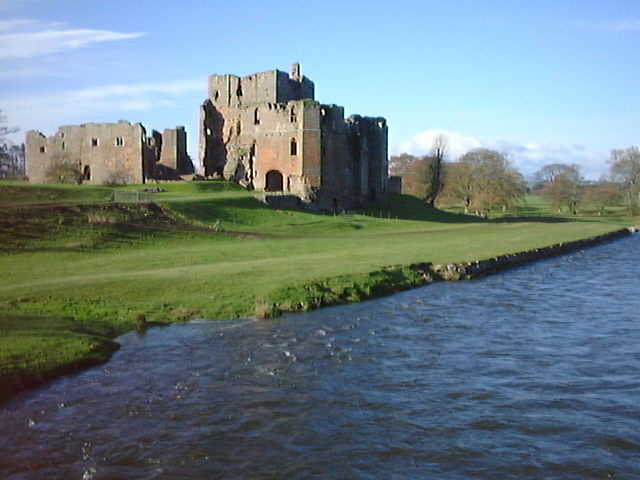
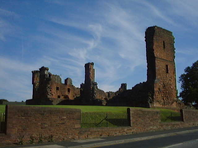
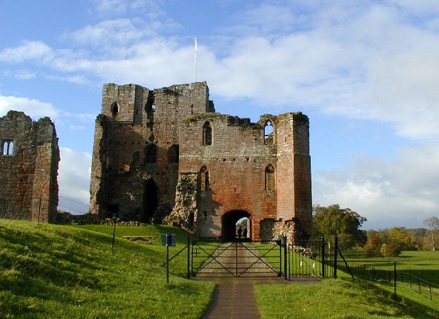
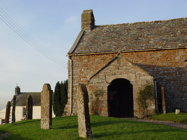
Brougham is most famous for Brougham Castle, a medieval fortress that dates back to the 13th century. The castle was originally built by Robert de Vieuxpont and played a significant role in the border conflicts between England and Scotland. Today, the castle stands as a well-preserved ruin and is open to the public, attracting history enthusiasts from around the world.
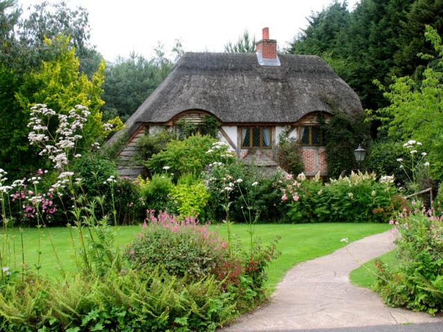
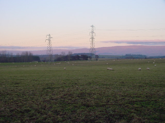
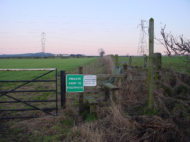
Aside from its castle, Brougham also boasts a charming countryside landscape, with rolling hills and scenic walks along the river. The village is surrounded by lush green fields and is a popular destination for those seeking a peaceful retreat away from the hustle and bustle of city life.
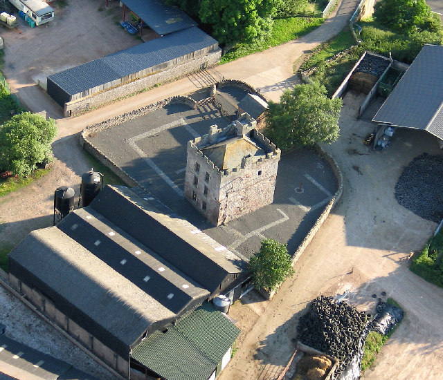
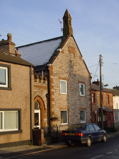
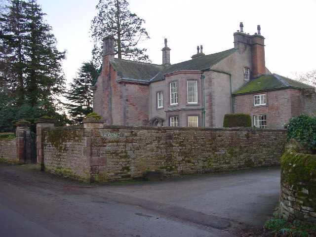
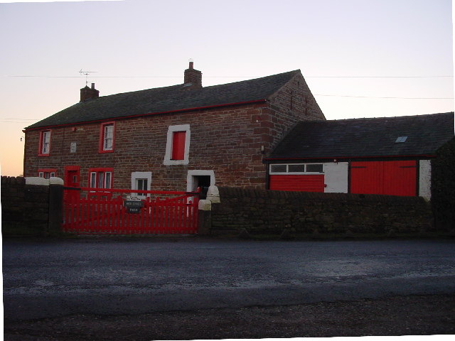
Brougham has a small population, with a tight-knit community that takes pride in preserving the village's traditional character. The village is home to a handful of historic buildings, including Brougham Hall, a 15th-century manor house that has been converted into a visitor center and hosts various events throughout the year.
Overall, Brougham, Westmorland offers visitors a glimpse into the past with its medieval castle and idyllic countryside, making it a must-visit destination for history enthusiasts and nature lovers alike.
If you have any feedback on the listing, please let us know in the comments section below.
Brougham Images
Images are sourced within 2km of 54.648157/-2.7319089 or Grid Reference NY5228. Thanks to Geograph Open Source API. All images are credited.

Brougham is located at Grid Ref: NY5228 (Lat: 54.648157, Lng: -2.7319089)
Administrative County: Cumbria
District: Eden
Police Authority: Cumbria
What 3 Words
///disco.explains.healthier. Near Penrith, Cumbria
Nearby Locations
Related Wikis

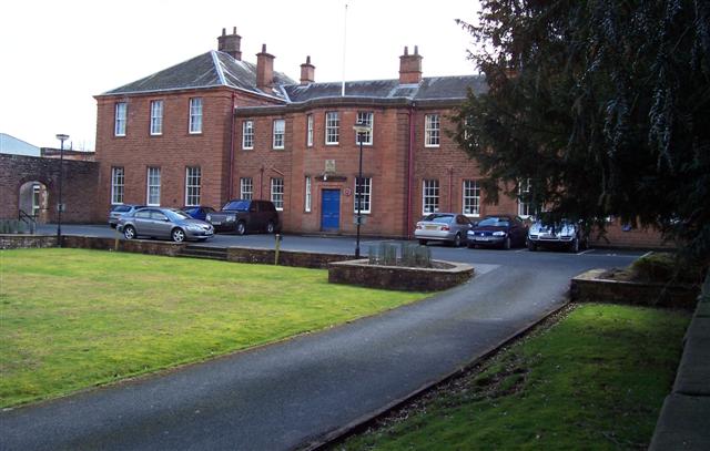
Brougham Hall
Brougham Hall is a historic house museum located in the village of Brougham just outside Penrith, Cumbria, England. == History == The de Burgham family...

Eamont Bridge
Eamont Bridge is a small village immediately to the south of Penrith, Cumbria, England. The village is named after the bridge over the River Eamont and...
King Arthur's Round Table
King Arthur's Round Table is a Neolithic henge in the village of Eamont Bridge in the English county of Cumbria, around 2 kilometres (1 mi) south east...

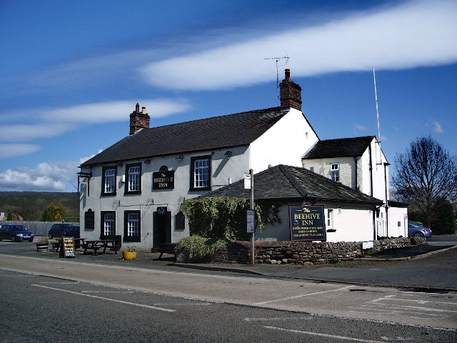
Brougham, Cumbria
Brougham is a small village (or more properly a collection of hamlets) and civil parish on the outskirts of Penrith in the Eden District of Cumbria, England...
Eamont Bridge (structure)
Eamont Bridge is a road bridge over the River Eamont, at the village of the same name, immediately to the south of Penrith, Cumbria, England. It is a scheduled...
Yanwath and Eamont Bridge
Yanwath and Eamont Bridge is a civil parish in the Eden District of Cumbria, England, consisting of the small village of Yanwath and most of the neighbouring...
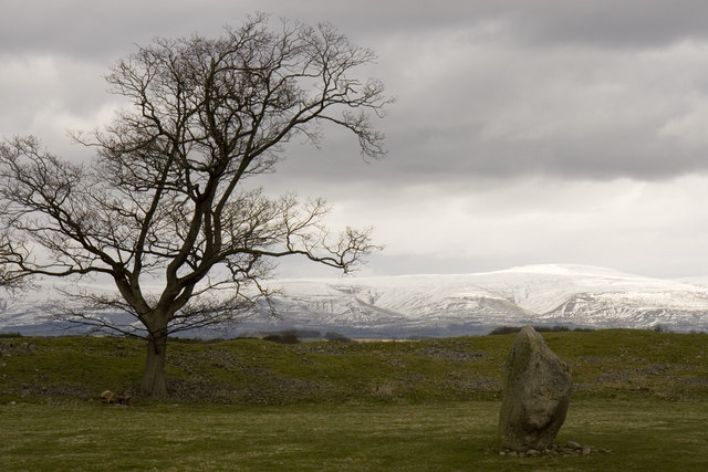
Mayburgh Henge
Mayburgh Henge is a large prehistoric monument in the county of Cumbria in northern England. The henge is in the care of English Heritage and is a Scheduled...

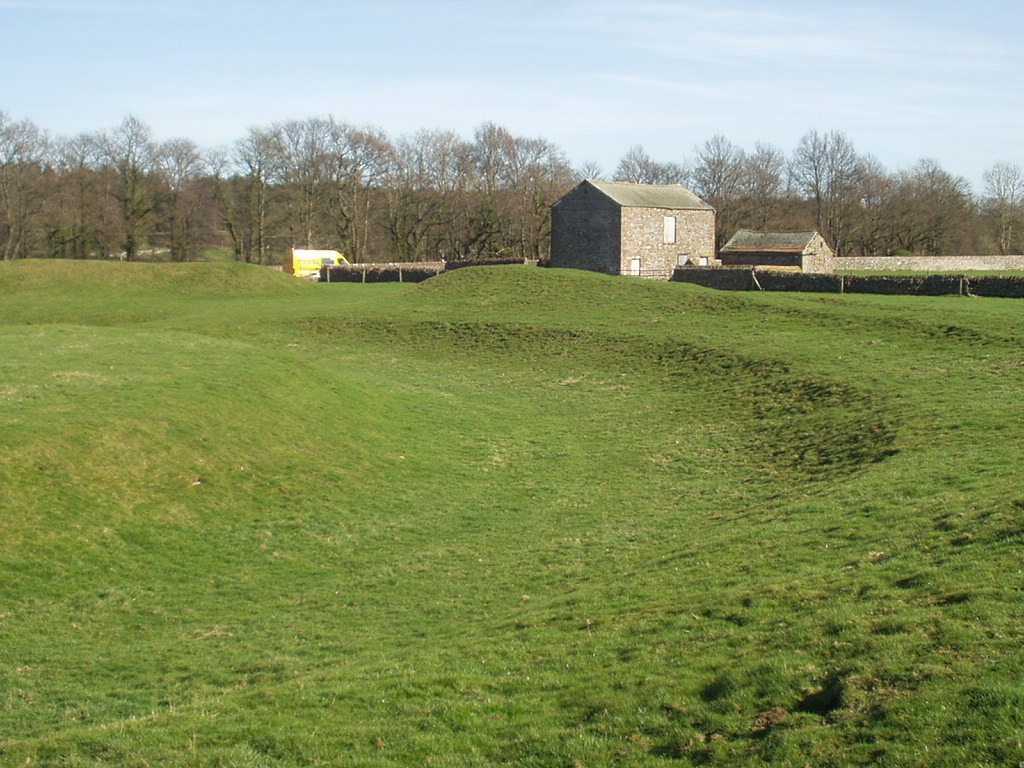
Brocavum
Brocavum is the Latin name of a Roman fort at Brougham near Penrith, Cumbria. The fort survives as earthworks, but no excavation of these has been carried...
Related Videos

Walk in Penrith | England countryside | North Lake District. 4K
Amazing Walk In Penrith - North lake district in north England . 4K walking tour video in England. Thanks for watching and sharing ...

Penrith, Cumbria: No talking just walking. #Penrith #Cumbria
Video recorded Wednesday 19th July, 2023 by Luke Honeythunder in Penrith, Cumbria, England, UK. Lunch was a delicious ...

Where giants are buried | Penrith Cumbria | UK walking tour
A peaceful and relaxing walk in the snow in the market town of Penrith in Cumbria, in the north of England - home of the giant's ...

Nearby Amenities
Located within 500m of 54.648157,-2.7319089Have you been to Brougham?
Leave your review of Brougham below (or comments, questions and feedback).