Eals
Settlement in Northumberland
England
Eals

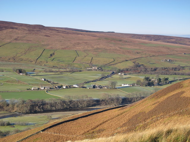
Eals is a small village located in the county of Northumberland, in the northeast of England. Situated near the border with Scotland, it is part of the civil parish of Simonburn. Eals is nestled in the picturesque countryside, surrounded by rolling hills and scenic landscapes.
The village is known for its rich history, dating back to medieval times. It is home to several historical landmarks, including the Grade I listed Eals House, a grand country mansion built in the 17th century. The house boasts stunning architecture and is surrounded by well-maintained gardens, offering a glimpse into the area's past.
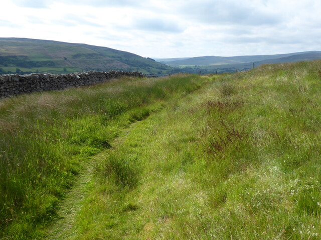
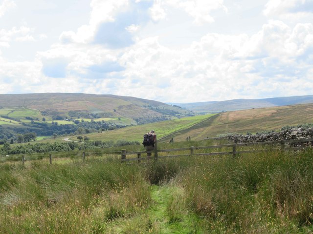
Eals is also renowned for its peaceful atmosphere and tranquil surroundings, making it an ideal destination for those seeking a serene getaway. The village is surrounded by vast green fields and meadows, perfect for leisurely walks and enjoying the natural beauty of the area.
Despite its small size, Eals provides essential amenities to its residents and visitors. The village has a local pub, offering a warm and friendly atmosphere, as well as a sense of community. It also benefits from its proximity to nearby towns and villages, where additional services and facilities can be found.
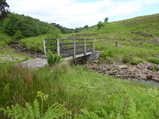
For outdoor enthusiasts, Eals offers plenty of opportunities for outdoor activities. The surrounding area is ideal for hiking, cycling, and horse riding, with various trails and pathways to explore. Additionally, the nearby River Tyne provides the perfect setting for fishing and boating enthusiasts.
In summary, Eals is a charming village in Northumberland, offering a peaceful and historic setting, surrounded by stunning natural landscapes. It is an idyllic destination for those seeking a retreat from the hustle and bustle of city life.
If you have any feedback on the listing, please let us know in the comments section below.
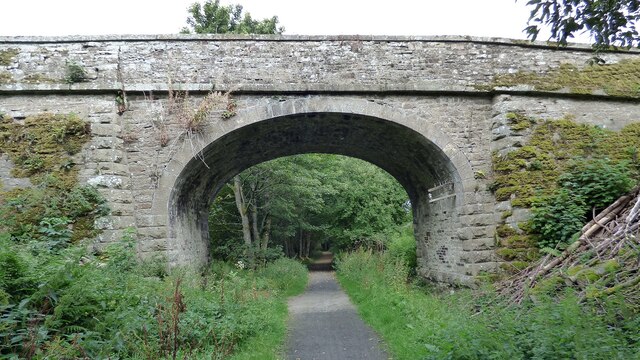
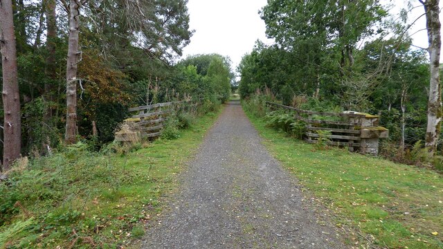
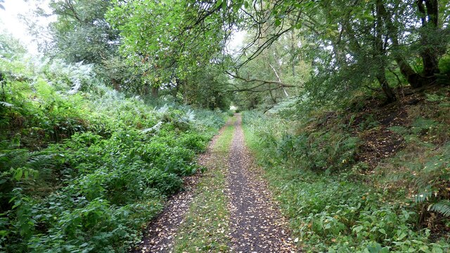
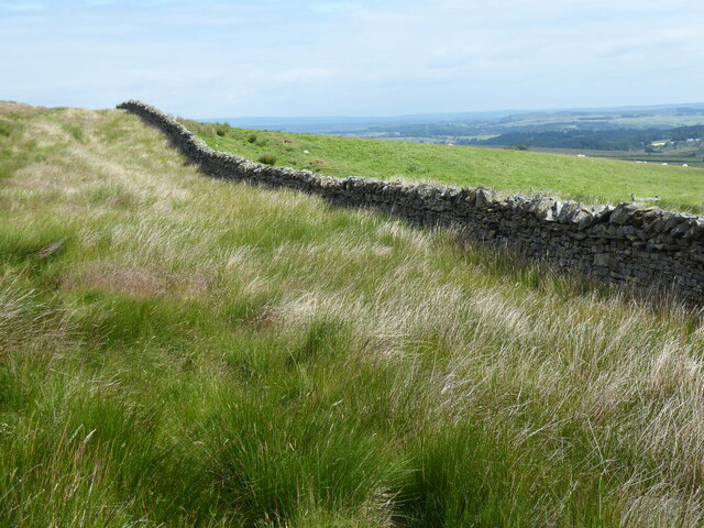
Eals Images
Images are sourced within 2km of 54.896542/-2.502669 or Grid Reference NY6755. Thanks to Geograph Open Source API. All images are credited.


Eals is located at Grid Ref: NY6755 (Lat: 54.896542, Lng: -2.502669)
Unitary Authority: Northumberland
Police Authority: Northumbria
What 3 Words
///sounds.snipped.reception. Near Greenhead, Northumberland
Nearby Locations
Related Wikis

Lambley railway station
Lambley was a railway station on the Alston Branch Line, which ran between Haltwhistle and Alston. The station, situated 4+3⁄4 miles (8 km) south-west...
Knarsdale
Knarsdale, historically Knaresdale, is a village and former civil parish, now in the parish of Knaresdale with Kirkhaugh, in Northumberland, England about...

Lambley, Northumberland
Lambley, formerly known as Harper Town, is a village and former civil parish, now in the parish of Coanwood, in Northumberland, England about four miles...

Coanwood railway station
Coanwood was a railway station on the Alston Branch Line, which ran between Haltwhistle and Alston. The station, situated 4 miles (6 km) south-west of...
Nearby Amenities
Located within 500m of 54.896542,-2.502669Have you been to Eals?
Leave your review of Eals below (or comments, questions and feedback).