Maiden Way
Heritage Site in Northumberland
England
Maiden Way
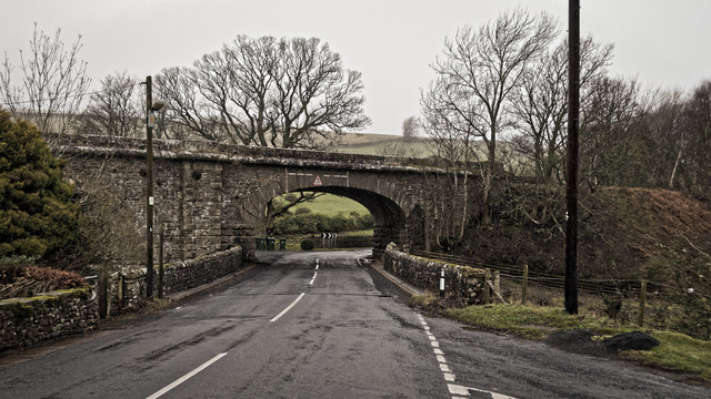
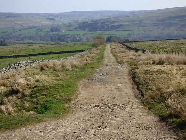
Maiden Way is a historic site located in Northumberland, England, known for its significant cultural and historical importance. This ancient trackway dates back to Roman times and has served as a strategic route, connecting important towns and settlements in the region for centuries.
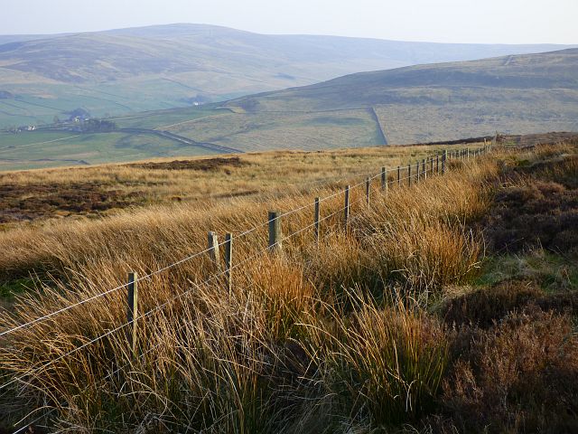
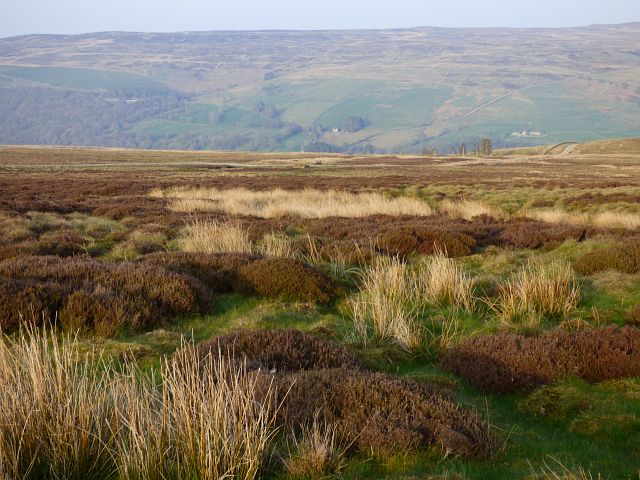
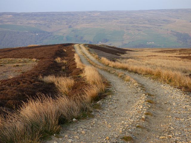
The Maiden Way stretches approximately 35 miles, starting from the Roman fort of Carvoran near Hadrian's Wall, and running southwest towards the River Tees. This well-preserved route offers a glimpse into the Roman Empire's infrastructure and military capabilities, showcasing their ability to construct enduring roads that have stood the test of time.
The trackway itself is around 20 feet wide and features a distinctive straight path, punctuated by several ditches and drainage features. These engineering marvels highlight the Romans' advanced knowledge in road construction, ensuring the longevity and functionality of their transportation network.
Maiden Way's strategic significance during Roman times cannot be overstated. It provided a vital link between the northern frontier of Hadrian's Wall and the forts in the Pennines, facilitating the movement of troops, supplies, and communication. The route also played a crucial role in trade and commerce, connecting various settlements and enabling economic activity in the region.
Today, Maiden Way stands as a testament to the Romans' engineering prowess and their enduring impact on the landscape of Northumberland. It attracts history enthusiasts, archaeologists, and tourists alike, offering a unique opportunity to experience and appreciate this remarkable piece of ancient history.
If you have any feedback on the listing, please let us know in the comments section below.
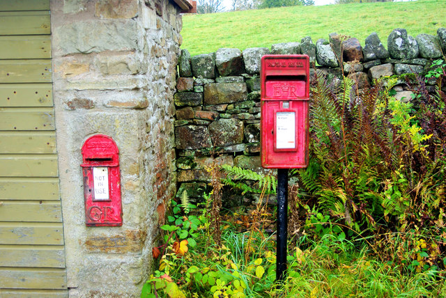
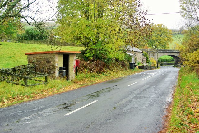
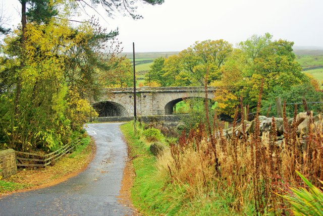
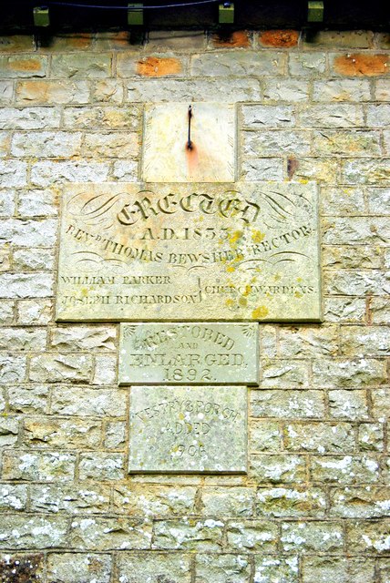
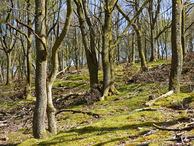
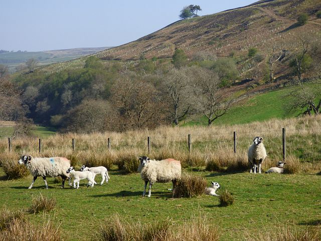
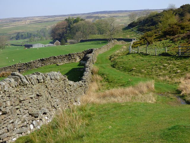
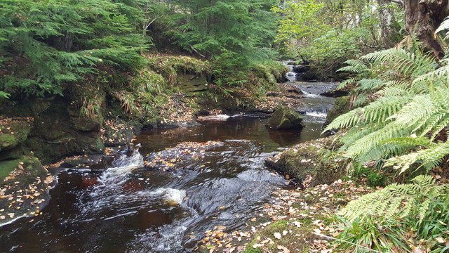
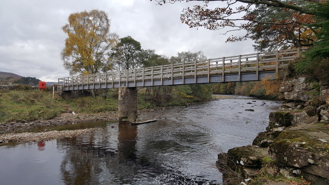
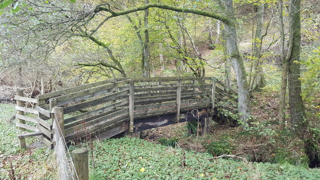
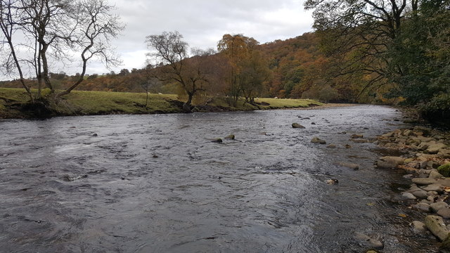
Maiden Way Images
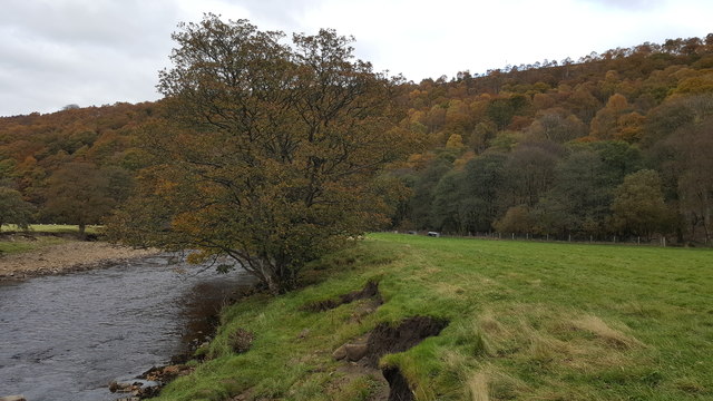
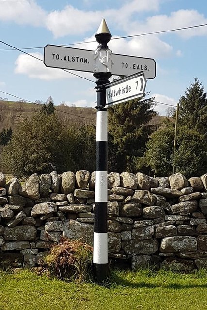
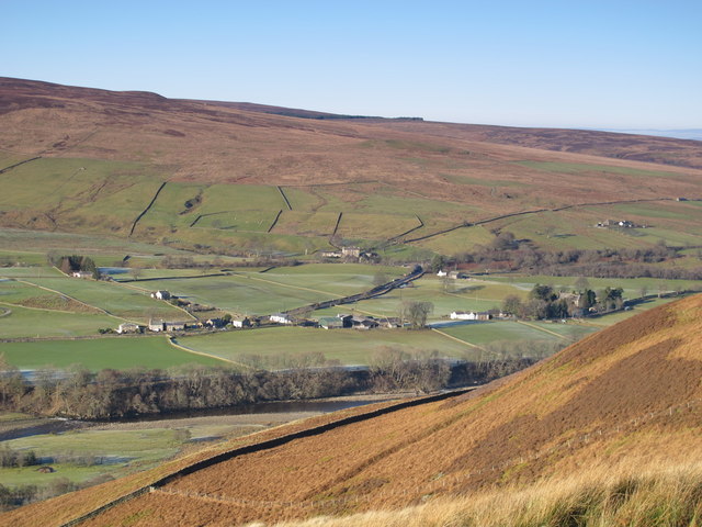
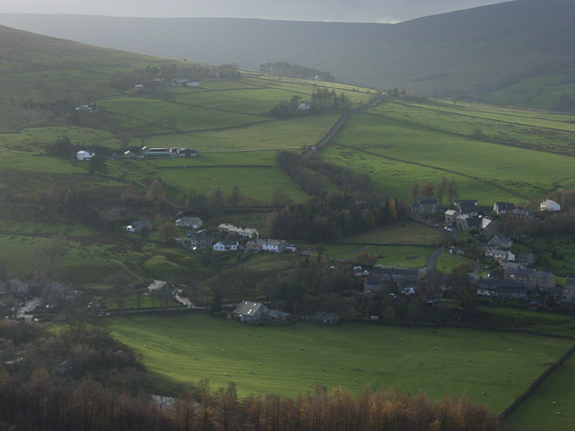
Images are sourced within 2km of 54.893/-2.507 or Grid Reference NY6755. Thanks to Geograph Open Source API. All images are credited.
Maiden Way is located at Grid Ref: NY6755 (Lat: 54.893, Lng: -2.507)
Unitary Authority: Northumberland
Police Authority: Northumbria
What 3 Words
///dribble.hillsides.rescue. Near Greenhead, Northumberland
Nearby Locations
Related Wikis
Knarsdale
Knarsdale, historically Knaresdale, is a village and former civil parish, now in the parish of Knaresdale with Kirkhaugh, in Northumberland, England about...

Lambley railway station
Lambley was a railway station on the Alston Branch Line, which ran between Haltwhistle and Alston. The station, situated 4+3⁄4 miles (8 km) south-west...

Aules Hill Meadows
Aules Hill Meadows is the name given to a Site of Special Scientific Interest (SSSI) in Northumberland, England. The site, listed since 1992, is a set...

Lambley, Northumberland
Lambley, formerly known as Harper Town, is a village and former civil parish, now in the parish of Coanwood, in Northumberland, England about four miles...
Slaggyford
Slaggyford is a village in the civil parish of Knaresdale with Kirkhaugh, in Northumberland, England about 5 miles (8 km) north of Alston, Cumbria. It...

Slaggyford railway station
Slaggyford was a railway station on the Alston Line, which ran between Haltwhistle and Alston. The station served the village of Slaggyford in Northumberland...

Coanwood railway station
Coanwood was a railway station on the Alston Branch Line, which ran between Haltwhistle and Alston. The station, situated 4 miles (6 km) south-west of...

Coanwood
Coanwood is a village in Northumberland, England, and is part of the Parish of Haltwhistle. It is about four miles (6 km) to the south-west of Haltwhistle...
Nearby Amenities
Located within 500m of 54.893,-2.507Have you been to Maiden Way ?
Leave your review of Maiden Way below (or comments, questions and feedback).