Broad Oak
Wood, Forest in Hampshire New Forest
England
Broad Oak
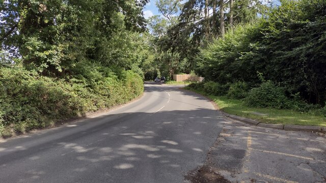
Broad Oak is a small village located in the county of Hampshire, England. Situated in the heart of the Hampshire countryside, Broad Oak is known for its picturesque woodlands and tranquil atmosphere. The village is nestled within a forest, surrounded by lush greenery and tall, majestic trees that provide a sense of peace and seclusion.
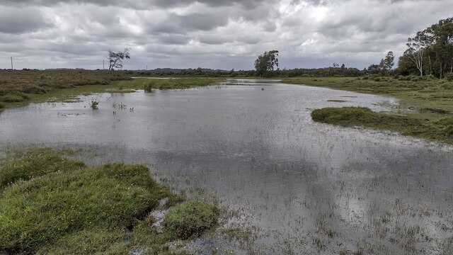
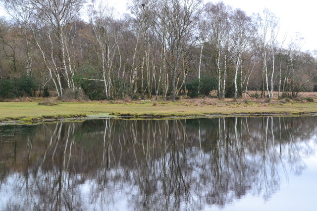
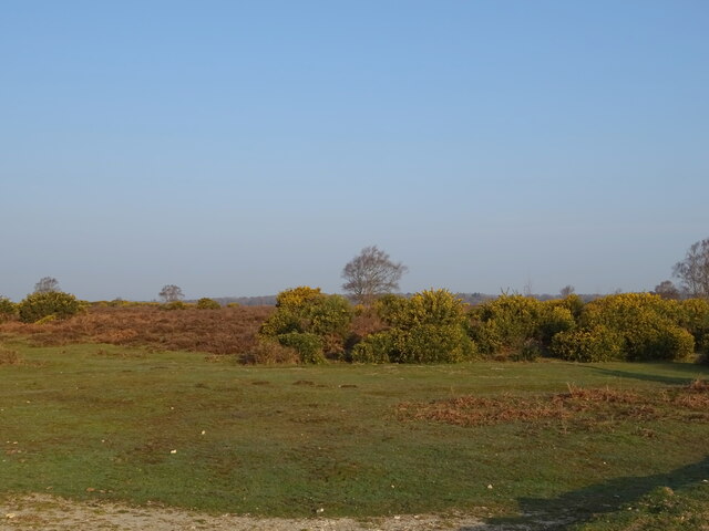
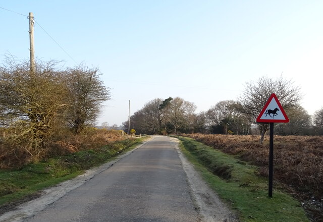
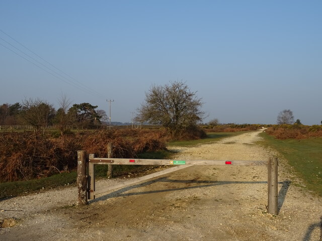
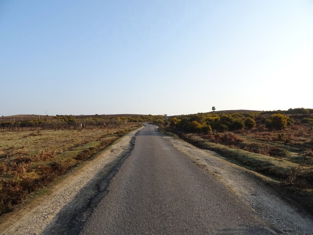
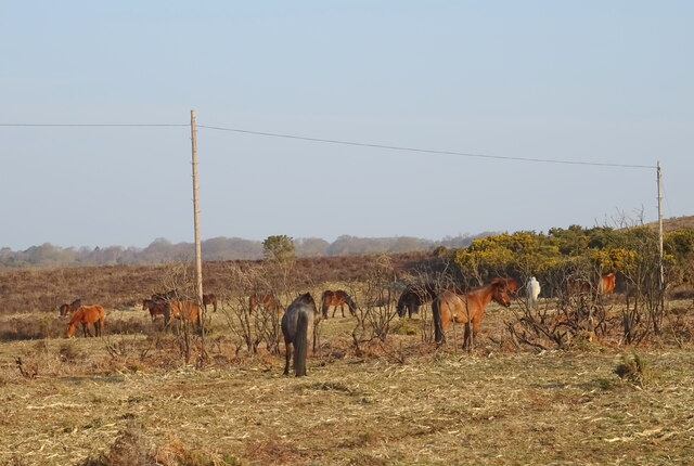
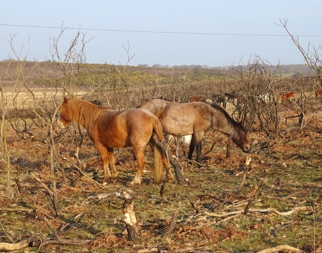
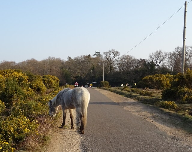
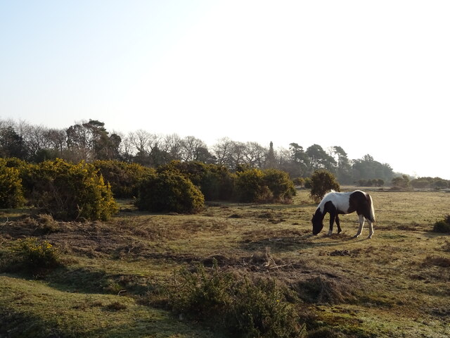
Broad Oak is a popular destination for nature lovers and outdoor enthusiasts. The forest offers a range of walking trails and cycling routes, allowing visitors to explore the stunning natural surroundings. The woodlands are home to a diverse range of wildlife, including deer, foxes, and a variety of bird species, making it a haven for wildlife enthusiasts and birdwatchers.
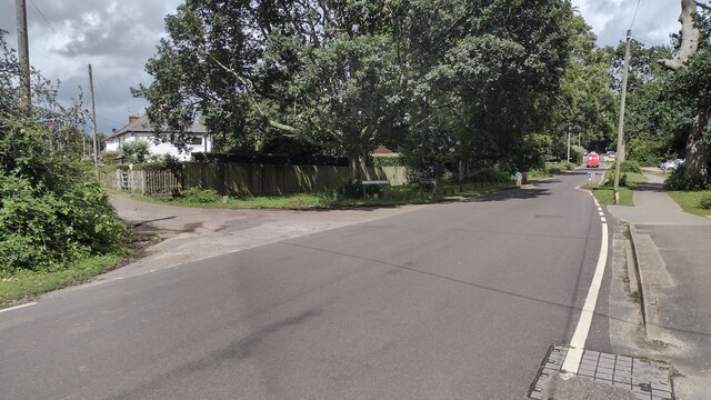
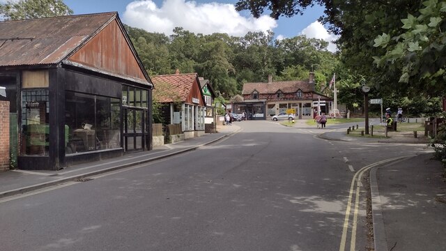
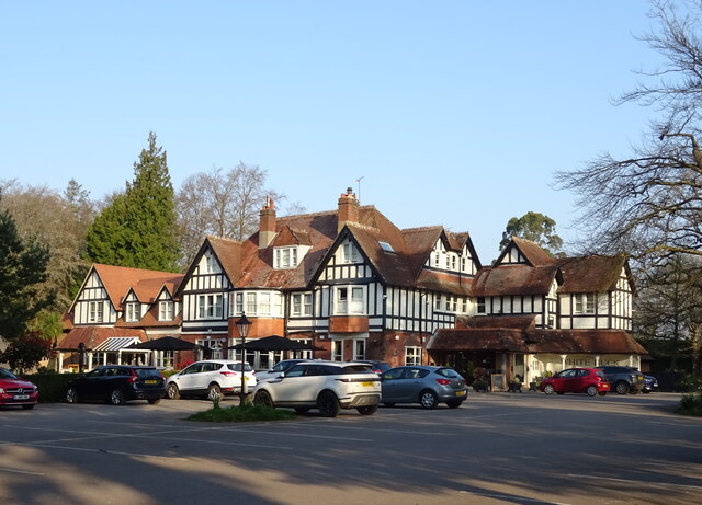
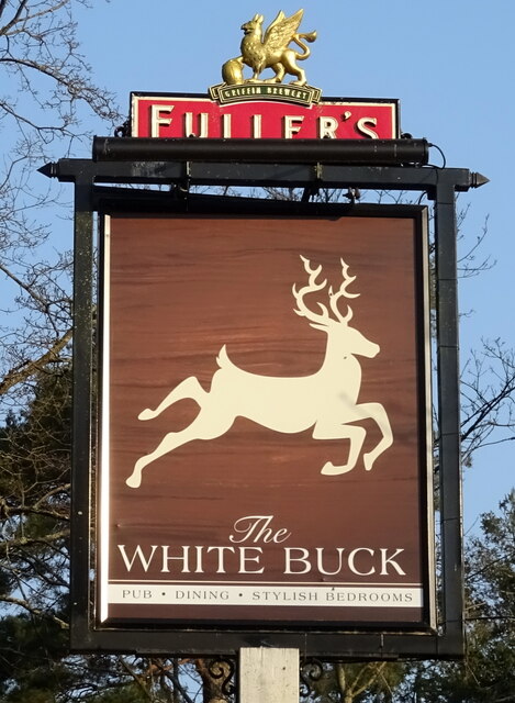
The village itself is small but charming, with a close-knit community that prides itself on its rural heritage. Traditional cottages and farmhouses dot the landscape, giving the village a quaint and timeless feel. The village also has a local pub, which serves as a gathering place for residents and visitors alike.
Broad Oak is conveniently located near several other attractions in Hampshire. The historic city of Winchester is just a short drive away, offering a wealth of cultural and historical sites to explore. Additionally, the South Downs National Park is within easy reach, providing even more opportunities for outdoor activities and scenic walks.
Overall, Broad Oak offers a true escape from the hustle and bustle of city life. Its beautiful woodlands, charming village, and proximity to other attractions make it an ideal destination for those seeking tranquility and natural beauty.
If you have any feedback on the listing, please let us know in the comments section below.
Broad Oak Images
Images are sourced within 2km of 50.822832/-1.6918638 or Grid Reference SU2102. Thanks to Geograph Open Source API. All images are credited.
Broad Oak is located at Grid Ref: SU2102 (Lat: 50.822832, Lng: -1.6918638)
Administrative County: Hampshire
District: New Forest
Police Authority: Hampshire
What 3 Words
///coast.tissue.earlobe. Near Burley, Hampshire
Nearby Locations
Related Wikis

Burley, Hampshire
Burley is a village and civil parish in the New Forest, Hampshire, England. It has ancient origins and is now somewhat tourist-orientated. == The village... ==

Castle Hill, Hampshire
Castle Hill is the site of an Iron Age univallate hillfort located in the civil parish of Burley in the New Forest national park in Hampshire, England...

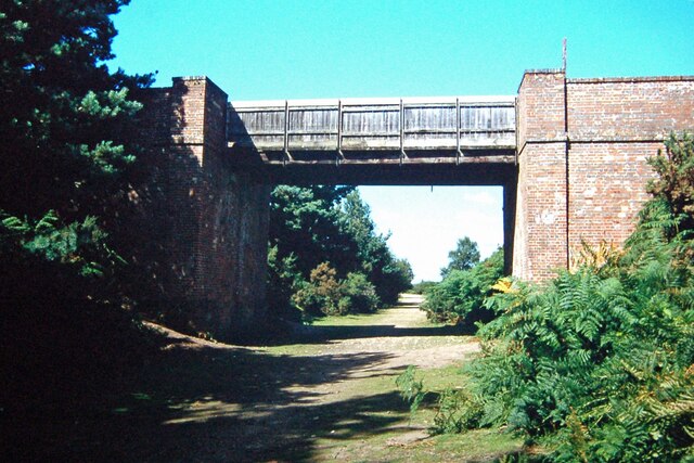
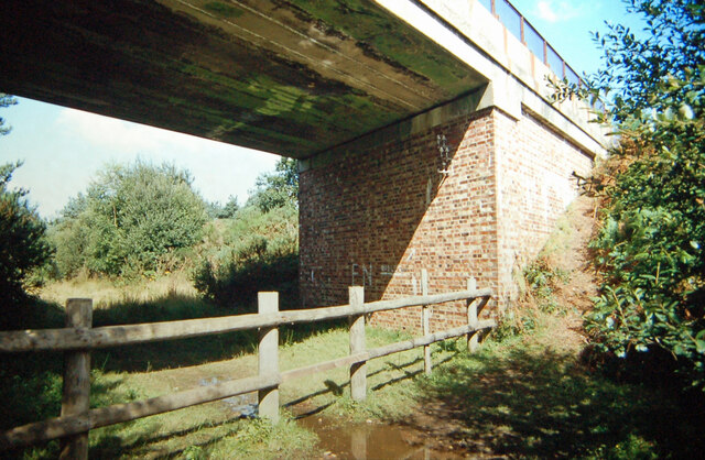
Holmsley railway station
Holmsley is a closed railway station in the county of Hampshire which served rural settlements in the New Forest. == History == The station was opened...

All Saints' Church, Thorney Hill
All Saints' Church is a Church of England church in Thorney Hill, Hampshire, England. It was built in 1905–06 and has been a Grade I listed building since...

RAF Holmsley South
Royal Air Force Holmsley South or more simply RAF Holmsley South is a former Royal Air Force station in Hampshire, England. The airfield is located approximately...

Avon Tyrrell House
Avon Tyrrell is an historic manor within the parish of Sopley, Hampshire. It is situated within the New Forest, near Christchurch. The present manor house...

Picket Post
Picket Post is a road junction and service area in the New Forest National Park of Hampshire, England. It lies on the A31 road. == Facilities == Picket...

Bagnum
Bagnum is a hamlet in the English county of Hampshire. The settlement is within the civil parish of Ringwood (where the 2011 Census was included), and...
Nearby Amenities
Located within 500m of 50.822832,-1.6918638Have you been to Broad Oak?
Leave your review of Broad Oak below (or comments, questions and feedback).