Pigsty Hill

Hill, Mountain in Hampshire New Forest

England

Pigsty Hill

Greenberry Bridge Greenberry Bridge spanned the old LSWR main line between Holmsley and Ringwood.  It survived the line's closure, but was demolished when it became unsafe in 1995.  The trackbed is part of the Castleman Trail, well used by walkers and riders.
Greenberry Bridge Credit: Bob Walters

Pigsty Hill is a small hill located in Hampshire, a county in southern England. Situated near the village of Liss, it is part of the South Downs National Park, known for its picturesque landscapes and rolling hills. Despite its name, Pigsty Hill is not a mountain but rather a modest hill with an elevation of around 207 meters (679 feet) above sea level.

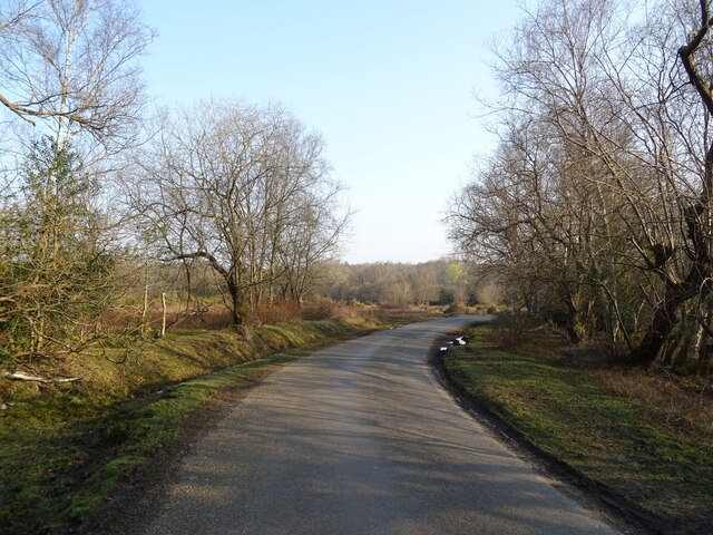
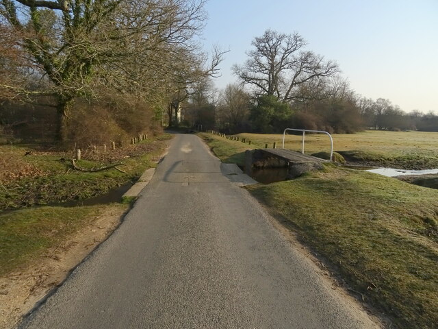
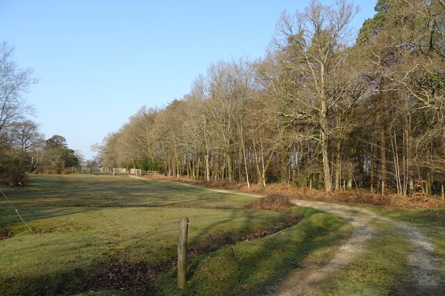
The hill is covered in lush greenery, featuring a mix of grassy slopes and dense woodlands. It offers stunning panoramic views of the surrounding countryside, including the nearby towns of Petersfield and Liphook. The area is popular among hikers, nature enthusiasts, and photographers due to its scenic beauty and tranquil atmosphere.

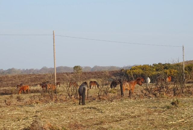
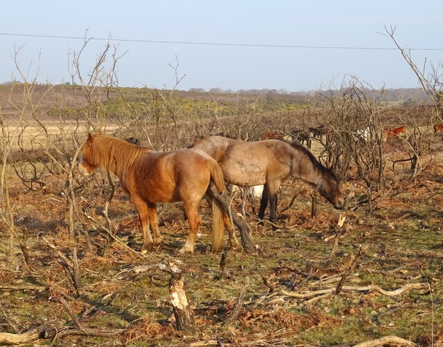
Pigsty Hill is home to a diverse range of wildlife, including various bird species, small mammals, and insects. It provides a habitat for many indigenous plants and flowers, adding to its natural charm. The hill is also known for its ancient history, with archaeological evidence suggesting human activity in the area dating back thousands of years.

Visitors to Pigsty Hill can enjoy exploring its numerous walking trails, which provide opportunities for gentle strolls or more challenging hikes. The hill is easily accessible, with nearby parking facilities and well-maintained paths. Picnic areas are available, allowing visitors to relax and soak in the serene surroundings.

Overall, Pigsty Hill offers a delightful escape into nature, showcasing the beauty of Hampshire's countryside and providing a peaceful retreat for both locals and tourists alike.

If you have any feedback on the listing, please let us know in the comments section below.
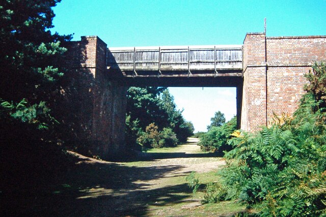
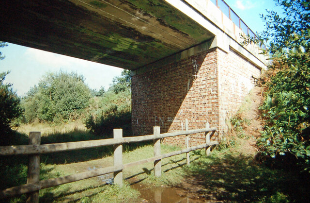
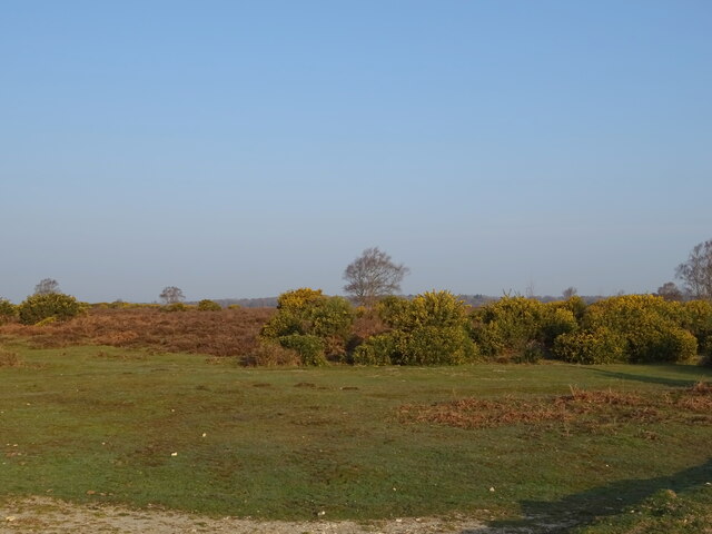
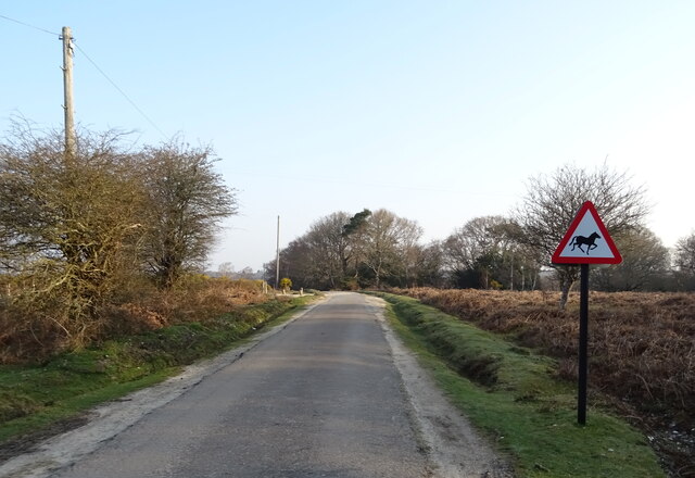
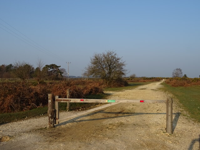
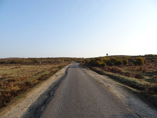
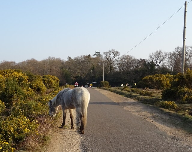
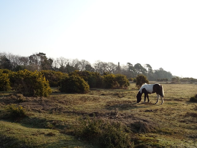
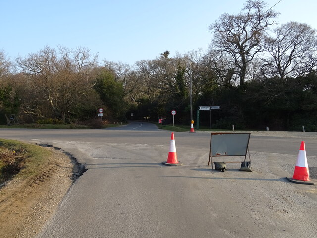
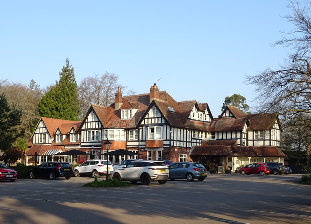
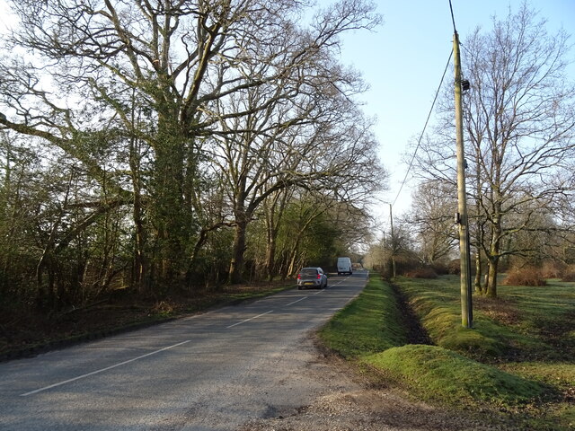
Pigsty Hill Images

Images are sourced within 2km of 50.820765/-1.689166 or Grid Reference SU2102. Thanks to Geograph Open Source API. All images are credited.

Greenberry Bridge Greenberry Bridge spanned the old LSWR main line between Holmsley and Ringwood.  It survived the line's closure, but was demolished when it became unsafe in 1995.  The trackbed is part of the Castleman Trail, well used by walkers and riders.
Greenberry Bridge
Greenberry Bridge spanned the old LSWR main line between Holmsley and Ringwood. It survived the line's closure, but was demolished when it became unsafe in 1995. The trackbed is part of the Castleman Trail, well used by walkers and riders.
Underneath Burley Road bridge This bridge carrying Burley Road over the formation of the old LSWR 'Castleman's Corkscrew' main line near Burbush Hill was rebuilt in concrete not too long before the line was closed in the 1960's.  To the west, the railway cutting has become a waterlogged bog, but to the east a path/bridleway exists as far as the site of the old Holmsley Station.
Underneath Burley Road bridge
This bridge carrying Burley Road over the formation of the old LSWR 'Castleman's Corkscrew' main line near Burbush Hill was rebuilt in concrete not too long before the line was closed in the 1960's. To the west, the railway cutting has become a waterlogged bog, but to the east a path/bridleway exists as far as the site of the old Holmsley Station.
Heath, Holmsley
Heath, Holmsley
Beware of Wild Horses
Track towards Holmsley Ridge
Holmsley Passage
Holmsley Passage
New Forest Ponies, Holmsley
Holmsley Passage
Holmsley Passage
Heath, New Forest
Heath, New Forest
Minor road junction
Minor road junction
The White Buck
The White Buck
Sign for the White Buck
House, Bisterne Close
Bend in Mill Lane
Bend in Mill Lane
Ford (dry) on Mill Lane and adjacent footbridge spanning one of the tributaries of Mill Lawn Brook
Track beside woodland
Lyndhurst Road towards Burley
Show me another place!

Pigsty Hill is located at Grid Ref: SU2102 (Lat: 50.820765, Lng: -1.689166)

Administrative County: Hampshire

District: New Forest

Police Authority: Hampshire

What 3 Words

///column.dial.planet. Near Burley, Hampshire

Related Wikis

Burley, Hampshire

Burley is a village and civil parish in the New Forest, Hampshire, England. It has ancient origins and is now somewhat tourist-orientated. == The village... ==

Holmsley railway station

Holmsley is a closed railway station in the county of Hampshire which served rural settlements in the New Forest. == History == The station was opened...

Castle Hill, Hampshire

Castle Hill is the site of an Iron Age univallate hillfort located in the civil parish of Burley in the New Forest national park in Hampshire, England...

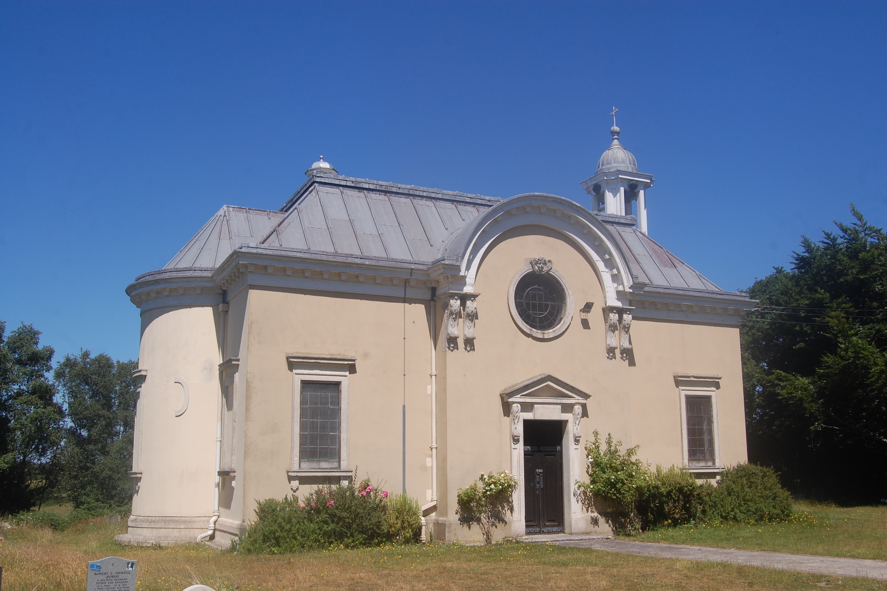
All Saints' Church, Thorney Hill

All Saints' Church is a Church of England church in Thorney Hill, Hampshire, England. It was built in 1905–06 and has been a Grade I listed building since...

Nearby Amenities

Located within 500m of 50.820765,-1.689166
YHA New Forest Burley Youth Hostel
Addr City: Burley
Addr Postcode: BH24 4BB
Addr Street: Cott Lane
Brand: YHA
Brand Wikidata: Q8059214
Contact Website: https://www.yha.org.uk/hostel/yha-new-forest
Phone: +44 345 3719309
Tourism: hostel
Lat/Long: 50.8242/-1.68764
Bridge: yes
Lat/Long: 50.8163222/-1.6885625
Bus Stop
Durmast Cross
Bench: yes
Bin: no
Bus: yes
Lit: no
Naptan AtcoCode: 1900HA080899
Naptan Bearing: NW
Naptan CommonName: Durmast Cross
Naptan Crossing: Bennets Lane
Naptan NaptanCode: hamadtjw
Naptan Street: Station Road
Naptan Verified: no
Public Transport: platform
Shelter: yes
Source: naptan_import
Tactile Paving: no
Lat/Long: 50.8212069/-1.6831725
Bus Stop
Durmast Cross
Bus: yes
Naptan AtcoCode: 1900HA080900
Naptan Bearing: SE
Naptan BusStopType: CUS
Naptan CommonName: Durmast Cross
Naptan NaptanCode: hamadtma
Naptan Street: Station Road
Naptan Verified: no
Public Transport: platform
Shelter: yes
Source: naptan_import
Lat/Long: 50.821053/-1.6828185
Power: substation
Lat/Long: 50.8234562/-1.6839358
Cot Bottom
Place: locality
Lat/Long: 50.8203703/-1.6868
Broadoak Bottom
Place: locality
Lat/Long: 50.8189696/-1.6906165
Pigsty Hill
Place: locality
Lat/Long: 50.820677/-1.6884545
Turf Hill
Place: locality
Lat/Long: 50.8192683/-1.6936328
The data included in this document is from www.openstreetmap.org. The data is made available under ODbL.

Have you been to Pigsty Hill?

Leave your review of Pigsty Hill below (or comments, questions and feedback).