Broadoak Bottom
Valley in Hampshire New Forest
England
Broadoak Bottom
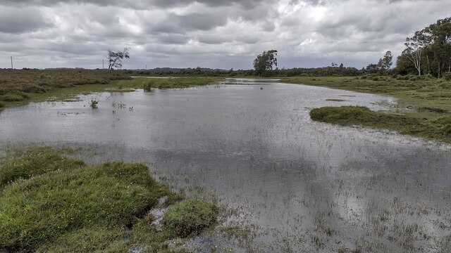
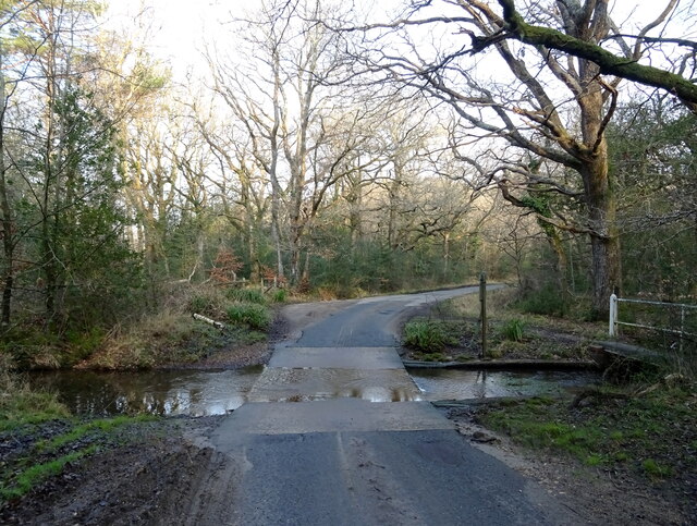
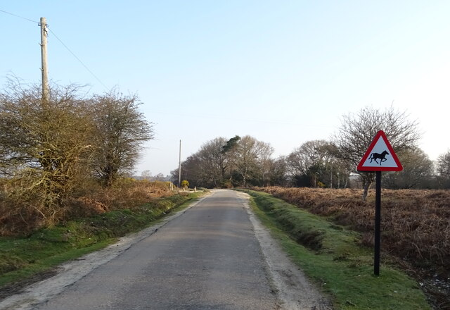
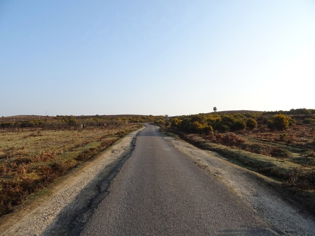
Broadoak Bottom is a picturesque valley located in Hampshire, England. It is nestled amidst the rolling countryside, surrounded by lush green fields and woodlands. The valley is part of the South Downs National Park, renowned for its outstanding natural beauty and diverse flora and fauna.
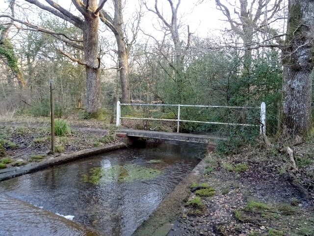
The bottom, or valley, stretches for approximately two miles and is formed by the meandering course of the Broadoak River. The river flows gently through the valley, adding to the tranquility and charm of the area. The river is home to a variety of fish species, including trout and grayling, making it a popular spot for anglers.
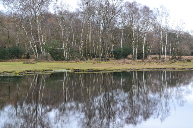
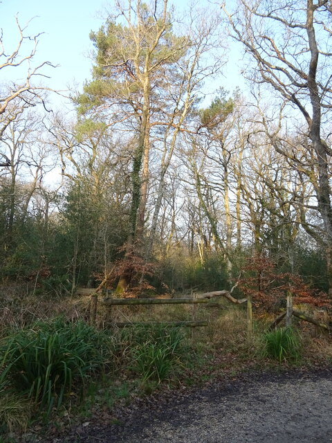
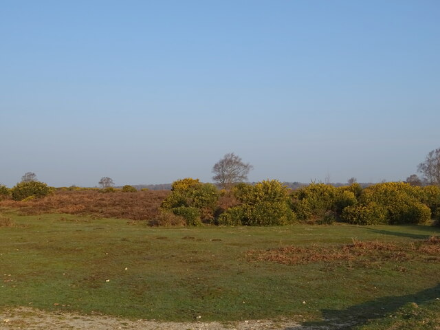
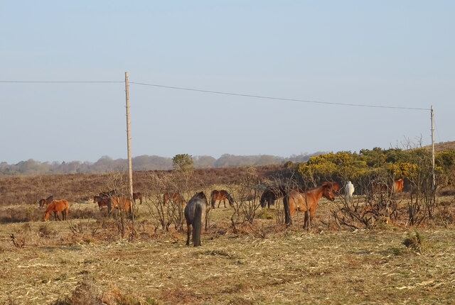
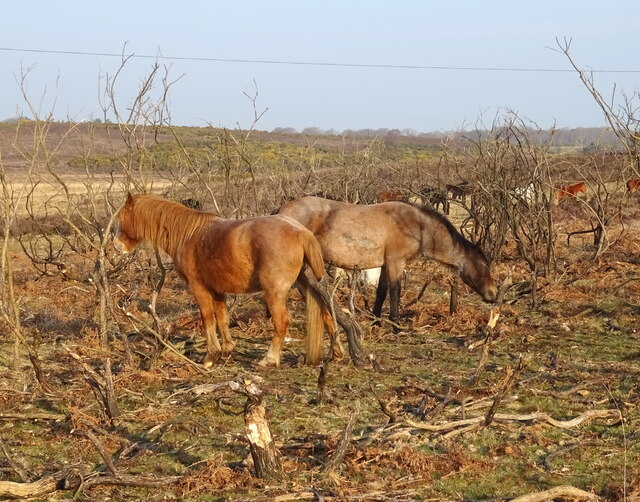
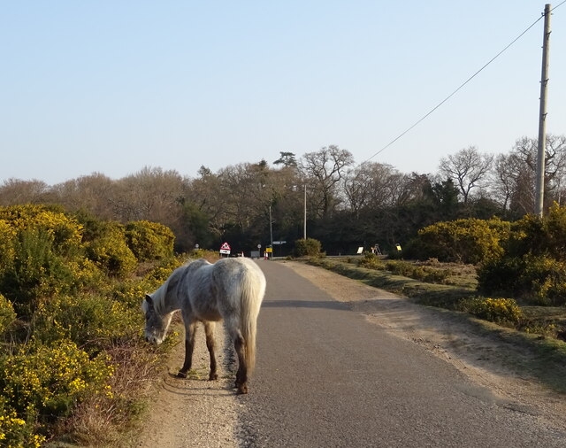
The valley is also home to a rich diversity of wildlife. It provides a habitat for many species of birds, such as buzzards, kestrels, and skylarks, which can be seen soaring above the valley. The woodlands that flank the valley are inhabited by deer, badgers, and foxes, adding to the area's natural appeal.
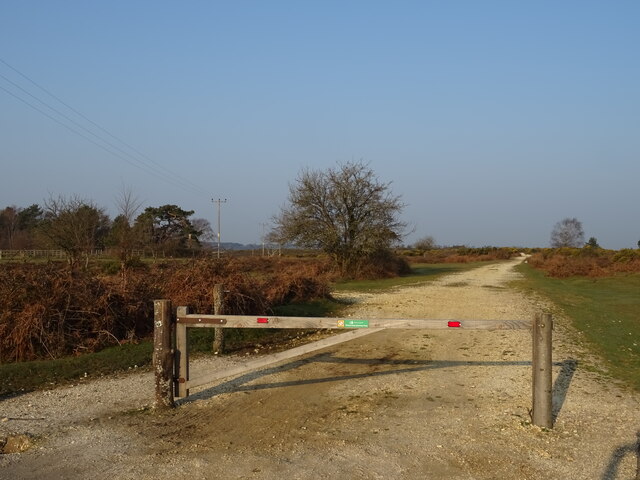
Broadoak Bottom offers numerous walking trails, allowing visitors to explore the valley's beauty at their own pace. The trails wind through the woodlands and provide breathtaking views of the surrounding countryside. In spring, the valley bursts into life with vibrant wildflowers, creating a picturesque backdrop for nature lovers and photographers alike.
The valley is a haven for outdoor enthusiasts, offering opportunities for hiking, cycling, and horse riding. It is also a popular spot for picnics and family outings, with designated picnic areas and open spaces for recreational activities.
Overall, Broadoak Bottom in Hampshire is a hidden gem, offering a peaceful and idyllic escape into nature. Its natural beauty, diverse wildlife, and recreational opportunities make it a must-visit destination for nature enthusiasts and those seeking a tranquil retreat.
If you have any feedback on the listing, please let us know in the comments section below.
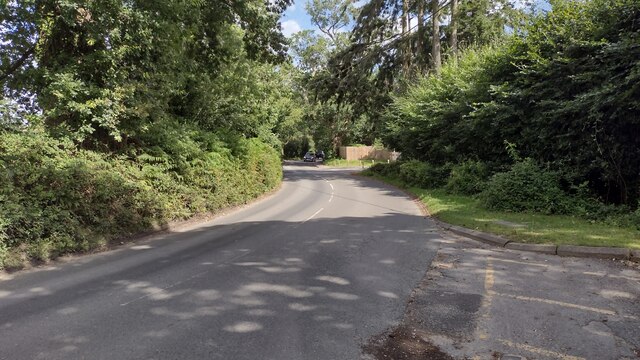
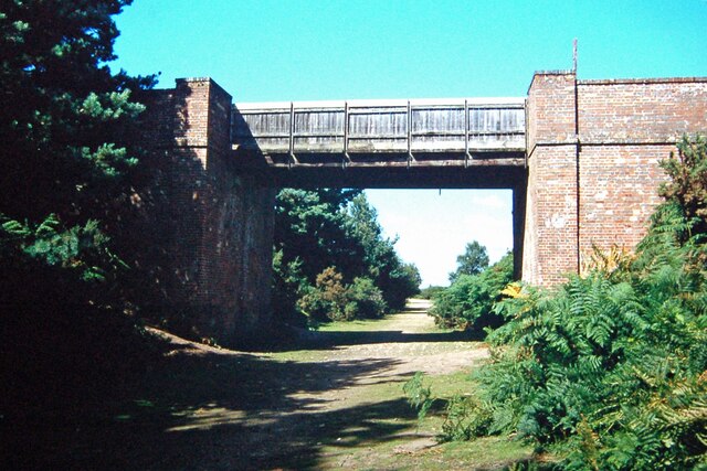
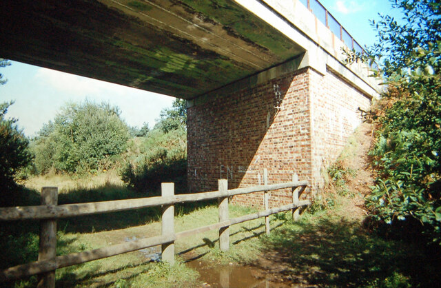
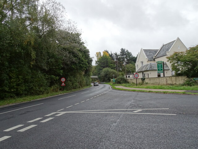
Broadoak Bottom Images
Images are sourced within 2km of 50.819007/-1.6909095 or Grid Reference SU2102. Thanks to Geograph Open Source API. All images are credited.
Broadoak Bottom is located at Grid Ref: SU2102 (Lat: 50.819007, Lng: -1.6909095)
Administrative County: Hampshire
District: New Forest
Police Authority: Hampshire
What 3 Words
///drags.vented.input. Near Burley, Hampshire
Nearby Locations
Related Wikis

Burley, Hampshire
Burley is a village and civil parish in the New Forest, Hampshire, England. It has ancient origins and is now somewhat tourist-orientated. == The village... ==

Holmsley railway station
Holmsley is a closed railway station in the county of Hampshire which served rural settlements in the New Forest. == History == The station was opened...

Castle Hill, Hampshire
Castle Hill is the site of an Iron Age univallate hillfort located in the civil parish of Burley in the New Forest national park in Hampshire, England...

All Saints' Church, Thorney Hill
All Saints' Church is a Church of England church in Thorney Hill, Hampshire, England. It was built in 1905–06 and has been a Grade I listed building since...

RAF Holmsley South
Royal Air Force Holmsley South or more simply RAF Holmsley South is a former Royal Air Force station in Hampshire, England. The airfield is located approximately...

Avon Tyrrell House
Avon Tyrrell is an historic manor within the parish of Sopley, Hampshire. It is situated within the New Forest, near Christchurch. The present manor house...

Bagnum
Bagnum is a hamlet in the English county of Hampshire. The settlement is within the civil parish of Ringwood (where the 2011 Census was included), and...

New Forest West (UK Parliament constituency)
New Forest West is a constituency represented in the House of Commons of the UK Parliament since 1997 by Desmond Swayne, a Conservative. == Constituency... ==
Nearby Amenities
Located within 500m of 50.819007,-1.6909095Have you been to Broadoak Bottom?
Leave your review of Broadoak Bottom below (or comments, questions and feedback).