Turf Hill

Hill, Mountain in Hampshire New Forest

England

Turf Hill

Long Pond A tranquil Long Pond
Long Pond Credit: Shaun Ferguson

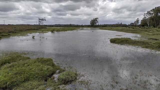
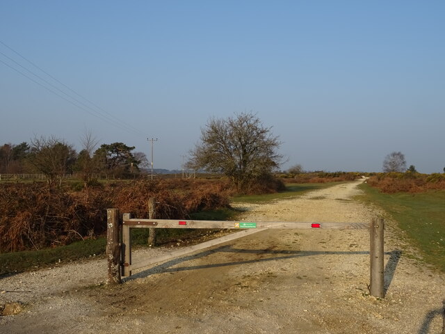
Turf Hill is a prominent hill located in the county of Hampshire, England. Situated in the South Downs National Park, it forms part of the picturesque landscape that encompasses the region. With an elevation of approximately 208 meters (682 feet), Turf Hill provides stunning panoramic views of the surrounding countryside.

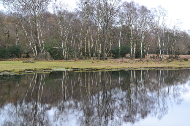
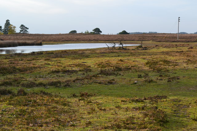
The hill is primarily composed of chalk, a characteristic feature of the South Downs. This geological composition contributes to the unique flora and fauna found in the area, making it a haven for nature enthusiasts and hikers alike. The hill is covered with a lush carpet of grass, giving it a distinctive green hue throughout the year.

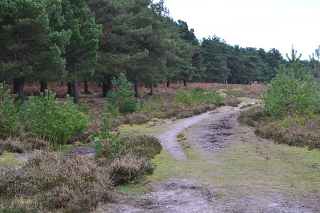
Turf Hill is a popular destination for outdoor activities, offering numerous walking trails and paths that cater to all levels of fitness. The hill provides ample opportunities for individuals to engage in recreational pursuits such as walking, hiking, and even paragliding. Its commanding height and open landscape make it an ideal spot for those seeking outdoor adventure and a chance to appreciate the natural beauty of the Hampshire countryside.

Aside from its natural attractions, Turf Hill is also known for its historical significance. The area has evidence of human habitation dating back to prehistoric times, with archaeological finds suggesting that it was once used as a settlement during the Neolithic period. These remnants of human activity add to the rich cultural heritage of the hill and the wider Hampshire region.

In conclusion, Turf Hill is a captivating natural landmark in Hampshire, offering breathtaking views, diverse wildlife, and a wealth of recreational opportunities for visitors. Whether one is seeking a peaceful walk in nature or an adrenaline-pumping adventure, Turf Hill is a destination that caters to all.

If you have any feedback on the listing, please let us know in the comments section below.
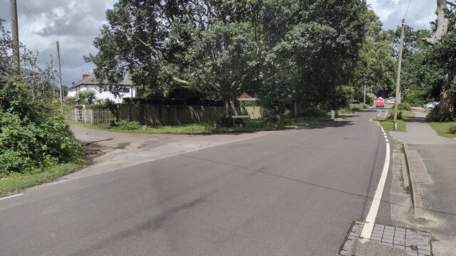
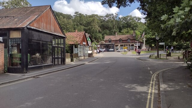
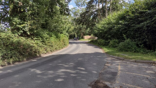
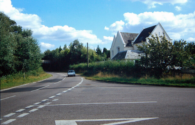
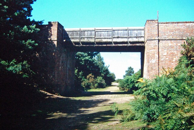
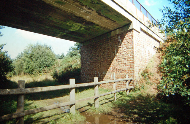
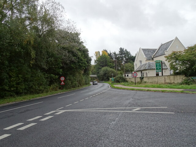
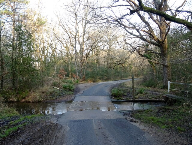
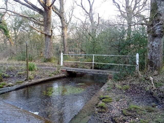
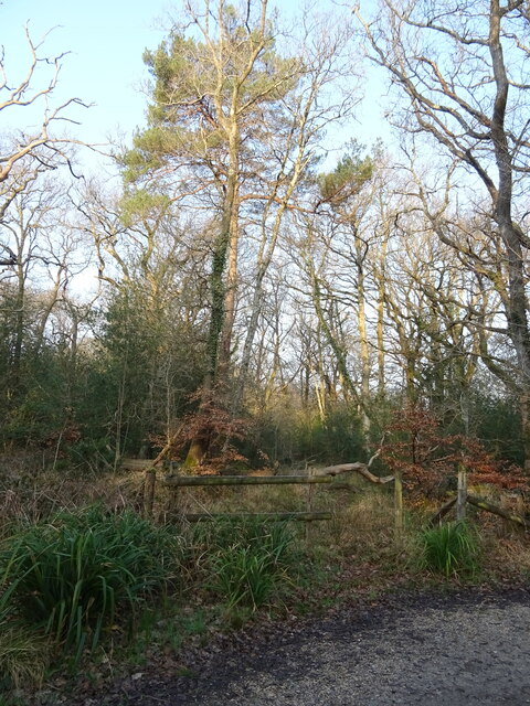
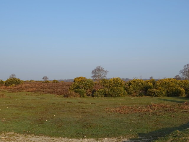
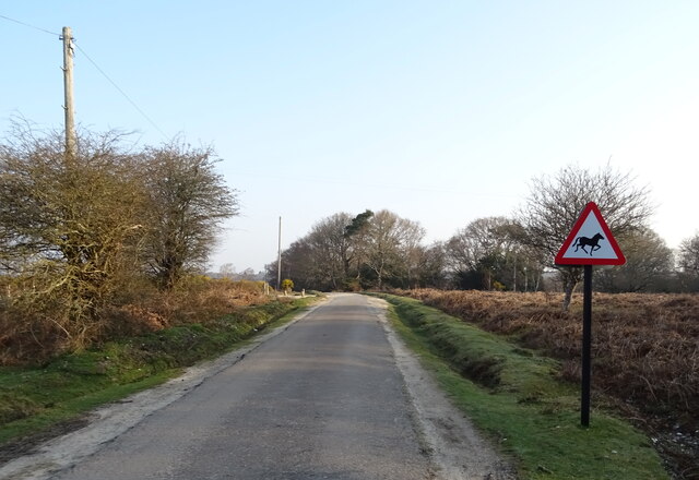
Turf Hill Images

Images are sourced within 2km of 50.817384/-1.6925668 or Grid Reference SU2102. Thanks to Geograph Open Source API. All images are credited.

Long Pond A tranquil Long Pond
Long Pond
A tranquil Long Pond
Trees reflected in Long Pond
Path beside dismantled railway The route of the railway itself is at this point heavily waterlogged and impassable on foot.
Path beside dismantled railway
The route of the railway itself is at this point heavily waterlogged and impassable on foot.
Pond beside former railway line
Edge of pond on Cranes Moor This is the smaller of two ponds and is not named on Ordnance Survey maps at any scale.
Edge of pond on Cranes Moor
This is the smaller of two ponds and is not named on Ordnance Survey maps at any scale.
Pound Lane heading towards Burley Pound Lane passing Copse Road heading towards Burley
Pound Lane heading towards Burley
Pound Lane passing Copse Road heading towards Burley
The Cross The Cross Burley
The Cross
The Cross Burley
Ringwood Road Ringwood Road by the hatched entrance to the Fire Station heading into Burley
Ringwood Road
Ringwood Road by the hatched entrance to the Fire Station heading into Burley
Holmsley Station Holmsley Station was on the Brockenhurst to Wimborne line, part of 'Castleman's Corkscrew' the onetime LSWR main line from Southampton to Weymouth.  After closure in the 1960's the track became a road and the station became the Holmsley Tea Rooms.
Holmsley Station
Holmsley Station was on the Brockenhurst to Wimborne line, part of 'Castleman's Corkscrew' the onetime LSWR main line from Southampton to Weymouth. After closure in the 1960's the track became a road and the station became the Holmsley Tea Rooms.
Greenberry Bridge Greenberry Bridge spanned the old LSWR main line between Holmsley and Ringwood.  It survived the line's closure, but was demolished when it became unsafe in 1995.  The trackbed is part of the Castleman Trail, well used by walkers and riders.
Greenberry Bridge
Greenberry Bridge spanned the old LSWR main line between Holmsley and Ringwood. It survived the line's closure, but was demolished when it became unsafe in 1995. The trackbed is part of the Castleman Trail, well used by walkers and riders.
Underneath Burley Road bridge This bridge carrying Burley Road over the formation of the old LSWR 'Castleman's Corkscrew' main line near Burbush Hill was rebuilt in concrete not too long before the line was closed in the 1960's.  To the west, the railway cutting has become a waterlogged bog, but to the east a path/bridleway exists as far as the site of the old Holmsley Station.
Underneath Burley Road bridge
This bridge carrying Burley Road over the formation of the old LSWR 'Castleman's Corkscrew' main line near Burbush Hill was rebuilt in concrete not too long before the line was closed in the 1960's. To the west, the railway cutting has become a waterlogged bog, but to the east a path/bridleway exists as far as the site of the old Holmsley Station.
Station Road View The view towards the A35 bridge in Hampshire.
Station Road View
The view towards the A35 bridge in Hampshire.
Ford over Avon Water, Holmsley Inclosure
Footbridge over Avon Water near ford, Holmsley Inclosure
Woodland, Holmsley Inclosure
Heath, Holmsley
Heath, Holmsley
Beware of Wild Horses
Track towards Holmsley Ridge
Show me another place!

Turf Hill is located at Grid Ref: SU2102 (Lat: 50.817384, Lng: -1.6925668)

Administrative County: Hampshire

District: New Forest

Police Authority: Hampshire

What 3 Words

///raves.slung.cobble. Near Burley, Hampshire

Related Wikis

Burley, Hampshire

Burley is a village and civil parish in the New Forest, Hampshire, England. It has ancient origins and is now somewhat tourist-orientated. == The village... ==

Holmsley railway station

Holmsley is a closed railway station in the county of Hampshire which served rural settlements in the New Forest. == History == The station was opened...

Castle Hill, Hampshire

Castle Hill is the site of an Iron Age univallate hillfort located in the civil parish of Burley in the New Forest national park in Hampshire, England...

All Saints' Church, Thorney Hill

All Saints' Church is a Church of England church in Thorney Hill, Hampshire, England. It was built in 1905–06 and has been a Grade I listed building since...

RAF Holmsley South

Royal Air Force Holmsley South or more simply RAF Holmsley South is a former Royal Air Force station in Hampshire, England. The airfield is located approximately...

Avon Tyrrell House

Avon Tyrrell is an historic manor within the parish of Sopley, Hampshire. It is situated within the New Forest, near Christchurch. The present manor house...

Bagnum

Bagnum is a hamlet in the English county of Hampshire. The settlement is within the civil parish of Ringwood (where the 2011 Census was included), and...

Ossemsley

Ossemsley is an extended hamlet in the New Forest National Park of Hampshire, England. It lies close to the village of Bashley. The nearest town is New...

Nearby Amenities

Located within 500m of 50.817384,-1.6925668
Bridge: yes
Lat/Long: 50.8163222/-1.6885625
Broadoak Bottom
Place: locality
Lat/Long: 50.8189696/-1.6906165
Pigsty Hill
Place: locality
Lat/Long: 50.820677/-1.6884545
Turf Hill
Place: locality
Lat/Long: 50.8192683/-1.6936328
Shappen Bottom
Place: locality
Lat/Long: 50.8181819/-1.6971892
Power: pole
Source: bing
Lat/Long: 50.8157724/-1.6990413
Power: pole
Source: bing
Lat/Long: 50.8158241/-1.6978329
Power: pole
Source: bing
Lat/Long: 50.8158741/-1.6966756
Power: pole
Source: bing
Lat/Long: 50.8159173/-1.6956536
Power: pole
Source: bing
Lat/Long: 50.8159521/-1.6944829
Power: pole
Source: bing
Lat/Long: 50.8160241/-1.6923009
Power: pole
Source: bing
Lat/Long: 50.816097/-1.6912173
Power: pole
Source: bing
Lat/Long: 50.8161537/-1.6901571
Power: pole
Source: bing
Lat/Long: 50.816202/-1.6890527
Power: pole
Source: bing
Lat/Long: 50.8162435/-1.6879812
Power: pole
Source: bing
Lat/Long: 50.8158309/-1.6873066
Power: pole
Source: bing
Lat/Long: 50.8154454/-1.6866682
Power: pole
Source: bing
Lat/Long: 50.8160004/-1.6933845
The data included in this document is from www.openstreetmap.org. The data is made available under ODbL.

Have you been to Turf Hill?

Leave your review of Turf Hill below (or comments, questions and feedback).