Slap Wood
Wood, Forest in Hampshire New Forest
England
Slap Wood
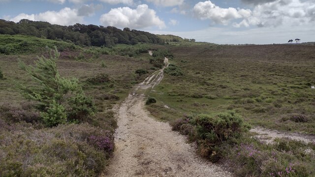
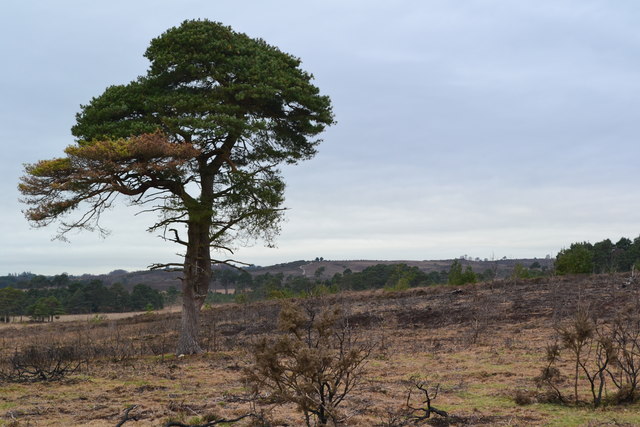
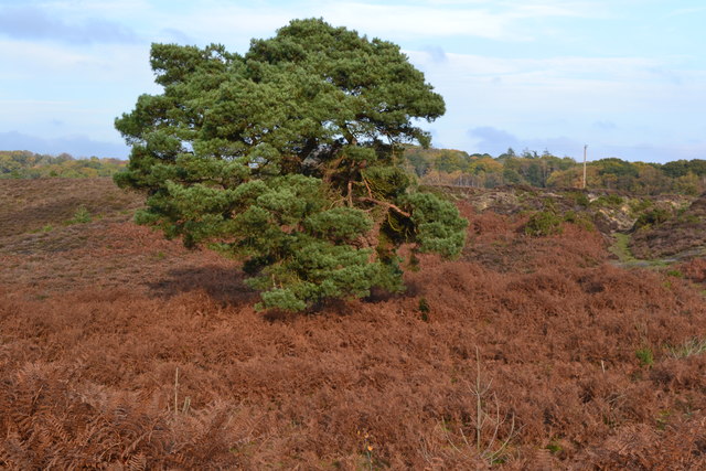
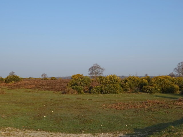
Slap Wood is a small wooded area located in the county of Hampshire, England. Situated on the outskirts of the village of Wood, it forms part of the larger Forest of Hampshire. Covering an area of approximately 50 acres, Slap Wood is known for its diverse range of tree species and rich wildlife.
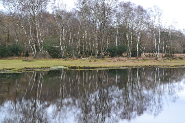
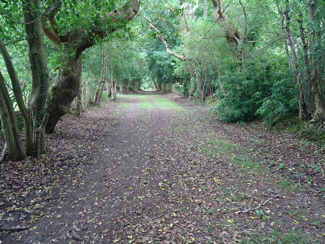
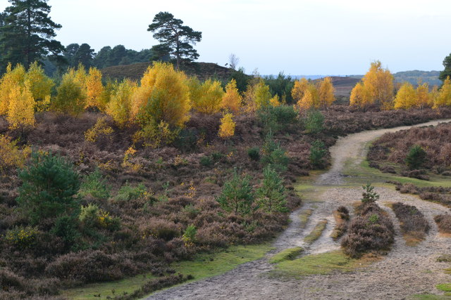
The wood is predominantly composed of broadleaf trees, such as oak, beech, and ash, which create a dense canopy that provides shade and shelter for various flora and fauna. The forest floor is adorned with a carpet of wildflowers, including bluebells, primroses, and ferns, adding to the wood's natural charm.
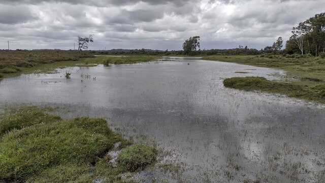
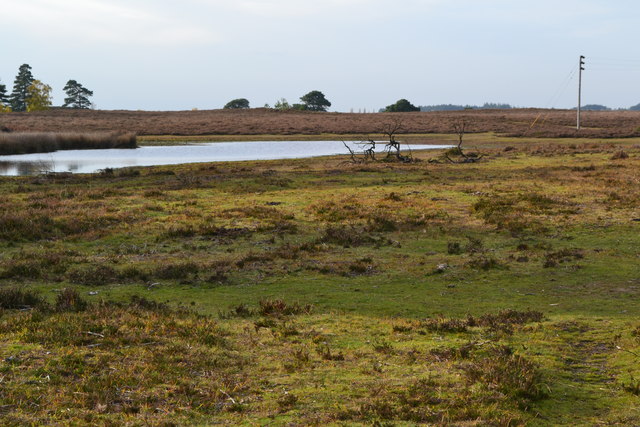
Slap Wood is a haven for wildlife enthusiasts, offering an array of bird species, including woodpeckers, owls, and various songbirds. The wood is also home to small mammals like foxes, badgers, and hedgehogs, as well as a variety of insects and reptiles.
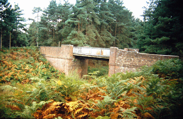
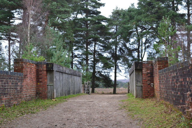
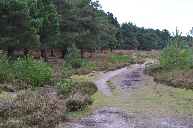
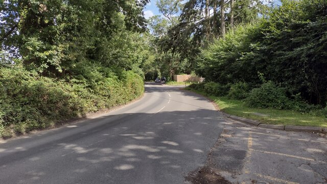
For nature lovers and outdoor enthusiasts, Slap Wood offers several walking trails and paths that meander through the woodland, allowing visitors to explore its beauty at their own pace. The wood's tranquil atmosphere and picturesque surroundings make it an ideal spot for nature walks, picnics, and photography.
Managed by the local forestry commission, Slap Wood is a well-preserved natural space that serves as an important habitat for wildlife and contributes to the overall biodiversity of the region. It is a cherished green space for the community of Wood and a popular destination for those seeking solace in nature.
If you have any feedback on the listing, please let us know in the comments section below.
Slap Wood Images
Images are sourced within 2km of 50.820415/-1.703194 or Grid Reference SU2102. Thanks to Geograph Open Source API. All images are credited.

Slap Wood is located at Grid Ref: SU2102 (Lat: 50.820415, Lng: -1.703194)
Administrative County: Hampshire
District: New Forest
Police Authority: Hampshire
What 3 Words
///newly.shape.scorecard. Near Burley, Hampshire
Nearby Locations
Related Wikis

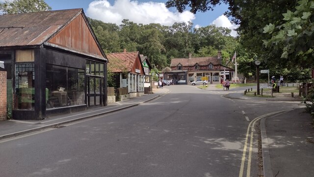
Burley, Hampshire
Burley is a village and civil parish in the New Forest, Hampshire, England. It has ancient origins and is now somewhat tourist-orientated. == The village... ==

Castle Hill, Hampshire
Castle Hill is the site of an Iron Age univallate hillfort located in the civil parish of Burley in the New Forest national park in Hampshire, England...

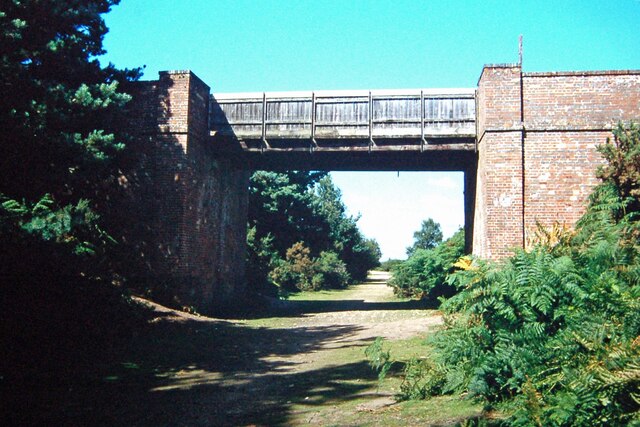
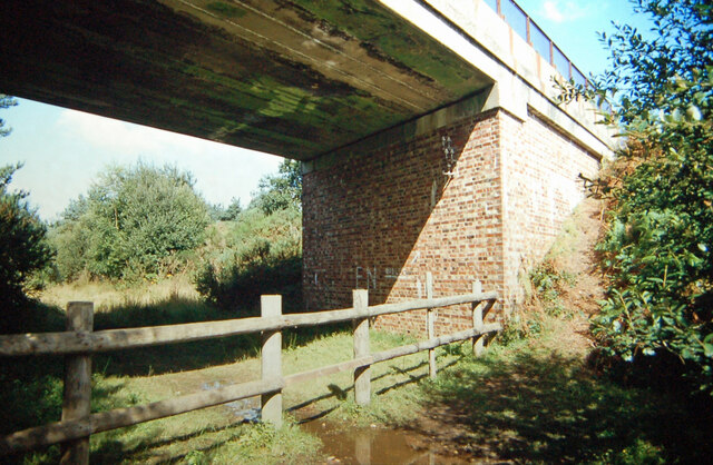
Holmsley railway station
Holmsley is a closed railway station in the county of Hampshire which served rural settlements in the New Forest. == History == The station was opened...

All Saints' Church, Thorney Hill
All Saints' Church is a Church of England church in Thorney Hill, Hampshire, England. It was built in 1905–06 and has been a Grade I listed building since...

Avon Tyrrell House
Avon Tyrrell is an historic manor within the parish of Sopley, Hampshire. It is situated within the New Forest, near Christchurch. The present manor house...

RAF Holmsley South
Royal Air Force Holmsley South or more simply RAF Holmsley South is a former Royal Air Force station in Hampshire, England. The airfield is located approximately...

Bagnum
Bagnum is a hamlet in the English county of Hampshire. The settlement is within the civil parish of Ringwood (where the 2011 Census was included), and...

Picket Post
Picket Post is a road junction and service area in the New Forest National Park of Hampshire, England. It lies on the A31 road. == Facilities == Picket...
Nearby Amenities
Located within 500m of 50.820415,-1.703194Have you been to Slap Wood?
Leave your review of Slap Wood below (or comments, questions and feedback).