Camp Plantation
Wood, Forest in Northumberland
England
Camp Plantation
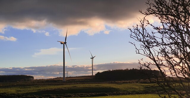
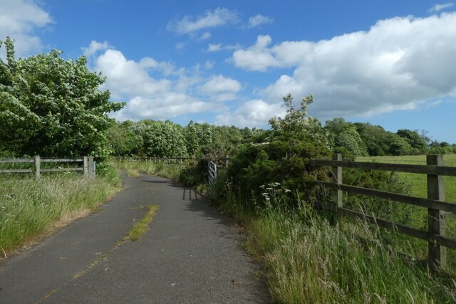
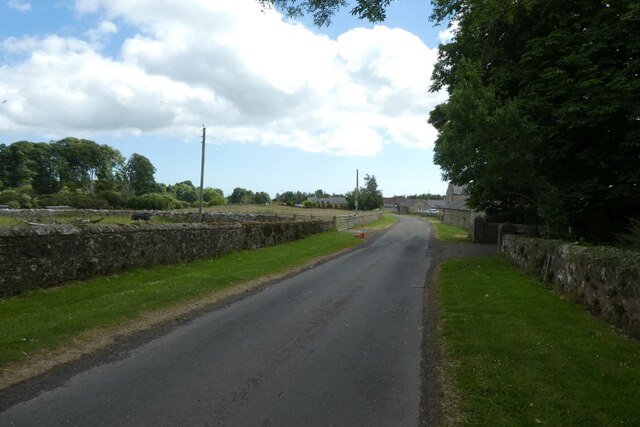
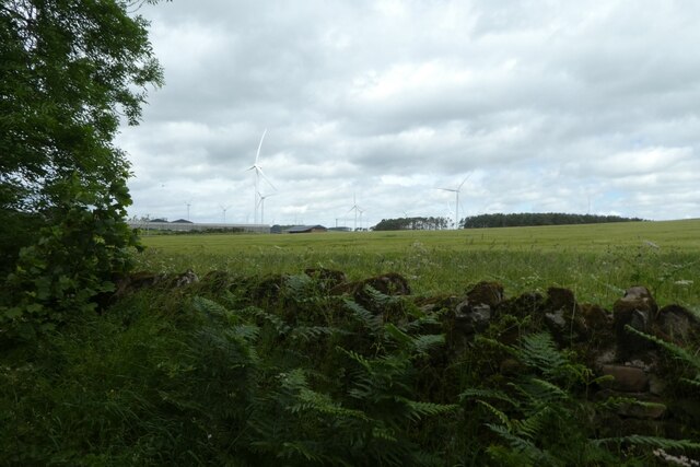
Camp Plantation is a stunning woodland located in Northumberland, England. Nestled in the heart of the countryside, this enchanting forest spans over several acres, offering visitors a tranquil and idyllic retreat from the hustle and bustle of daily life.
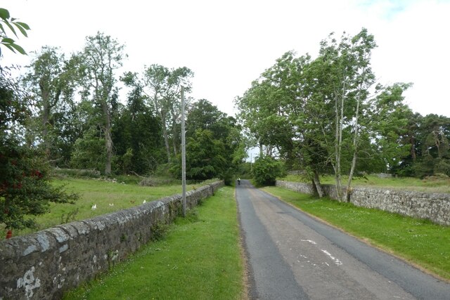
The plantation is known for its dense and diverse collection of trees, including oak, ash, beech, and birch, which form a lush canopy overhead. The woodland floor is carpeted with a rich assortment of wildflowers and ferns, creating a vibrant and picturesque setting.
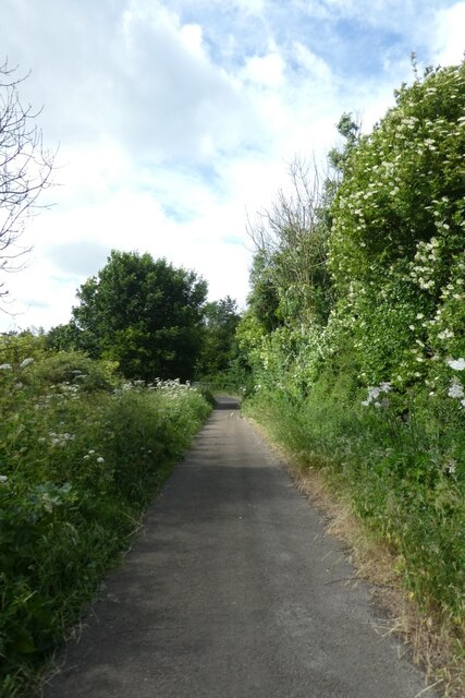
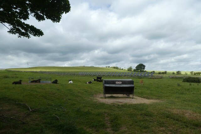
Camp Plantation is a paradise for nature lovers and wildlife enthusiasts. The forest is home to a myriad of animal species, such as deer, squirrels, and a variety of birds. Visitors can enjoy leisurely walks along the well-maintained trails, immersing themselves in the peaceful ambiance and observing the local flora and fauna.
The plantation also offers a range of recreational activities for visitors of all ages. There are designated picnic areas, perfect for enjoying a family outing or a peaceful lunch amidst the beauty of nature. Additionally, the forest provides ample space for camping, allowing visitors to spend the night under the starry sky and truly connect with the natural surroundings.
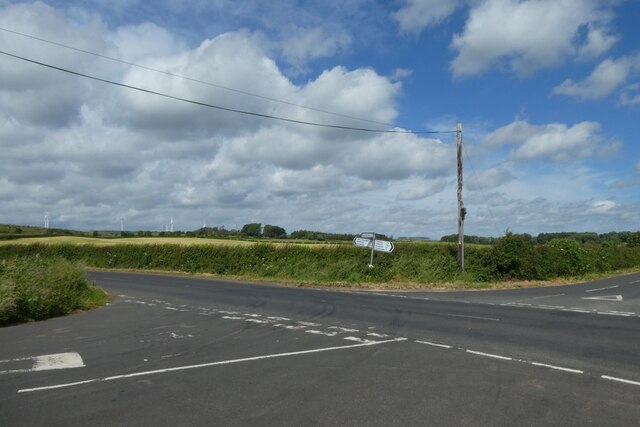
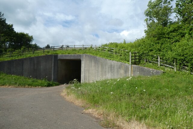
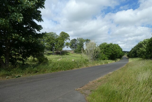
Camp Plantation is easily accessible, with a well-connected road network and ample parking facilities. The woodland is open to the public throughout the year, offering a serene and captivating escape in every season. Whether it's a leisurely stroll, bird-watching, or simply unwinding in nature's embrace, Camp Plantation provides a truly immersive and unforgettable experience for all who visit.
If you have any feedback on the listing, please let us know in the comments section below.
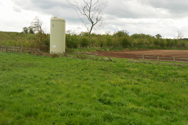
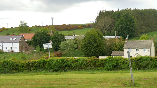
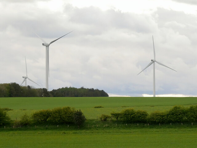
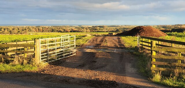
Camp Plantation Images
Images are sourced within 2km of 55.502324/-1.745432 or Grid Reference NU1623. Thanks to Geograph Open Source API. All images are credited.

Camp Plantation is located at Grid Ref: NU1623 (Lat: 55.502324, Lng: -1.745432)
Unitary Authority: Northumberland
Police Authority: Northumbria
What 3 Words
///cabin.trending.supported. Near Ellingham, Northumberland
Related Wikis

Brownieside
Brownieside is a hamlet in Northumberland, in England. It is situated between Alnwick and Berwick-upon-Tweed, on the A1 a short distance to the north of...

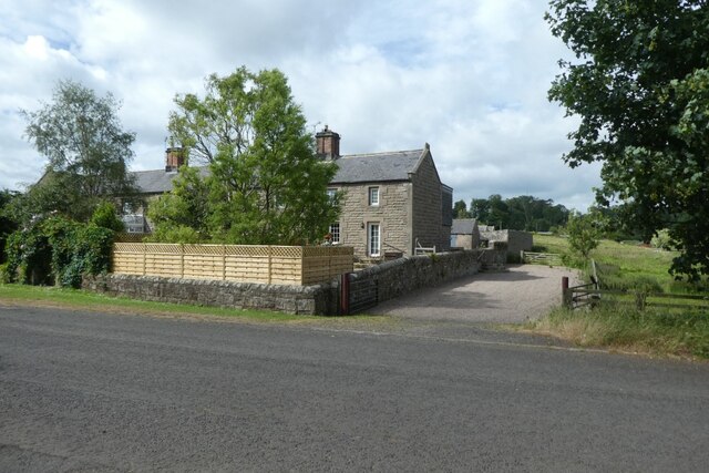
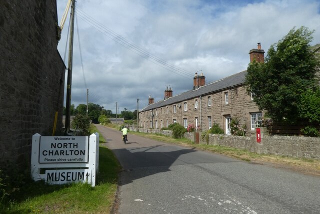
North Charlton
North Charlton is a hamlet and former civil parish, now in the parish of Eglingham, in Northumberland, England. It is situated between Alnwick and Berwick...
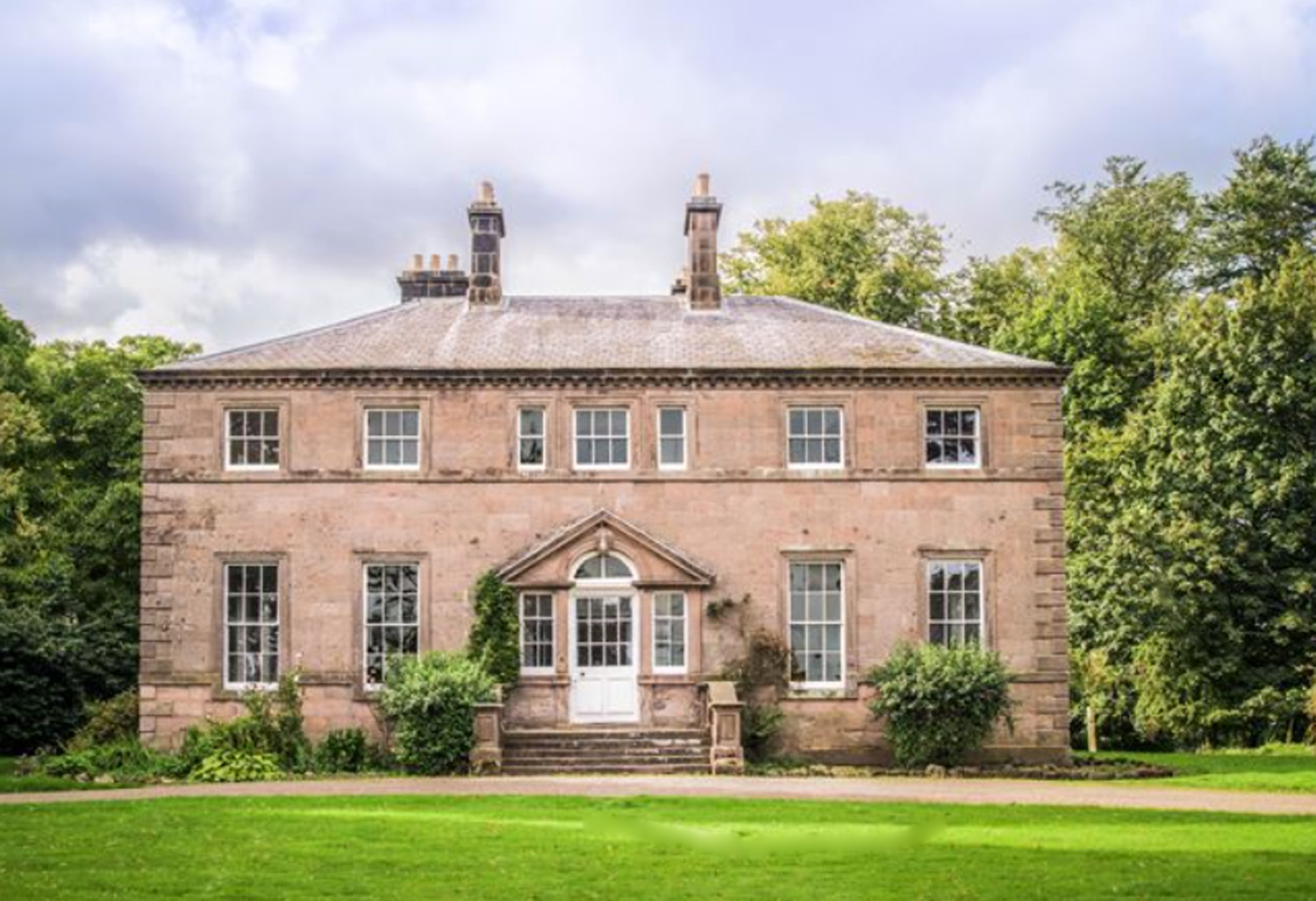
Charlton Hall, Northumberland
Charlton Hall near Ellingham, Northumberland is a building of historical significance and is listed Grade II* on the English Heritage Register. It was...

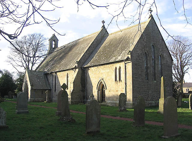
Ellingham, Northumberland
Ellingham is a civil parish in Northumberland, England. The population taken at the 2001 Census was 282, increasing slightly to 288 at the 2011 Census...

Preston Tower, Northumberland
Preston Tower is a fourteenth-century pele tower in Preston, Northumberland, England built in 1392. The tower is now a private museum. == References... ==
South Charlton
South Charlton is a small village and former civil parish, now in the parish of Eglingham, in the county of Northumberland, England, five miles (8 km)...

Chathill
Chathill is a hamlet and former civil parish, now in the parish of Ellingham, in Northumberland, England. It is about 9 miles (14 km) north of Alnwick...
Fallodon
Fallodon is a hamlet and former civil parish, now in the parish of Newton-by-the-Sea, in the county of Northumberland, England. It is the territorial designation...
Nearby Amenities
Located within 500m of 55.502324,-1.745432Have you been to Camp Plantation?
Leave your review of Camp Plantation below (or comments, questions and feedback).