Moor Cote Plantation
Wood, Forest in Yorkshire Richmondshire
England
Moor Cote Plantation
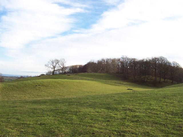
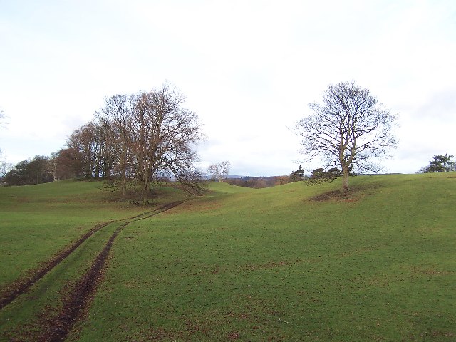
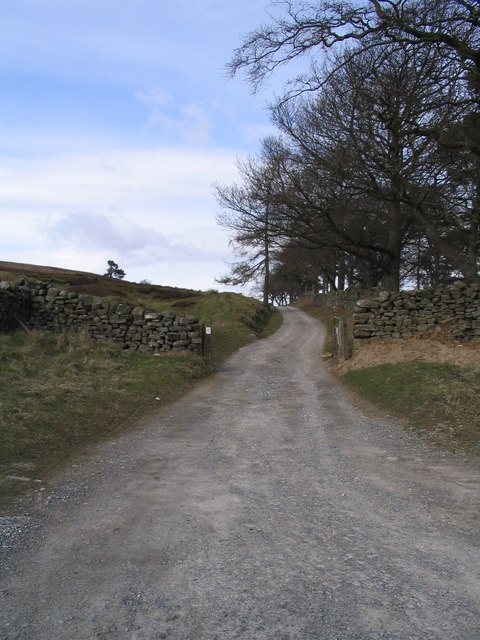
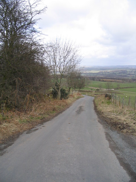
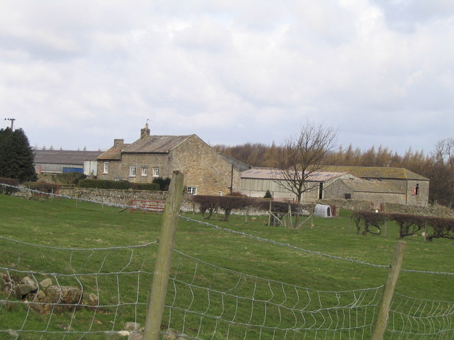
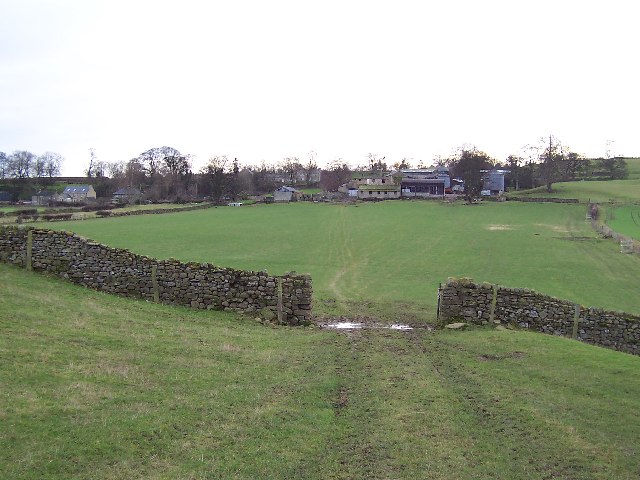
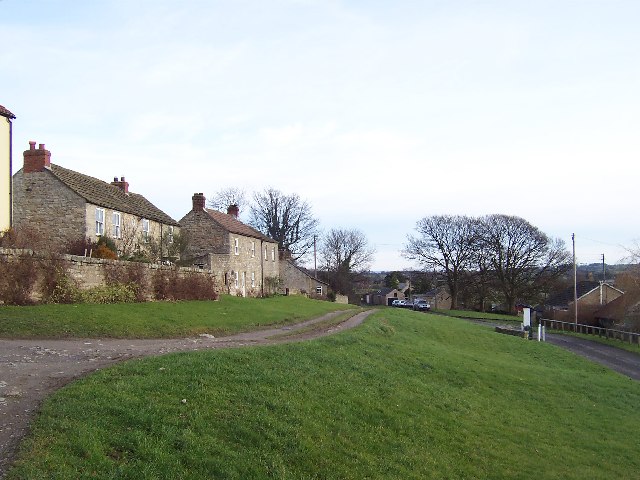
Moor Cote Plantation is a picturesque woodland located in the heart of Yorkshire, England. Spanning over a vast area, the plantation is known for its dense and captivating forest, offering a tranquil retreat for nature lovers and outdoor enthusiasts alike.
The woodland is predominantly made up of a variety of native trees, including oak, beech, and birch, creating a diverse and rich ecosystem. The trees tower above visitors, forming a dense canopy that provides shade and shelter to an array of wildlife, such as squirrels, deer, and a myriad of bird species.
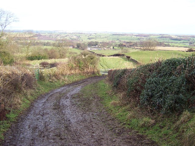
One of the notable features of Moor Cote Plantation is its well-maintained network of walking trails, which allow visitors to explore the woodland at their own pace. These trails wind through the forest, offering glimpses of the enchanting flora and fauna that call this place home. The pathways are clearly marked and suitable for all ages and abilities, making it an ideal destination for families and solo adventurers alike.
In addition to its natural beauty, Moor Cote Plantation also boasts a rich history. It is believed that the woodland has been in existence for centuries, and remnants of ancient settlements and archaeological sites have been discovered within its boundaries. This adds an extra layer of intrigue and fascination for those interested in the region's past.
Overall, Moor Cote Plantation is a captivating woodland that offers a serene escape from the hustle and bustle of daily life. Its natural beauty, diverse wildlife, and well-maintained trails make it an ideal destination for anyone seeking a peaceful and immersive experience in the heart of Yorkshire.
If you have any feedback on the listing, please let us know in the comments section below.
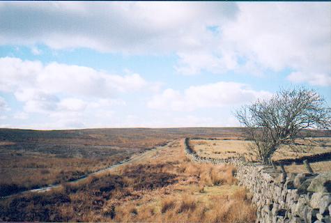
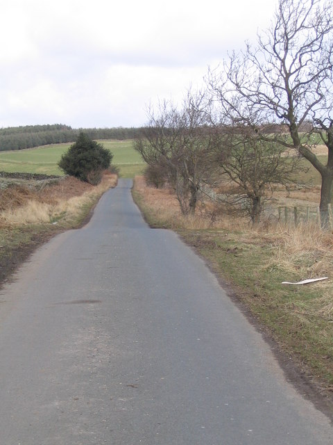
Moor Cote Plantation Images
Images are sourced within 2km of 54.2523/-1.7531518 or Grid Reference SE1684. Thanks to Geograph Open Source API. All images are credited.


Moor Cote Plantation is located at Grid Ref: SE1684 (Lat: 54.2523, Lng: -1.7531518)
Division: North Riding
Administrative County: North Yorkshire
District: Richmondshire
Police Authority: North Yorkshire
What 3 Words
///reject.necklaces.drill. Near Masham, North Yorkshire
Nearby Locations
Related Wikis

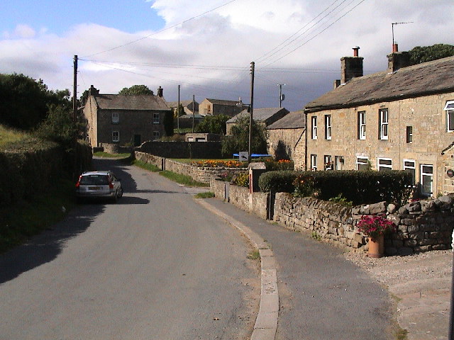
Ellingstring
Ellingstring is a village and civil parish in Wensleydale in North Yorkshire, England, about 5 miles (8 km) south-east of Leyburn, and 3.5 miles (5.6 km...
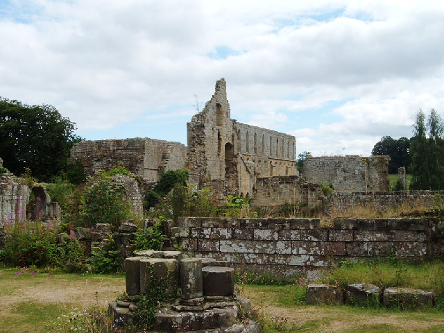
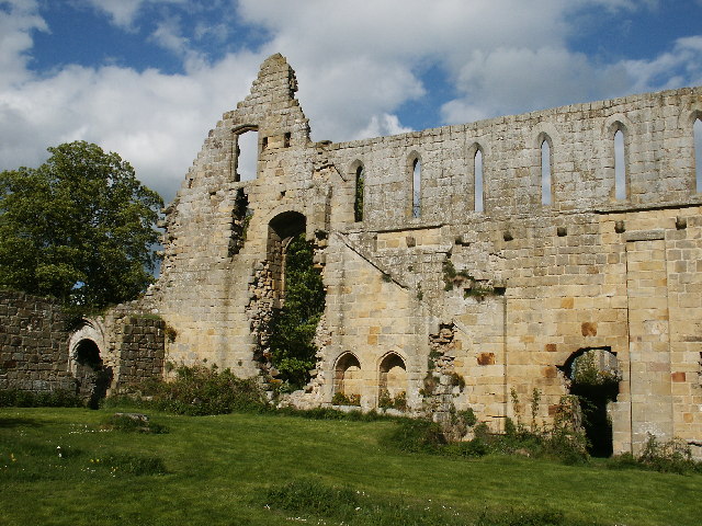
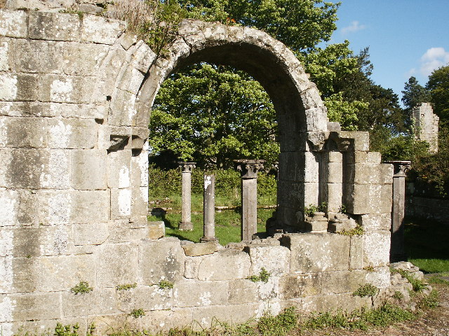
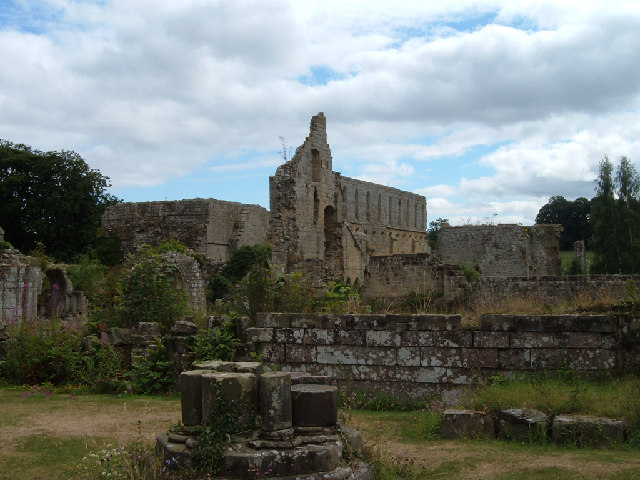
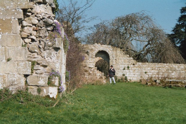
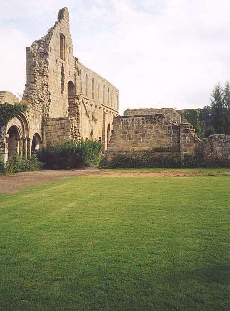
Jervaulx Abbey
Jervaulx Abbey in East Witton in North Yorkshire, 14 mi (23 km) north-west of the city of Ripon, was one of the great Cistercian abbeys of Yorkshire, England...

East Witton
East Witton is a village and civil parish in Wensleydale in North Yorkshire, England. It lies south of Leyburn, in the Richmondshire district. Richard...

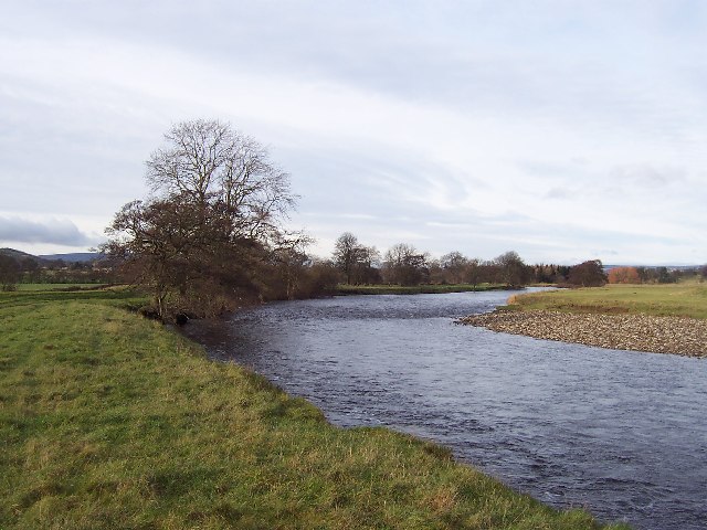
River Cover
The River Cover is a river in the Yorkshire Dales in North Yorkshire, England. The Yorkshire Dales Rivers Trust has a remit to conserve the ecological...

Gollinglith Foot
Gollinglith Foot (GOWN-li FOOT), historically also spelt Gownley Foot, is a hamlet in the civil parish of Healey in the Harrogate district of North Yorkshire...
High Ellington
High Ellington is a village in lower Wensleydale in North Yorkshire, England, about 2.5 miles (4 km) north-west of Masham. The smaller village of Low...
Thornton Steward
Thornton Steward is a small village and civil parish in North Yorkshire, England, near Wensleydale, with a population of 100–200, measured at 199 in the...
Ulshaw Bridge
Ulshaw Bridge is a hamlet on the River Ure, near to Middleham, in North Yorkshire, England. The hamlet derives its name partly from the Medieval stone...
Nearby Amenities
Located within 500m of 54.2523,-1.7531518Have you been to Moor Cote Plantation?
Leave your review of Moor Cote Plantation below (or comments, questions and feedback).