Araucaria Plantation
Wood, Forest in Derbyshire Derbyshire Dales
England
Araucaria Plantation
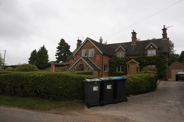
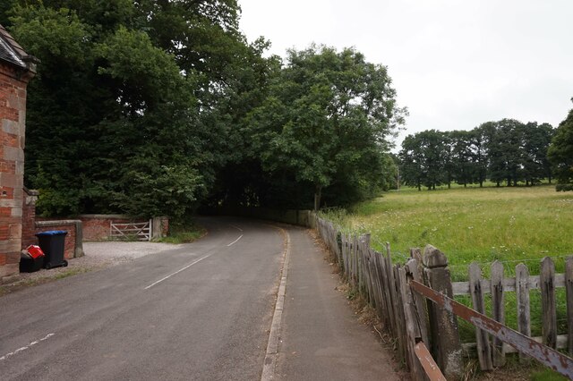
Araucaria Plantation, located in Derbyshire, is a captivating woodland area that showcases a diverse range of flora and fauna. Spanning over a vast expanse, this plantation is known for its abundant growth of Araucaria trees, commonly referred to as Monkey Puzzle trees. These evergreen conifers, native to South America, create a unique and picturesque landscape.
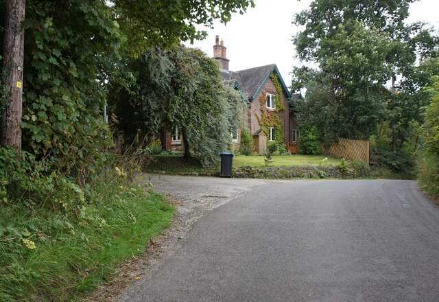
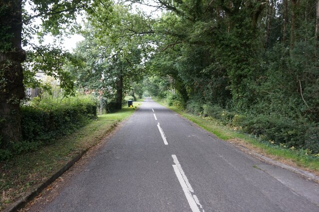
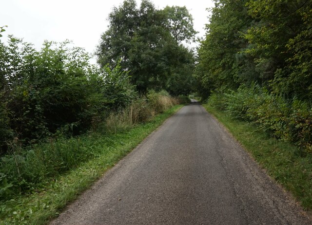
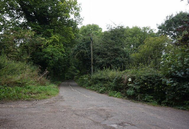
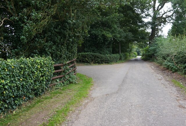
The Araucaria Plantation offers a serene and peaceful environment for visitors to explore. The dense forest provides a calm and tranquil setting, making it a popular destination for nature enthusiasts and hikers. The plantation boasts well-maintained walking trails that wind through the majestic trees, allowing visitors to witness the beauty of the woodland up close.
In addition to the enchanting Araucaria trees, the plantation is home to a wide variety of plant species. These include ferns, mosses, and other native flora that thrive in the damp and shaded environment. The undergrowth is a tapestry of vibrant greens, providing a striking contrast to the towering Monkey Puzzle trees.
The plantation also supports a diverse range of wildlife, attracting numerous bird species and small mammals. Birdwatchers will have the opportunity to spot woodland birds such as woodpeckers, owls, and various songbirds. Squirrels, foxes, and rabbits are also commonly sighted within the plantation.
Overall, Araucaria Plantation in Derbyshire is a haven for nature lovers, offering a captivating experience with its dense forest, unique Araucaria trees, and abundant wildlife. Whether for a leisurely stroll or a more adventurous hike, this plantation promises to provide visitors with a memorable and immersive natural experience.
If you have any feedback on the listing, please let us know in the comments section below.
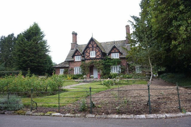
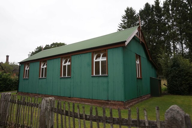
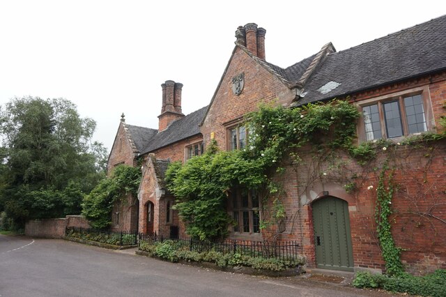
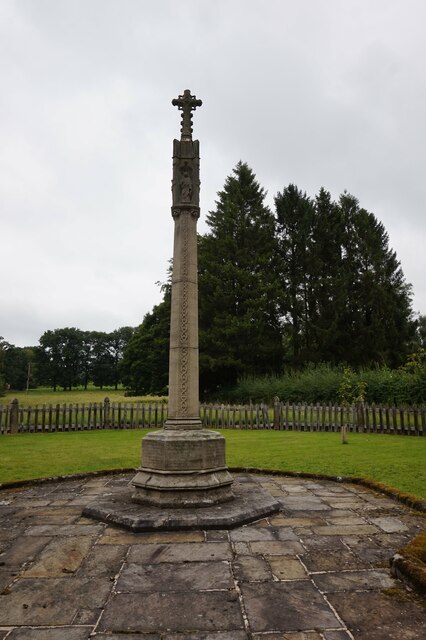
Araucaria Plantation Images
Images are sourced within 2km of 52.988953/-1.7602875 or Grid Reference SK1643. Thanks to Geograph Open Source API. All images are credited.
Araucaria Plantation is located at Grid Ref: SK1643 (Lat: 52.988953, Lng: -1.7602875)
Administrative County: Derbyshire
District: Derbyshire Dales
Police Authority: Derbyshire
What 3 Words
///innovator.makeovers.thrashing. Near Mayfield, Staffordshire
Nearby Locations
Related Wikis

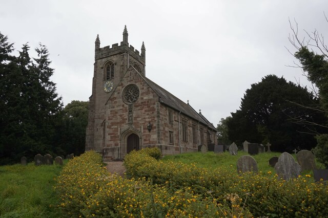
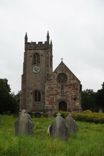
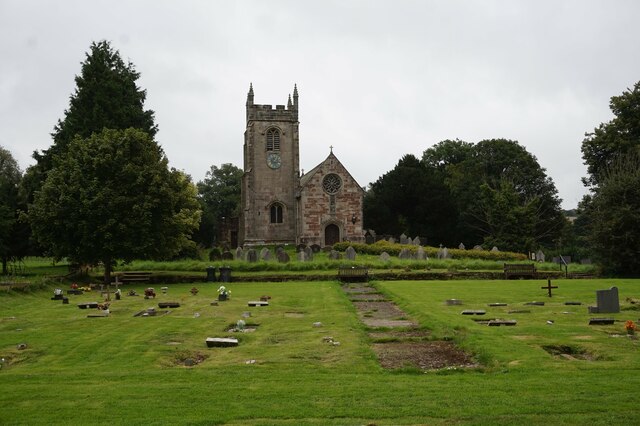
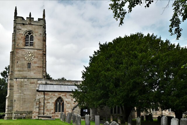
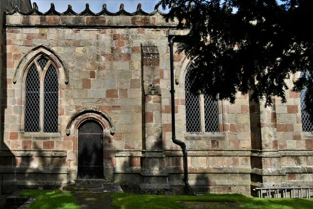
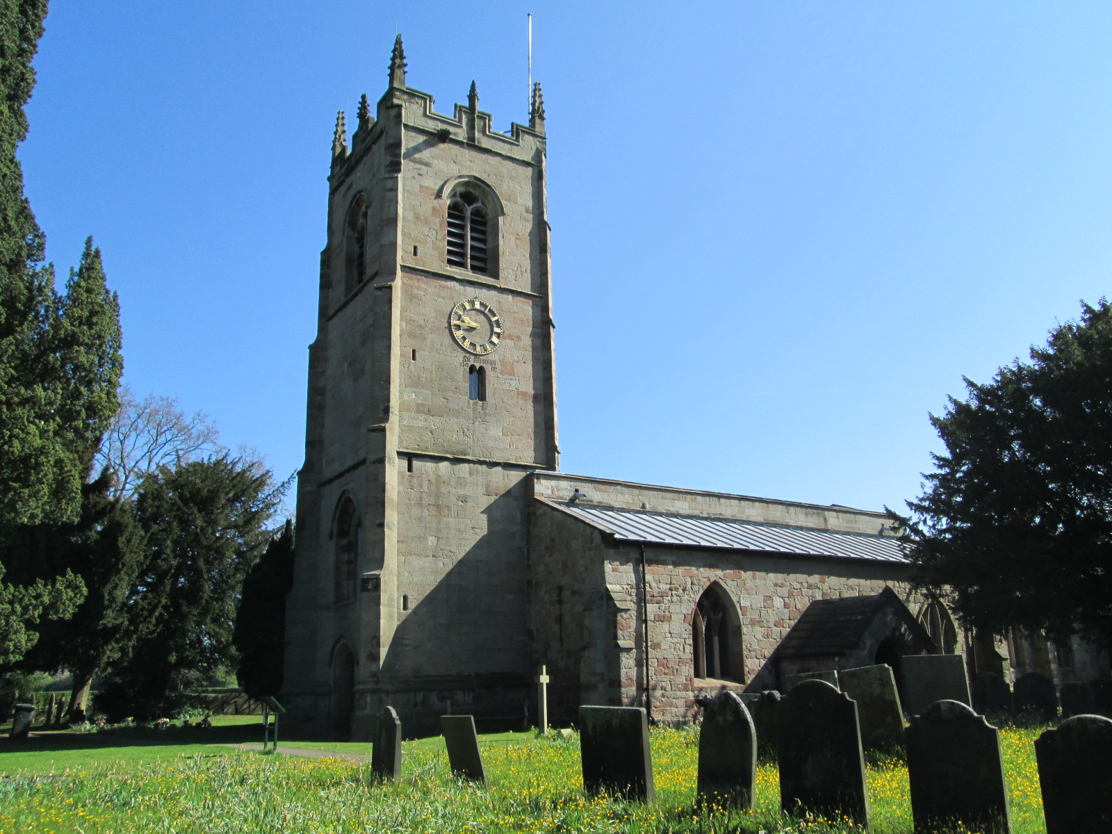
St Peter's Church, Snelston
St Peter's Church, Snelston is a Grade II* listed parish church in the Church of England: 319 in Snelston, Derbyshire. == History == The church dates...

Roston
Roston is a hamlet in Derbyshire, England. It is located north of Rocester. The Roston Inn (known locally as 'The Shant') is at the junction of Mill Lane...
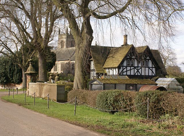
Snelston
Snelston is a village and civil parish three miles south-west of Ashbourne in Derbyshire, England. It includes Anacrehill. The population of the civil...

Henmore Brook
The Henmore Brook or the River Henmore is a tributary of the River Dove in Derbyshire, England, and is 20 km (12 miles) in length.In its upper reaches...

Clifton (Mayfield) railway station
Clifton (Mayfield) railway station was opened on 3 May 1852 by the North Staffordshire Railway at Clifton on the southern fringes of Ashbourne, Derbyshire...

Clifton and Compton
Clifton and Compton is a civil parish within the Derbyshire Dales district, in the county of Derbyshire, England. The parish, despite the name, only includes...

Clifton, Derbyshire
Clifton is a village in the Derbyshire Dales district of Derbyshire, England. The village is situated about 1.2 miles (2 km) south west of Ashbourne,...
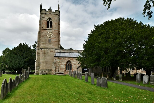
St John the Baptist's Church, Mayfield
St John the Baptist's Church is an Anglican church in the village of Mayfield, Staffordshire, England. It is a Grade I listed building. The core is a Norman...
Nearby Amenities
Located within 500m of 52.988953,-1.7602875Have you been to Araucaria Plantation?
Leave your review of Araucaria Plantation below (or comments, questions and feedback).