Ragged Copse

Wood, Forest in Gloucestershire Cotswold

England

Ragged Copse

Cats Abbey Buildings Self-catering conference centre, with accommodation available for all kinds of groups to hire. <span class="nowrap"><a title="https://www.catsabbey.com/" rel="nofollow ugc noopener" href="https://www.catsabbey.com/">Link</a><img style="margin-left:2px;" alt="External link" title="External link - shift click to open in new window" src="https://s1.geograph.org.uk/img/external.png" width="10" height="10"/></span>
Cats Abbey Buildings Credit: Vieve Forward

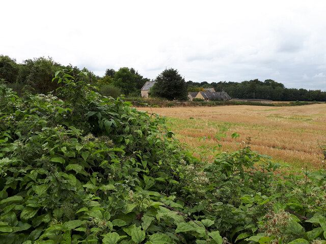
Ragged Copse is a picturesque woodland located in Gloucestershire, England. This charming forest covers an area of approximately 50 acres and is a haven for nature enthusiasts and outdoor adventurers alike.

The copse is known for its ragged appearance, with its dense collection of trees and foliage creating a wild and untamed atmosphere. The woodland primarily consists of deciduous trees, such as oak, beech, and birch, which provide a vibrant display of colors during the autumn months.

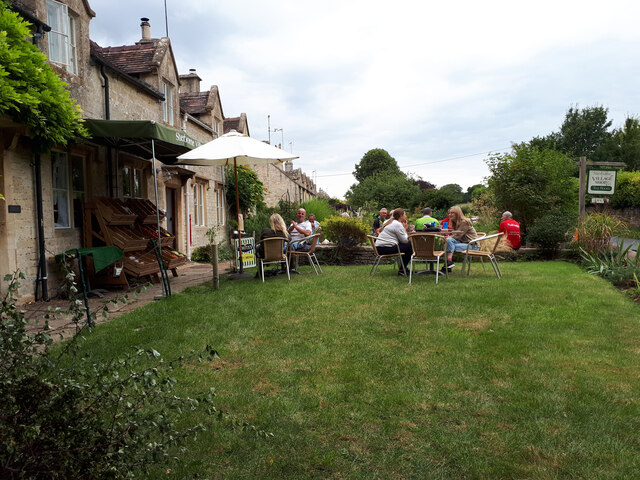
Walking through Ragged Copse, visitors are greeted with a network of well-maintained footpaths that wind their way through the forest. These paths offer a variety of routes, catering to both casual strollers and avid hikers. Along the way, there are numerous benches and picnic spots, perfect for taking in the tranquil surroundings or enjoying a leisurely lunch.

Wildlife thrives within Ragged Copse, with a diverse range of species calling this forest home. Birdwatchers can catch glimpses of woodpeckers, jays, and various songbirds, while lucky visitors may even spot elusive deer or foxes. The copse is also home to a variety of insects, including butterflies and dragonflies, adding to the biodiversity of the area.

Ragged Copse is a popular destination for nature education and conservation initiatives. Local schools often organize field trips to the woodland, allowing children to learn about the importance of forests and the ecosystems they support. Additionally, regular clean-up events are held by local volunteers to maintain the copse's natural beauty and preserve its habitat.

With its rugged charm, diverse wildlife, and educational opportunities, Ragged Copse is a true gem in the Gloucestershire countryside, offering a peaceful retreat for those seeking a connection with nature.

If you have any feedback on the listing, please let us know in the comments section below.
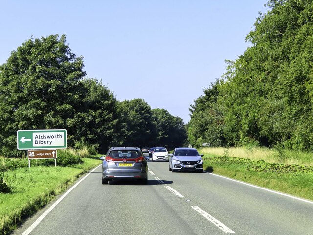
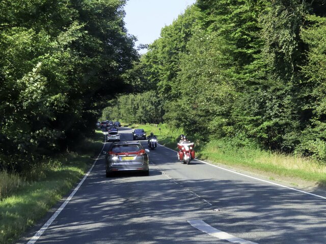
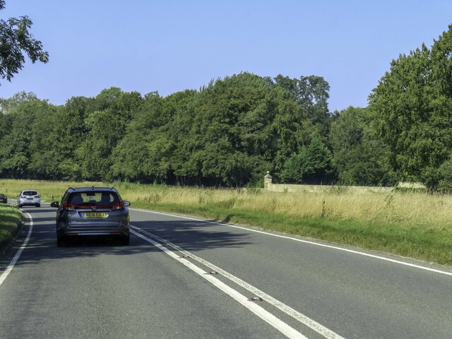
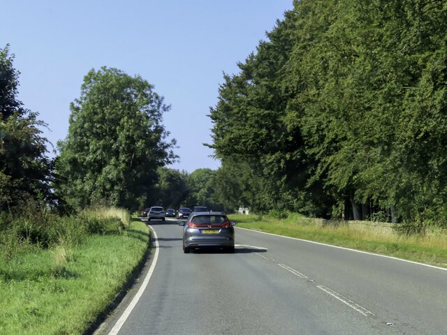
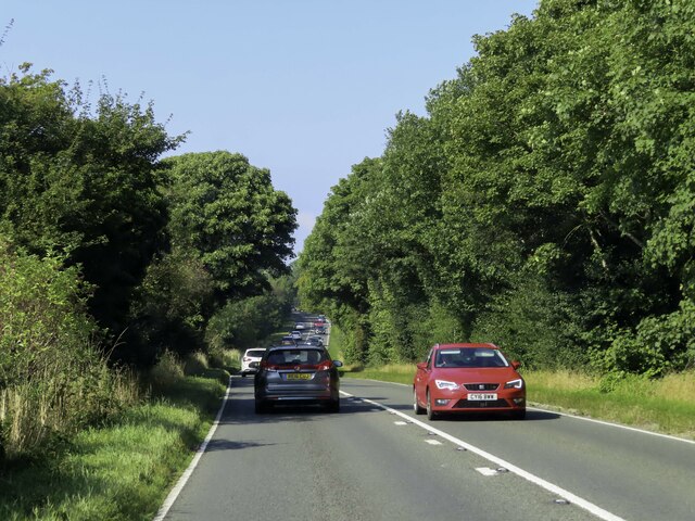
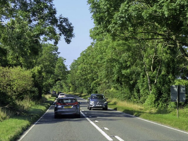
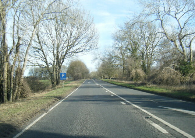
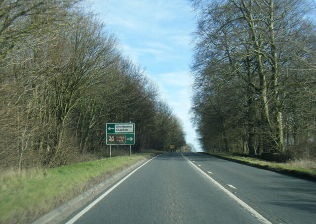
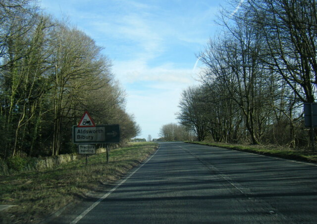
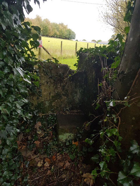
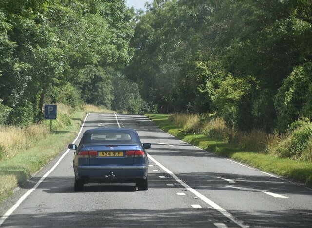
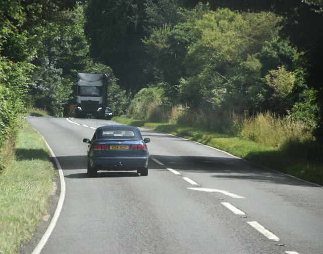
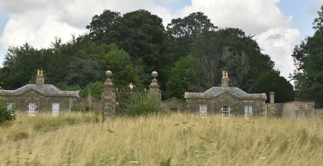
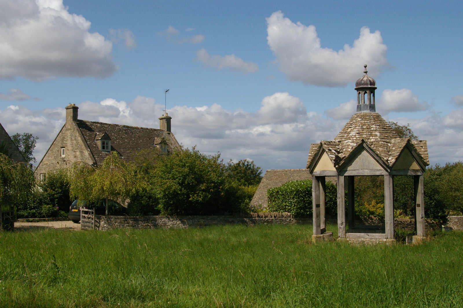
Ragged Copse Images

Images are sourced within 2km of 51.830719/-1.7664495 or Grid Reference SP1614. Thanks to Geograph Open Source API. All images are credited.

Cats Abbey Buildings Self-catering conference centre, with accommodation available for all kinds of groups to hire. <span class="nowrap"><a title="https://www.catsabbey.com/" rel="nofollow ugc noopener" href="https://www.catsabbey.com/">Link</a><img style="margin-left:2px;" alt="External link" title="External link - shift click to open in new window" src="https://s1.geograph.org.uk/img/external.png" width="10" height="10"/></span>
Cats Abbey Buildings
Self-catering conference centre, with accommodation available for all kinds of groups to hire. LinkExternal link
Sherborne Village Shop
RAF Windrush Stanton air raid shelter near Cats Abbey Buildings An outlying Stanton shelter (e37074) relating to RAF Windrush. See also <a href="https://www.geograph.org.uk/photo/6960652">SP1713 : RAF Windrush Stanton air raid shelter near Cats Abbey Buildings</a>.
RAF Windrush Stanton air raid shelter near Cats Abbey Buildings
An outlying Stanton shelter (e37074) relating to RAF Windrush. See also SP1713 : RAF Windrush Stanton air raid shelter near Cats Abbey Buildings.
RAF Windrush Stanton air raid shelter near Cats Abbey Buildings Entrance to Stanton shelter, see also <a href="https://www.geograph.org.uk/photo/6960650">SP1713 : RAF Windrush Stanton air raid shelter near Cats Abbey Buildings</a>.
RAF Windrush Stanton air raid shelter near Cats Abbey Buildings
The A40 heading west near Sherborne
The A40 passes Sherborne Park
The A40 heading west near Sherborne
The A40 heading west near Northleach
A40 near New Barn Farm
A40 eastbound at Beech Strip
A40 eastbound at Aldsworth turn
Stone Stile, Sherborne On the LHS of the entrance to Oranges Farm, on Gloucestershire footpath KSH13, looking SW.
Stone Stile, Sherborne
On the LHS of the entrance to Oranges Farm, on Gloucestershire footpath KSH13, looking SW.
Stone Stile, Sherborne GS2719 Not on a registered footpath, this stile leads to Mairesfield Cops. On the South side of the bridge over Sherborne Brook
Stone Stile, Sherborne GS2719
Not on a registered footpath, this stile leads to Mairesfield Cops. On the South side of the bridge over Sherborne Brook
A40, eastbound The A40 road runs 256 miles from the City of London to Fishguard. It is a major trunk road and runs through High Wycombe, Oxford, Cheltenham, Ross on Wye, Abergavenny, Llandeilo and Carmarthen.
A40, eastbound
The A40 road runs 256 miles from the City of London to Fishguard. It is a major trunk road and runs through High Wycombe, Oxford, Cheltenham, Ross on Wye, Abergavenny, Llandeilo and Carmarthen.
A40, eastbound
A40, eastbound
Cheltenham Lodges Grade II* listed.
Cheltenham Lodges
Grade II* listed.
Show me another place!

Ragged Copse is located at Grid Ref: SP1614 (Lat: 51.830719, Lng: -1.7664495)

Administrative County: Gloucestershire

District: Cotswold

Police Authority: Gloucestershire

What 3 Words

///pounces.flitting.vows. Near Northleach, Gloucestershire

Related Wikis

Sherborne House, Gloucestershire

Sherborne House is a large house in the village of Sherborne, Gloucestershire, England. It is a former country house that has been converted into flats...

Sherborne, Gloucestershire

Sherborne is a village and civil parish almost 3.5 miles (5.6 km) east of Northleach in Gloucestershire. Sherborne is a linear village, extending more...

Church of St Peter, Farmington

The Anglican Church of St Peter at Farmington in the Cotswold District of Gloucestershire, England was built in the 12th century. It is a grade I listed...

Farmington, Gloucestershire

Farmington is a village located in the county of Gloucestershire, in England. As of 2011 the village had 112 residents. It is mentioned in the Domesday...

Lodge Park and Sherborne Estate

Lodge Park was built as a grandstand in the Sherborne Estate near the villages of Sherborne, Aldsworth and Northleach in Gloucestershire, England. The...

Clapton, Gloucestershire

Clapton, also known as Clapton-on-the-Hill, is a small village and civil parish in the district of Cotswold, in the county of Gloucestershire, England...

Church of St Peter, Windrush

The Anglican Church of St Peter at Windrush in the Cotswold District of Gloucestershire, England was built in the 12th century. It is a grade I listed...

RAF Windrush

Royal Air Force Windrush, or more simply RAF Windrush, is a former Royal Air Force satellite station near Windrush, Gloucestershire, England. It was opened...

Nearby Amenities

Located within 500m of 51.830719,-1.7664495
Bus Stop
Ash Hole Road
Bus: yes
Naptan AtcoCode: 1600GLC547
Naptan Bearing: SE
Naptan CommonName: Ash Hole Road
Naptan NaptanCode: glogdwdw
Naptan Street: Main Street
Naptan Verified: no
Public Transport: platform
Source: naptan_import
Lat/Long: 51.8323532/-1.7611709
Bus Stop
Ash Hole Road
Bus: yes
Naptan AtcoCode: 1600GLC548
Naptan Bearing: NW
Naptan CommonName: Ash Hole Road
Naptan Indicator: Opp
Naptan NaptanCode: glogdwdt
Naptan Street: Main Street
Naptan Verified: no
Public Transport: platform
Source: naptan_import
Lat/Long: 51.8322744/-1.7611738
Parking
Ewe Pen Barn
Access: permissive
Capacity: 10
Fee: yes
Operator: National Trust
Operator Type: charitable
Operator Wikidata: Q333515
Lat/Long: 51.82747/-1.7709987
Artwork Type: sculpture
Material: metal
Tourism: artwork
Lat/Long: 51.8302829/-1.7679977
The data included in this document is from www.openstreetmap.org. The data is made available under ODbL.

Have you been to Ragged Copse?

Leave your review of Ragged Copse below (or comments, questions and feedback).