Sherborne

Settlement in Gloucestershire Cotswold

England

Sherborne

Cats Abbey Buildings Self-catering conference centre, with accommodation available for all kinds of groups to hire. <span class="nowrap"><a title="https://www.catsabbey.com/" rel="nofollow ugc noopener" href="https://www.catsabbey.com/">Link</a><img style="margin-left:2px;" alt="External link" title="External link - shift click to open in new window" src="https://s1.geograph.org.uk/img/external.png" width="10" height="10"/></span>
Cats Abbey Buildings Credit: Vieve Forward

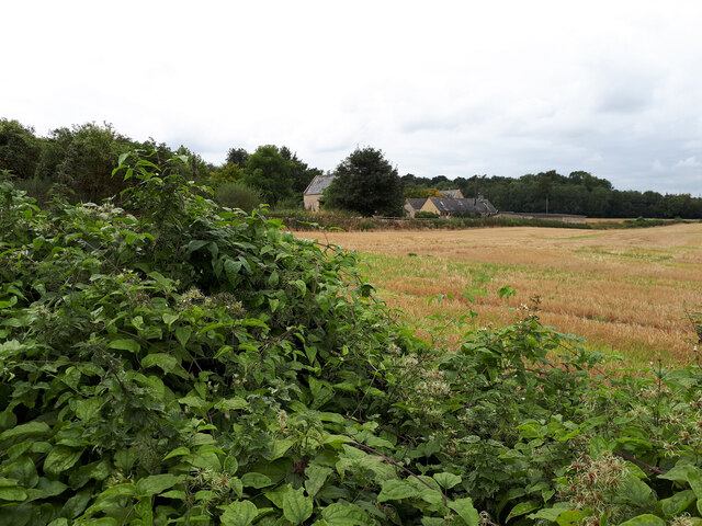
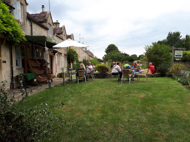
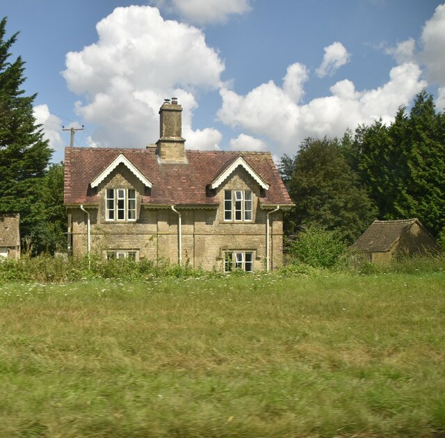
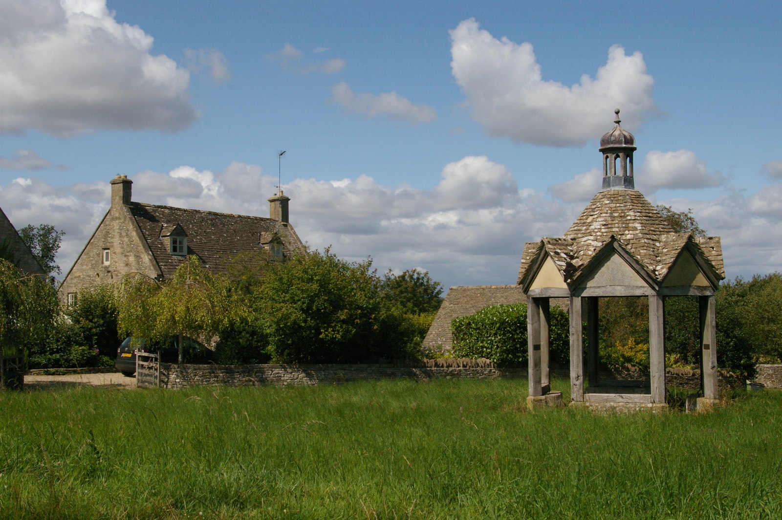
Sherborne is a picturesque village located in the county of Gloucestershire, England. Situated on the banks of the River Windrush, it is surrounded by rolling hills and lush green countryside. The village is known for its charming stone cottages, narrow winding streets, and quaint atmosphere.

With a population of around 500 residents, Sherborne is a small, close-knit community. It boasts a rich history that can be traced back to medieval times, with the remains of a Norman castle still visible today. The village is also home to a beautiful 12th-century church, St. Mary Magdalene, which is a prominent landmark.

Despite its small size, Sherborne offers a range of amenities to its residents and visitors. The village has a local pub, The Sherborne Arms, where one can enjoy a traditional English meal and experience the true village ambiance. Additionally, there is a small village shop that caters to daily needs.

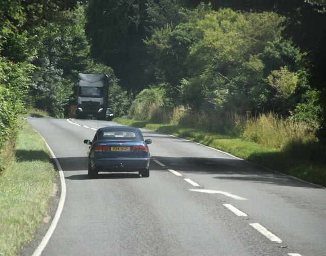
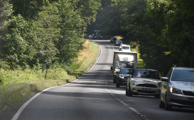
Nature lovers will appreciate the abundance of walking trails and scenic spots in and around Sherborne. The village is located near Cotswolds Area of Outstanding Natural Beauty, providing ample opportunities for outdoor activities such as hiking, cycling, and birdwatching.

Sherborne truly embodies the idyllic English countryside, with its charming architecture, tranquil surroundings, and friendly community. It is a destination that offers a peaceful retreat from the hustle and bustle of city life, allowing visitors to immerse themselves in the beauty of rural England.

If you have any feedback on the listing, please let us know in the comments section below.
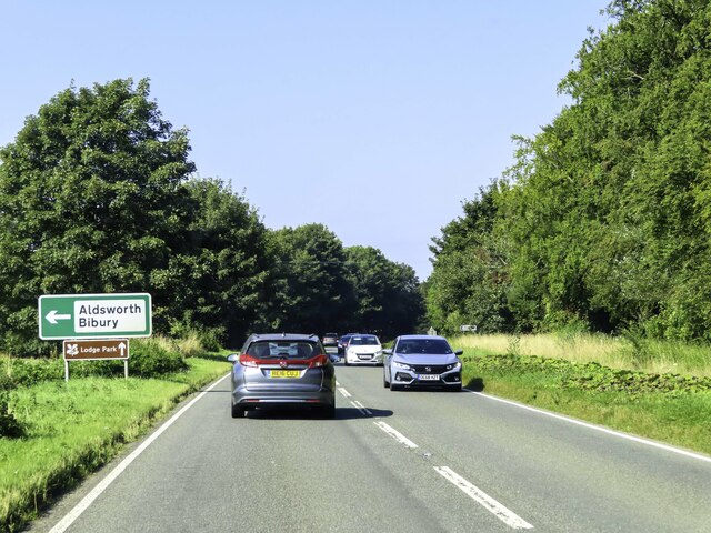
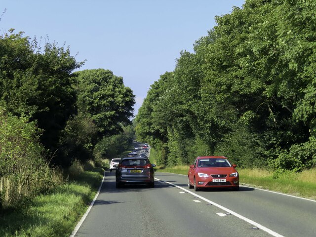
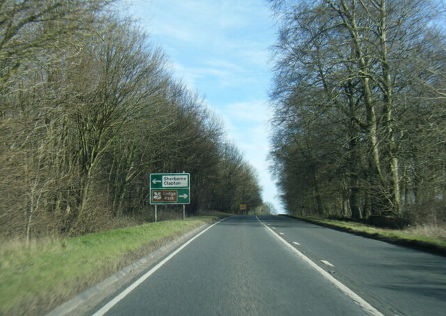
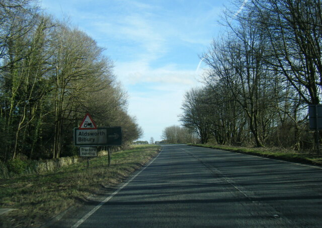
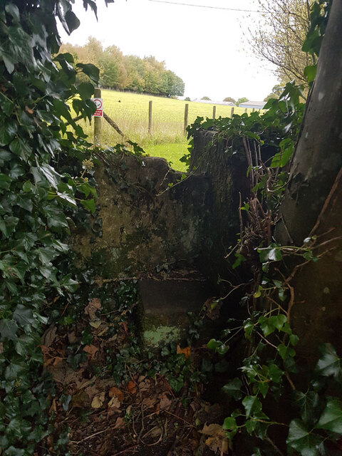
Sherborne Images

Images are sourced within 2km of 51.832462/-1.7615209 or Grid Reference SP1614. Thanks to Geograph Open Source API. All images are credited.

Cats Abbey Buildings Self-catering conference centre, with accommodation available for all kinds of groups to hire. <span class="nowrap"><a title="https://www.catsabbey.com/" rel="nofollow ugc noopener" href="https://www.catsabbey.com/">Link</a><img style="margin-left:2px;" alt="External link" title="External link - shift click to open in new window" src="https://s1.geograph.org.uk/img/external.png" width="10" height="10"/></span>
Cats Abbey Buildings
Self-catering conference centre, with accommodation available for all kinds of groups to hire. LinkExternal link
Sherborne Village Shop
RAF Windrush Stanton air raid shelter near Cats Abbey Buildings An outlying Stanton shelter (e37074) relating to RAF Windrush. See also <a href="https://www.geograph.org.uk/photo/6960652">SP1713 : RAF Windrush Stanton air raid shelter near Cats Abbey Buildings</a>.
RAF Windrush Stanton air raid shelter near Cats Abbey Buildings
An outlying Stanton shelter (e37074) relating to RAF Windrush. See also SP1713 : RAF Windrush Stanton air raid shelter near Cats Abbey Buildings.
RAF Windrush Stanton air raid shelter near Cats Abbey Buildings Entrance to Stanton shelter, see also <a href="https://www.geograph.org.uk/photo/6960650">SP1713 : RAF Windrush Stanton air raid shelter near Cats Abbey Buildings</a>.
RAF Windrush Stanton air raid shelter near Cats Abbey Buildings
The A40 heading west near Sherborne
The A40 passes Sherborne Park
The A40 heading west near Sherborne
A40 eastbound at Beech Strip
A40 eastbound at Aldsworth turn
Stone Stile, Sherborne On the LHS of the entrance to Oranges Farm, on Gloucestershire footpath KSH13, looking SW.
Stone Stile, Sherborne
On the LHS of the entrance to Oranges Farm, on Gloucestershire footpath KSH13, looking SW.
Stone Stile, Sherborne GS2719 Not on a registered footpath, this stile leads to Mairesfield Cops. On the South side of the bridge over Sherborne Brook
Stone Stile, Sherborne GS2719
Not on a registered footpath, this stile leads to Mairesfield Cops. On the South side of the bridge over Sherborne Brook
A40, eastbound
A40, eastbound
Cheltenham Lodges Grade II* listed.
Cheltenham Lodges
Grade II* listed.
A40 at Folly Copse
A40 at Folly Copse
Vincent's Lodge
Vincent's Lodge
Stone Stile, Sherborne Not on a Public Right of Way, on the South side of the Borne Stream and bridge looking to the road.
The view looking West in is <a href="https://www.geograph.org.uk/photo/7621999">SP1714 : Stone Stile, Sherborne</a>.
Stone Stile, Sherborne
Not on a Public Right of Way, on the South side of the Borne Stream and bridge looking to the road. The view looking West in is SP1714 : Stone Stile, Sherborne.
Show me another place!

Sherborne is located at Grid Ref: SP1614 (Lat: 51.832462, Lng: -1.7615209)

Administrative County: Gloucestershire

District: Cotswold

Police Authority: Gloucestershire

What 3 Words

///grafted.matrons.iteration. Near Northleach, Gloucestershire

Related Wikis

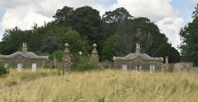
Sherborne House, Gloucestershire

Sherborne House is a large house in the village of Sherborne, Gloucestershire, England. It is a former country house that has been converted into flats...

Sherborne, Gloucestershire

Sherborne is a village and civil parish almost 3.5 miles (5.6 km) east of Northleach in Gloucestershire. Sherborne is a linear village, extending more...

Church of St Peter, Farmington

The Anglican Church of St Peter at Farmington in the Cotswold District of Gloucestershire, England was built in the 12th century. It is a grade I listed...

Farmington, Gloucestershire

Farmington is a village located in the county of Gloucestershire, in England. As of 2011 the village had 112 residents. It is mentioned in the Domesday...

Clapton, Gloucestershire

Clapton, also known as Clapton-on-the-Hill, is a small village and civil parish in the district of Cotswold, in the county of Gloucestershire, England...

Lodge Park and Sherborne Estate

Lodge Park was built as a grandstand in the Sherborne Estate near the villages of Sherborne, Aldsworth and Northleach in Gloucestershire, England. The...

Church of St Peter, Windrush

The Anglican Church of St Peter at Windrush in the Cotswold District of Gloucestershire, England was built in the 12th century. It is a grade I listed...

RAF Windrush

Royal Air Force Windrush, or more simply RAF Windrush, is a former Royal Air Force satellite station near Windrush, Gloucestershire, England. It was opened...

Nearby Amenities

Located within 500m of 51.832462,-1.7615209
Bus Stop
Ash Hole Road
Bus: yes
Naptan AtcoCode: 1600GLC547
Naptan Bearing: SE
Naptan CommonName: Ash Hole Road
Naptan NaptanCode: glogdwdw
Naptan Street: Main Street
Naptan Verified: no
Public Transport: platform
Source: naptan_import
Lat/Long: 51.8323532/-1.7611709
Bus Stop
Ash Hole Road
Bus: yes
Naptan AtcoCode: 1600GLC548
Naptan Bearing: NW
Naptan CommonName: Ash Hole Road
Naptan Indicator: Opp
Naptan NaptanCode: glogdwdt
Naptan Street: Main Street
Naptan Verified: no
Public Transport: platform
Source: naptan_import
Lat/Long: 51.8322744/-1.7611738
Bus Stop
St Mary's Church
Bus: yes
Naptan AtcoCode: 1600GLC549
Naptan Bearing: SE
Naptan CommonName: St Mary's Church
Naptan Indicator: Opp
Naptan NaptanCode: glogdwpt
Naptan Street: Main Street
Naptan Verified: no
Public Transport: platform
Source: naptan_import
Lat/Long: 51.8314433/-1.7553119
Bus Stop
St Mary's Church
Bus: yes
Naptan AtcoCode: 1600GLC550
Naptan Bearing: NW
Naptan CommonName: St Mary's Church
Naptan NaptanCode: glogdwpm
Naptan Street: Main Street
Naptan Verified: no
Public Transport: platform
Source: naptan_import
Lat/Long: 51.8314256/-1.7554281
Barrier: squeeze
Lat/Long: 51.8353657/-1.7636994
Sherborne
Place: village
Lat/Long: 51.8310347/-1.7575228
Turning Circle
Lat/Long: 51.8306425/-1.7568201
The data included in this document is from www.openstreetmap.org. The data is made available under ODbL.

Have you been to Sherborne?

Leave your review of Sherborne below (or comments, questions and feedback).