Gravelpit Covert
Wood, Forest in Derbyshire Derbyshire Dales
England
Gravelpit Covert
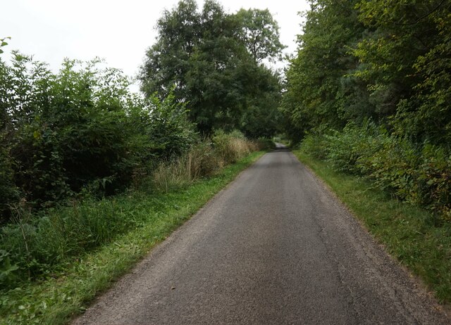
Gravelpit Covert is a picturesque wood located in the county of Derbyshire, England. Situated in the heart of the Peak District National Park, this enchanting forest offers visitors a tranquil escape from the bustling city life.
Covering an area of approximately 100 acres, Gravelpit Covert is known for its diverse range of trees, including oak, beech, and birch. The dense canopy created by these towering giants provides a cool respite during hot summer months and a vibrant display of colors during autumn. The forest floor is adorned with a carpet of bluebells in the spring, creating a stunning sight for nature enthusiasts.
The wood is intersected by a network of well-maintained pathways, allowing visitors to explore its beauty at their own pace. These trails lead to hidden nooks and crannies, providing a sense of adventure and discovery. Additionally, there are several picnic areas scattered throughout the wood, providing the perfect spot for a leisurely lunch amidst nature.
Gravelpit Covert is not only a haven for flora, but also a thriving habitat for wildlife. Birdwatchers can delight in spotting various species, including woodpeckers, owls, and songbirds. Squirrels scurrying up the trees and deer grazing in the distance are a common sight, adding to the charm of this woodland sanctuary.
Overall, Gravelpit Covert is a must-visit destination for nature lovers and those seeking solace in the great outdoors. Its enchanting beauty, rich biodiversity, and peaceful ambiance make it a perfect retreat for individuals and families alike.
If you have any feedback on the listing, please let us know in the comments section below.
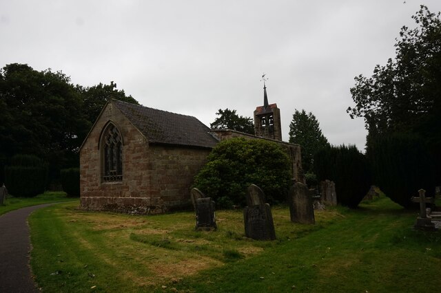
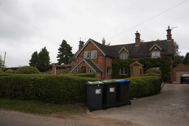
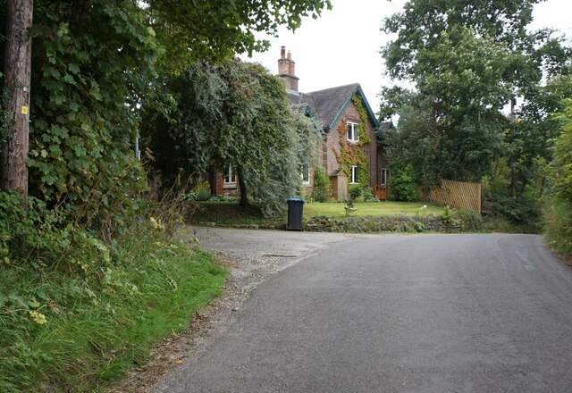
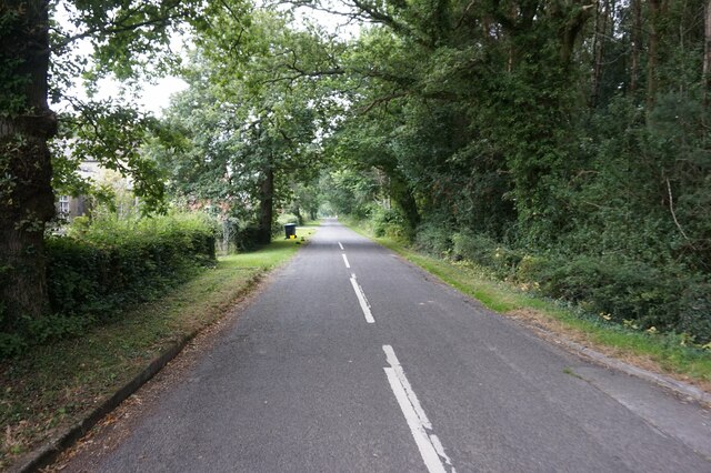
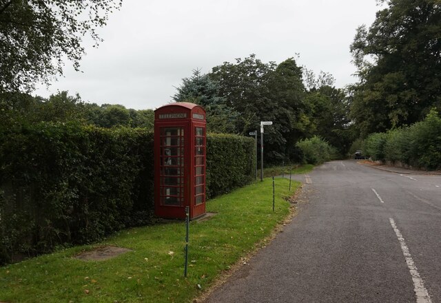
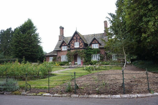
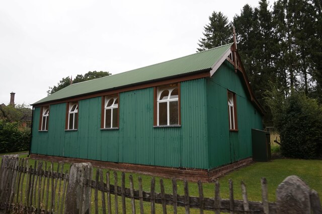
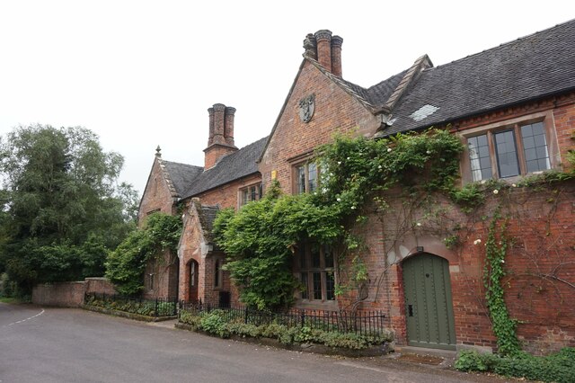
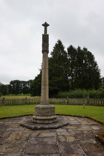
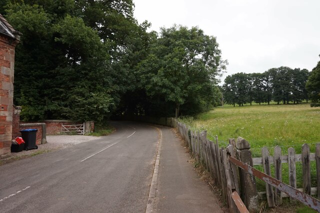
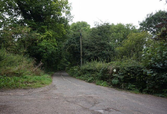
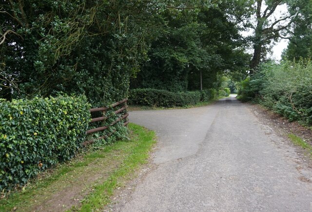
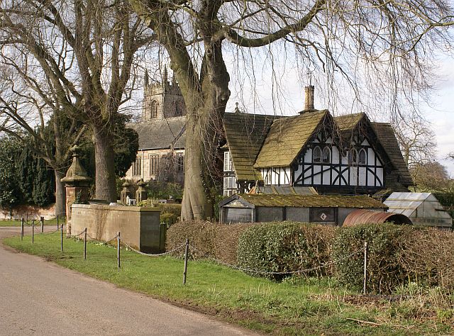
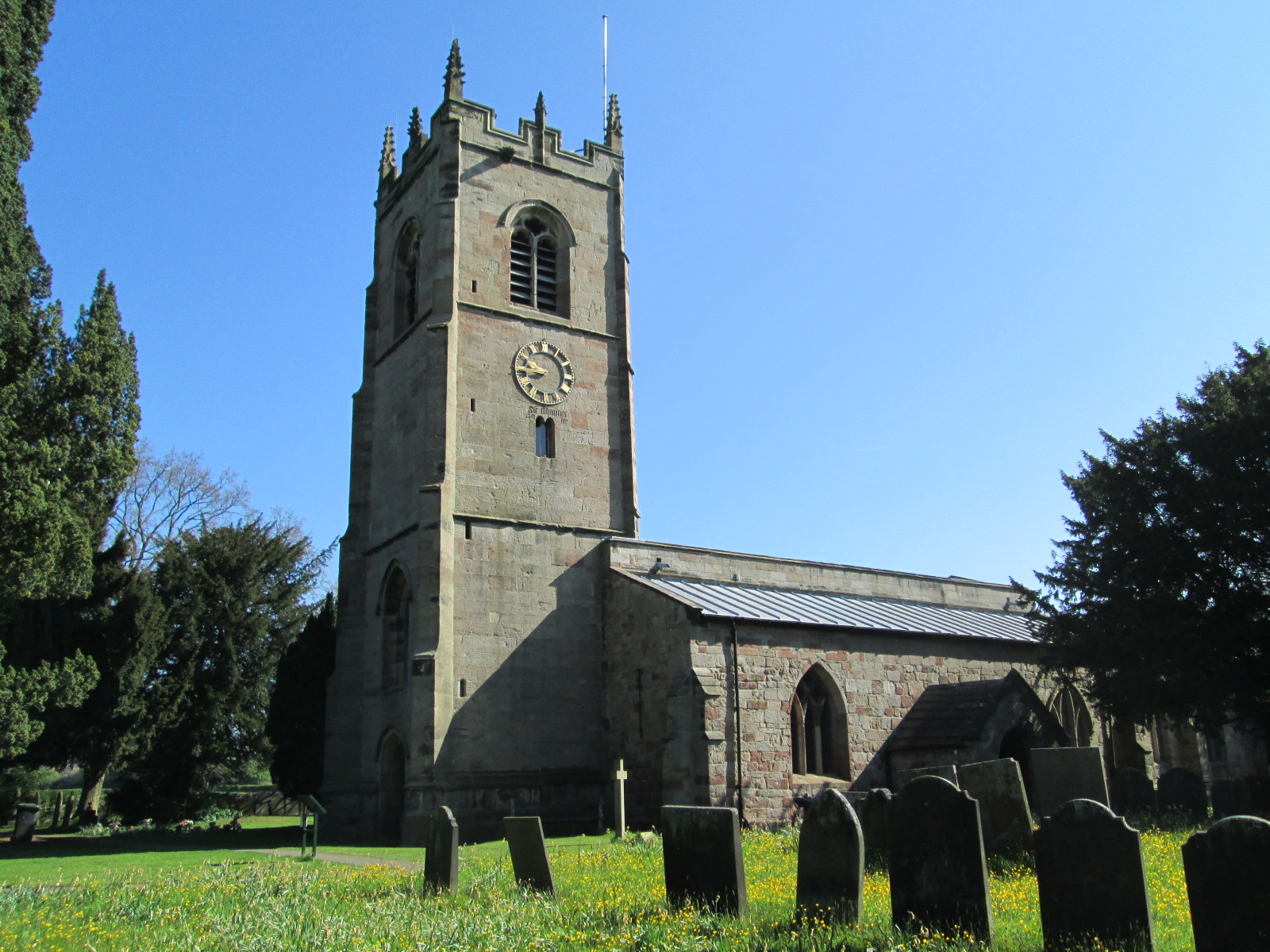
Gravelpit Covert Images
Images are sourced within 2km of 52.989199/-1.75756 or Grid Reference SK1643. Thanks to Geograph Open Source API. All images are credited.


Gravelpit Covert is located at Grid Ref: SK1643 (Lat: 52.989199, Lng: -1.75756)
Administrative County: Derbyshire
District: Derbyshire Dales
Police Authority: Derbyshire
What 3 Words
///noun.diplomat.household. Near Mayfield, Staffordshire
Nearby Locations
Related Wikis

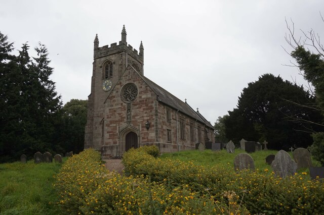
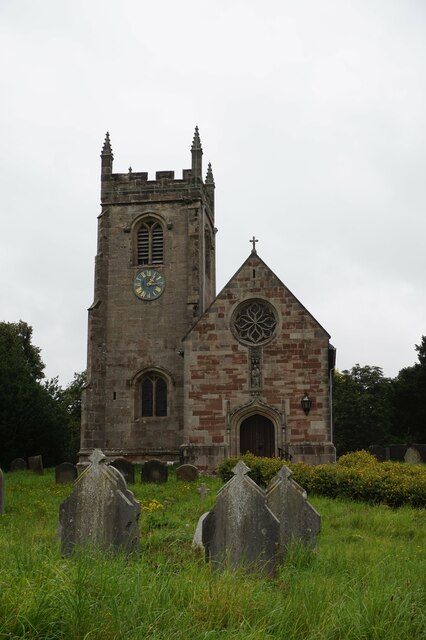
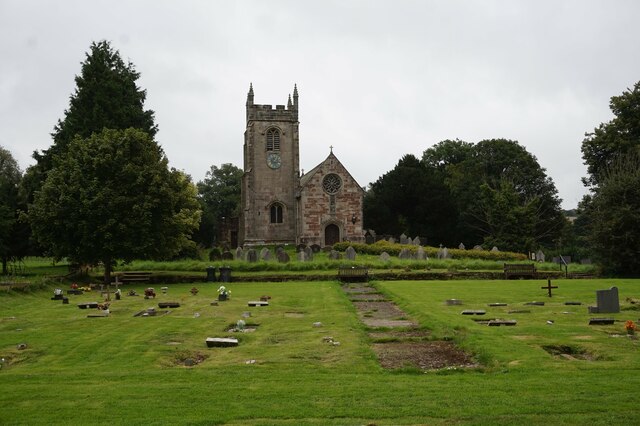
St Peter's Church, Snelston
St Peter's Church, Snelston is a Grade II* listed parish church in the Church of England: 319 in Snelston, Derbyshire. == History == The church dates...

Roston
Roston is a hamlet in Derbyshire, England. It is located north of Rocester. The Roston Inn (known locally as 'The Shant') is at the junction of Mill Lane...

Henmore Brook
The Henmore Brook or the River Henmore is a tributary of the River Dove in Derbyshire, England, and is 20 km (12 miles) in length.In its upper reaches...
Snelston
Snelston is a village and civil parish three miles south-west of Ashbourne in Derbyshire, England. It includes Anacrehill. The population of the civil...

Clifton (Mayfield) railway station
Clifton (Mayfield) railway station was opened on 3 May 1852 by the North Staffordshire Railway at Clifton on the southern fringes of Ashbourne, Derbyshire...

Clifton and Compton
Clifton and Compton is a civil parish within the Derbyshire Dales district, in the county of Derbyshire, England. The parish, despite the name, only includes...

Clifton, Derbyshire
Clifton is a village in the Derbyshire Dales district of Derbyshire, England. The village is situated about 1.2 miles (2 km) south west of Ashbourne,...
St John the Baptist's Church, Mayfield
St John the Baptist's Church is an Anglican church in the village of Mayfield, Staffordshire, England. It is a Grade I listed building. The core is a Norman...
Nearby Amenities
Located within 500m of 52.989199,-1.75756Have you been to Gravelpit Covert?
Leave your review of Gravelpit Covert below (or comments, questions and feedback).