Snelston Park
Downs, Moorland in Derbyshire Derbyshire Dales
England
Snelston Park
Snelston Park is a picturesque estate located in Derbyshire, England, known for its stunning natural beauty and diverse landscape. Situated amidst the rolling hills and verdant countryside, it offers a unique blend of downs and moorland that attracts nature lovers and outdoor enthusiasts alike.
Covering an expansive area of approximately 500 acres, Snelston Park boasts a rich tapestry of flora and fauna, making it a haven for wildlife. The park is home to a variety of indigenous species, including rare plants, birds, and mammals, making it an ideal destination for nature enthusiasts and birdwatchers.
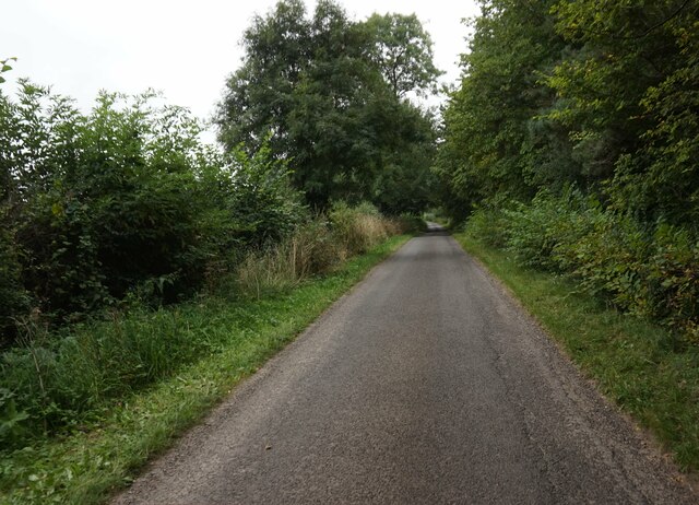
The park's downs provide visitors with breathtaking panoramic views of the surrounding countryside, with gentle slopes and grassy expanses that are perfect for picnicking, leisurely walks, or even kite flying. The downs are also a popular spot for photography enthusiasts, who capture the stunning vistas and changing colors of the landscape.
In contrast, the moorland areas of Snelston Park offer a wilder and more rugged experience. With their heather-clad hills, rocky outcrops, and glistening streams, they provide a natural habitat for various species of wildlife adapted to these harsher conditions. Hikers and adventure seekers often explore the moorland trails, enjoying the sense of solitude and the opportunity to witness the raw beauty of nature up close.
Snelston Park also offers facilities for outdoor activities, including designated walking paths, cycling routes, and picnic areas. The park is open to the public throughout the year, and its idyllic setting and natural wonders make it a popular destination for locals and tourists seeking a peaceful retreat in the heart of Derbyshire.
If you have any feedback on the listing, please let us know in the comments section below.
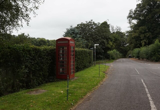
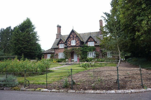
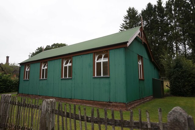
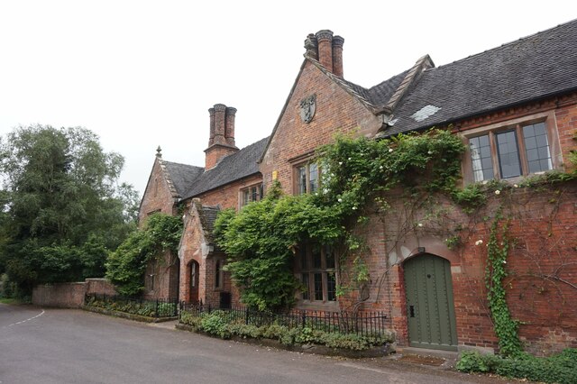
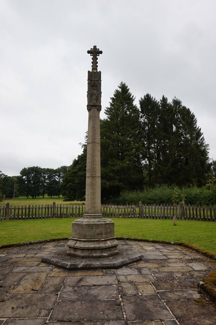
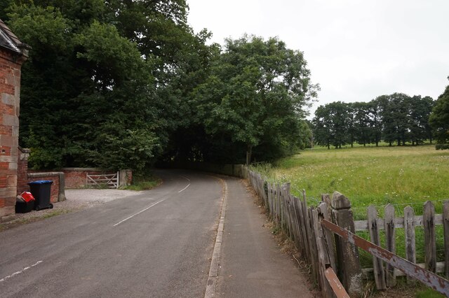
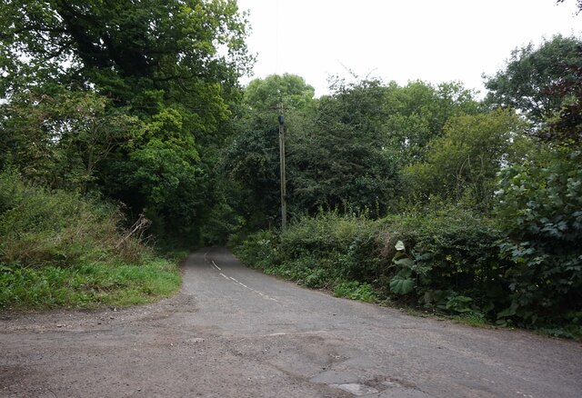
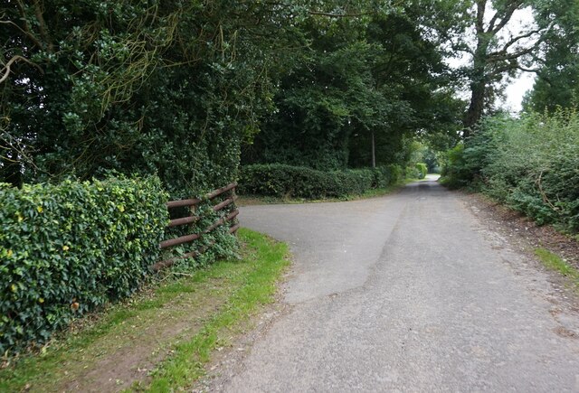
Snelston Park Images
Images are sourced within 2km of 52.986723/-1.7596146 or Grid Reference SK1643. Thanks to Geograph Open Source API. All images are credited.


Snelston Park is located at Grid Ref: SK1643 (Lat: 52.986723, Lng: -1.7596146)
Administrative County: Derbyshire
District: Derbyshire Dales
Police Authority: Derbyshire
What 3 Words
///flux.constants.overdone. Near Mayfield, Staffordshire
Nearby Locations
Related Wikis

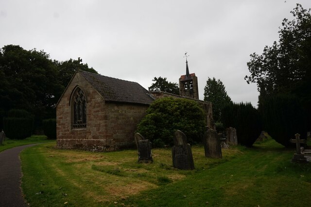
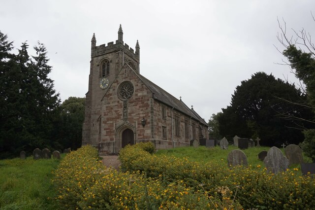
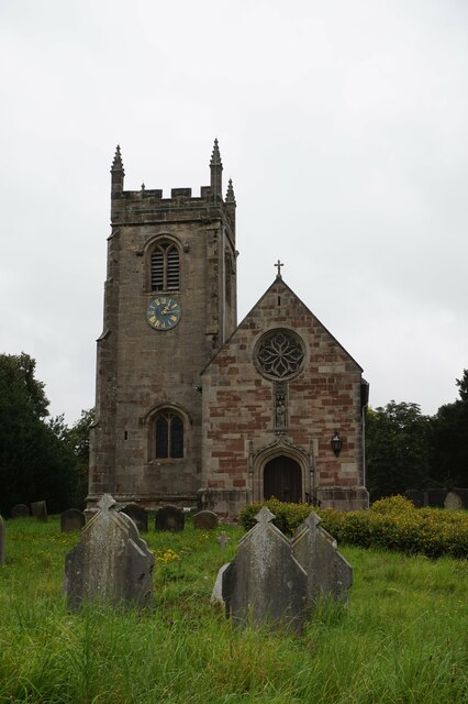
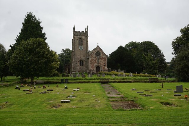
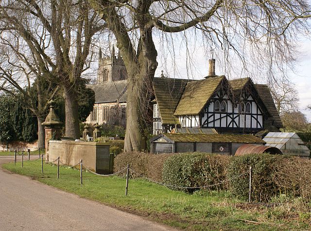
St Peter's Church, Snelston
St Peter's Church, Snelston is a Grade II* listed parish church in the Church of England: 319 in Snelston, Derbyshire. == History == The church dates...

Roston
Roston is a hamlet in Derbyshire, England. It is located north of Rocester. The Roston Inn (known locally as 'The Shant') is at the junction of Mill Lane...
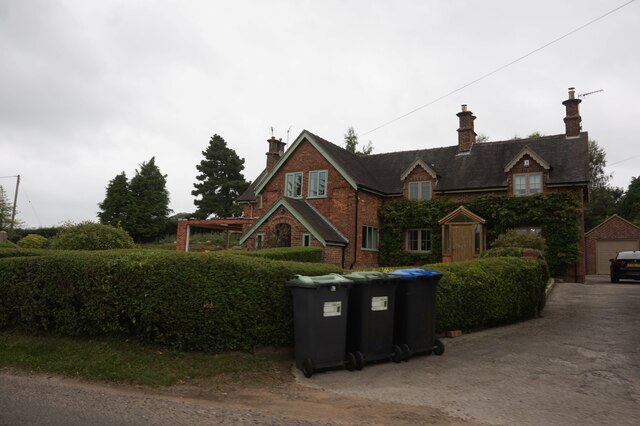
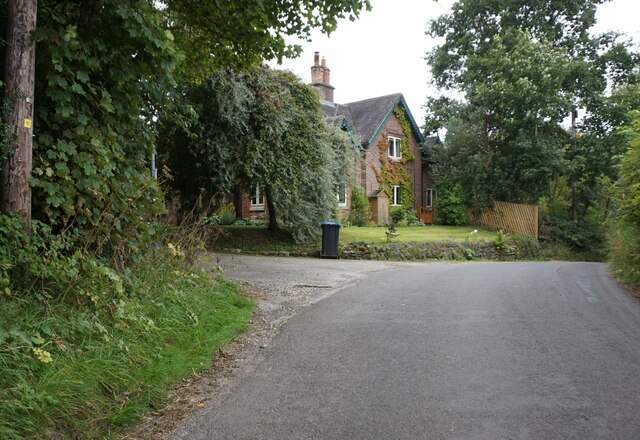
Snelston
Snelston is a village and civil parish three miles south-west of Ashbourne in Derbyshire, England. It includes Anacrehill. The population of the civil...

Anacrehill
Anacrehill is an area of Snelston parish, to the south of the village. The area contains a small number of cottages and farmhouses located on Virginsalley...

Henmore Brook
The Henmore Brook or the River Henmore is a tributary of the River Dove in Derbyshire, England, and is 20 km (12 miles) in length.In its upper reaches...

Clifton (Mayfield) railway station
Clifton (Mayfield) railway station was opened on 3 May 1852 by the North Staffordshire Railway at Clifton on the southern fringes of Ashbourne, Derbyshire...

Clifton and Compton
Clifton and Compton is a civil parish within the Derbyshire Dales district, in the county of Derbyshire, England. The parish, despite the name, only includes...

Clifton, Derbyshire
Clifton is a village in the Derbyshire Dales district of Derbyshire, England. The village is situated about 1.2 miles (2 km) south west of Ashbourne,...
Nearby Amenities
Located within 500m of 52.986723,-1.7596146Have you been to Snelston Park?
Leave your review of Snelston Park below (or comments, questions and feedback).