Brownieside

Settlement in Northumberland

England

Brownieside

Storage Tank in a Field near Ellingham Yara Chafer storage tank for liquid fertiliser.
Storage Tank in a Field near Ellingham Credit: David Dixon

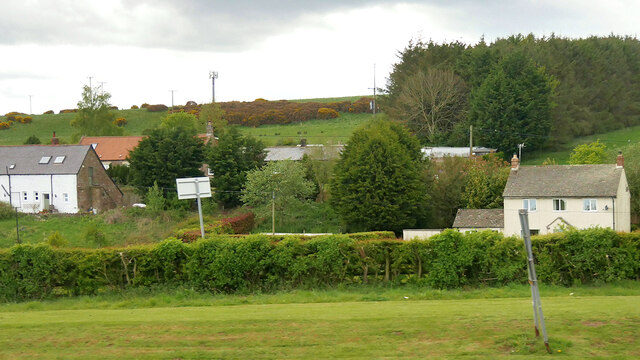
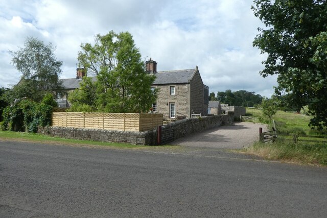
Brownieside is a quaint village located in the county of Northumberland, in the northeast region of England. Situated amidst rolling hills and picturesque countryside, the village offers a peaceful and idyllic setting for residents and visitors alike. With a population of around 200, Brownieside retains its small, close-knit community feel.

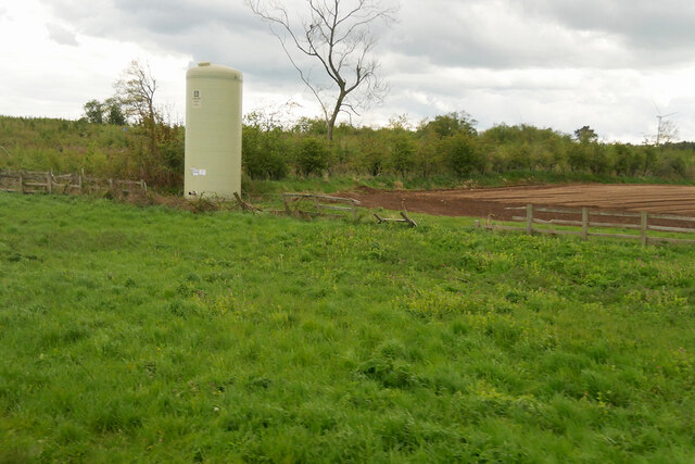
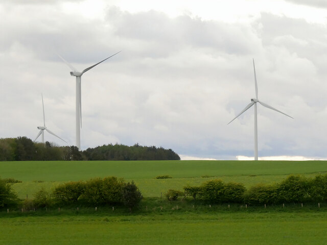
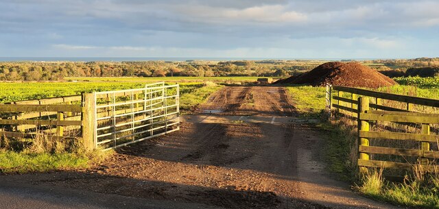
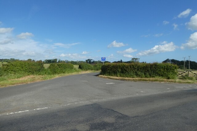
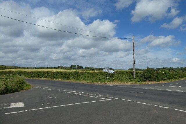
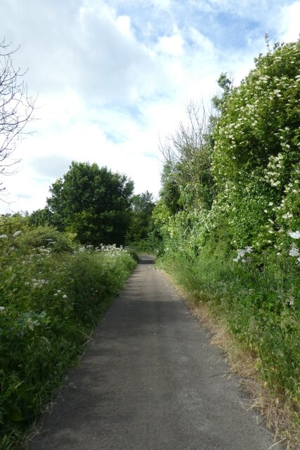
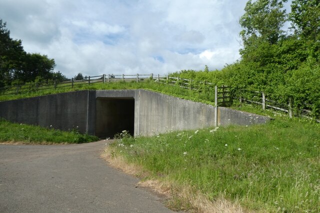
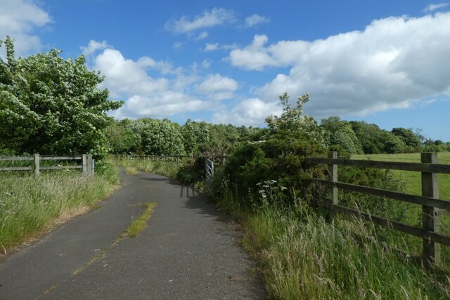
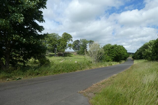
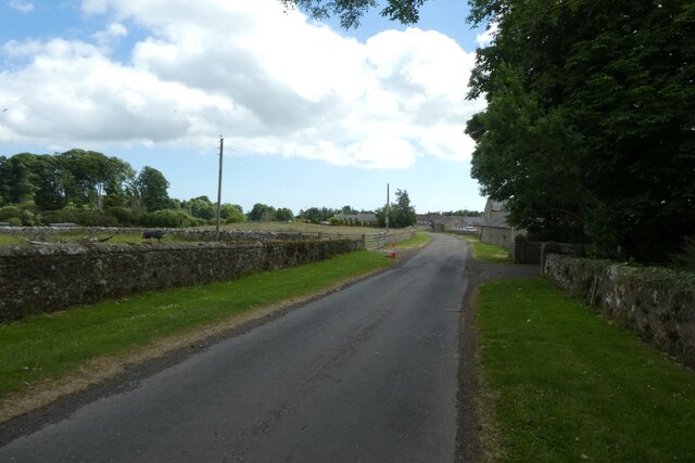
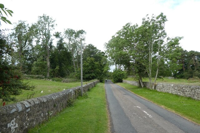
The village is renowned for its stunning natural beauty, with lush green fields, meandering streams, and ancient woodlands surrounding the area. It is a haven for nature lovers and outdoor enthusiasts, who can enjoy leisurely walks along the numerous footpaths and trails that crisscross the countryside.

Despite its rural charm, Brownieside is conveniently located near major road networks, making it easily accessible from nearby towns and cities. The bustling market town of Alnwick is just a short drive away, offering a range of amenities including shops, restaurants, and leisure facilities.

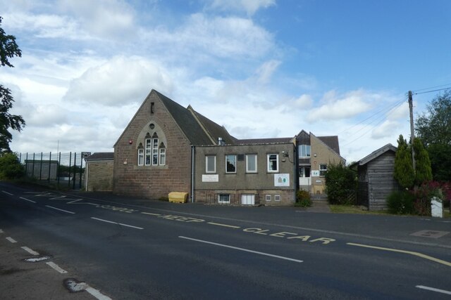
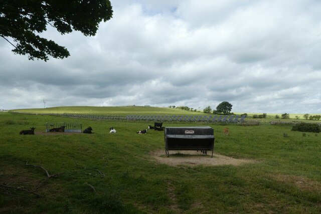
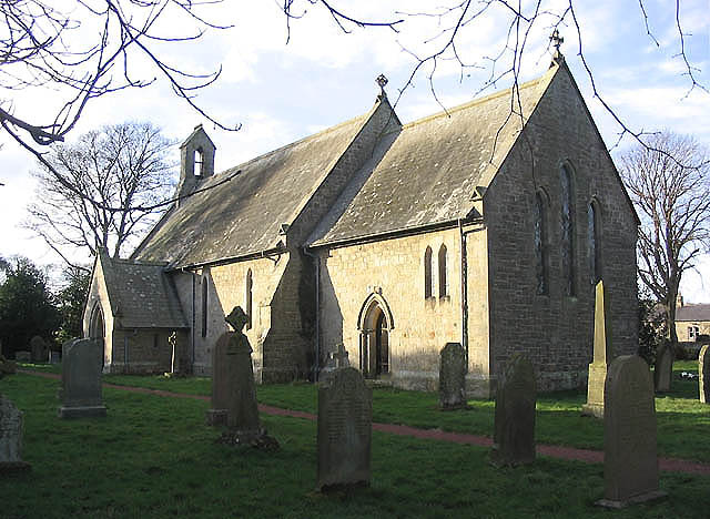
Historically, Brownieside has strong connections to agriculture, and many of the village's buildings and barns still reflect this heritage. The village also boasts a beautiful 12th-century church, adding to its historical appeal.

While Brownieside may be small, it has a vibrant community spirit. The village hosts various events throughout the year, such as summer fetes and Christmas markets, bringing residents together and fostering a sense of camaraderie.

Overall, Brownieside is a charming rural village in Northumberland, offering a tranquil retreat from the bustling city life. Its natural beauty, strong community spirit, and convenient location make it a desirable place to live or visit for those seeking a slice of countryside paradise.

If you have any feedback on the listing, please let us know in the comments section below.

Brownieside Images

Images are sourced within 2km of 55.506938/-1.7394176 or Grid Reference NU1623. Thanks to Geograph Open Source API. All images are credited.

Storage Tank in a Field near Ellingham Yara Chafer storage tank for liquid fertiliser.
Storage Tank in a Field near Ellingham
Yara Chafer storage tank for liquid fertiliser.
Fields to the west of the A1 near  Brownieside
Fields to the west of the A1 near Brownieside
Houses at Brownieside Brownieside is a hamlet located on the A1 about 7 miles north of Alnwick.
Houses at Brownieside
Brownieside is a hamlet located on the A1 about 7 miles north of Alnwick.
Wind Turbines, North Charlton Moor
North Charlton, Northumberland Looking southeast over farmland to the southwest of North Charlton, the coast can be seen in the far distance.
North Charlton, Northumberland
Looking southeast over farmland to the southwest of North Charlton, the coast can be seen in the far distance.
Linkhall Moor, Northumberland From the vicinity of Moor Edge Plantation looking towards wind turbines on Linkhall Moor.
Linkhall Moor, Northumberland
From the vicinity of Moor Edge Plantation looking towards wind turbines on Linkhall Moor.
Ellingham Primary School Looking towards the Church of England Primary School in the village.
Ellingham Primary School
Looking towards the Church of England Primary School in the village.
Road to Ellingham Looking along the road heading north to Ellingham from the road between Preston Tower and the A1.
Road to Ellingham
Looking along the road heading north to Ellingham from the road between Preston Tower and the A1.
Crossroads south of Ellingham Ahead is to the A1, right to Ellingham, far right to Preston Tower and left to Tynely.
Crossroads south of Ellingham
Ahead is to the A1, right to Ellingham, far right to Preston Tower and left to Tynely.
Bridleway near the A1 This path runs to meet the A1 near North Charlton where there is an underbridge.
Bridleway near the A1
This path runs to meet the A1 near North Charlton where there is an underbridge.
A1 underbridge Looking towards a tunnel which passes underneath the A1 to reach North Charlton.
A1 underbridge
Looking towards a tunnel which passes underneath the A1 to reach North Charlton.
Bridleway north towards Ellingham Looking along the path heading north from beside the A1 where there is an underpass.
Bridleway north towards Ellingham
Looking along the path heading north from beside the A1 where there is an underpass.
Charlton Bridge Looking along the road beside the A1 heading north from North Charlton.
Charlton Bridge
Looking along the road beside the A1 heading north from North Charlton.
Cottages in North Charlton Looking across the road from the track to the A1 underpass.
Cottages in North Charlton
Looking across the road from the track to the A1 underpass.
North Charlton Looking along the road leading towards Chillingham.
North Charlton
Looking along the road leading towards Chillingham.
Road through North Charlton Looking through the village which is situated beside the A1.
Road through North Charlton
Looking through the village which is situated beside the A1.
Road west from North Charlton Leading towards Chillingham.
Road west from North Charlton
Leading towards Chillingham.
Cattle near North Charlton Looking across farmland to the west of the village.
Cattle near North Charlton
Looking across farmland to the west of the village.
Show me another place!

Brownieside is located at Grid Ref: NU1623 (Lat: 55.506938, Lng: -1.7394176)

Unitary Authority: Northumberland

Police Authority: Northumbria

What 3 Words

///idealist.reservoir.graphic. Near Ellingham, Northumberland

Related Wikis

Brownieside

Brownieside is a hamlet in Northumberland, in England. It is situated between Alnwick and Berwick-upon-Tweed, on the A1 a short distance to the north of...
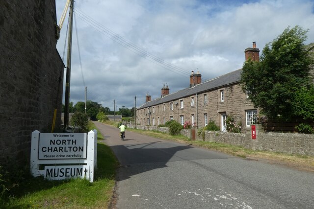
North Charlton

North Charlton is a hamlet and former civil parish, now in the parish of Eglingham, in Northumberland, England. It is situated between Alnwick and Berwick...

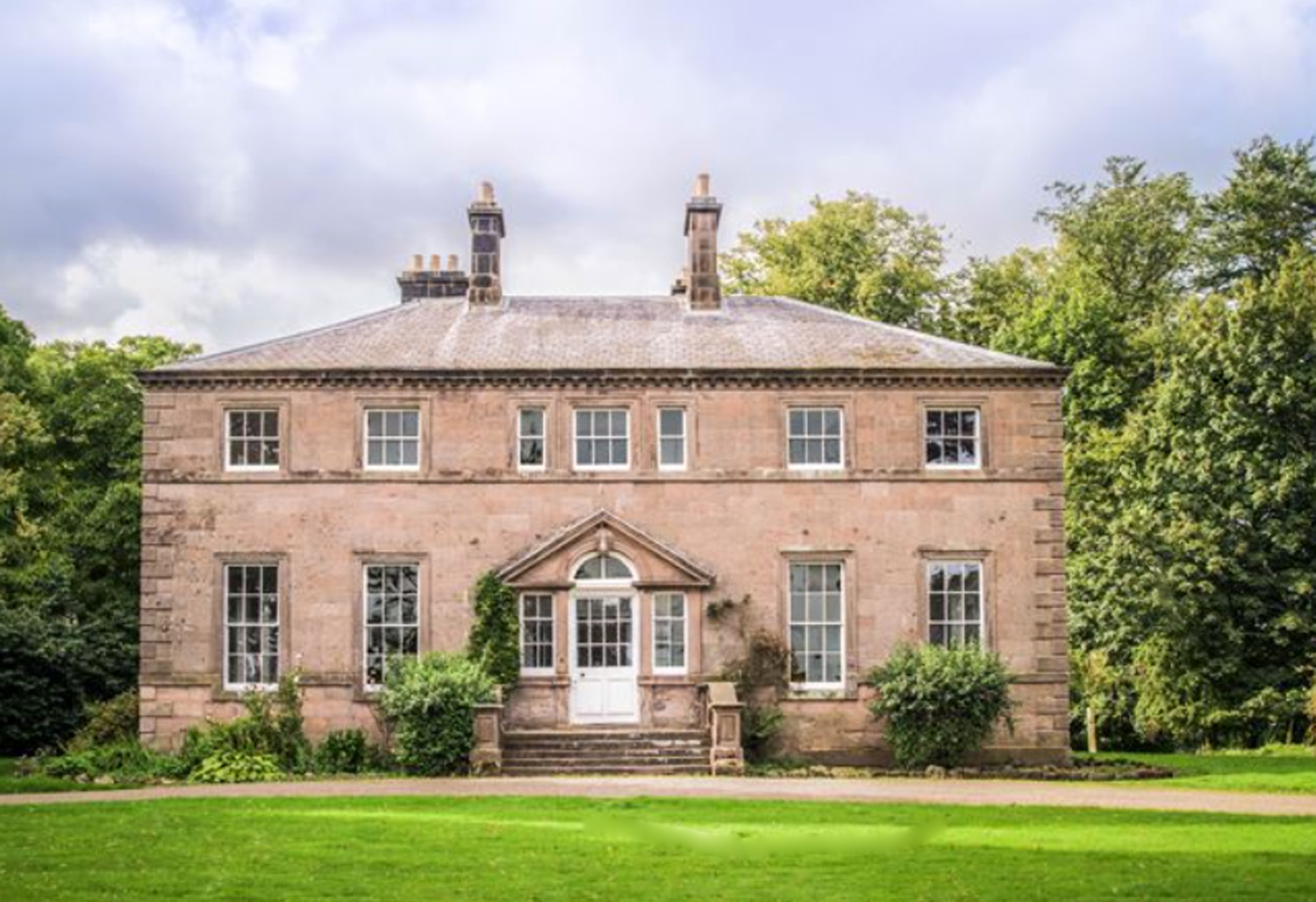
Charlton Hall, Northumberland

Charlton Hall near Ellingham, Northumberland is a building of historical significance and is listed Grade II* on the English Heritage Register. It was...

Ellingham, Northumberland

Ellingham is a civil parish in Northumberland, England. The population taken at the 2001 Census was 282, increasing slightly to 288 at the 2011 Census...

Preston Tower, Northumberland

Preston Tower is a fourteenth-century pele tower in Preston, Northumberland, England built in 1392. The tower is now a private museum. == References... ==

Chathill

Chathill is a hamlet and former civil parish, now in the parish of Ellingham, in Northumberland, England. It is about 9 miles (14 km) north of Alnwick...

South Charlton

South Charlton is a small village and former civil parish, now in the parish of Eglingham, in the county of Northumberland, England, five miles (8 km)...

Chathill railway station

Chathill is a railway station on the East Coast Main Line, which runs between London King's Cross and Edinburgh Waverley. The station, situated 46 miles...

Nearby Amenities

Located within 500m of 55.506938,-1.7394176
Tynely Moor
Place: locality
Lat/Long: 55.5060019/-1.746601
Power: pole
Lat/Long: 55.5040385/-1.7443096
Power: pole
Lat/Long: 55.5043726/-1.7430929
Man Made: tower
Tower Type: communication
Lat/Long: 55.5044673/-1.7444329
Power: pole
Lat/Long: 55.5048155/-1.7391578
Power: pole
Lat/Long: 55.504853/-1.7398921
Power: pole
Lat/Long: 55.5049103/-1.7411362
Power: pole
Lat/Long: 55.5050058/-1.7422246
Man Made: tower
Tower Type: communication
Lat/Long: 55.5050346/-1.7445494
Bus Stop
Bench: no
Bus: yes
Public Transport: platform
Shelter: no
Lat/Long: 55.5065559/-1.7374784
Bus Stop
Bus: yes
Public Transport: platform
Lat/Long: 55.5080508/-1.7390173
The data included in this document is from www.openstreetmap.org. The data is made available under ODbL.

Have you been to Brownieside?

Leave your review of Brownieside below (or comments, questions and feedback).