Brownhills West
Settlement in Staffordshire
England
Brownhills West
Brownhills West is a small town located in Staffordshire, England. Situated on the edge of Cannock Chase, it is part of the wider Brownhills area and falls within the district of Walsall. With a population of approximately 7,000 residents, it is characterized by a mix of residential, industrial, and commercial areas.
Historically, Brownhills West was a thriving mining community, with coal mining being a significant industry in the area. However, in recent years, the mining industry has declined, and the town has transitioned towards a more diverse economic base. Today, it is home to a variety of businesses, including retail shops, restaurants, and service providers.
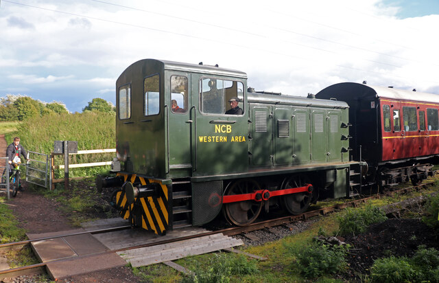
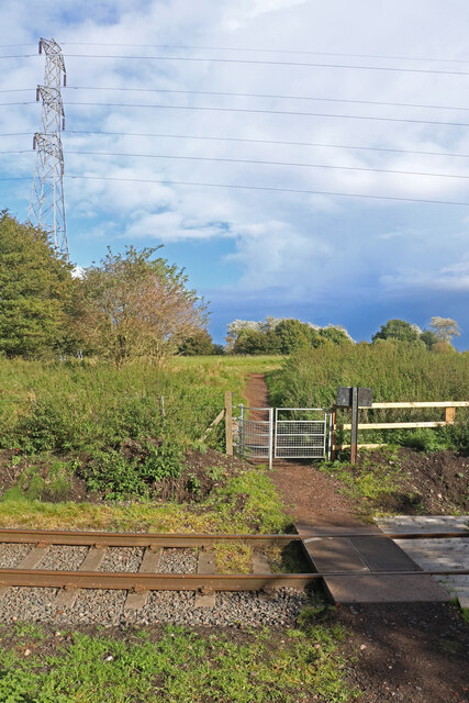
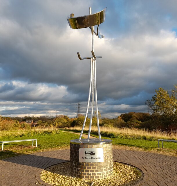
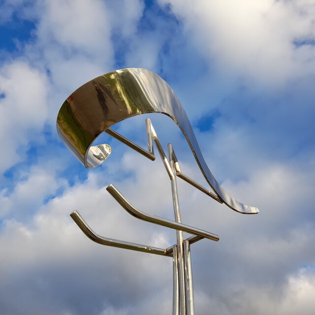
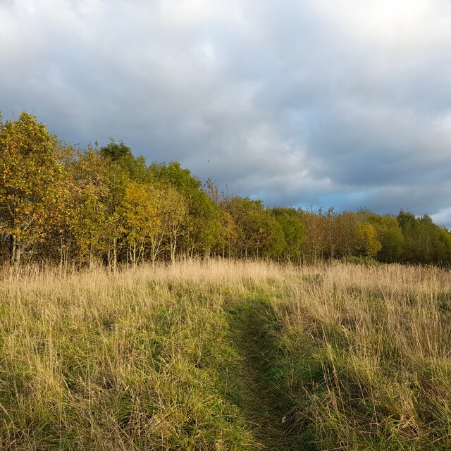
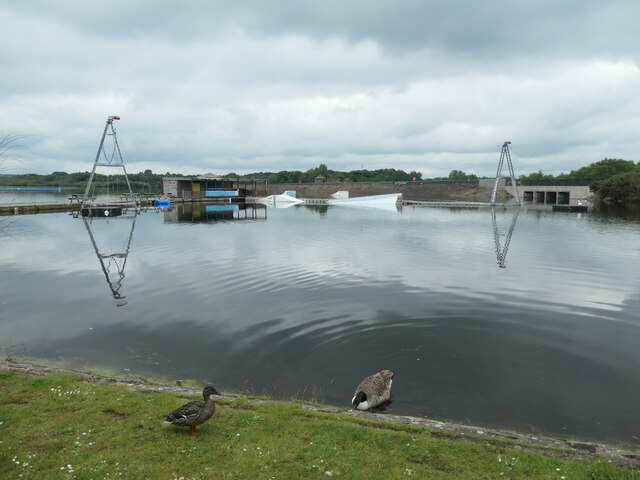
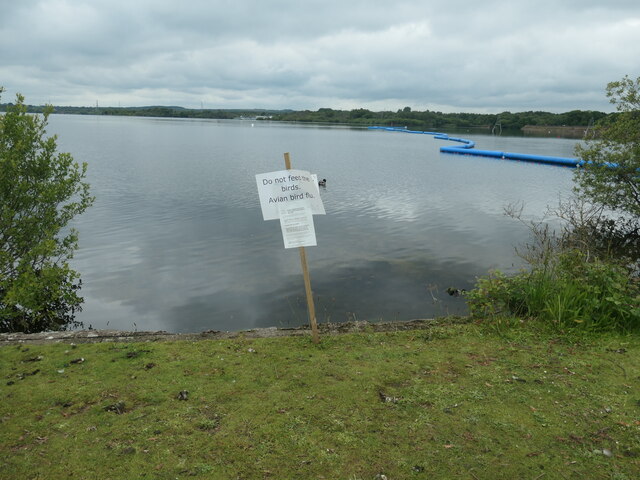
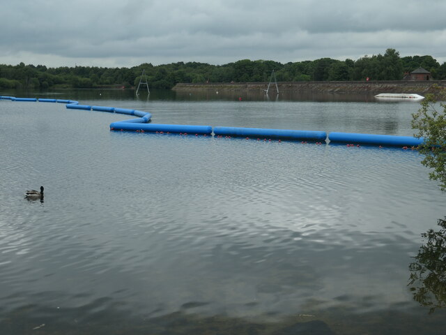
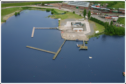
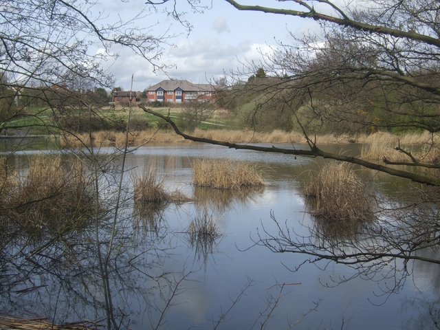
The town benefits from its proximity to Cannock Chase, an Area of Outstanding Natural Beauty. This provides residents and visitors with ample opportunities for outdoor activities such as walking, cycling, and horse riding. The nearby Chasewater Country Park is also a popular attraction, offering a range of recreational facilities, including a reservoir for water sports and a heritage railway.
Brownhills West has a range of amenities and services, including schools, healthcare facilities, and community centers. The town is well connected to surrounding areas through a network of roads and public transportation, making it easily accessible for commuters and visitors.
Overall, Brownhills West offers a mix of industrial heritage, natural beauty, and modern amenities, making it an attractive place to live, work, and visit in Staffordshire.
If you have any feedback on the listing, please let us know in the comments section below.
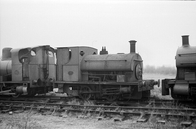
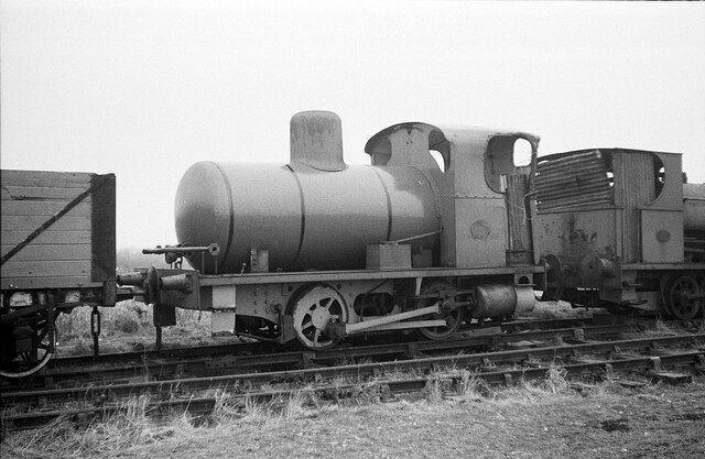
Brownhills West Images
Images are sourced within 2km of 52.659074/-1.9501787 or Grid Reference SK0306. Thanks to Geograph Open Source API. All images are credited.


Brownhills West is located at Grid Ref: SK0306 (Lat: 52.659074, Lng: -1.9501787)
Unitary Authority: Walsall
Police Authority: West Midlands
What 3 Words
///impaled.yacht.sake. Near Norton Canes, Staffordshire
Nearby Locations
Related Wikis

Brownhills West
Brownhills West is a suburban village of Brownhills in the Walsall Metropolitan Borough and forms part of the border of the West Midlands and Staffordshire...
Chasewater Watersports Centre
Chasewater Watersports Centre is located within the surroundings of Chasewater Country Park and use Chasewater reservoir for watersports. The chasewater...
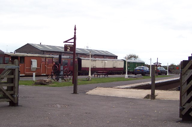
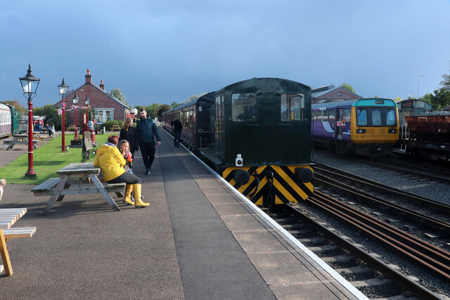
Brownhills West railway station
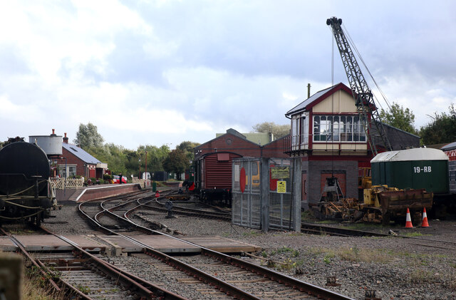
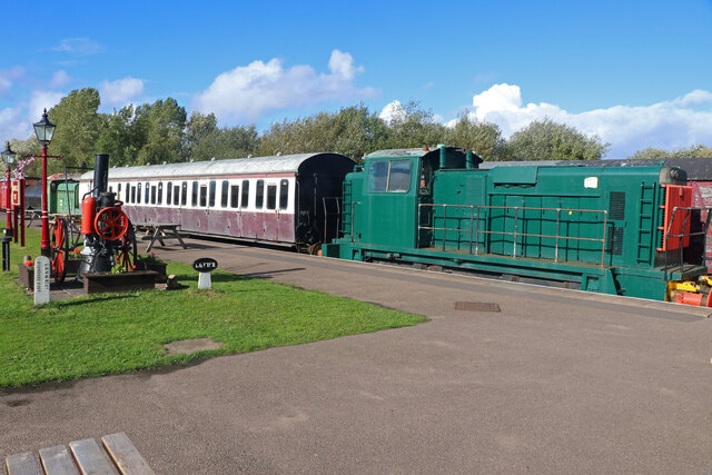
Brownhills West railway station is a heritage railway station on the Chasewater Railway in Staffordshire. It is the western terminus of the Chasewater...
Forest of Mercia
The Forest of Mercia lies within the northernmost boundary of the more ancient and well-known Forest of Arden which covered the area when it formed part...
Nearby Amenities
Located within 500m of 52.659074,-1.9501787Have you been to Brownhills West?
Leave your review of Brownhills West below (or comments, questions and feedback).