Brownlow Green

Settlement in Warwickshire Warwick

England

Brownlow Green

Bridge at Hatton Locks Over the Grand Union Canal.
Bridge at Hatton Locks Credit: David Howard

Brownlow Green is a small village located in the county of Warwickshire, England. Situated approximately 3 miles southeast of the town of Rugby, it is a rural area surrounded by picturesque countryside and farmland. The village is part of the borough of Rugby and falls within the Avon Valley electoral ward.

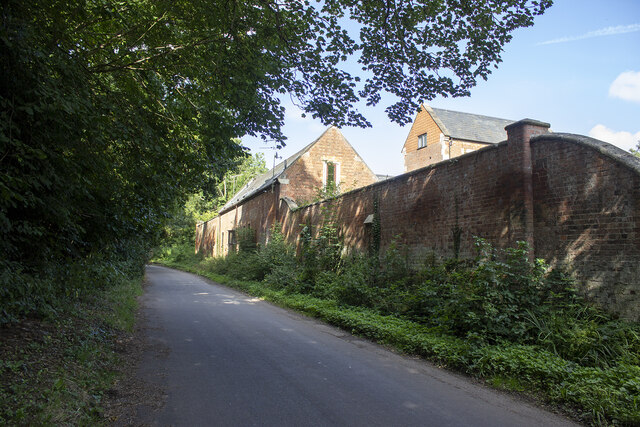
Despite its small size, Brownlow Green offers a peaceful and close-knit community atmosphere. The village is characterized by its charming cottages, many of which date back to the 17th and 18th centuries, adding to its historical appeal. The local architecture is predominantly traditional, with a mix of thatched roofs and brick facades, giving Brownlow Green a distinct and timeless aesthetic.

There are limited amenities within the village itself, with no shops or schools. However, the nearby town of Rugby provides easy access to a wider range of services, including supermarkets, schools, and medical facilities.

The surrounding countryside offers ample opportunities for outdoor activities, such as walking, cycling, and horseback riding. Brownlow Green is also located close to several nature reserves and parks, including Draycote Water, a popular spot for water sports and bird watching.

Transportation links to and from Brownlow Green are convenient, with regular bus services connecting the village to Rugby and other nearby towns. The closest railway station is Rugby, which provides frequent connections to London and other major cities.

In summary, Brownlow Green is a delightful village in Warwickshire that offers a peaceful and idyllic countryside setting. With its historic cottages, access to nature, and convenient transportation links, it appeals to those seeking a tranquil rural lifestyle within easy reach of urban amenities.

If you have any feedback on the listing, please let us know in the comments section below.

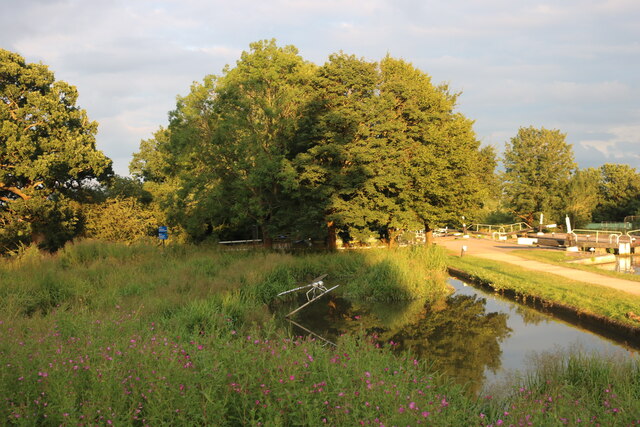
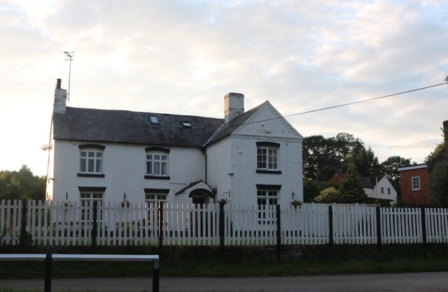
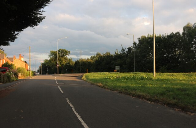
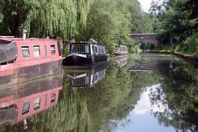
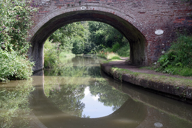
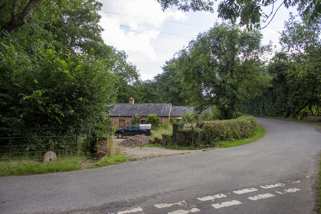
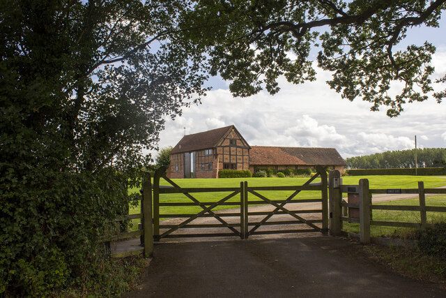
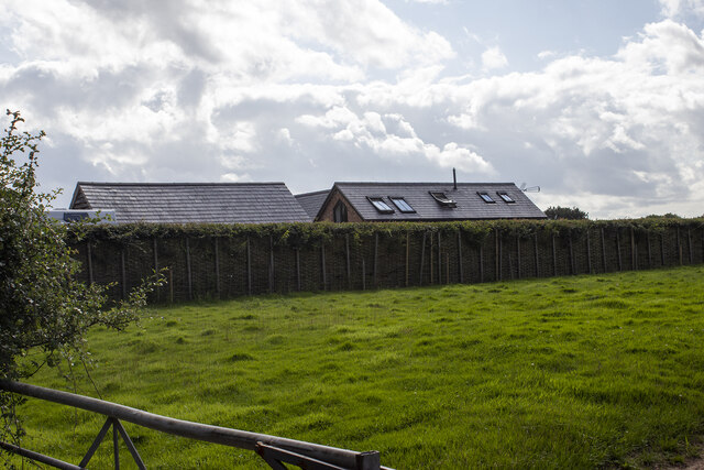
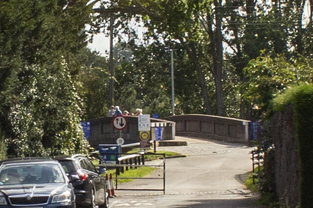
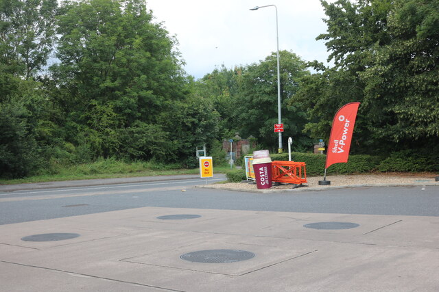
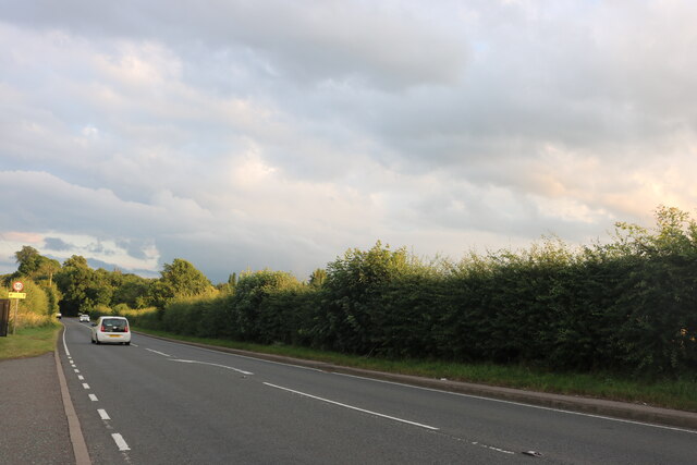
Brownlow Green Images

Images are sourced within 2km of 52.309164/-1.6383165 or Grid Reference SP2467. Thanks to Geograph Open Source API. All images are credited.

Bridge at Hatton Locks Over the Grand Union Canal.
Bridge at Hatton Locks
Over the Grand Union Canal.
Pond by Hatton Locks The locks can be seen on the right
Pond by Hatton Locks
The locks can be seen on the right
House by Hatton Locks Possibly the lock keepers cottage
House by Hatton Locks
Possibly the lock keepers cottage
Brownley Green, Hatton
Grand Union Canal, Hatton Green Ahead is no 55, St John's Bridge, the last before boaters face the marathon of Hatton Locks.
Grand Union Canal, Hatton Green
Ahead is no 55, St John's Bridge, the last before boaters face the marathon of Hatton Locks.
St John's Bridge, Grand Union Canal Everything looks peaceful in this scene at bridge 55 but about half a mile ahead is the top of Hatton's 21 Locks which take the canal down to Warwick.
St John's Bridge, Grand Union Canal
Everything looks peaceful in this scene at bridge 55 but about half a mile ahead is the top of Hatton's 21 Locks which take the canal down to Warwick.
Haseley Mill
Haseley Mill
Hawkes Barn
Hawkes Barn
Kingstanding Farm Converted field barn opposite Kingstanding Farm, Kites Nest Lane
Kingstanding Farm
Converted field barn opposite Kingstanding Farm, Kites Nest Lane
Lower Farm Converted vernacular farm buildings at Lower Farm
Lower Farm
Converted vernacular farm buildings at Lower Farm
Canal bridge
Canal bridge
Shell petrol forecourt on Birmingham Road, Hatton
Birmingham Road, Haseley
Brownley Green, Hatton
Hatton locks - looking down the flight Looking down part of the flight of Hatton locks with the tower of St Mary's, Warwick directly ahead. See <a href="https://www.geograph.org.uk/photo/7006505">SP2466 : Hatton locks - looking up the flight</a> for the view up the flight.
Hatton locks - looking down the flight
Looking down part of the flight of Hatton locks with the tower of St Mary's, Warwick directly ahead. See SP2466 : Hatton locks - looking up the flight for the view up the flight.
Hatton locks - looking up the flight Looking up part of the flight of Hatton Locks. See <a href="https://www.geograph.org.uk/photo/7006504">SP2466 : Hatton locks - looking down the flight</a> for the view down the flight.
Hatton locks - looking up the flight
Looking up part of the flight of Hatton Locks. See SP2466 : Hatton locks - looking down the flight for the view down the flight.
Hatton locks - Canalside buildings and lock The buildings on the far side of this lock - one of the 21 locks that make up the Hatton flight - were almost certainly originally associated with the canal itself, but on modern maps are simply described as a 'depot'.
See shared description below.
Hatton locks - Canalside buildings and lock
The buildings on the far side of this lock - one of the 21 locks that make up the Hatton flight - were almost certainly originally associated with the canal itself, but on modern maps are simply described as a 'depot'. See shared description below.
Hatton locks - Middle Lock and side channel This photo was taken from under the 'Middle Lock Lane' bridge over the Grand Union Canal at Hatton, so presumably the lock seen on the left here is the middle (11th) of the flight of 21. To the lock's right, and nearer the camera, is the weir-like side channel. Water rushes over this man-made waterfall when excess water enters the pound above it, but the flow generally lasts only a few moments - a minute or two at most.
See shared descriptions below.
Hatton locks - Middle Lock and side channel
This photo was taken from under the 'Middle Lock Lane' bridge over the Grand Union Canal at Hatton, so presumably the lock seen on the left here is the middle (11th) of the flight of 21. To the lock's right, and nearer the camera, is the weir-like side channel. Water rushes over this man-made waterfall when excess water enters the pound above it, but the flow generally lasts only a few moments - a minute or two at most. See shared descriptions below.
Show me another place!

Brownlow Green is located at Grid Ref: SP2467 (Lat: 52.309164, Lng: -1.6383165)

Administrative County: Warwickshire

District: Warwick

Police Authority: Warwickshire

What 3 Words

///meaty.headstone.croutons. Near Hatton, Warwickshire

Related Wikis

Central Hospital, Hatton

Central Hospital was a psychiatric hospital located in Hatton, Warwickshire, England. == History == Building began in 1846 on a 42-acre (17 ha) site purchased...

Hatton, Warwickshire

Hatton is a village and civil parish about 4 miles (6 km) west-northwest of Warwick, in the Warwick District of Warwickshire in England. The parish had...
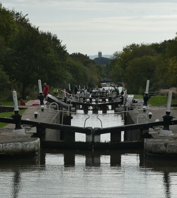
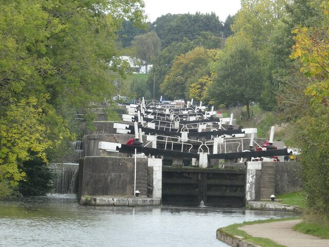
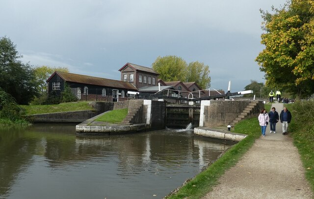
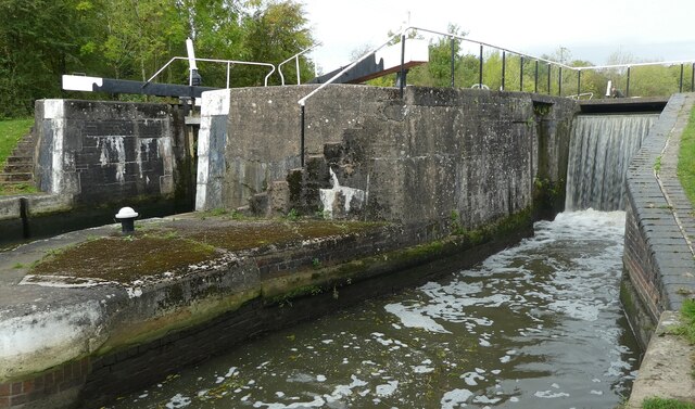
Hatton Locks

The Hatton Locks or Hatton Flight are a flight of 21 locks on the Grand Union Canal in Hatton, Warwickshire, England. The flight spans less than 2 miles...

Haseley

Haseley is a small village and former civil parish in Warwickshire, England. It is four miles north-west of the county town of Warwick and nine miles...

Nearby Amenities

Located within 500m of 52.309164,-1.6383165
Material: wood
Operator: National Grid Electricity Distribution
Operator Wikidata: Q7988183
Power: pole
Source: bing
Lat/Long: 52.3120617/-1.6329342
Material: wood
Operator: National Grid Electricity Distribution
Operator Wikidata: Q7988183
Power: pole
Source: bing
Lat/Long: 52.311373/-1.6338086
Material: wood
Operator: National Grid Electricity Distribution
Operator Wikidata: Q7988183
Power: pole
Source: bing
Lat/Long: 52.3106843/-1.6346642
Material: wood
Operator: National Grid Electricity Distribution
Operator Wikidata: Q7988183
Power: pole
Source: bing
Lat/Long: 52.3075865/-1.6372043
Material: wood
Operator: National Grid Electricity Distribution
Operator Wikidata: Q7988183
Power: pole
Source: bing
Lat/Long: 52.3083819/-1.6365552
Material: wood
Operator: National Grid Electricity Distribution
Operator Wikidata: Q7988183
Power: pole
Source: bing
Lat/Long: 52.3091854/-1.6358954
Material: wood
Operator: National Grid Electricity Distribution
Operator Wikidata: Q7988183
Power: pole
Source: bing
Lat/Long: 52.3099217/-1.6352865
Material: wood
Operator: National Grid Electricity Distribution
Operator Wikidata: Q7988183
Power: pole
Source: bing
Lat/Long: 52.3048985/-1.6386285
Material: wood
Operator: National Grid Electricity Distribution
Operator Wikidata: Q7988183
Power: pole
Source: bing
Lat/Long: 52.3058096/-1.6383107
Frequency: 50
Material: wood
Operator: National Grid Electricity Distribution
Operator Wikidata: Q7988183
Power: pole
Ref: 931765
Source: wpd_opendata
Transformer: distribution
Voltage Primary: 11000
Voltage Secondary: 400
Lat/Long: 52.3067091/-1.6379835
Material: wood
Operator: National Grid Electricity Distribution
Operator Wikidata: Q7988183
Power: pole
Source: bing
Lat/Long: 52.3068288/-1.6378132
Operator: National Grid Electricity Distribution
Operator Wikidata: Q7988183
Power: pole
Lat/Long: 52.3066513/-1.6360172
Operator: National Grid Electricity Distribution
Operator Wikidata: Q7988183
Power: pole
Lat/Long: 52.30655/-1.6352544
Operator: National Grid Electricity Distribution
Operator Wikidata: Q7988183
Power: pole
Lat/Long: 52.3067202/-1.6367631
Operator: National Grid Electricity Distribution
Operator Wikidata: Q7988183
Power: pole
Lat/Long: 52.3063678/-1.6335156
The data included in this document is from www.openstreetmap.org. The data is made available under ODbL.

Have you been to Brownlow Green?

Leave your review of Brownlow Green below (or comments, questions and feedback).