Hatton Hill
Hill, Mountain in Warwickshire Warwick
England
Hatton Hill
Hatton Hill, located in Warwickshire, England, is a prominent natural feature that offers stunning views and a tranquil atmosphere. Standing at an elevation of 213 meters, it is classified as a hill rather than a mountain due to its moderate height. The hill is situated near the village of Hatton, which is approximately 7 miles southeast of the historic town of Warwick.
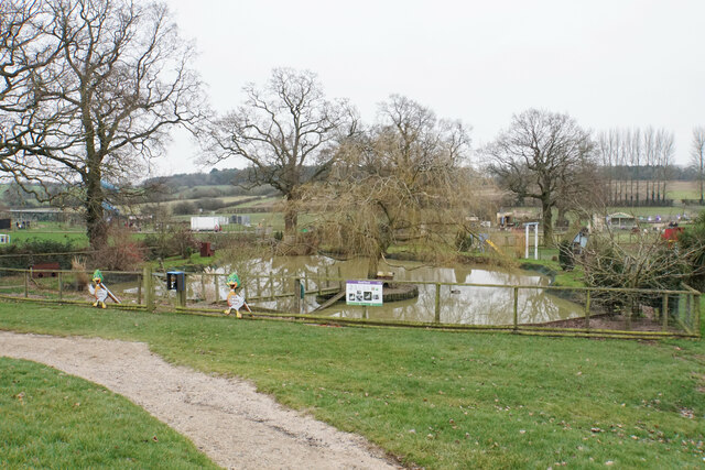
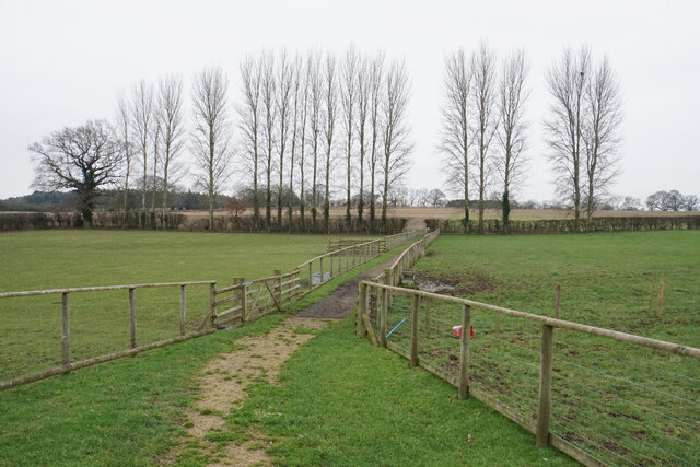
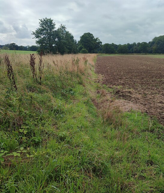
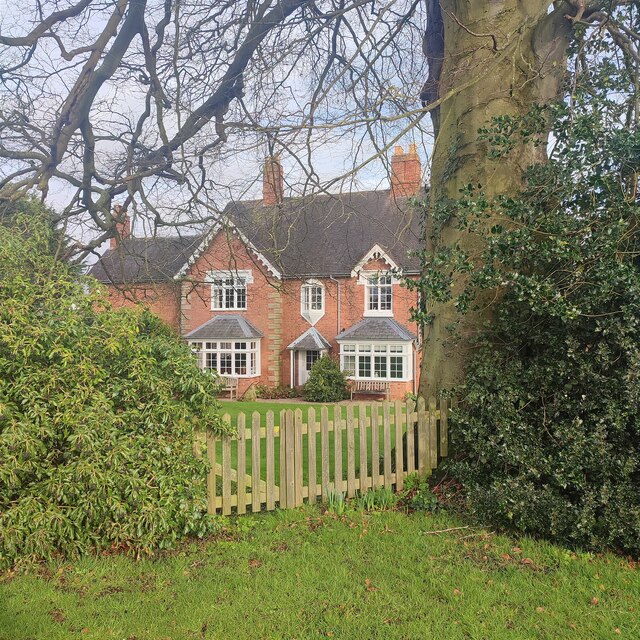
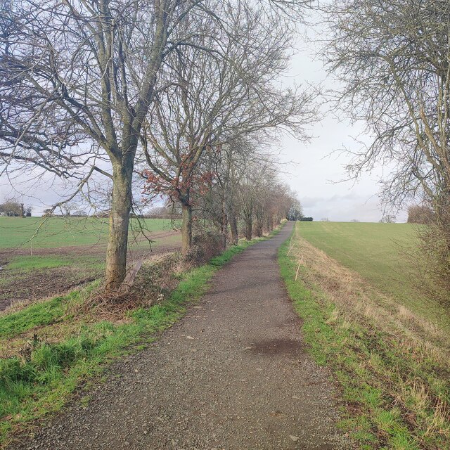
Hatton Hill is known for its picturesque surroundings, encompassing lush green fields, woodlands, and charming countryside vistas. Visitors can enjoy scenic walks along well-maintained footpaths that crisscross the hill, providing opportunities to soak in the beauty of the Warwickshire landscape.
At the summit of Hatton Hill, there is a viewing point which offers panoramic views of the surrounding countryside, including the River Avon and Warwick Castle in the distance. On clear days, it is said that one can even catch a glimpse of the famous Shakespearean town of Stratford-upon-Avon.
The area around Hatton Hill is rich in history and is believed to have been inhabited since prehistoric times. Archaeological remains, such as burial mounds and ancient earthworks, add an extra layer of fascination to the hill.
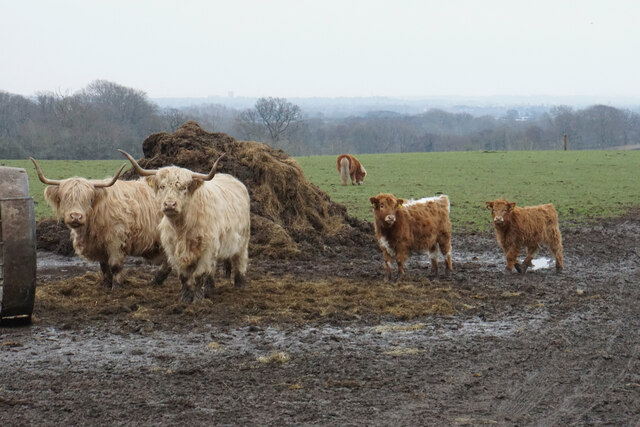
For nature enthusiasts, Hatton Hill is home to a diverse range of flora and fauna, including wildflowers, butterflies, and various bird species. The hill provides a haven for wildlife and is a popular spot for birdwatching.
In conclusion, Hatton Hill in Warwickshire is a scenic and historically significant hill offering breathtaking views, peaceful walks, and a glimpse into the region's past. It is a cherished natural landmark that attracts visitors seeking tranquility and natural beauty.
If you have any feedback on the listing, please let us know in the comments section below.
Hatton Hill Images
Images are sourced within 2km of 52.301808/-1.6405761 or Grid Reference SP2467. Thanks to Geograph Open Source API. All images are credited.
Hatton Hill is located at Grid Ref: SP2467 (Lat: 52.301808, Lng: -1.6405761)
Administrative County: Warwickshire
District: Warwick
Police Authority: Warwickshire
What 3 Words
///dunes.continues.spoiled. Near Hatton, Warwickshire
Nearby Locations
Related Wikis

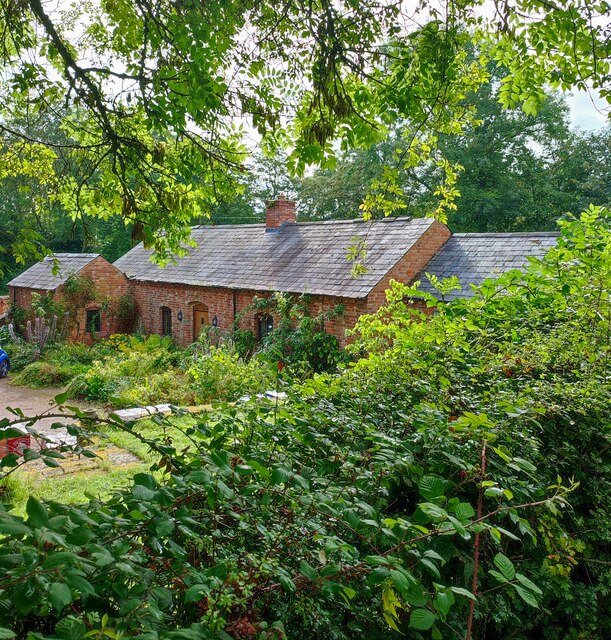
Hatton, Warwickshire
Hatton is a village and civil parish about 4 miles (6 km) west-northwest of Warwick, in the Warwick District of Warwickshire in England. The parish had...

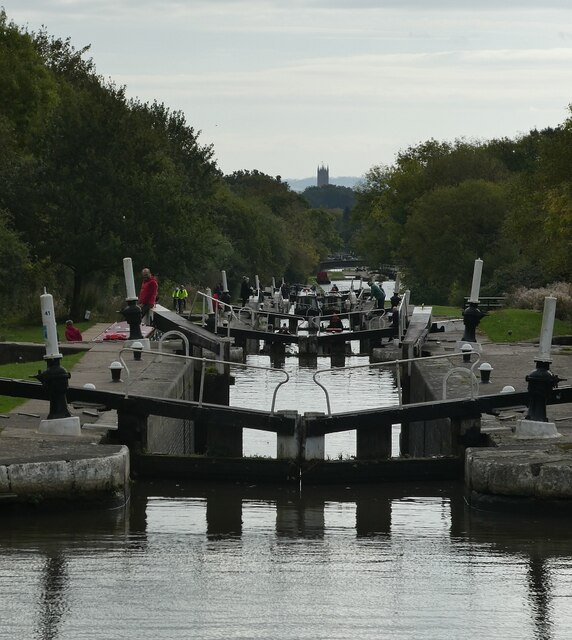
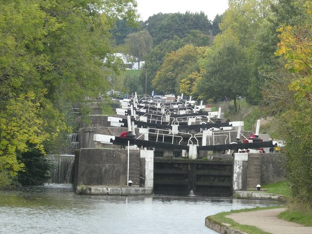
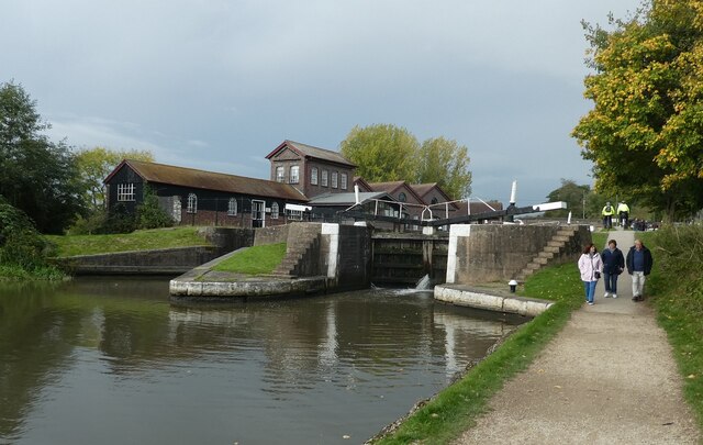
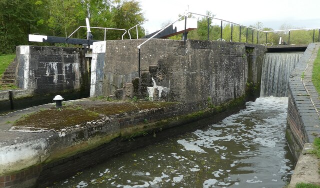
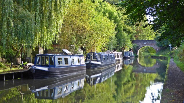
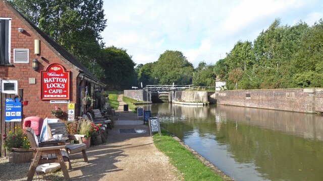
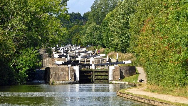
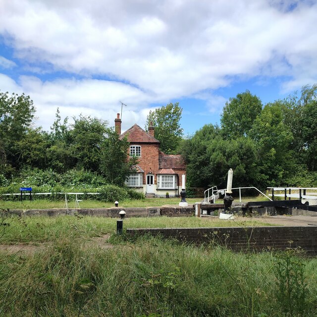
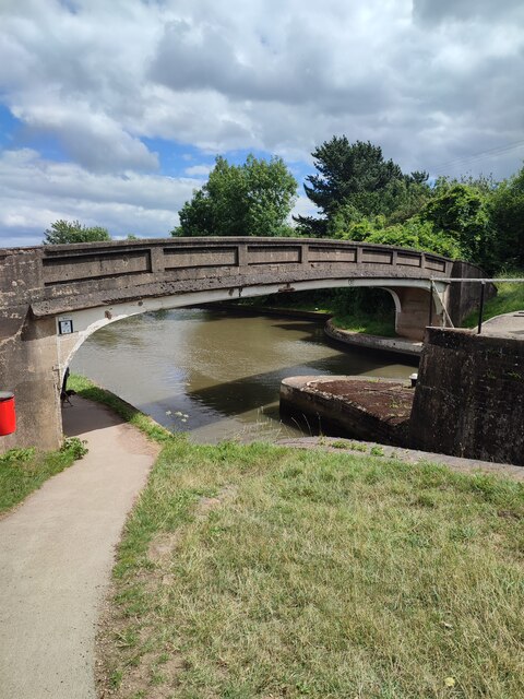
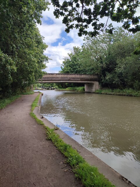
Hatton Locks
The Hatton Locks or Hatton Flight are a flight of 21 locks on the Grand Union Canal in Hatton, Warwickshire, England. The flight spans less than 2 miles...

Central Hospital, Hatton
Central Hospital was a psychiatric hospital located in Hatton, Warwickshire, England. == History == Building began in 1846 on a 42-acre (17 ha) site purchased...

Haseley
Haseley is a small village and former civil parish in Warwickshire, England. It is four miles north-west of the county town of Warwick and nine miles...
Nearby Amenities
Located within 500m of 52.301808,-1.6405761Have you been to Hatton Hill?
Leave your review of Hatton Hill below (or comments, questions and feedback).