Oscar Hill
Hill, Mountain in Yorkshire Hambleton
England
Oscar Hill
Oscar Hill is a prominent feature located in the county of Yorkshire, England. Situated in the heart of the Yorkshire Dales National Park, it stands tall at an elevation of approximately 800 meters (2,625 feet) above sea level. This majestic mountain is a beloved destination for hikers, nature enthusiasts, and adventure seekers alike.
Oscar Hill offers breathtaking panoramic views of the surrounding countryside, with its peak providing an excellent vantage point over the rolling hills and picturesque valleys. The climb to the summit can be challenging, but the reward is well worth the effort. The trail leading to the top is well-marked, ensuring a safe and enjoyable journey for all visitors.
The mountain is known for its diverse wildlife and rich biodiversity. Rare species of plants and animals can be found in the area, making it a haven for nature lovers and conservationists. Birdwatchers flock to Oscar Hill to catch a glimpse of the various avian species that inhabit the region.
The area surrounding Oscar Hill is also steeped in history and cultural significance. Ruins of ancient settlements and remnants of old mining activities can be found, providing a glimpse into Yorkshire's past. The mountain is often used as a starting point for exploring the wider Yorkshire Dales, with numerous hiking trails and attractions nearby.
Overall, Oscar Hill in Yorkshire is a remarkable natural landmark that showcases the beauty and charm of the region. Its stunning vistas, challenging trails, and rich history make it a must-visit destination for anyone seeking an unforgettable outdoor adventure.
If you have any feedback on the listing, please let us know in the comments section below.
Oscar Hill Images
Images are sourced within 2km of 54.270434/-1.6234785 or Grid Reference SE2486. Thanks to Geograph Open Source API. All images are credited.


Oscar Hill is located at Grid Ref: SE2486 (Lat: 54.270434, Lng: -1.6234785)
Division: North Riding
Administrative County: North Yorkshire
District: Hambleton
Police Authority: North Yorkshire
What 3 Words
///chitchat.feast.blazers. Near Bedale, North Yorkshire
Nearby Locations
Related Wikis
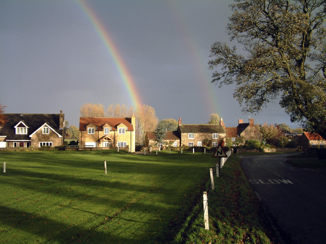
Burrill with Cowling
Burrill with Cowling is a civil parish in the Hambleton District of North Yorkshire, England, including the villages of Burrill and Cowling. It is only...

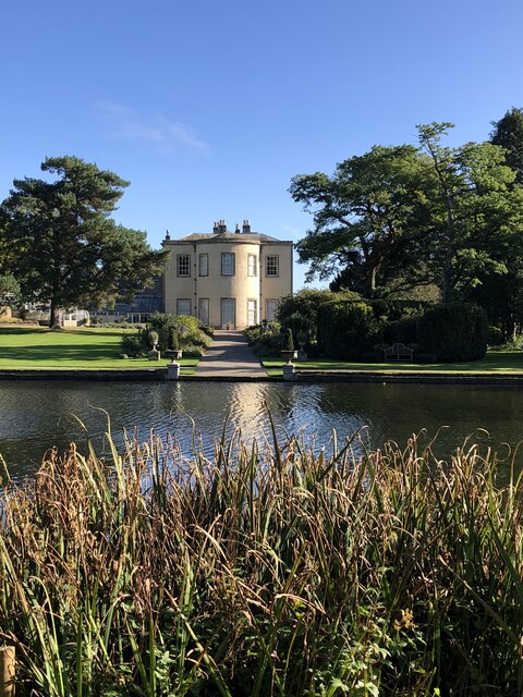
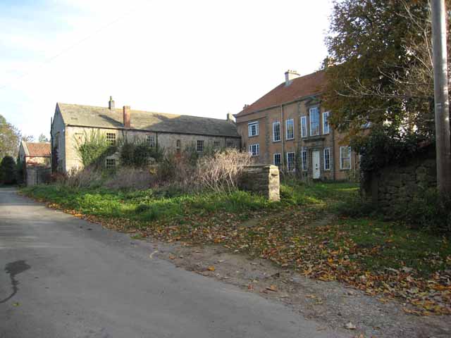
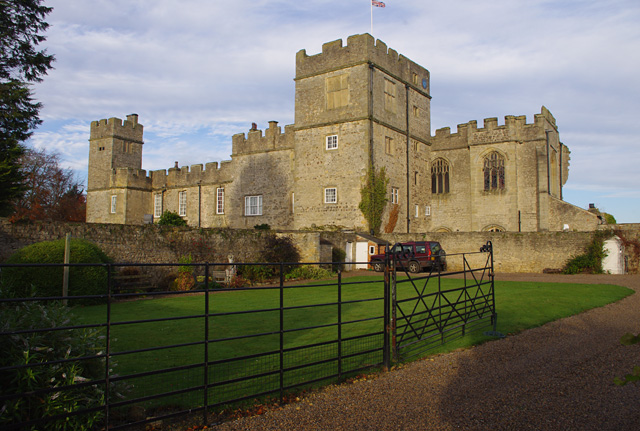
Thornton Watlass Hall
Thornton Watlass Hall is a large Grade I listed Georgian country house in Thornton Watlass, North Yorkshire, England, some 3 miles (5 km) north of Masham...
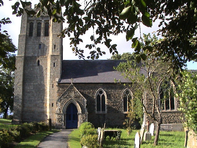
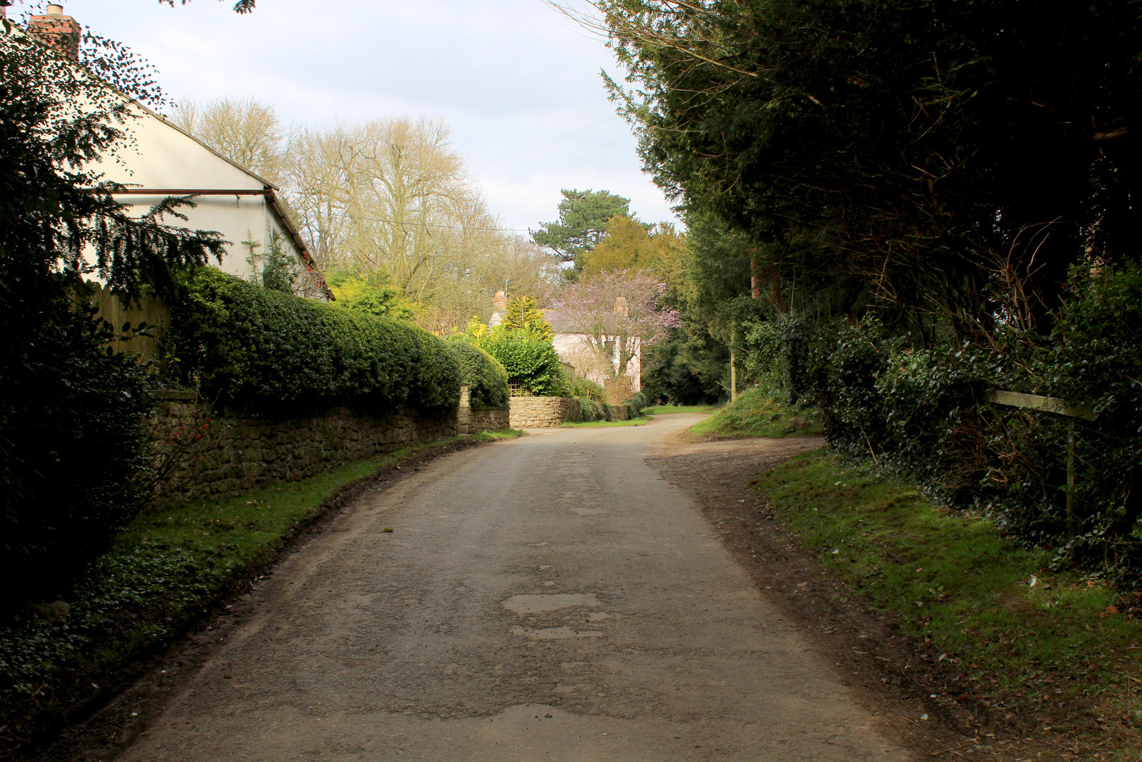
Thornton Watlass
Thornton Watlass is a small village and civil parish in North Yorkshire, England. It is located north of Masham and south of Bedale on the eastern slopes...

Burrill
Burrill is a small village in near to Bedale in North Yorkshire, England. It is in the parish of Burrill with Cowling and 1 mile (1.6 km) west of Bedale...
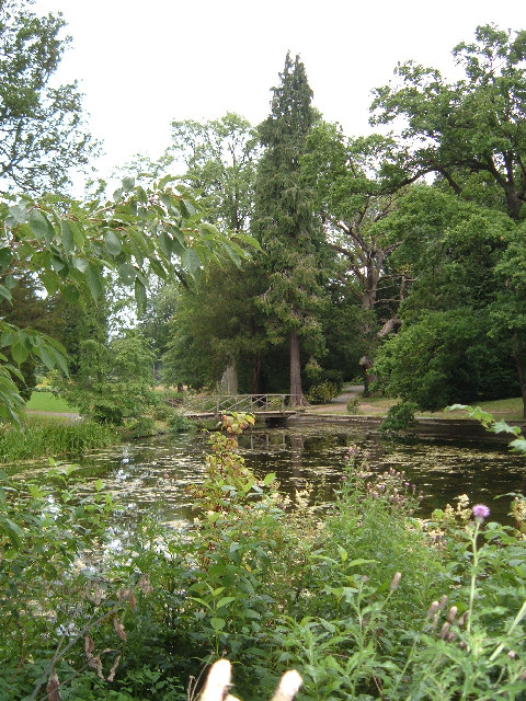
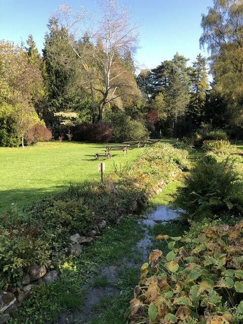
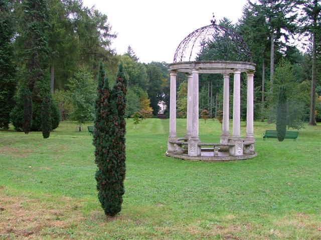
Thorp Perrow Arboretum
Thorp Perrow Arboretum is an 85-acre (34 ha) woodland garden arboretum near Bedale in North Yorkshire, England. == History == Thorp is a common place-name...
Cowling, Hambleton
Cowling is a small village in the Hambleton District of North Yorkshire, England. It is in the parish of Burrill with Cowling and 1 mile west of Bedale...
Firby, Hambleton
Firby is a small village and civil parish in North Yorkshire, England. It lies 1-mile (1.5 km) south of Bedale. The population of the parish was estimated...
Snape Castle
Snape Castle is a semi-fortified manor house in the village of Snape, North Yorkshire, England. The castle is 3 miles (5 km) south of Bedale and 19 miles...
Nearby Amenities
Located within 500m of 54.270434,-1.6234785Have you been to Oscar Hill?
Leave your review of Oscar Hill below (or comments, questions and feedback).