Church Hill
Hill, Mountain in Northumberland
England
Church Hill
Church Hill is a prominent hill located in the picturesque county of Northumberland, England. Standing at an elevation of approximately 238 meters (781 feet), it offers breathtaking views of the surrounding countryside and is a popular destination for hikers and nature enthusiasts.
Situated near the village of Longhorsley, Church Hill is known for its distinctive shape, resembling a dome-shaped hill or a small mountain. Its location within the Northumberland National Park adds to its allure, attracting visitors from far and wide.
The hill is characterized by its lush green slopes, covered with a variety of vegetation, including heather and grasses, providing a vibrant and picturesque landscape throughout the year. The hill's summit is adorned with a small copse of trees, offering shelter and shade to those who ascend its slopes.
Church Hill is home to a diverse array of wildlife, with several species of birds, mammals, and insects making their residence in the surrounding areas. The hill's natural habitat attracts birdwatchers, who can spot a range of species, including buzzards, kestrels, and various songbirds.
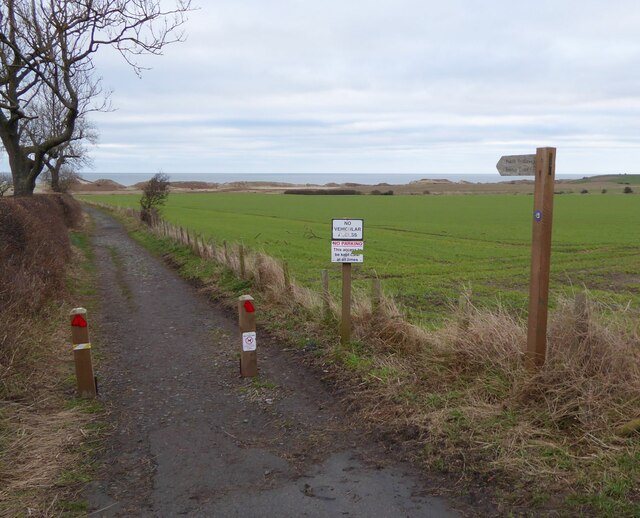
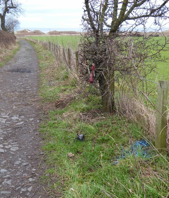
For outdoor enthusiasts, Church Hill provides an opportunity for leisurely walks, challenging hikes, and even picnics amidst the stunning natural surroundings. The hill is crisscrossed by a network of footpaths and trails, catering to all levels of fitness and offering breathtaking panoramic views of the Northumberland countryside.
Overall, Church Hill is a haven for those seeking tranquility, natural beauty, and outdoor adventure. Its prominent location within the Northumberland landscape, combined with its sweeping vistas and diverse wildlife, makes it a must-visit destination for nature lovers and explorers alike.
If you have any feedback on the listing, please let us know in the comments section below.
Church Hill Images
Images are sourced within 2km of 55.383639/-1.6134726 or Grid Reference NU2410. Thanks to Geograph Open Source API. All images are credited.


Church Hill is located at Grid Ref: NU2410 (Lat: 55.383639, Lng: -1.6134726)
Unitary Authority: Northumberland
Police Authority: Northumbria
What 3 Words
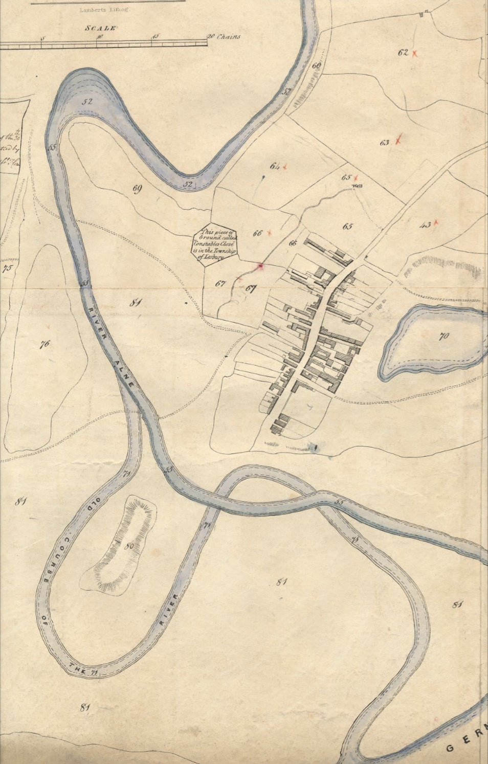
///homes.coiling.stunt. Near Lesbury, Northumberland
Nearby Locations
Related Wikis

River Aln
The River Aln () runs through the county of Northumberland in England. It rises in Alnham in the Cheviot Hills and discharges into the North Sea at Alnmouth...
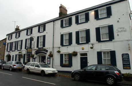
Schooner Hotel
The Schooner Hotel & Bar is a Grade II listed 17th century coaching inn and hotel located at 8 Northumberland Street in the coastal village of Alnmouth...

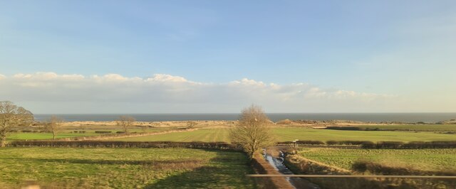
Alnmouth
Alnmouth () is a coastal village in Northumberland, England, situated 4 miles (6 km) east-south-east of Alnwick. The population of the civil parish at...

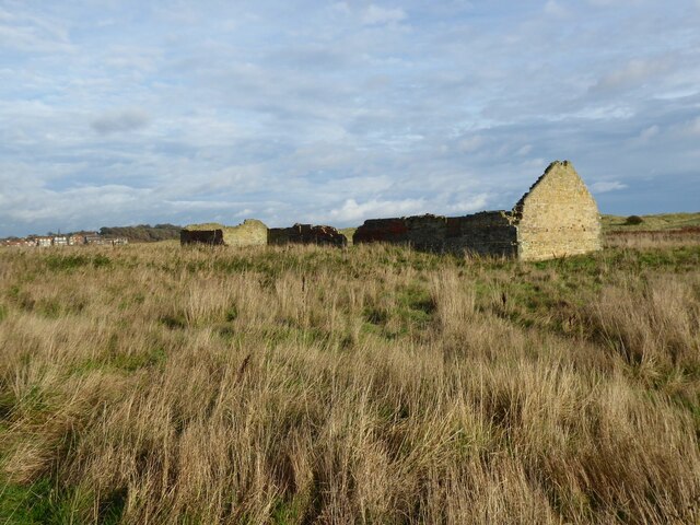
St John the Baptist Parish Church, Alnmouth
St John the Baptist Parish Church is an Anglican place of worship situated in the village of Alnmouth in Northumberland, England. It is the parish church...
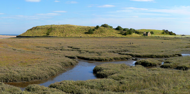
Alnmouth Saltmarsh and Dunes
Alnmouth Saltmarsh and Dunes is a Site of Special Scientific Interest (SSSI) in Northumberland, England. It is the largest saltflat on the north-east coast...
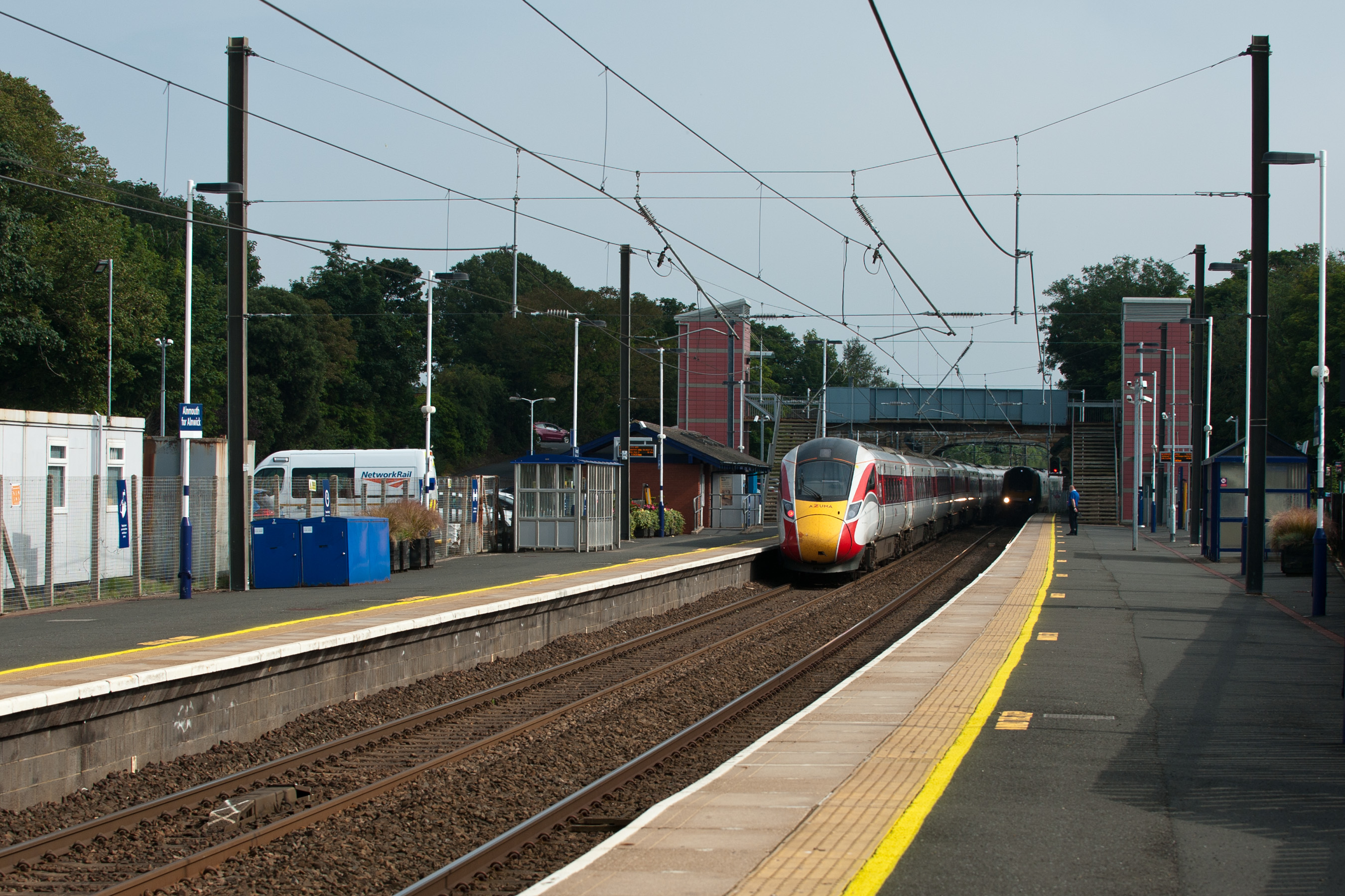
Alnmouth railway station
Alnmouth (also known as Alnmouth for Alnwick) is a railway station on the East Coast Main Line, which runs between London King's Cross and Edinburgh Waverley...
High Buston
High Buston is a small hamlet and former civil parish, now in the parish of Alnmouth, in Northumberland, England, on Northumberland coast situated between...

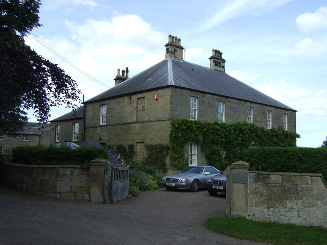
Lesbury
Lesbury is a small rural village in Northumberland in the north of England. It is built on the main coastal road 3.5 miles (5.6 km) southeast of Alnwick...
Nearby Amenities
Located within 500m of 55.383639,-1.6134726Have you been to Church Hill?
Leave your review of Church Hill below (or comments, questions and feedback).