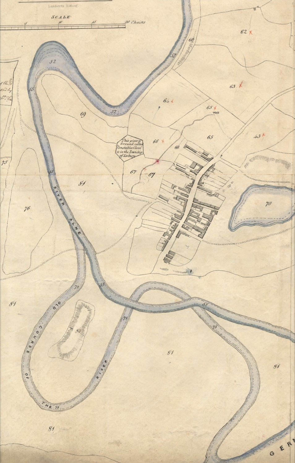
Alnmouth

Settlement in Northumberland

England

Alnmouth

No Vehicular Access For many years we have driven slowly down this very bumpy road giving access to the coast south of the River Aln.  Today it is blocked!
No Vehicular Access Credit: Russel Wills

Alnmouth is a picturesque village located in the county of Northumberland, in the northeast of England. Situated at the mouth of the River Aln, it is a popular tourist destination known for its stunning natural beauty and rich history.

The village is characterized by its charming, traditional stone houses and cottages, many of which date back to the 18th and 19th centuries. Alnmouth's quaint streets are lined with colorful flowers and lush greenery, creating a welcoming and idyllic atmosphere.

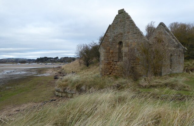
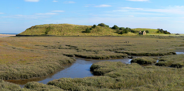
One of Alnmouth's main attractions is its pristine sandy beach, which stretches for miles along the North Sea coast. The beach offers breathtaking views of the surrounding coastline and is a haven for nature lovers and beachgoers alike. It is a perfect spot for a leisurely stroll, sunbathing, or even engaging in water sports such as surfing and kayaking.

Alnmouth is also home to several historic landmarks, including the 12th-century Church of St. John the Baptist, which stands prominently in the village center. The church's impressive architecture and historical significance make it a must-visit for history enthusiasts.

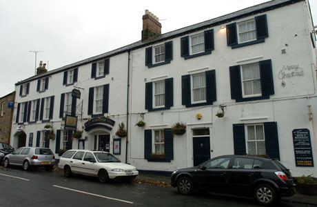
In addition to its natural and historical attractions, Alnmouth boasts a vibrant community with a range of amenities. There are several charming pubs, cafes, and restaurants where visitors can enjoy local cuisine and hospitality. The village also hosts various events and festivals throughout the year, attracting both locals and tourists.

Overall, Alnmouth offers a delightful blend of natural beauty, historical charm, and community spirit, making it a captivating destination for visitors seeking a quintessential British village experience.

If you have any feedback on the listing, please let us know in the comments section below.
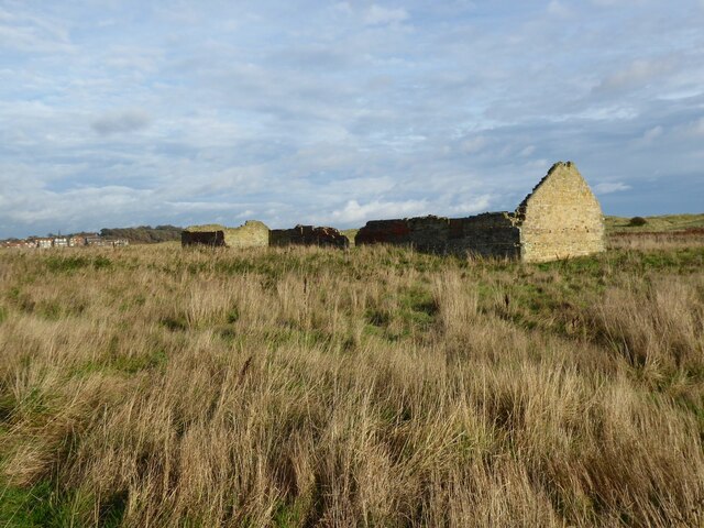
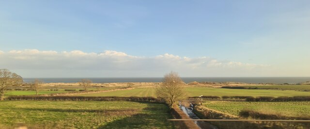
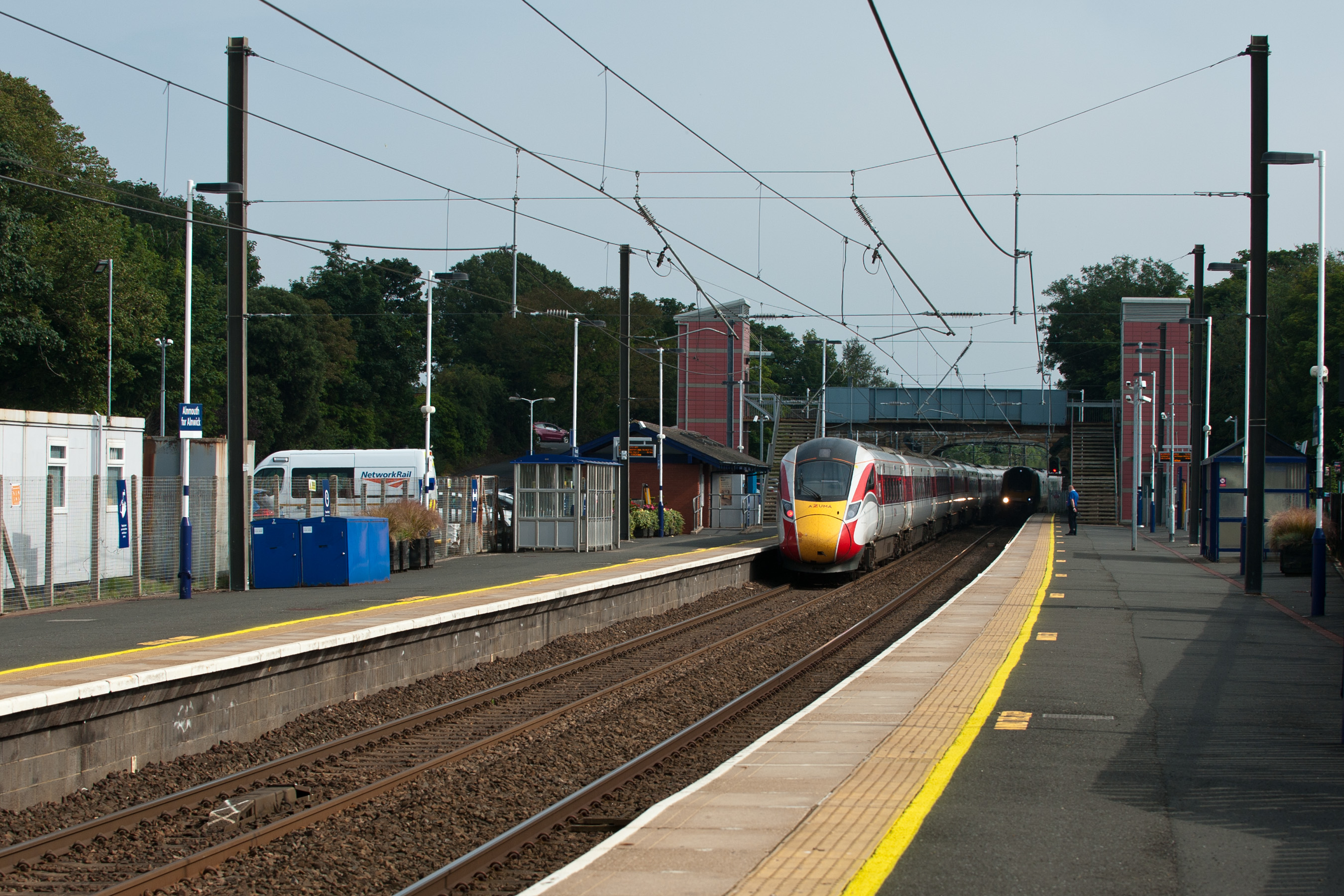
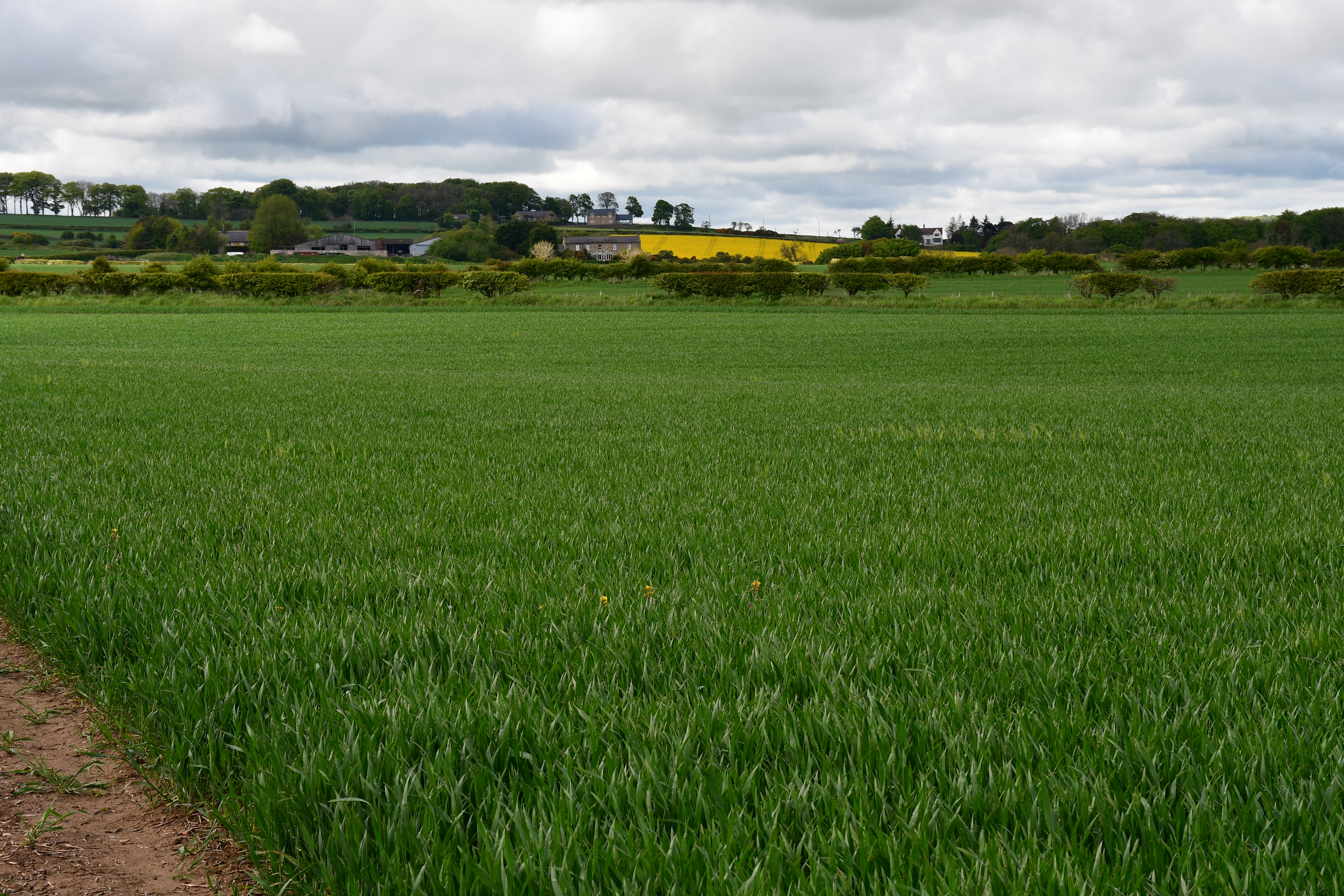
Alnmouth Images

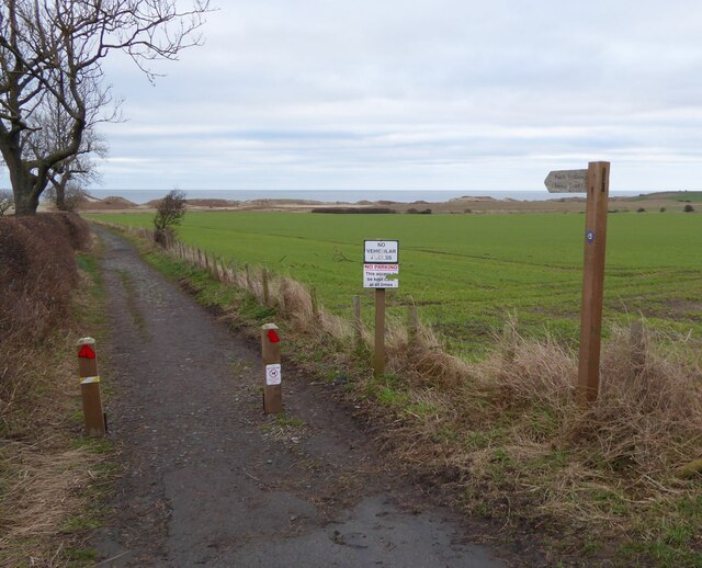
Images are sourced within 2km of 55.389606/-1.612831 or Grid Reference NU2410. Thanks to Geograph Open Source API. All images are credited.

No Vehicular Access For many years we have driven slowly down this very bumpy road giving access to the coast south of the River Aln.  Today it is blocked!
No Vehicular Access
For many years we have driven slowly down this very bumpy road giving access to the coast south of the River Aln. Today it is blocked!
Ruined Mortuary Chapel Built 1869-70 at a cost of 177.6s.3d. raised by public subscription, as part of a plan to re-open the cemetery on Church Hill (site of the ancient parish church of St. Waleric, the remains of which were destroyed by the 1806 flood). 
The boats on the left are in Alnmouth Harbour.
The Christmas Day Storm of 1806 caused the river to cut through the low ground to the north of Church Hill, destroying part of the village in the process. The remains of the southern loop, where the camera is sited, then silted up, leaving the river to follow the course it does today, which cuts Church Hill off from the village.
Ruined Mortuary Chapel
Built 1869-70 at a cost of 177.6s.3d. raised by public subscription, as part of a plan to re-open the cemetery on Church Hill (site of the ancient parish church of St. Waleric, the remains of which were destroyed by the 1806 flood). The boats on the left are in Alnmouth Harbour. The Christmas Day Storm of 1806 caused the river to cut through the low ground to the north of Church Hill, destroying part of the village in the process. The remains of the southern loop, where the camera is sited, then silted up, leaving the river to follow the course it does today, which cuts Church Hill off from the village.
Track leading from A1068 to the beach Someone, perhaps the person who has put up the 'No dog fouling' signs, has sprayed the 'unpleasant droppings' with blue paint.
There are scores of them all the way down.  Horrible!  It spoils a pleasant walk.
Track leading from A1068 to the beach
Someone, perhaps the person who has put up the 'No dog fouling' signs, has sprayed the 'unpleasant droppings' with blue paint. There are scores of them all the way down. Horrible! It spoils a pleasant walk.
Dog fouling Someone has blue-painted the dog foulings.  In response the 'foulers' have hung their 'collections' on the tree and thrown the 'collection bag' on the grass.
How inconsiderate can you get?  Who is supposed to clear up the mess?
See also <a title="https://www.geograph.org.uk/photo/7078832" href="https://www.geograph.org.uk/photo/7078832">Link</a>
Dog fouling
Someone has blue-painted the dog foulings. In response the 'foulers' have hung their 'collections' on the tree and thrown the 'collection bag' on the grass. How inconsiderate can you get? Who is supposed to clear up the mess? See also Link
The Guano Shed Constructed as a storage facility for guano imported from Peru during the 19th Century.  The building has undergone many changes in its 150 - 200 year life. Including modern defence see <a title="https://www.geograph.org.uk/photo/7334947" href="https://www.geograph.org.uk/photo/7334947">Link</a>
It was placed well away from the village on account of the stench of the guano!
The Guano Shed
Constructed as a storage facility for guano imported from Peru during the 19th Century. The building has undergone many changes in its 150 - 200 year life. Including modern defence see Link It was placed well away from the village on account of the stench of the guano!
Gun loop in Guano Shed A concrete gun loop inserted during WW2 facing the dunes to repel invaders.
A 'new' use for the guano store!
See <a title="https://www.geograph.org.uk/photo/7334940" href="https://www.geograph.org.uk/photo/7334940">Link</a>
Gun loop in Guano Shed
A concrete gun loop inserted during WW2 facing the dunes to repel invaders. A 'new' use for the guano store! See Link
Coastal dunes and farmland
Cattle grazing
Cattle grazing
View towards Alnmouth
Ruins of 18th century guano barn Grade II listed. Guano was imported to Alnmouth and kept here to keep the smell well away from the town. The River Aln has changed course, meandering away from this spot. 

Official listing see; <span class="nowrap"><a title="https://historicengland.org.uk/listing/the-list/list-entry/1041836?section=official-list-entry" rel="nofollow ugc noopener" href="https://historicengland.org.uk/listing/the-list/list-entry/1041836?section=official-list-entry">Link</a><img style="margin-left:2px;" alt="External link" title="External link - shift click to open in new window" src="https://s1.geograph.org.uk/img/external.png" width="10" height="10"/></span>
Ruins of 18th century guano barn
Grade II listed. Guano was imported to Alnmouth and kept here to keep the smell well away from the town. The River Aln has changed course, meandering away from this spot. Official listing see; LinkExternal link
Salt marshes in Aln estuary
Coast south of Alnmouth
Coast looking towards Alnmouth From East Coast mainline train
Coast looking towards Alnmouth
From East Coast mainline train
Track towards Wooden Farm
Church Hill Just south of Alnmouth in Northumberland.
The remains of a 12th century Norman chapel dedicated to St. Waleric are located on the hill.
Church Hill
Just south of Alnmouth in Northumberland. The remains of a 12th century Norman chapel dedicated to St. Waleric are located on the hill.
National Trust notice, at Saltmarsh neat Alnmouth
Sand dunes on the south side of the Aln Estuary
Buston Links Walking along the Mean High Water line with the entrance to Alnmouth Bay in the background.
Buston Links
Walking along the Mean High Water line with the entrance to Alnmouth Bay in the background.
Show me another place!

Alnmouth is located at Grid Ref: NU2410 (Lat: 55.389606, Lng: -1.612831)

Unitary Authority: Northumberland

Police Authority: Northumbria

What 3 Words

///rucksack.earlobe.mutual. Near Lesbury, Northumberland

Nearby Locations

Alnmouth Church Hill

Related Wikis

Nearby Amenities

Located within 500m of 55.389606,-1.612831
Alnmouth
Is In County: Northumberland
Place: village
Wikidata: Q1424908
Wikipedia: en:Alnmouth
Lat/Long: 55.3883231/-1.6126304
Post Box
Operator: Royal Mail
Operator Type: private
Operator Wikidata: Q638098
Ref: NE66 127
Lat/Long: 55.3892703/-1.6128756
Pub
Sun Inn
Addr City: Alnmouth
Addr County: Northumberland
Addr Housenumber: 29
Addr Postcode: NE66 2RA
Addr Street: Northumberland Street
Fhrs Id: 288432
Wikidata: Q79466129
Lat/Long: 55.3889282/-1.6131921
Public Bookcase
Booth: K6
Covered: booth
Disused Amenity: telephone
Listed Status: Grade II
Man Made: telephone_box
Public Bookcase Type: phone_box
Lat/Long: 55.3880602/-1.6126521
Pub
The Schooner Hotel & Bar
Addr City: Alnmouth, Alnwick
Addr County: Northumberland
Addr Housename: Schooner Hotel
Addr Housenumber: 8
Addr Postcode: NE66 2RS
Addr Street: Northumberland Street
Addr Village: Alnmouth
Fhrs Id: 288479
Website: https://www.theschoonerhotel.co.uk/
Wikidata: Q7432744
Wikipedia: en:Schooner Hotel
Lat/Long: 55.3872047/-1.6123367
Post Box
Collection Times: Mo-Fr 09:00; Sa 07:00
Operator: Royal Mail
Operator Type: private
Operator Wikidata: Q638098
Ref: NE66 98D
Royal Cypher: GR
Royal Cypher Wikidata: Q33102273
Lat/Long: 55.3866656/-1.6119165
The Saddle B&B
Addr City: Alnmouth
Tourism: guest_house
Lat/Long: 55.3885889/-1.6130881
Pub
Hope & Anchor
Addr City: Alnmouth
Addr County: Northumberland
Addr Housenumber: 42-44
Addr Postcode: NE66 2RA
Addr Street: Northumberland Street
Fhrs Id: 288289
Wikidata: Q79466078
Lat/Long: 55.3890942/-1.6128357
Post Office
The Village Post Office
Addr City: Alnwick
Addr Housenumber: 52
Addr Postcode: NE66 2RJ
Addr Street: Northumberland Street
Addr Village: Alnmouth
Brand: Post Office
Brand Wikidata: Q1783168
Opening Hours: Mo-Sa 07:00-17:30; Su 07:00-16:00
Ref Pol Id: 6721
Source: OS_OpenData_StreetView
Website: https://www.postoffice.co.uk/branch-finder/1983288/alnmouth
Lat/Long: 55.3881698/-1.6125086
Cafe
Tea Cosy Cafe
Lat/Long: 55.3883621/-1.6129075
Power: pole
Lat/Long: 55.3917189/-1.6191741
Toilets
Lat/Long: 55.3873481/-1.6110648
Grosvenor Hair
Phone: +44 1665 83037
Shop: hairdresser
Lat/Long: 55.3887699/-1.6131504
Bus Stop
Bench: no
Bus: yes
Covered: no
Public Transport: platform
Shelter: no
Lat/Long: 55.3882109/-1.6125924
Waste Basket
Lat/Long: 55.3882491/-1.6125977
Cafe
Lat/Long: 55.3875959/-1.6121831
Defibrillator
Emergency: defibrillator
Emergency Access: key_code
Location: outdoor
Note: Location from memory.
Lat/Long: 55.3880735/-1.6112591
Phone
Emergency: phone
Lat/Long: 55.3900735/-1.6056521
Defibrillator
Defibrillator Location: On outside Wall of Golf Clubhouse
Emergency: defibrillator
Indoor: no
Ref GB The Circuit: 177836B0-E258-41BC-AE60-AE4C009D34FE
Lat/Long: 55.3870439/-1.610894
Shelter
Lat/Long: 55.3880945/-1.6079747
Bench
Lat/Long: 55.3874631/-1.6087784
Bench
Lat/Long: 55.3871493/-1.6090467
Bench
Lat/Long: 55.3869849/-1.6095413
Bench
Lat/Long: 55.3871852/-1.6096729
Bench
Lat/Long: 55.3885196/-1.6128271
Bench
Lat/Long: 55.3903695/-1.6129718
Bus Stop
Alnmouth, Methodist Church
Bench: no
Bus: yes
Departures Board: timetable
Public Transport: platform
Shelter: no
Lat/Long: 55.3906399/-1.614032
Bus Stop
Alnmouth, Methodist Church
Bench: yes
Bin: yes
Bus: yes
Departures Board: timetable
Public Transport: platform
Shelter: yes
Lat/Long: 55.3906863/-1.6151133
Bus Stop
Argyle Street
Bus: yes
Public Transport: platform
Ref: X18
Lat/Long: 55.3873462/-1.6122557
Bench
Source: GPS survey
Lat/Long: 55.3875892/-1.6108905
Bench
Source: GPS survey
Lat/Long: 55.3897846/-1.6113532
Bench
Backrest: yes
Mapillary: 459102825156766
Source: GPS survey
Survey Date: 2018-07-02
Lat/Long: 55.3907078/-1.6102763
Bench
Backrest: yes
Mapillary: 837016410497642
Source: GPS survey
Survey Date: 2018-07-02
Lat/Long: 55.3909157/-1.6097197
Bench
Backrest: yes
Mapillary: 952641258820842
Source: GPS survey
Survey Date: 2018-07-02
Lat/Long: 55.3911244/-1.609029
Barrier: stile
Lat/Long: 55.39142/-1.6088842
Tourism: attraction
Lat/Long: 55.392075/-1.6067156
Bench
Backrest: yes
Mapillary: 509566360182722
Source: GPS survey
Survey Date: 2018-07-02
Lat/Long: 55.3920263/-1.6067518
Entrance: main
Lat/Long: 55.3876416/-1.6113645
Bench
Source: GPS survey
Lat/Long: 55.3896604/-1.6126996
Bench
Backrest: no
Source: GPS survey
Lat/Long: 55.3932853/-1.6094367
Hiking: yes
Information: guidepost
Source: GPS survey
Tourism: information
Lat/Long: 55.3927986/-1.6110206
Bench
Lat/Long: 55.388987/-1.6117857
Bench
Lat/Long: 55.3892501/-1.6117558
Sunset Point
Addr City: Alnmouth, Alnwick
Addr Housename: Sunset Point
Addr Postcode: NE66 2SH
Addr Street: Estuary Drive
Internet Access: yes
Operator: Alnmouth Premium Properties Ltd
Smoking: outside
Tourism: chalet
Lat/Long: 55.3871028/-1.6128712
The Sea Chest
Addr City: Alnmouth, Alnwick
Addr Housename: The Sea Chest
Addr Postcode: NE66 2SH
Addr Street: Estuary Drive
Internet Access: yes
Operator: Alnmouth Premium Properties Ltd
Smoking: outside
Tourism: chalet
Lat/Long: 55.3871022/-1.6128854
Entrance: yes
Lat/Long: 55.3872633/-1.6128
Entrance: yes
Lat/Long: 55.3872783/-1.61268
Entrance: yes
Lat/Long: 55.3872898/-1.6125887
Entrance: yes
Lat/Long: 55.387096/-1.612823
Waste Basket
Lat/Long: 55.3889521/-1.6067124
Alnmouth War Memorial
Historic: memorial
Memorial: war_memorial
Wikidata: Q26676786
Lat/Long: 55.3901913/-1.6128619
Cafe
Scotts of Alnmouth
Addr County: Northumberland
Addr Housenumber: 15-16
Addr Postcode: NE66 2RS
Addr Street: Northumberland Street
Fhrs Id: 288136
Fixme Addr2: Alnmouth
Outdoor Seating: yes
Lat/Long: 55.3877301/-1.6124415
Cafe
The Old School Gallery
Addr City: Alnmouth
Addr County: Northumberland
Addr Postcode: NE66 3NH
Addr Street: Foxton Road
Fhrs Id: 1065855
Outdoor Seating: yes
Lat/Long: 55.3910025/-1.6127352
Entrance: main
Lat/Long: 55.3909956/-1.6128394
Bench
Lat/Long: 55.3909005/-1.6167323
Bench
Lat/Long: 55.3909622/-1.616731
Alnmouth - River Aln
Board Type: nature
Information: board
Tourism: information
Lat/Long: 55.3909386/-1.6168101
Waste Basket
Waste: dog_excrement
Lat/Long: 55.3910635/-1.6193354
Entrance: yes
Lat/Long: 55.3903419/-1.6082324
Bench
Backrest: yes
Lat/Long: 55.3862891/-1.6116102
Bench
Backrest: yes
Lat/Long: 55.3862479/-1.6116787
Life Ring
Emergency: life_ring
Lat/Long: 55.3868276/-1.6097449
Addr City: Alnwick
Addr Housenumber: 1
Addr Postcode: NE66 2RT
Addr Street: Pease's Garden
Addr Village: Alnmouth
Lat/Long: 55.3870683/-1.6117829
Addr City: Alnwick
Addr Housenumber: 3
Addr Postcode: NE66 2RT
Addr Street: Pease's Garden
Addr Village: Alnmouth
Lat/Long: 55.3868745/-1.6117123
Addr City: Alnwick
Addr Housenumber: 2
Addr Postcode: NE66 2RT
Addr Street: Pease's Garden
Addr Village: Alnmouth
Lat/Long: 55.3869754/-1.6117499
Give Way
Direction: forward
Lat/Long: 55.3863307/-1.6118588
Waste Basket
Lat/Long: 55.3866197/-1.6144543
Bench
Backrest: yes
Material: wood
Seats: 3
Lat/Long: 55.3866325/-1.6145943
Bench
Backrest: yes
Material: wood
Seats: 3
Lat/Long: 55.386637/-1.6146408
Bench
Backrest: yes
Material: wood
Seats: 3
Lat/Long: 55.3866301/-1.6145539
Defibrillator
Access: yes
Defibrillator Location: Outside Wall facing street
Emergency: defibrillator
Indoor: no
Lat/Long: 55.3882233/-1.6127793
The data included in this document is from www.openstreetmap.org. The data is made available under ODbL.

Have you been to Alnmouth?

Leave your review of Alnmouth below (or comments, questions and feedback).