Alnham

Settlement in Northumberland

England

Alnham

Union Gate A road junction but with one road unadopted.
Union Gate Credit: Richard Webb

Alnham is a small village located in the county of Northumberland, England. Situated in the heart of the Northumberland National Park, it is surrounded by picturesque countryside and offers a tranquil and idyllic setting for residents and visitors alike.

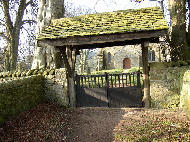
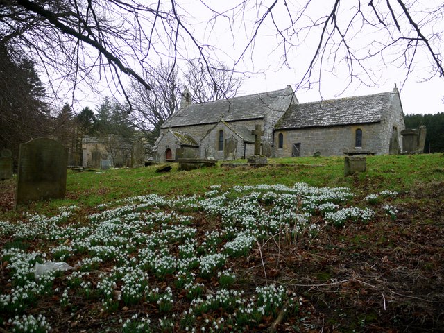
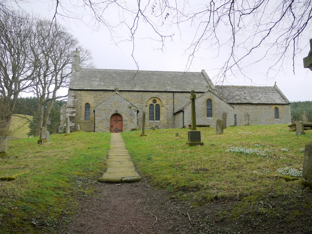
The village is known for its rich history, dating back to medieval times when it served as a stopping point for pilgrims traveling to the Holy Island of Lindisfarne. Today, remnants of its past can still be seen in the form of the St. Michael's Church, which dates back to the 12th century and is a popular attraction for history enthusiasts.

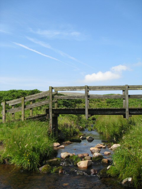
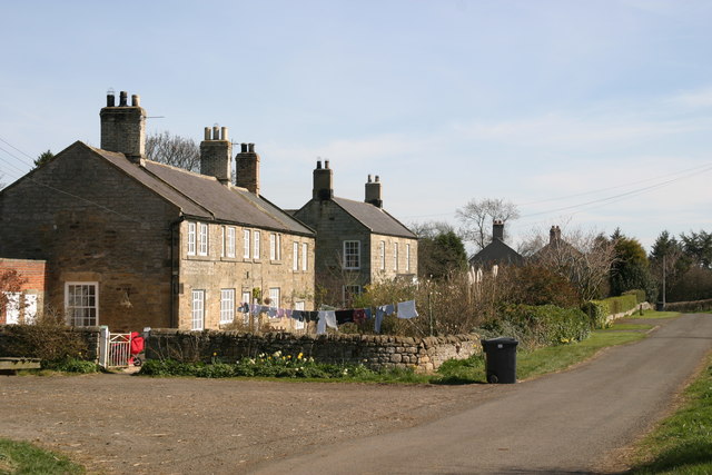
With a population of less than 100 people, Alnham maintains a close-knit community atmosphere. Its charm lies in its traditional stone houses, cobblestone streets, and the peaceful Alnham Burn that meanders through the village.

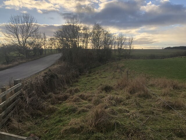
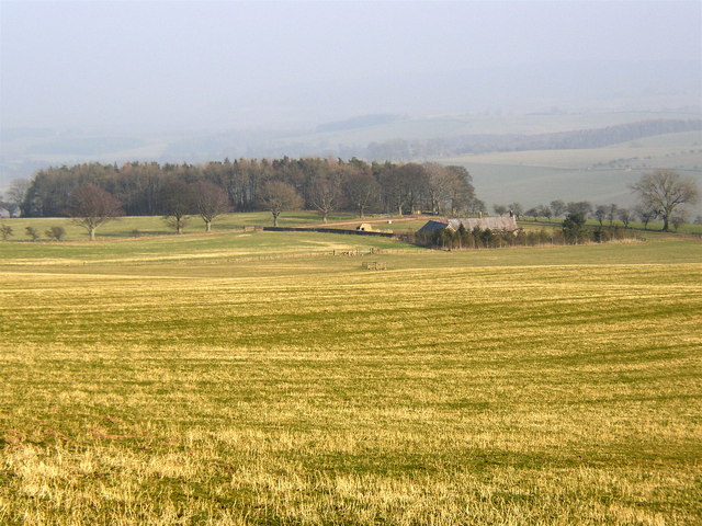
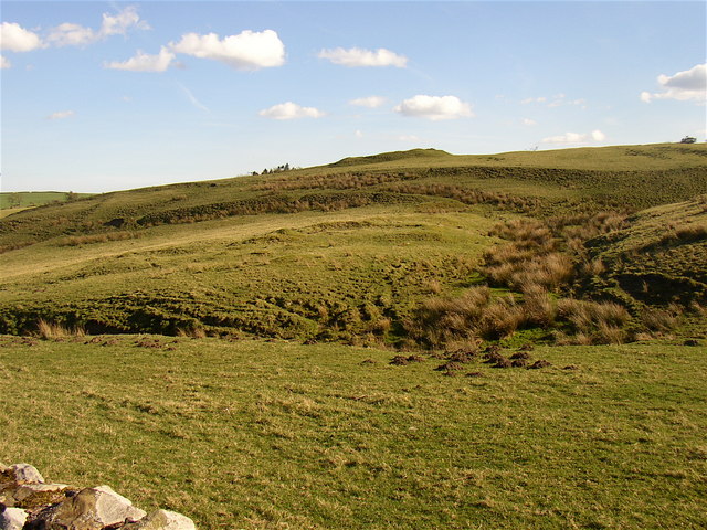
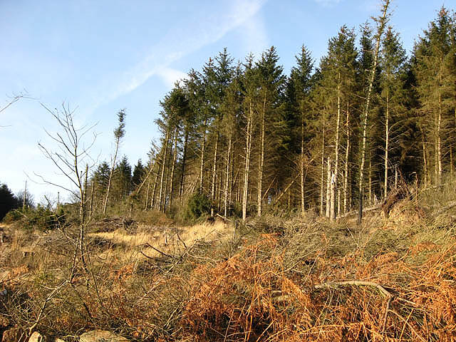
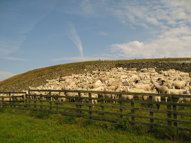
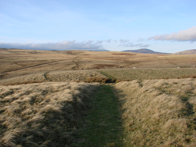
Surrounded by rolling hills and vast moorland, Alnham is a haven for outdoor enthusiasts. The nearby Cheviot Hills provide ample opportunities for hiking, cycling, and birdwatching. Additionally, the village is located along the St. Oswald's Way, a long-distance footpath that runs through Northumberland, attracting walkers from all over.

Although small in size, Alnham offers basic amenities such as a village hall and a pub, ensuring the needs of its residents are met. For more extensive facilities, the market town of Alnwick is approximately 15 miles away, providing a wider range of shops, schools, and services.

In summary, Alnham is a charming village nestled in the scenic Northumberland countryside, boasting a rich history, stunning natural landscapes, and a close-knit community.

If you have any feedback on the listing, please let us know in the comments section below.
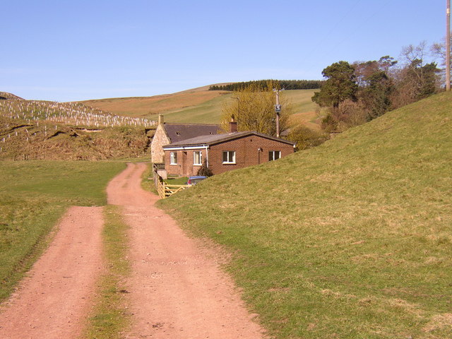
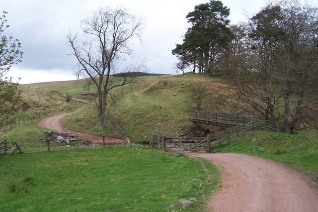
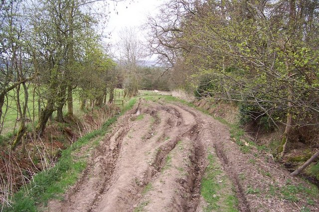
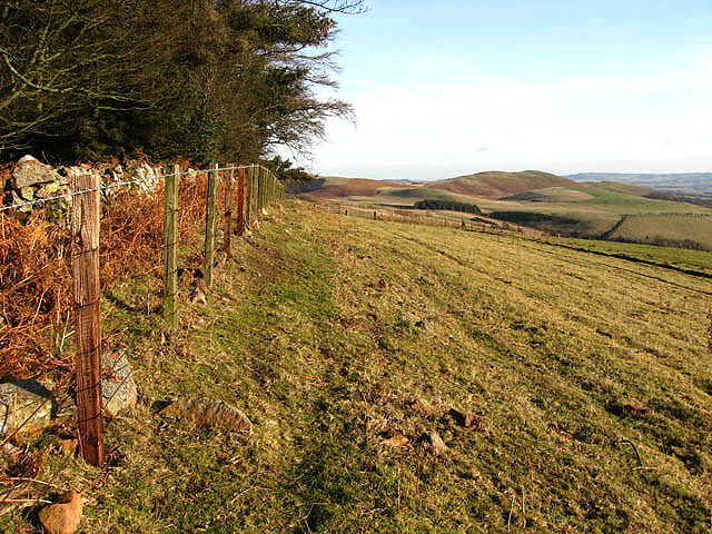
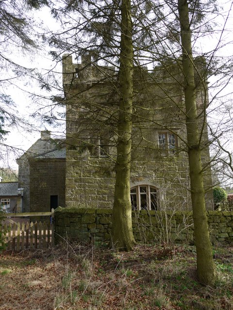
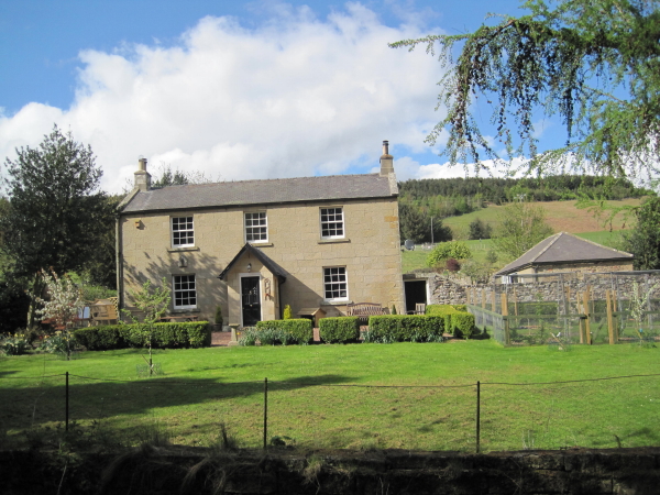
Alnham Images

Images are sourced within 2km of 55.391989/-2.008253 or Grid Reference NT9910. Thanks to Geograph Open Source API. All images are credited.

Union Gate A road junction but with one road unadopted.
Union Gate
A road junction but with one road unadopted.
Lytchgate at Alnham Church
Northfieldhead
Northfieldhead
Site of ancient castle at Alnham
Hazeltonrig
Hazeltonrig
Alnham Church, Alnham The chancel arch is Norman, but its round pillars rest on 13th century capitals. The south transept is also Norman, with a pointed arch of the 13th century.
Alnham Church, Alnham
The chancel arch is Norman, but its round pillars rest on 13th century capitals. The south transept is also Norman, with a pointed arch of the 13th century.
Spartley Burn Bridge
Salters Road A Medieval road used for taking salt over the border into Scotland, very deeply rutted now as it is a popular Motorbike track.
Salters Road
A Medieval road used for taking salt over the border into Scotland, very deeply rutted now as it is a popular Motorbike track.
Hill farmland The top of a sloping grazing field to the northwest of Prendwick.
Hill farmland
The top of a sloping grazing field to the northwest of Prendwick.
Forestry on Ewe Hill A plantation with some wind damaged trees.
Forestry on Ewe Hill
A plantation with some wind damaged trees.
Crossing Spartley Burn This footbridge keeps the walkers feet dry as the stream is crossed.
Crossing Spartley Burn
This footbridge keeps the walkers feet dry as the stream is crossed.
Penned in tight! These skittish sheep were awaiting the farmer.
Penned in tight!
These skittish sheep were awaiting the farmer.
Salters Road in the Cheviot Hills Salters Road is part of a route believed to have been used by salt traders in the medieval period. The road went through Rothbury to Alnham, and then onto the junction with Clennel Street where it went North to the Borders.
Salters Road in the Cheviot Hills
Salters Road is part of a route believed to have been used by salt traders in the medieval period. The road went through Rothbury to Alnham, and then onto the junction with Clennel Street where it went North to the Borders.
Church of St Michael, Alnham I am a little uncertain about the full dedication of this beautiful, remote church. Both 'St Michael the Archangel' and 'St Michael & All Angels' appear to be in use. Normally I would take a photograph of the external notice board to aid my Geograph posting. If there was such a notice, and I had photographed it, the evidence was probably deleted soon after my post. Another visit is clearly necessary in the cause of accuracy.

According to the Northumberland National Park Historic Village Atlas of Alnham: "the modern dedication of the church is in honour of St Michael the Archangel, but there is no evidence this predates the reformation (NCH XIV (1935), 562)".
Northumberland National Park Historic Village Atlas Alnham: <span class="nowrap"><a title="http://www.northumberlandnationalpark.org.uk/understanding/historyarchaeology/historicvillageatlas/villageatlasalnham" rel="nofollow ugc noopener" href="http://www.northumberlandnationalpark.org.uk/understanding/historyarchaeology/historicvillageatlas/villageatlasalnham">Link</a><img style="margin-left:2px;" alt="External link" title="External link - shift click to open in new window" src="https://s1.geograph.org.uk/img/external.png" width="10" height="10"/></span>
Church of St Michael, Alnham
I am a little uncertain about the full dedication of this beautiful, remote church. Both 'St Michael the Archangel' and 'St Michael & All Angels' appear to be in use. Normally I would take a photograph of the external notice board to aid my Geograph posting. If there was such a notice, and I had photographed it, the evidence was probably deleted soon after my post. Another visit is clearly necessary in the cause of accuracy. According to the Northumberland National Park Historic Village Atlas of Alnham: "the modern dedication of the church is in honour of St Michael the Archangel, but there is no evidence this predates the reformation (NCH XIV (1935), 562)". Northumberland National Park Historic Village Atlas Alnham: LinkExternal link
The Vicar’s Pele, Alnham Northumberland National Park Historic Village Atlas for Alnham: <span class="nowrap"><a title="http://www.northumberlandnationalpark.org.uk/understanding/historyarchaeology/historicvillageatlas/villageatlasalnham/alnhamhistory" rel="nofollow ugc noopener" href="http://www.northumberlandnationalpark.org.uk/understanding/historyarchaeology/historicvillageatlas/villageatlasalnham/alnhamhistory">Link</a><img style="margin-left:2px;" alt="External link" title="External link - shift click to open in new window" src="https://s1.geograph.org.uk/img/external.png" width="10" height="10"/></span>
This tower house is just west of the church, hidden by trees. The track crossing the ford is the route of Salter's road on its way into the Cheviot Hills and across the Border to Scotland. The stream is part of the infant River Aln which rises close to the village.
The Vicar’s Pele, Alnham
Northumberland National Park Historic Village Atlas for Alnham: LinkExternal link This tower house is just west of the church, hidden by trees. The track crossing the ford is the route of Salter's road on its way into the Cheviot Hills and across the Border to Scotland. The stream is part of the infant River Aln which rises close to the village.
Gate to the Vicarage, Alnham Ornate gate complete with hanging bats.
Gate to the Vicarage, Alnham
Ornate gate complete with hanging bats.
Church of St Michael,  Alnham Either 'Church of St Michael the Archangel' or 'Church of St Michael & All Angels'.
Until one of us manages another visit, we remain in doubt, as both appear to be in use.
An archangel is said to be a powerful angel that leads many other angels, but is still loyal to a deity. In Christian angelology, an archangel is an angel from the third level or choir of angels, ranked above virtues and below powers. The archangel Michael is particularly venerated in the Roman Catholic Church  <span class="nowrap"><a title="http://en.wikipedia.org/wiki/Michael_%28archangel%29" rel="nofollow ugc noopener" href="http://en.wikipedia.org/wiki/Michael_%28archangel%29">Link</a><img style="margin-left:2px;" alt="External link" title="External link - shift click to open in new window" src="https://s1.geograph.org.uk/img/external.png" width="10" height="10"/></span>
Church of St Michael, Alnham
Either 'Church of St Michael the Archangel' or 'Church of St Michael & All Angels'. Until one of us manages another visit, we remain in doubt, as both appear to be in use. An archangel is said to be a powerful angel that leads many other angels, but is still loyal to a deity. In Christian angelology, an archangel is an angel from the third level or choir of angels, ranked above virtues and below powers. The archangel Michael is particularly venerated in the Roman Catholic Church LinkExternal link
The Vicar’s Pele, Alnham
Show me another place!

Alnham is located at Grid Ref: NT9910 (Lat: 55.391989, Lng: -2.008253)

Unitary Authority: Northumberland

Police Authority: Northumbria

What 3 Words

///delays.ramble.sunblock. Near Whittingham, Northumberland

Nearby Locations

Alnham

Related Wikis

Nearby Amenities

Located within 500m of 55.391989,-2.008253
Alnham
Place: hamlet
Lat/Long: 55.392707/-2.0126997
Ford: yes
Lat/Long: 55.392098/-2.0048983
Post Box
Ref: NE66 4
Lat/Long: 55.391424/-2.009476
Direction: 145
Generator Method: photovoltaic
Generator Output Electricity: yes
Generator Solar Modules: 16
Generator Source: solar
Generator Type: solar_photovoltaic_panel
Location: roof
Power: generator
Lat/Long: 55.3924589/-2.0041338
Direction: S
Generator Method: photovoltaic
Generator Output Electricity: yes
Generator Solar Modules: 18
Generator Source: solar
Generator Type: solar_photovoltaic_panel
Location: roof
Power: generator
Lat/Long: 55.3894654/-2.0108005
The data included in this document is from www.openstreetmap.org. The data is made available under ODbL.

Have you been to Alnham?

Leave your review of Alnham below (or comments, questions and feedback).