Brownrigg
Settlement in Cumberland Allerdale
England
Brownrigg

Brownrigg is a small village located in the county of Cumberland, England. Situated in the picturesque Lake District National Park, it is surrounded by rolling hills, lush greenery, and breathtaking natural beauty. The village is nestled in close proximity to the larger towns of Wigton and Carlisle, offering a tranquil and idyllic setting for its residents.
With a population of approximately 300 people, Brownrigg exudes a strong sense of community, where residents are known for their warmth and friendliness. The village is primarily residential, consisting of traditional stone cottages and farmhouses that add to its rustic charm. The local economy is largely driven by agriculture and tourism, with many residents involved in farming and hospitality businesses.
In terms of amenities, Brownrigg boasts a small village hall that serves as a hub for community events and gatherings. The nearest primary school is located in the nearby town of Wigton, while secondary schools are found in Carlisle. Despite its rural location, Brownrigg benefits from good transportation links, with regular bus services connecting it to surrounding towns and villages.
Nature enthusiasts are drawn to Brownrigg for its proximity to the Lake District, offering a plethora of outdoor activities such as hiking, cycling, and fishing. The village is also within easy reach of the Solway Coast, a designated Area of Outstanding Natural Beauty, known for its stunning coastline and diverse wildlife.
Overall, Brownrigg is a charming and peaceful village, offering residents and visitors alike a serene escape amidst the natural wonders of Cumberland.
If you have any feedback on the listing, please let us know in the comments section below.
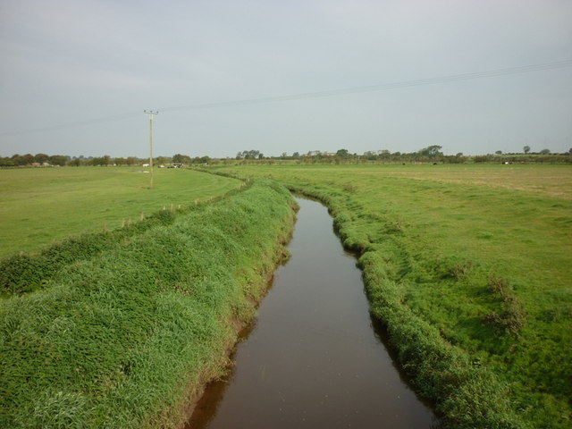
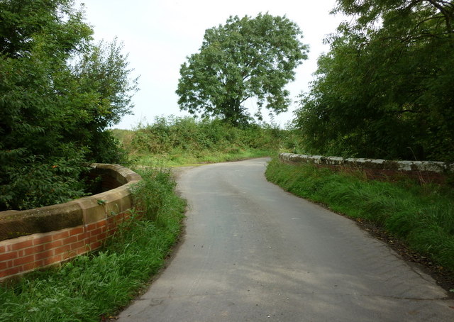
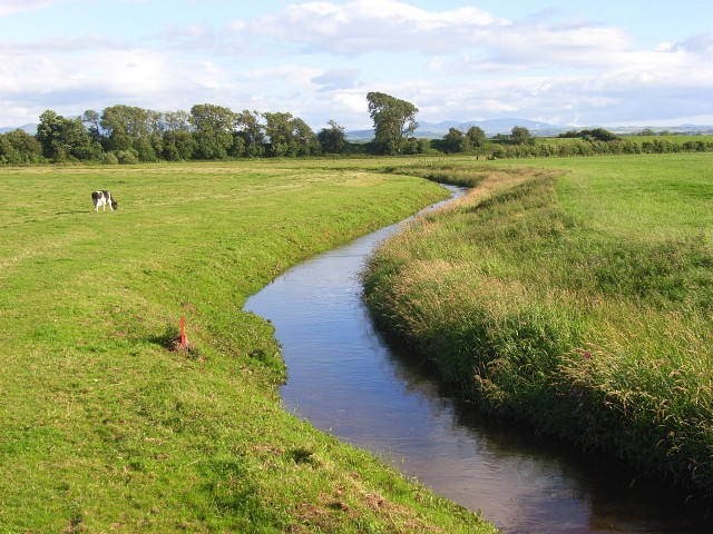
Brownrigg Images
Images are sourced within 2km of 54.863399/-3.2958488 or Grid Reference NY1652. Thanks to Geograph Open Source API. All images are credited.


Brownrigg is located at Grid Ref: NY1652 (Lat: 54.863399, Lng: -3.2958488)
Administrative County: Cumbria
District: Allerdale
Police Authority: Cumbria
What 3 Words
///germinate.grudging.drummers. Near Silloth, Cumbria
Nearby Locations
Related Wikis
River Waver
The River Waver is a river in Cumbria, England. The river rises at Wavergillhead (as Townthwaite Beck). It is fed by the northwards flowing Thornthwaite...

Abbey Junction railway station
Abbey Junction railway station was the railway junction where the branch line to Silloth on the Solway Firth divided from the Solway Junction Railway...

Abbey Town railway station
Abbey Town railway station was on the branch line off the Solway Junction Railway in the English county of Cumberland (later Cumbria). The first station...

Abbeytown
Abbeytown, also known as Holme Abbey, is a village and civil parish in the Allerdale borough of Cumbria, England. The name Abbeytown dates to the mid-17th...

Solway Plain
The Solway Plain or Solway Basin is a coastal plain located mostly in northwest Cumbria in England, extending just over the Scottish border to the low...

Holmcultram Abbey
Holmcultram Abbey (alternatively Holm Cultram Abbey or Holme Cultram Abbey) was a Cistercian monastery in what is now the village of Abbeytown in Cumbria...
St Mary's Church, Abbeytown
St Mary's Church is in the village of Abbeytown, Cumbria, England. It is an active Anglican parish church in the deanery of Solway, the archdeaconry of...

Raby, Cumbria
Raby is a small hamlet in the civil parish of Holme East Waver in Cumbria, United Kingdom. == See also == Listed buildings in Holme East Waver == References... ==
Nearby Amenities
Located within 500m of 54.863399,-3.2958488Have you been to Brownrigg?
Leave your review of Brownrigg below (or comments, questions and feedback).