Brownrigg

Settlement in Cumberland Carlisle

England

Brownrigg

Track by Chapel Farm The barn on the right is part of Chapel Farm.  The former Wesleyan Methodist Chapel that gave it its name is the cottage in the centre of the photograph.
Track by Chapel Farm Credit: Adrian Taylor

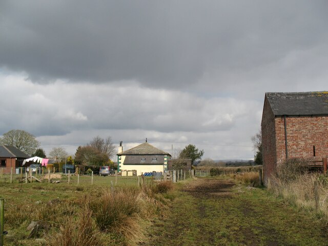
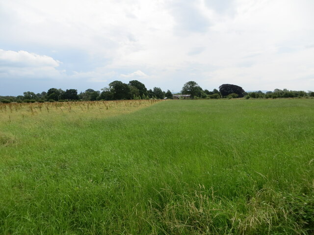
Brownrigg is a small village located in the county of Cumberland, in the northwestern part of England. Situated near the Solway Firth, it lies approximately 8 miles southwest of the town of Wigton and 16 miles northwest of the city of Carlisle. The village is nestled amidst the picturesque countryside, with rolling hills and lush green fields surrounding it.

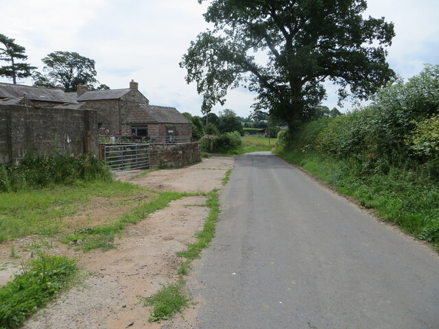
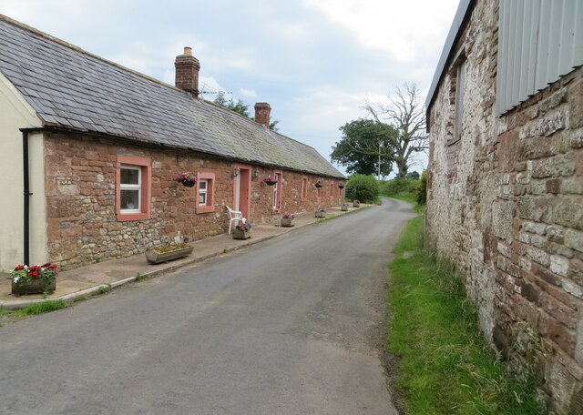
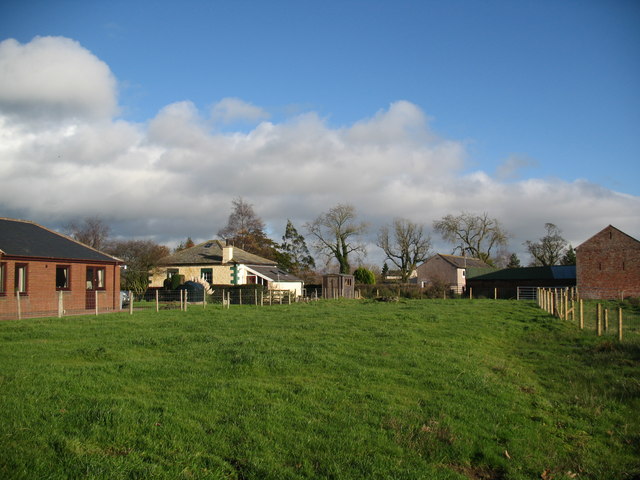
With a population of around 200 residents, Brownrigg exudes a tranquil and close-knit community atmosphere. The village mainly consists of traditional stone-built houses, giving it a charming and rustic character. The architecture reflects the historical significance of the area, as it was once an important agricultural hub.

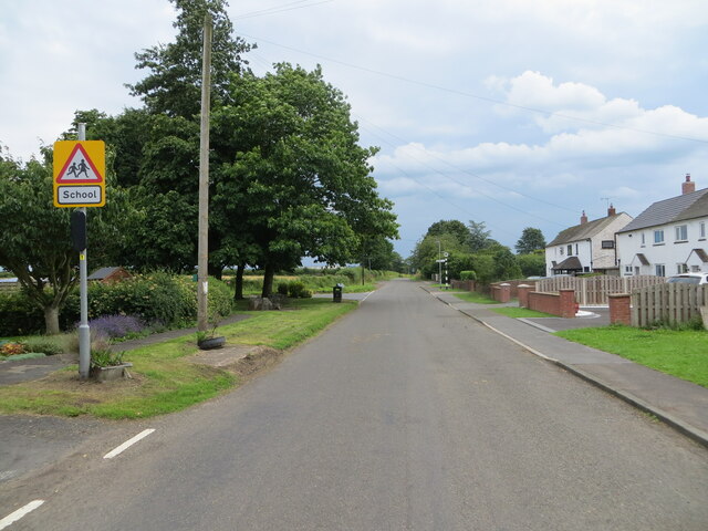
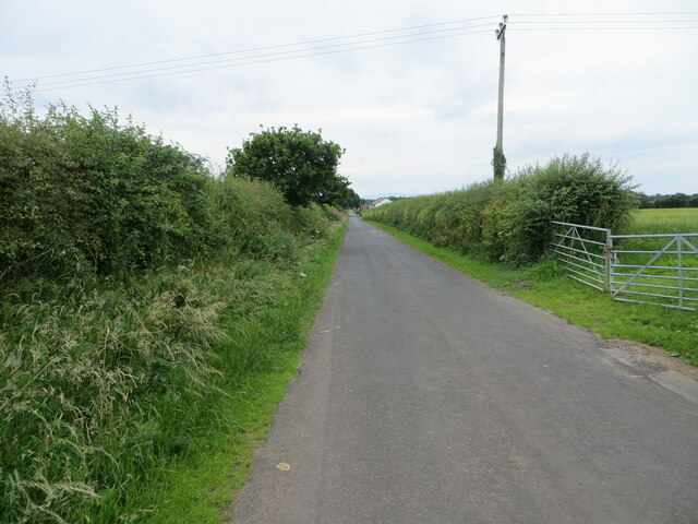
The village is well-connected to neighboring towns and cities via the A596 road, which passes through it. This allows for easy access to amenities and services in nearby urban centers. Despite its small size, Brownrigg is equipped with essential facilities such as a local primary school, a village hall, and a church, which serve as focal points for community gatherings and events.

Nature enthusiasts will find Brownrigg to be an ideal location, as it is surrounded by natural beauty. The nearby Solway Firth provides opportunities for coastal walks and birdwatching, while the rolling hills offer excellent hiking and cycling routes. The village is also within close proximity to the Lake District National Park, renowned for its stunning landscapes and outdoor recreational activities.

All in all, Brownrigg is a charming village that offers a peaceful countryside lifestyle, with its historical architecture, strong community spirit, and access to natural beauty.

If you have any feedback on the listing, please let us know in the comments section below.
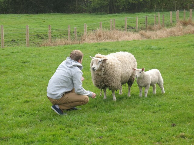
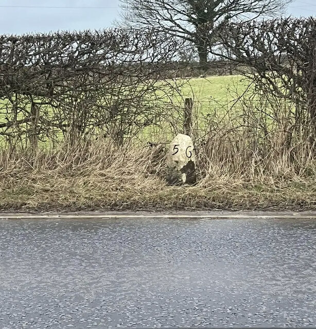
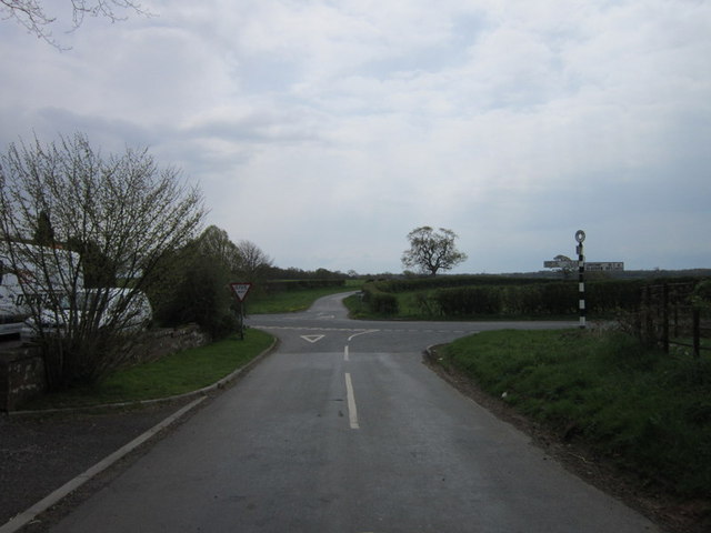
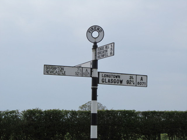
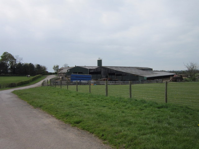
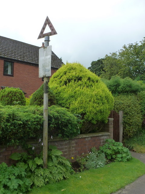
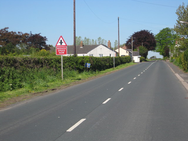
Brownrigg Images

Images are sourced within 2km of 54.974383/-2.8746096 or Grid Reference NY4464. Thanks to Geograph Open Source API. All images are credited.

Track by Chapel Farm The barn on the right is part of Chapel Farm.  The former Wesleyan Methodist Chapel that gave it its name is the cottage in the centre of the photograph.
Track by Chapel Farm
The barn on the right is part of Chapel Farm. The former Wesleyan Methodist Chapel that gave it its name is the cottage in the centre of the photograph.
Date stone, Wesley Cottage Wesley Cottage, a private house, was formerly Scalebyhill Wesleyan Methodist Chapel.  The date stone, originally on the front of the chapel was later moved to the side of the porch when that was added during subsequent alterations.
The date stone reads ‘Wesleyan Methodist Chapel 1828’.
Date stone, Wesley Cottage
Wesley Cottage, a private house, was formerly Scalebyhill Wesleyan Methodist Chapel. The date stone, originally on the front of the chapel was later moved to the side of the porch when that was added during subsequent alterations. The date stone reads ‘Wesleyan Methodist Chapel 1828’.
Minor road at Hetherside Looking south-eastward.
Minor road at Hetherside
Looking south-eastward.
Skitby Road, Smithfield Looking north-eastward.
Skitby Road, Smithfield
Looking north-eastward.
Hay field near to Rigghead Looking south-eastward in the direction of Sikeside
Hay field near to Rigghead
Looking south-eastward in the direction of Sikeside
Hedge enclosed minor road approaching Whitehill Farm Looking south-westward.
Hedge enclosed minor road approaching Whitehill Farm
Looking south-westward.
Minor road at Dykeside Looking south-eastward.
Minor road at Dykeside
Looking south-eastward.
Signpost at Burnhill This signpost opposite the Old Post Office at Burnhill has Carlisle spelled incorrectly.
Signpost at Burnhill
This signpost opposite the Old Post Office at Burnhill has Carlisle spelled incorrectly.
A conversation?
A conversation?
Old Milestone by the A6071, east of Smithfield Carved stone post by the A6071, in parish of KIRKLINTON MIDDLE (CARLISLE District), East of Smithfield, on grass verge, on North side of road. Carlisle red stone numeral, erected by the Brampton & Longtown turnpike trust in the 19th century. 

Inscription reads:-
: 5 : : 6 :

Grade II Listed. List Entry Number: 1087628

<span class="nowrap"><a title="https://historicengland.org.uk/listing/the-list/list-entry/1087628" rel="nofollow ugc noopener" href="https://historicengland.org.uk/listing/the-list/list-entry/1087628">Link</a><img style="margin-left:2px;" alt="External link" title="External link - shift click to open in new window" src="https://s1.geograph.org.uk/img/external.png" width="10" height="10"/></span>

Milestone Society National ID: CU_LTBR05.
Old Milestone by the A6071, east of Smithfield
Carved stone post by the A6071, in parish of KIRKLINTON MIDDLE (CARLISLE District), East of Smithfield, on grass verge, on North side of road. Carlisle red stone numeral, erected by the Brampton & Longtown turnpike trust in the 19th century. Inscription reads:- : 5 : : 6 : Grade II Listed. List Entry Number: 1087628 LinkExternal link Milestone Society National ID: CU_LTBR05.
Wesley Cottage and Chapel Farm Small field to the rear of Wesley Cottage, a former Methodist Chapel.
Wesley Cottage and Chapel Farm
Small field to the rear of Wesley Cottage, a former Methodist Chapel.
Cheep nest boxes for sale This amusing sign was outside a house on the north side of the A6071 at Smithfield. When I stopped to take a photo the house owner came out for a friendly chat. He makes the boxes and sells them for charity. I would have bought one but my garden is well stocked with bird boxes.
Cheep nest boxes for sale
This amusing sign was outside a house on the north side of the A6071 at Smithfield. When I stopped to take a photo the house owner came out for a friendly chat. He makes the boxes and sells them for charity. I would have bought one but my garden is well stocked with bird boxes.
The crossroads at Fir End
Newcastle 521/2 miles, Glasgow 923/4 miles A sign post at Fir End.
Newcastle 521/2 miles, Glasgow 923/4 miles
A sign post at Fir End.
Newbiggin Farm
Newbiggin Farm
A path to Willow Hill
Smithfield: pre-Worboys road sign An old-fashioned signpost pre-dating the modern signage which sprang from the Worboys report of 1964, this sign warns of a crossroads ahead, unseen because of the left bend immediately ahead of us, before the junction.

The faded + symbol denopting crossroads can be discerned more clearly than the wording "CROSS ROADS" which is even more faded in the rectangle below the cross.
Smithfield: pre-Worboys road sign
An old-fashioned signpost pre-dating the modern signage which sprang from the Worboys report of 1964, this sign warns of a crossroads ahead, unseen because of the left bend immediately ahead of us, before the junction. The faded + symbol denopting crossroads can be discerned more clearly than the wording "CROSS ROADS" which is even more faded in the rectangle below the cross.
Looking back to Smithfield in Cumbria The charming village sits on the A6071, Longtown to Brampton road.
Looking back to Smithfield in Cumbria
The charming village sits on the A6071, Longtown to Brampton road.
Show me another place!

Brownrigg is located at Grid Ref: NY4464 (Lat: 54.974383, Lng: -2.8746096)

Administrative County: Cumbria

District: Carlisle

Police Authority: Cumbria

What 3 Words

///lines.harshest.goodnight. Near Longtown, Cumbria

Nearby Locations

Brownrigg

Related Wikis

Smithfield, Cumbria

Smithfield is a village located in the parish of Kirklinton Middle approximately 8 miles north of Carlisle in Cumbria, United Kingdom, and has a population...

Skitby

Skitby is a hamlet in the English county of Cumbria. Skitby lies northeast of the village of Smithfield. == External links == Map sources for Skitby

Scaleby

Scaleby is a village and civil parish in the English county of Cumbria. It is bounded on the north by Kirklinton and Irthington; whilst to the south lie...

Kirklinton Middle

Kirklinton Middle is a civil parish in City of Carlisle district, Cumbria, England. At the 2011 census it had a population of 384.The parish is bordered...

Nearby Amenities

Located within 500m of 54.974383,-2.8746096
Power: tower
Lat/Long: 54.9748383/-2.8808905
Power: tower
Lat/Long: 54.9757715/-2.8765621
Power: tower
Lat/Long: 54.9768044/-2.8717454
Barrier: cattle_grid
Lat/Long: 54.9746667/-2.8744667
Power: pole
Lat/Long: 54.9718708/-2.8790655
Power: pole
Lat/Long: 54.9719066/-2.8774466
Power: pole
Lat/Long: 54.9719383/-2.8759837
Power: pole
Lat/Long: 54.9719749/-2.8744116
Power: pole
Lat/Long: 54.9720034/-2.873269
Power: pole
Lat/Long: 54.9720376/-2.8720627
Power: pole
Lat/Long: 54.9720595/-2.8706777
Power: pole
Lat/Long: 54.9720953/-2.8693197
Power: pole
Lat/Long: 54.972097/-2.8679971
Power: pole
Lat/Long: 54.9732182/-2.8819287
Power: pole
Lat/Long: 54.9733598/-2.8804818
Power: pole
Lat/Long: 54.9734973/-2.8788744
Power: pole
Lat/Long: 54.9736128/-2.8775234
Power: pole
Lat/Long: 54.9737393/-2.8762274
The data included in this document is from www.openstreetmap.org. The data is made available under ODbL.

Have you been to Brownrigg?

Leave your review of Brownrigg below (or comments, questions and feedback).