Browns Lane

Settlement in Staffordshire Tamworth

England

Browns Lane

St Leonard's Church  (1) The above photograph shows the Lychgate, which is the main entrance to the Graveyard and Church.
St Leonard's Church (1) Credit: Chris' Buet

Browns Lane is a small village located in the county of Staffordshire, England. Situated in the West Midlands region, it is part of the larger district of Lichfield. The village is nestled in a rural setting, surrounded by picturesque countryside and rolling hills.

Browns Lane is primarily a residential area with a population of around 500 people. The village is known for its tranquil and idyllic atmosphere, attracting those seeking a peaceful retreat from the hustle and bustle of city life. The architecture in Browns Lane consists mainly of traditional English cottages and houses, lending a charming and timeless feel to the area.

Despite its small size, Browns Lane offers a range of amenities to its residents. There is a local primary school, providing education for children within the village and the surrounding areas. The village also boasts a community center, which hosts various events and activities, fostering a strong sense of community spirit among its residents.

The surrounding countryside provides ample opportunities for outdoor activities such as hiking, cycling, and horse riding. Additionally, the nearby Cannock Chase, an Area of Outstanding Natural Beauty, offers stunning landscapes and is a popular destination for nature enthusiasts.

Although Browns Lane may be small in size, its peaceful ambiance, close-knit community, and access to beautiful countryside make it an attractive place to live for those seeking a quieter, rural lifestyle.

If you have any feedback on the listing, please let us know in the comments section below.
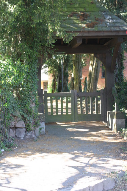
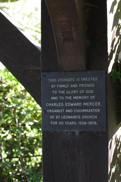
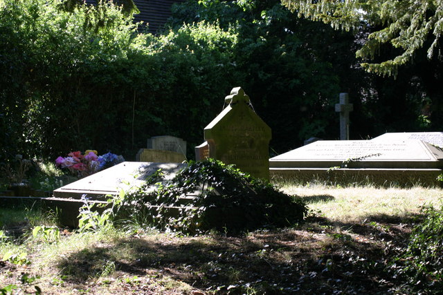
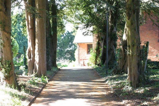
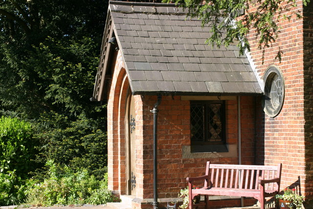
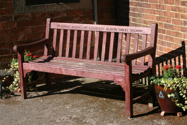
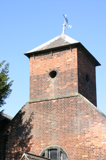
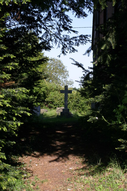
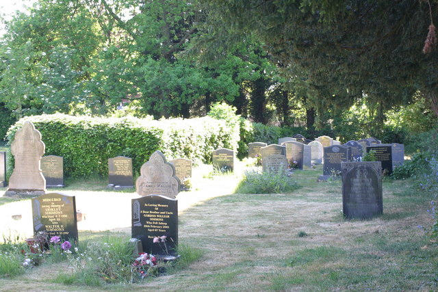
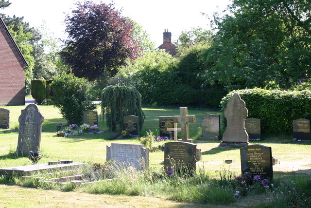
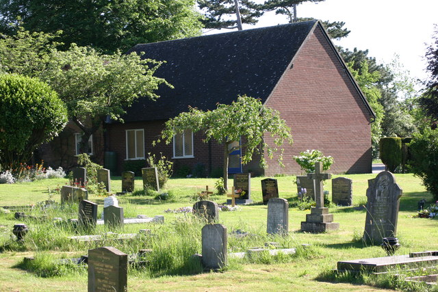
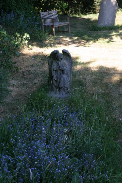
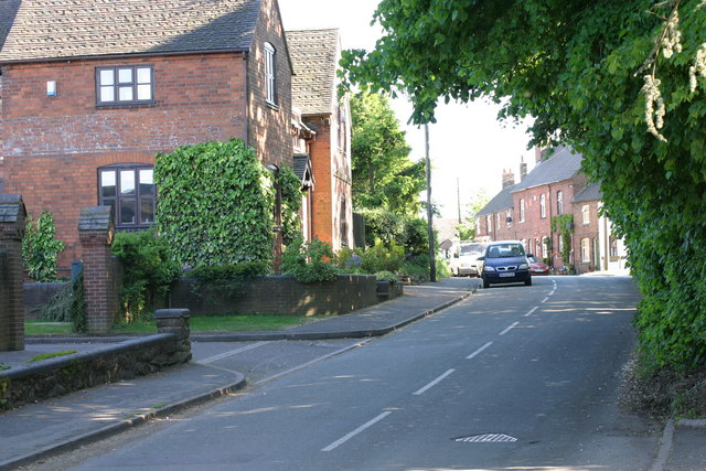
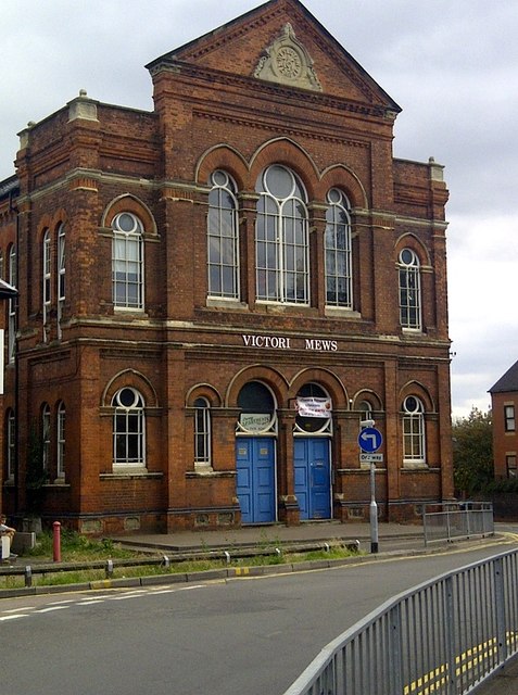
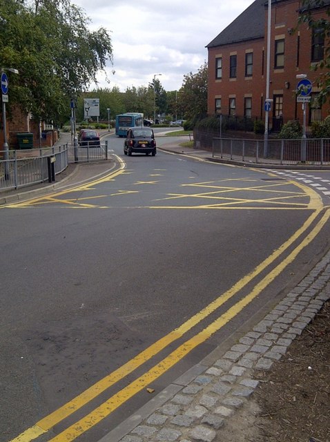
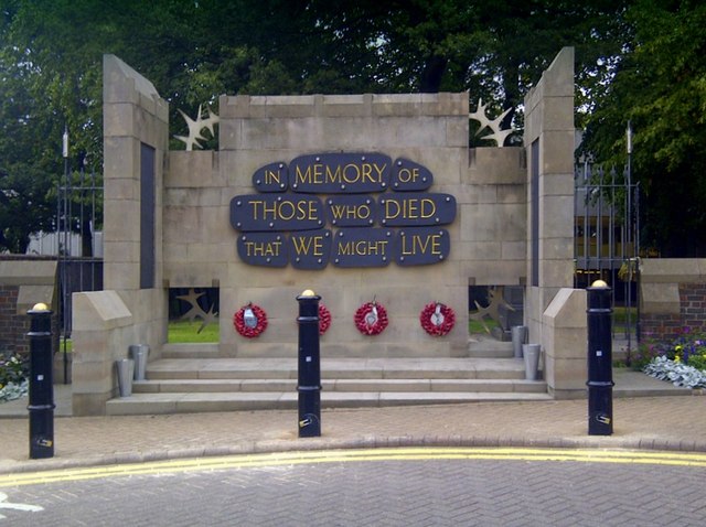
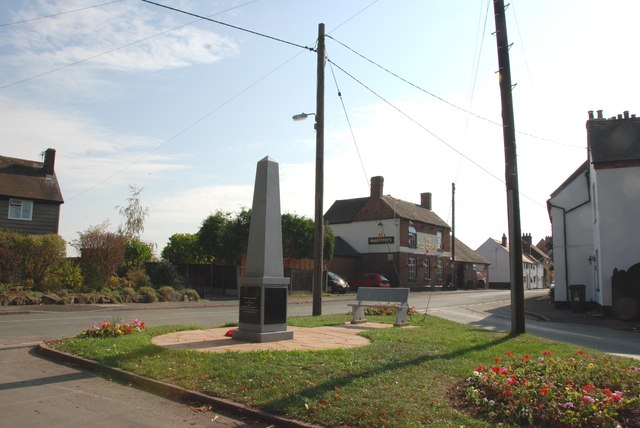
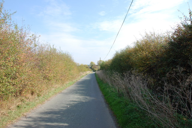
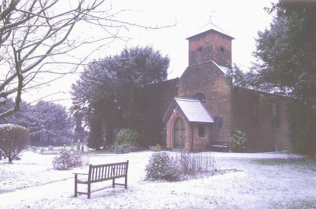
Browns Lane Images

Images are sourced within 2km of 52.648163/-1.6872009 or Grid Reference SK2105. Thanks to Geograph Open Source API. All images are credited.

St Leonard's Church  (1) The above photograph shows the Lychgate, which is the main entrance to the Graveyard and Church.
St Leonard's Church (1)
The above photograph shows the Lychgate, which is the main entrance to the Graveyard and Church.
St Leonard's Church  (2) The plaque in the above photograph is attached to the Lychgate in this photograph <a href="https://www.geograph.org.uk/photo/2393376">SK2006 : St Leonard's Church  (1)</a>
St Leonard's Church (2)
The plaque in the above photograph is attached to the Lychgate in this photograph SK2006 : St Leonard's Church (1)
St Leonard's  Church  (3) This photograph <a href="https://www.geograph.org.uk/photo/2393376">SK2006 : St Leonard's Church  (1)</a> shows the Lychgate, which is the main entrance to the Graveyard shown in the above photograph.
St Leonard's Church (3)
This photograph SK2006 : St Leonard's Church (1) shows the Lychgate, which is the main entrance to the Graveyard shown in the above photograph.
St Leonards  Church  (4) The path in the above photograph leads from the Lychgated entrance up to the Church. This photograph shows <a href="https://www.geograph.org.uk/photo/2393376">SK2006 : St Leonard's Church  (1)</a> a view of that Lychgate.
St Leonards Church (4)
The path in the above photograph leads from the Lychgated entrance up to the Church. This photograph shows SK2006 : St Leonard's Church (1) a view of that Lychgate.
St Leonard's Church  (5) The above photograph shows the church's main entrance. This photograph <a href="https://www.geograph.org.uk/photo/2393417">SK2006 : St Leonard's  Church  (3)</a> shows a view of this church's graveyard.
St Leonard's Church (5)
The above photograph shows the church's main entrance. This photograph SK2006 : St Leonard's Church (3) shows a view of this church's graveyard.
St Leonard's  Church  (6) The above photograph shows a memorial bench located outside the Church entrance, which can be seen in this photograph <a href="https://www.geograph.org.uk/photo/2393473">SK2006 : St Leonard's Church  (5)</a>.
St Leonard's Church (6)
The above photograph shows a memorial bench located outside the Church entrance, which can be seen in this photograph SK2006 : St Leonard's Church (5).
St Leonards Church  (7) The above photograph shows the Church Tower. This photograph <a href="https://www.geograph.org.uk/photo/2393376">SK2006 : St Leonard's Church  (1)</a> shows a view of this Churches Lychgate.
St Leonards Church (7)
The above photograph shows the Church Tower. This photograph SK2006 : St Leonard's Church (1) shows a view of this Churches Lychgate.
St Leonards Church  (8) The above photograph shows a view of this Churches Graveyard. This photograph <a href="https://www.geograph.org.uk/photo/2393473">SK2006 : St Leonard's Church  (5)</a> shows a view of this Church.
St Leonards Church (8)
The above photograph shows a view of this Churches Graveyard. This photograph SK2006 : St Leonard's Church (5) shows a view of this Church.
St Leonards Church  (9) This photograph <a href="https://www.geograph.org.uk/photo/2393417">SK2006 : St Leonard's  Church  (3)</a> shows another view of this Graveyard.
St Leonards Church (9)
This photograph SK2006 : St Leonard's Church (3) shows another view of this Graveyard.
St Leonards Church  (10) This photograph <a href="https://www.geograph.org.uk/photo/2393441">SK2006 : St Leonards  Church  (4)</a> shows a path located within the Graveyard shown in the photograph above.
St Leonards Church (10)
This photograph SK2006 : St Leonards Church (4) shows a path located within the Graveyard shown in the photograph above.
St Leonards Church  (11) This photograph <a href="https://www.geograph.org.uk/photo/2412066">SK2006 : St Leonards Church  (8)</a> shows another view of this Graveyard.
St Leonards Church (11)
This photograph SK2006 : St Leonards Church (8) shows another view of this Graveyard.
St Leonards Church  (12) The above photograph <a href="https://www.geograph.org.uk/photo/2412090">SK2006 : St Leonards Church  (10)</a> shows a Stone Angel, located at a Grave. This photograph shows another view of this Graveyard.
St Leonards Church (12)
The above photograph SK2006 : St Leonards Church (10) shows a Stone Angel, located at a Grave. This photograph shows another view of this Graveyard.
Main Street The above photograph shows a view of Main Street, which is located next to St Leonard's Church, which is located out of view just to the right hand side of the above photograph. This photograph <a href="https://www.geograph.org.uk/photo/2393376">SK2006 : St Leonard's Church  (1)</a> shows a view of the Lychgate which is located next to the above stretch of road.
Main Street
The above photograph shows a view of Main Street, which is located next to St Leonard's Church, which is located out of view just to the right hand side of the above photograph. This photograph SK2006 : St Leonard's Church (1) shows a view of the Lychgate which is located next to the above stretch of road.
Victoria Mews An old building converted into flats. Victoria Road in Tamworth B79 comprises 109 properties. Over half of them are residential (i.e. there are a total of 67 homes in Victoria Road).
Victoria Mews
An old building converted into flats. Victoria Road in Tamworth B79 comprises 109 properties. Over half of them are residential (i.e. there are a total of 67 homes in Victoria Road).
One Way System Victoria Road is off to the right hand side of the one way system.
One Way System
Victoria Road is off to the right hand side of the one way system.
War Memorial War Memorial - outside St Editha's Church
War Memorial
War Memorial - outside St Editha's Church
Obelisk on the Green, Wigginton This is where the Comberford lane meets the main road in Wigginton, with the Old Crown pub in the background.
Obelisk on the Green, Wigginton
This is where the Comberford lane meets the main road in Wigginton, with the Old Crown pub in the background.
Syerscote Lane, Wigginton This lane is a single track, covering seven squares on the OS map, it also has gates in places, so be prepared to have to turn back. I was lucky. The bridge over the railway is in the distance on this photo.
Syerscote Lane, Wigginton
This lane is a single track, covering seven squares on the OS map, it also has gates in places, so be prepared to have to turn back. I was lucky. The bridge over the railway is in the distance on this photo.
Show me another place!

Browns Lane is located at Grid Ref: SK2105 (Lat: 52.648163, Lng: -1.6872009)

Administrative County: Staffordshire

District: Tamworth

Police Authority: Staffordshire

What 3 Words

///dwell.video.hush. Near Tamworth, Staffordshire

Nearby Locations

Borough Park Browns Lane

Related Wikis

Borough Park, Tamworth

Borough Park is a small residential area of Tamworth, Staffordshire, 1 mile north of the town centre, and close to the River Anker. The area is served...

Perry Crofts

Perry Crofts is a housing estate in Tamworth, Staffordshire, England, built in the 1970s. It is a small suburb consisting of brick and wood houses. The...

Gillway

Gillway is a council estate in Tamworth, United Kingdom built in the 1950s. It is a small suburb consisting of brick and concrete houses and two storey...

Landau Forte Academy QEMS

Landau Forte Academy QEMS (Formerly "Queen Elizabeth's Mercian School", until 1 September 2011) is an 11-16 secondary school with academy status located...

Landau Forte Academy Tamworth Sixth Form

Landau Forte Academy Tamworth Sixth Form is a Sixth form centre and academy situated in Tamworth, Staffordshire, England. == History == The Sixth form...

The Rawlett School

The Rawlett School is a secondary school with academy status located on the outskirts of Tamworth, a market town in Staffordshire, England. It was previously...

Wigginton, Staffordshire

Wigginton is a village and former civil parish, now in the parish of Wigginton and Hopwas, in the Lichfield district, in the county of Staffordshire, England...

Tamworth railway station

Tamworth is a split-level railway station which serves the market town of Tamworth in Staffordshire, England. It is an interchange between two main lines...

Nearby Amenities

Located within 500m of 52.648163,-1.6872009
Bus Stop
Ashlands Close
Bus: yes
Naptan AtcoCode: 3800C903101
Naptan Bearing: S
Naptan CommonName: Ashlands Close
Naptan Indicator: Opp
Naptan Landmark: Ashlands Cl
Naptan PlusbusZoneRef: TAMWORTH
Naptan Street: Perrycrofts Cres
Naptan Verified: no
Public Transport: platform
Source: naptan_import
Lat/Long: 52.6447286/-1.6847913
Bus Stop
Browns Lane
Bus: yes
Naptan AtcoCode: 3800C904800
Naptan Bearing: SE
Naptan CommonName: Browns Lane
Naptan Indicator: Adj
Naptan Landmark: Browns Ln
Naptan PlusbusZoneRef: TAMWORTH
Naptan Street: Mildenhall
Naptan Verified: no
Public Transport: platform
Source: naptan_import
Lat/Long: 52.6486472/-1.6877785
Bus Stop
Ambulance Station
Bus: yes
Naptan AtcoCode: 3800C923801
Naptan Bearing: S
Naptan CommonName: Ambulance Station
Naptan Indicator: Adj
Naptan Landmark: Ambulance Station
Naptan PlusbusZoneRef: TAMWORTH
Naptan Street: Wigginton Rd
Naptan Verified: no
Public Transport: platform
Source: naptan_import
Lat/Long: 52.6483712/-1.6922443
Bus Stop
Hill Top Avenue
Bus: yes
Naptan AtcoCode: 3800C923802
Naptan Bearing: N
Naptan CommonName: Hill Top Avenue
Naptan Indicator: Adj
Naptan Landmark: Hill Top Ave
Naptan PlusbusZoneRef: TAMWORTH
Naptan Street: Wigginton Rd
Naptan Verified: no
Public Transport: platform
Source: naptan_import
Lat/Long: 52.6491262/-1.6921947
Bus Stop
Wigginton Road
Bus: yes
Naptan AtcoCode: 3800C923901
Naptan Bearing: W
Naptan CommonName: Wigginton Road
Naptan Indicator: Adj
Naptan Landmark: Wigginton Rd
Naptan PlusbusZoneRef: TAMWORTH
Naptan Street: Chestnut Ave
Naptan Verified: no
Public Transport: platform
Source: naptan_import
Lat/Long: 52.646585/-1.6933506
Bus Stop
Chestnut Avenue
Bus: yes
Naptan AtcoCode: 3800C924401
Naptan Bearing: N
Naptan CommonName: Chestnut Avenue
Naptan Indicator: Adj
Naptan Landmark: Chestnut Ave
Naptan PlusbusZoneRef: TAMWORTH
Naptan Street: Wigginton Road
Naptan Verified: no
Public Transport: platform
Source: naptan_import
Lat/Long: 52.6463582/-1.6925393
Chestnut Avenue
Naptan AtcoCode: 3800C924402
Naptan Bearing: S
Naptan BusStopType: CUS
Naptan CommonName: Chestnut Avenue
Naptan Indicator: Opp
Naptan Landmark: Chestnut Ave
Naptan PlusbusZoneRef: TAMWORTH
Naptan Street: Wigginton Road
Naptan Verified: no
Source: naptan_import
Lat/Long: 52.6464747/-1.6923907
Bus Stop
Ashcroft School
Bus: yes
Naptan AtcoCode: 3800C924501
Naptan Bearing: SE
Naptan CommonName: Ashcroft School
Naptan Indicator: Adj
Naptan Landmark: Ashcroft School
Naptan PlusbusZoneRef: TAMWORTH
Naptan Street: Mildenhall
Naptan Verified: no
Public Transport: platform
Source: naptan_import
Lat/Long: 52.6470311/-1.6885882
Bus Stop
Odiham Close
Bus: yes
Naptan AtcoCode: 3800C924601
Naptan Bearing: NE
Naptan CommonName: Odiham Close
Naptan Indicator: Adj
Naptan Landmark: Odiham Close
Naptan PlusbusZoneRef: TAMWORTH
Naptan Street: Mildenhall
Naptan Verified: no
Public Transport: platform
Source: naptan_import
Lat/Long: 52.6466145/-1.6874235
Bus Stop
Benson View
Bus: yes
Naptan AtcoCode: 3800C924701
Naptan Bearing: SE
Naptan CommonName: Benson View
Naptan Indicator: Adj
Naptan Landmark: Benson View
Naptan PlusbusZoneRef: TAMWORTH
Naptan Street: Browns Ln
Naptan Verified: no
Public Transport: platform
Source: naptan_import
Lat/Long: 52.647835/-1.6866314
Bus Stop
Browns Lane
Bus: yes
Naptan AtcoCode: 3800C924801
Naptan Bearing: NE
Naptan CommonName: Browns Lane
Naptan Indicator: Adj
Naptan Landmark: Browns Ln
Naptan PlusbusZoneRef: TAMWORTH
Naptan Street: Ashby Rd
Naptan Verified: no
Public Transport: platform
Source: naptan_import
Lat/Long: 52.6470394/-1.6849373
Bus Stop
Browns Lane
Bus: yes
Naptan AtcoCode: 3800C924802
Naptan Bearing: SW
Naptan CommonName: Browns Lane
Naptan Indicator: Adj
Naptan Landmark: Browns Ln
Naptan PlusbusZoneRef: TAMWORTH
Naptan Street: Ashby Rd
Naptan Verified: no
Public Transport: platform
Source: naptan_import
Lat/Long: 52.646815/-1.6850424
Bus Stop
Lyneham Close
Bus: yes
Naptan AtcoCode: 3800C925001
Naptan Bearing: SE
Naptan CommonName: Lyneham Close
Naptan Indicator: opp
Naptan Landmark: Lyneham Close
Naptan PlusbusZoneRef: TAMWORTH
Naptan Street: Browns Ln
Naptan Verified: no
Public Transport: platform
Source: naptan_import
Lat/Long: 52.6499639/-1.6893951
Bus Stop
Belvedere Close
Bus: yes
Naptan AtcoCode: 3800C925101
Naptan Bearing: S
Naptan CommonName: Belvedere Close
Naptan Indicator: Opp
Naptan Landmark: Belvedere Cl
Naptan PlusbusZoneRef: TAMWORTH
Naptan Street: Perrycrofts Cres
Naptan Verified: no
Public Transport: platform
Source: naptan_import
Lat/Long: 52.6455375/-1.6847116
Bus Stop
Perrycrofts Crescent
Bus: yes
Naptan AtcoCode: 3800C925201
Naptan Bearing: NE
Naptan CommonName: Perrycrofts Crescent
Naptan Indicator: Adj
Naptan Landmark: Perrycrofts Cres
Naptan PlusbusZoneRef: TAMWORTH
Naptan Street: Ashby Rd
Naptan Verified: no
Public Transport: platform
Source: naptan_import
Lat/Long: 52.6443197/-1.6899376
Bus Stop
Perrycrofts Crescent
Bus: yes
Naptan AtcoCode: 3800C925202
Naptan Bearing: SW
Naptan CommonName: Perrycrofts Crescent
Naptan Indicator: Adj
Naptan Landmark: Perrycrofts Cres
Naptan PlusbusZoneRef: TAMWORTH
Naptan Street: Ashby Rd
Naptan Verified: no
Public Transport: platform
Source: naptan_import
Lat/Long: 52.6441667/-1.6898943
Mildenhall
Power: substation
Ref: G18 4897
Lat/Long: 52.6472816/-1.6916856
Shop: hairdresser
Lat/Long: 52.6463407/-1.6901284
Harwell Close
Power: substation
Ref: B9 4843
Lat/Long: 52.6462091/-1.68736
Kangs
Shop: convenience
Lat/Long: 52.6463976/-1.6901376
Mildenhall
Power: substation
Ref: G17 4902
Lat/Long: 52.6478783/-1.6883239
Post Box
Ref: B79 1220
Lat/Long: 52.6476242/-1.6880841
Borough Park Stores
Shop: convenience
Lat/Long: 52.6454911/-1.6911031
Suffield Lodge Working Mens Club
Leisure: social_club
Lat/Long: 52.6459912/-1.6927419
Noexit: yes
Lat/Long: 52.6487778/-1.6806779
Noexit: yes
Lat/Long: 52.6484274/-1.6817431
Crossing
Crossing: unmarked
Lat/Long: 52.6453776/-1.6815837
Bicycle Parking
Access: customers
Bicycle Parking: shed
Covered: yes
Fee: no
Lat/Long: 52.6473096/-1.6829909
Entrance: yes
Lat/Long: 52.647453/-1.6833105
Generator Method: photovoltaic
Generator Output Electricity: yes
Generator Source: solar
Generator Type: solar_photovoltaic_panel
Location: roof
Power: generator
Lat/Long: 52.6438723/-1.6876164
Generator Method: photovoltaic
Generator Output Electricity: yes
Generator Source: solar
Generator Type: solar_photovoltaic_panel
Location: roof
Power: generator
Lat/Long: 52.6438023/-1.6869083
Generator Method: photovoltaic
Generator Output Electricity: yes
Generator Source: solar
Generator Type: solar_photovoltaic_panel
Location: roof
Power: generator
Lat/Long: 52.6439097/-1.686675
Generator Method: photovoltaic
Generator Output Electricity: yes
Generator Source: solar
Generator Type: solar_photovoltaic_panel
Location: roof
Power: generator
Lat/Long: 52.6443394/-1.6858596
Generator Method: photovoltaic
Generator Output Electricity: yes
Generator Source: solar
Generator Type: solar_photovoltaic_panel
Location: roof
Power: generator
Lat/Long: 52.6443817/-1.6857979
Generator Method: photovoltaic
Generator Output Electricity: yes
Generator Source: solar
Generator Type: solar_photovoltaic_panel
Location: roof
Power: generator
Lat/Long: 52.646123/-1.684733
Generator Method: photovoltaic
Generator Output Electricity: yes
Generator Source: solar
Generator Type: solar_photovoltaic_panel
Location: roof
Power: generator
Lat/Long: 52.645966/-1.6853862
Generator Method: photovoltaic
Generator Output Electricity: yes
Generator Source: solar
Generator Type: solar_photovoltaic_panel
Location: roof
Power: generator
Lat/Long: 52.6451832/-1.6876151
Generator Method: photovoltaic
Generator Output Electricity: yes
Generator Source: solar
Generator Type: solar_photovoltaic_panel
Location: roof
Power: generator
Lat/Long: 52.6478838/-1.6907465
Generator Method: photovoltaic
Generator Output Electricity: yes
Generator Source: solar
Generator Type: solar_photovoltaic_panel
Location: roof
Power: generator
Lat/Long: 52.6486161/-1.6882776
Generator Method: photovoltaic
Generator Output Electricity: yes
Generator Source: solar
Generator Type: solar_photovoltaic_panel
Location: roof
Power: generator
Lat/Long: 52.6478757/-1.6886933
Generator Method: photovoltaic
Generator Output Electricity: yes
Generator Source: solar
Generator Type: solar_photovoltaic_panel
Location: roof
Power: generator
Lat/Long: 52.6479091/-1.6886061
Generator Method: photovoltaic
Generator Output Electricity: yes
Generator Source: solar
Generator Type: solar_photovoltaic_panel
Location: roof
Power: generator
Lat/Long: 52.6485689/-1.6905011
Generator Method: photovoltaic
Generator Output Electricity: yes
Generator Source: solar
Generator Type: solar_photovoltaic_panel
Location: roof
Power: generator
Lat/Long: 52.6467138/-1.6879731
Generator Method: photovoltaic
Generator Output Electricity: yes
Generator Source: solar
Generator Type: solar_photovoltaic_panel
Location: roof
Power: generator
Lat/Long: 52.6469253/-1.689612
Generator Method: photovoltaic
Generator Output Electricity: yes
Generator Source: solar
Generator Type: solar_photovoltaic_panel
Location: roof
Power: generator
Lat/Long: 52.6469546/-1.6902557
Generator Method: photovoltaic
Generator Output Electricity: yes
Generator Source: solar
Generator Type: solar_photovoltaic_panel
Location: roof
Power: generator
Lat/Long: 52.6469986/-1.6913018
Generator Method: photovoltaic
Generator Output Electricity: yes
Generator Source: solar
Generator Type: solar_photovoltaic_panel
Location: roof
Power: generator
Lat/Long: 52.6469856/-1.69157
Generator Method: photovoltaic
Generator Output Electricity: yes
Generator Source: solar
Generator Type: solar_photovoltaic_panel
Location: roof
Power: generator
Lat/Long: 52.6469856/-1.6914547
Noexit: yes
Lat/Long: 52.6487585/-1.6803691
Crossing: traffic_signals
Lat/Long: 52.6480239/-1.682935
The data included in this document is from www.openstreetmap.org. The data is made available under ODbL.

Have you been to Browns Lane?

Leave your review of Browns Lane below (or comments, questions and feedback).