Hallflat Plantation
Wood, Forest in Northumberland
England
Hallflat Plantation
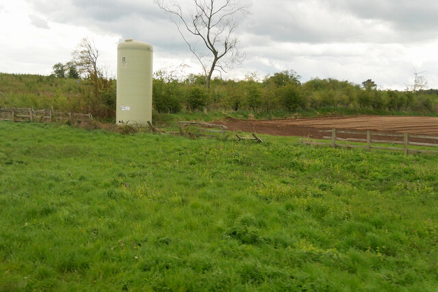
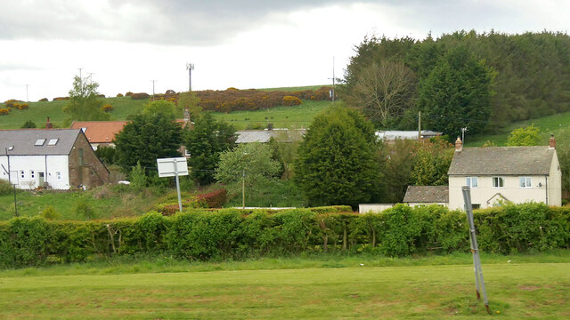
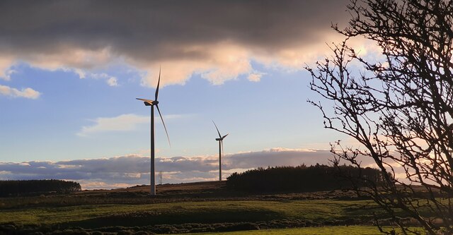
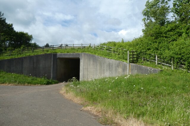
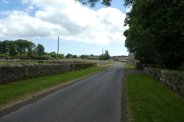
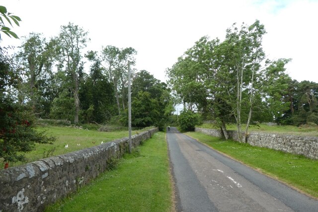
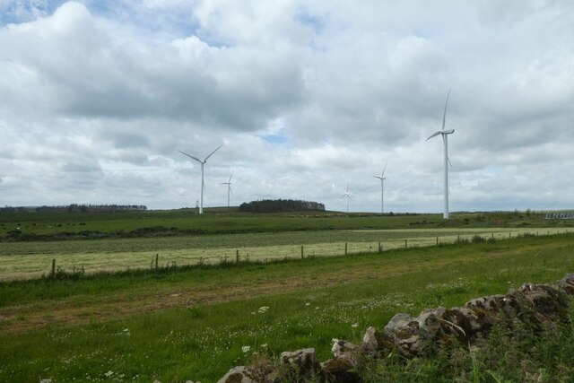
Hallflat Plantation is a sprawling woodland located in the county of Northumberland, England. Situated near the village of Wood, it covers an extensive area, making it a prominent feature of the local landscape. The plantation is characterized by its dense forest, which is primarily composed of a variety of tree species, including oak, beech, and birch.
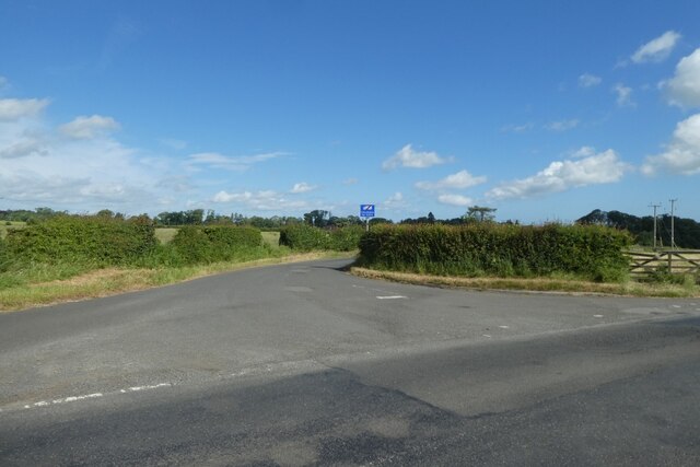
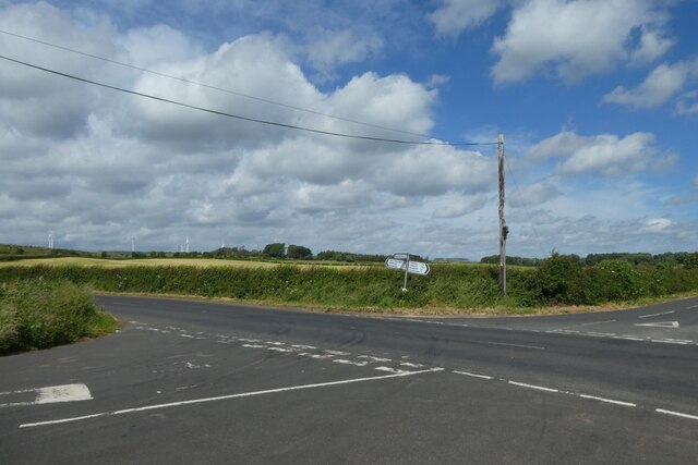
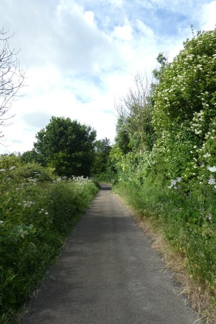
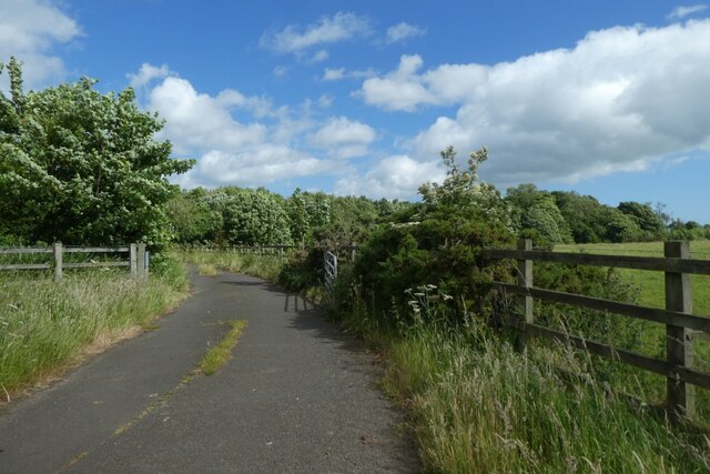
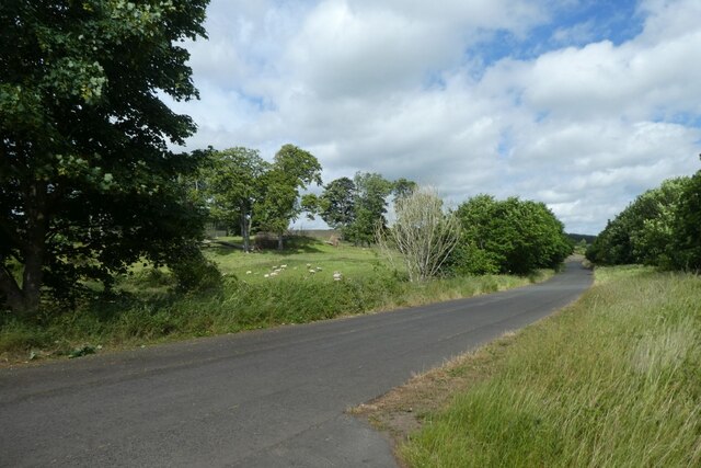
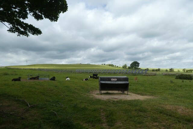
The woodland is known for its natural beauty and is a popular destination for nature enthusiasts and outdoor enthusiasts alike. Its diverse ecosystem provides a habitat for a wide range of wildlife, such as deer, foxes, and various bird species. The plantation also boasts a network of walking trails, allowing visitors to explore its scenic surroundings and experience the tranquility of nature.
Hallflat Plantation is managed by the local forestry commission, which ensures the preservation and sustainable use of the woodland. This includes regular maintenance of the trails, maintaining the health of the trees, and managing any potential risks, such as disease or fire hazards.
The woodland also holds historical significance, as it is believed to have been established several centuries ago. It has witnessed the passage of time and has adapted to various changes in land use and management practices.
Overall, Hallflat Plantation in Northumberland offers a unique opportunity to immerse oneself in the natural beauty of the region, providing a tranquil retreat for visitors and serving as an important habitat for local wildlife.
If you have any feedback on the listing, please let us know in the comments section below.
Hallflat Plantation Images
Images are sourced within 2km of 55.504573/-1.7382933 or Grid Reference NU1623. Thanks to Geograph Open Source API. All images are credited.

Hallflat Plantation is located at Grid Ref: NU1623 (Lat: 55.504573, Lng: -1.7382933)
Unitary Authority: Northumberland
Police Authority: Northumbria
What 3 Words
///hopeless.timidly.clumped. Near Ellingham, Northumberland
Related Wikis

Brownieside
Brownieside is a hamlet in Northumberland, in England. It is situated between Alnwick and Berwick-upon-Tweed, on the A1 a short distance to the north of...

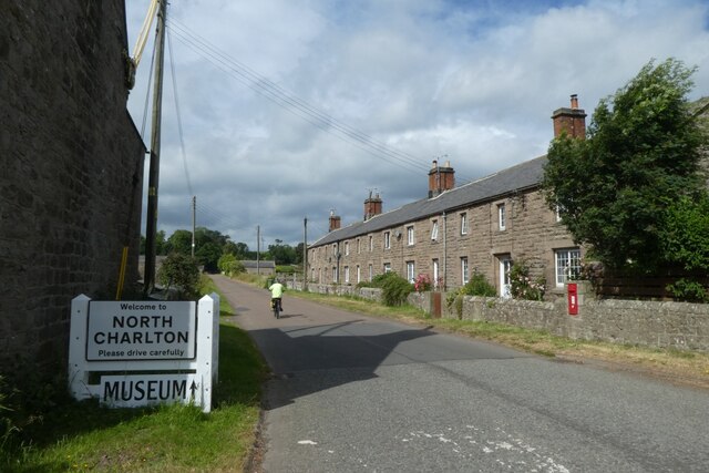
North Charlton
North Charlton is a hamlet and former civil parish, now in the parish of Eglingham, in Northumberland, England. It is situated between Alnwick and Berwick...
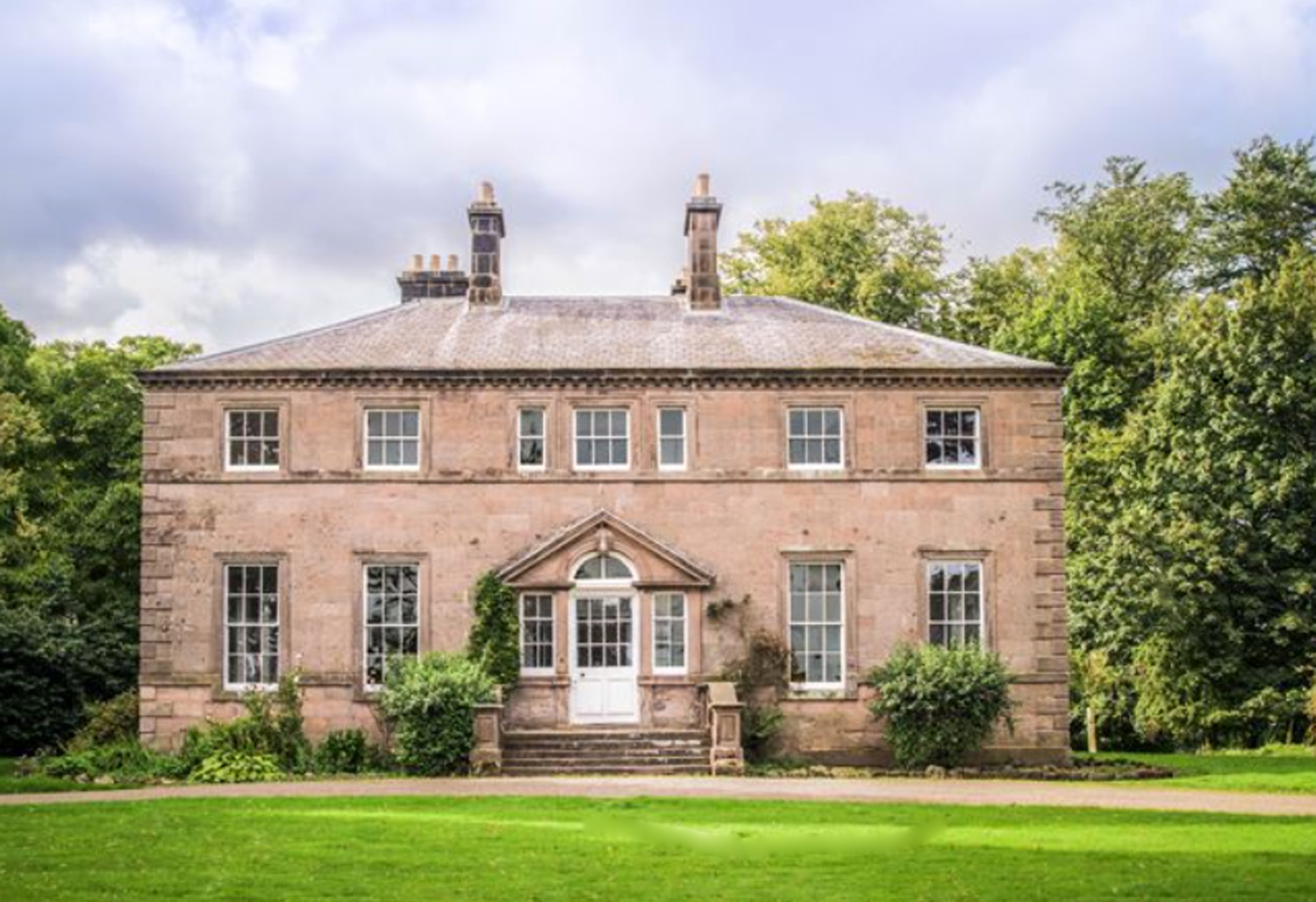
Charlton Hall, Northumberland
Charlton Hall near Ellingham, Northumberland is a building of historical significance and is listed Grade II* on the English Heritage Register. It was...

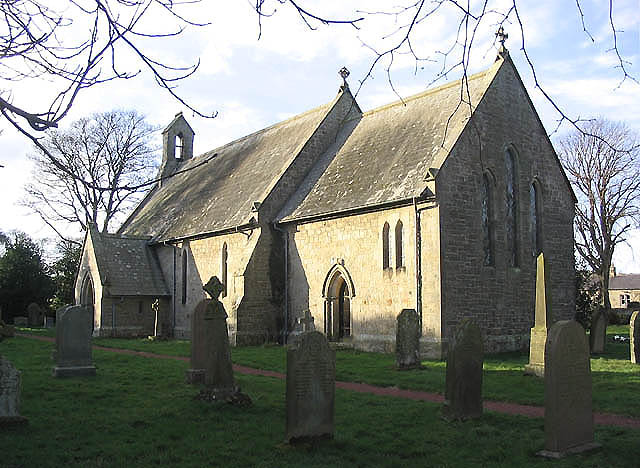
Ellingham, Northumberland
Ellingham is a civil parish in Northumberland, England. The population taken at the 2001 Census was 282, increasing slightly to 288 at the 2011 Census...

Preston Tower, Northumberland
Preston Tower is a fourteenth-century pele tower in Preston, Northumberland, England built in 1392. The tower is now a private museum. == References... ==
South Charlton
South Charlton is a small village and former civil parish, now in the parish of Eglingham, in the county of Northumberland, England, five miles (8 km)...

Chathill
Chathill is a hamlet and former civil parish, now in the parish of Ellingham, in Northumberland, England. It is about 9 miles (14 km) north of Alnwick...
Fallodon
Fallodon is a hamlet and former civil parish, now in the parish of Newton-by-the-Sea, in the county of Northumberland, England. It is the territorial designation...
Nearby Amenities
Located within 500m of 55.504573,-1.7382933Have you been to Hallflat Plantation?
Leave your review of Hallflat Plantation below (or comments, questions and feedback).