Great Wood
Wood, Forest in Derbyshire High Peak
England
Great Wood

Great Wood is a sprawling forest located in the county of Derbyshire, England. Covering an extensive area, it is a haven for nature enthusiasts and a popular destination for locals and tourists alike. The forest is part of the wider Peak District National Park, renowned for its outstanding natural beauty and diverse wildlife.
Great Wood is primarily composed of broadleaf trees, such as oak, beech, and birch, which create a dense canopy overhead. This lush habitat provides a home for a wide range of flora and fauna, including various species of deer, birds, and small mammals.
The forest is crisscrossed by a network of well-maintained trails, allowing visitors to explore its enchanting surroundings. These pathways offer panoramic views of the surrounding countryside, with rolling hills and picturesque valleys stretching as far as the eye can see.
In addition to its natural beauty, Great Wood holds historical significance. Within the forest, there are remnants of ancient settlements, dating back centuries, providing a glimpse into the region's rich past. Visitors can stumble upon earthworks, burial mounds, and other archaeological sites that tell the story of the people who once inhabited this land.
Great Wood offers a peaceful retreat for those seeking solitude in nature, as well as opportunities for outdoor activities such as hiking, birdwatching, and photography. With its breathtaking scenery and abundant wildlife, Great Wood is a true gem in the heart of Derbyshire.
If you have any feedback on the listing, please let us know in the comments section below.
Great Wood Images
Images are sourced within 2km of 53.387188/-1.7514432 or Grid Reference SK1687. Thanks to Geograph Open Source API. All images are credited.


Great Wood is located at Grid Ref: SK1687 (Lat: 53.387188, Lng: -1.7514432)
Administrative County: Derbyshire
District: High Peak
Police Authority: Derbyshire
What 3 Words
///yummy.hampers.surely. Near Hope Valley, Derbyshire
Nearby Locations
Related Wikis

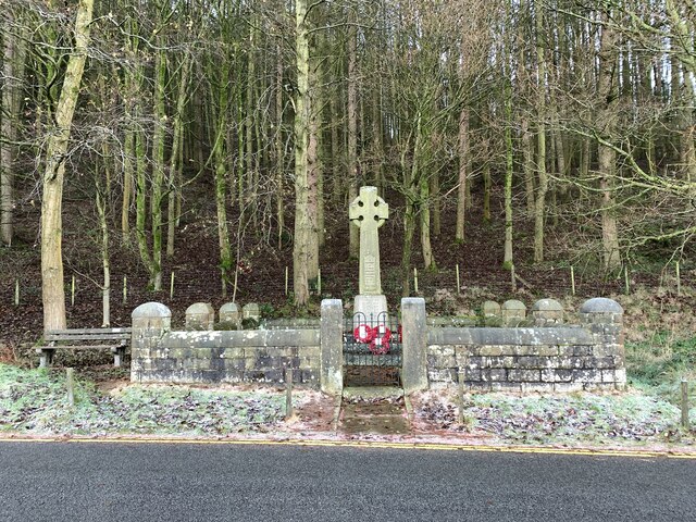
Derwent Woodlands War Memorial
Derwent Woodlands War Memorial is a 20th-century grade II listed war memorial near the Ladybower Reservoir, Derbyshire. == History == The war memorial...
Crook Hill
Crook Hill is a small hill in the Peak District National Park in the English county of Derbyshire, 5 kilometres (3.1 mi) northeast of Castleton. ��2�...

Derwent, Derbyshire
Derwent was a village 'drowned' in 1944 when the Ladybower Reservoir in Derbyshire, England was created. The village of Ashopton, Derwent Woodlands church...

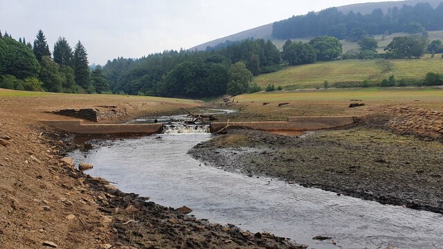
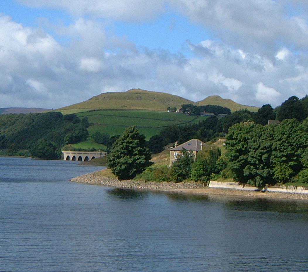
Ladybower Reservoir
Ladybower Reservoir is a large Y-shaped, artificial reservoir, the lowest of three in the Upper Derwent Valley in Derbyshire, England. The River Ashop...
Nearby Amenities
Located within 500m of 53.387188,-1.7514432Have you been to Great Wood?
Leave your review of Great Wood below (or comments, questions and feedback).