Brownieside Hill

Hill, Mountain in Northumberland

England

Brownieside Hill

Storage Tank in a Field near Ellingham Yara Chafer storage tank for liquid fertiliser.
Storage Tank in a Field near Ellingham Credit: David Dixon

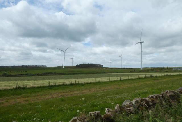
Brownieside Hill is a prominent hill located in the county of Northumberland, England. It is part of the Cheviot Hills range and stands at an elevation of approximately 446 meters (1,463 feet). This majestic hill is situated near the small village of Brownieside, which is in close proximity to Alnwick and Wooler.

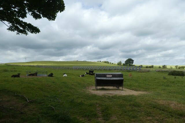
The hill offers stunning panoramic views of the surrounding Northumberland countryside, making it a popular destination for hikers, nature enthusiasts, and photographers. Its location within the Cheviot Hills also provides visitors with the opportunity to explore the diverse flora and fauna that thrive in this area of outstanding natural beauty.

Brownieside Hill is known for its gentle slopes and well-defined trails, making it accessible to both experienced hikers and beginners. The hill's summit offers breathtaking vistas of the rolling hills, expansive moorlands, and the distant North Sea. On clear days, it is even possible to catch a glimpse of the Scottish coastline.

The area around Brownieside Hill is rich in history, with evidence of ancient settlements and structures dating back thousands of years. The hill itself is believed to have been utilized as a lookout point during various historical periods, including the Roman occupation of Britain.

Overall, Brownieside Hill is a remarkable natural landmark that showcases the beauty of Northumberland. Its accessibility, panoramic views, and historical significance make it a must-visit destination for anyone seeking to immerse themselves in the stunning landscapes of this region.

If you have any feedback on the listing, please let us know in the comments section below.

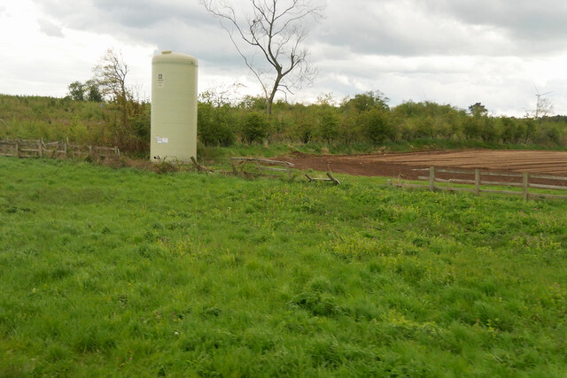
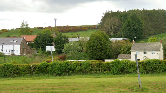
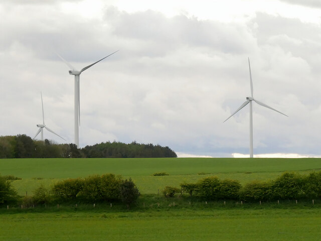
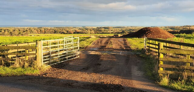
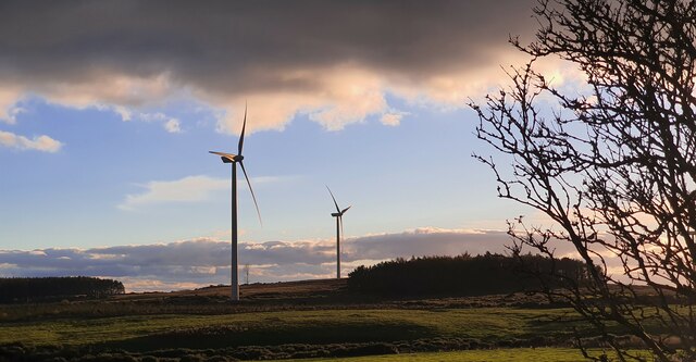
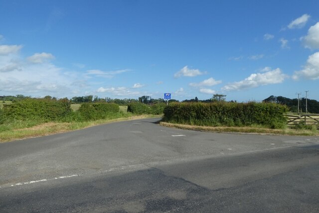
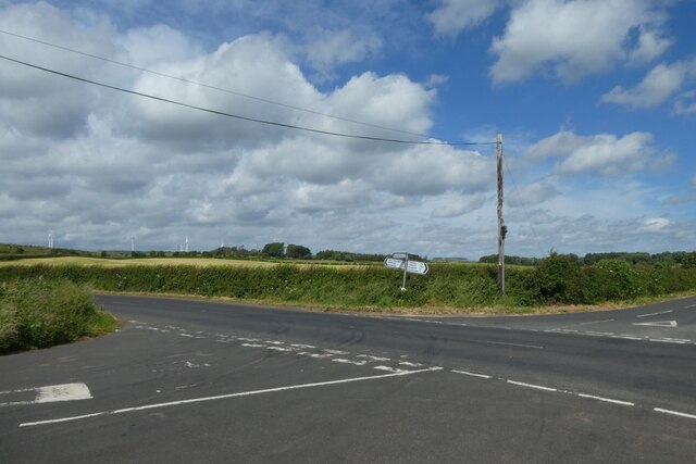
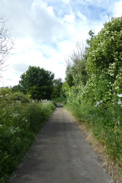
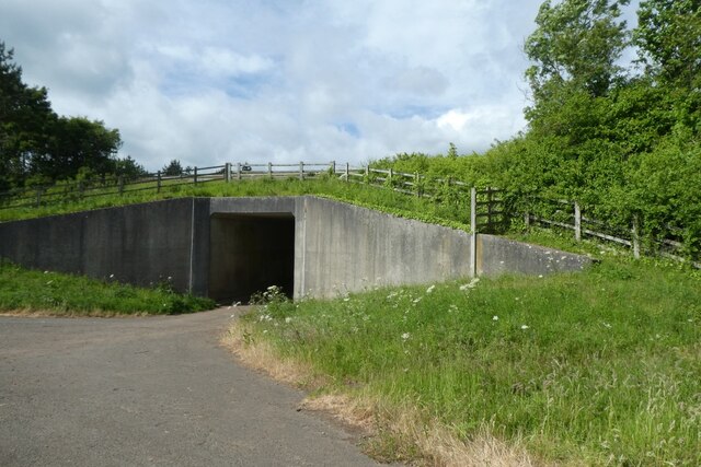
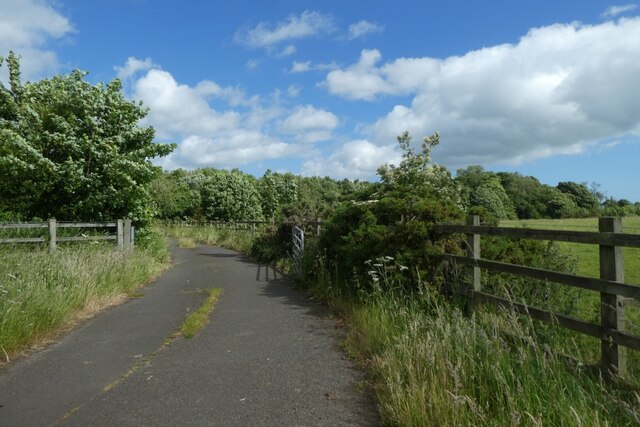
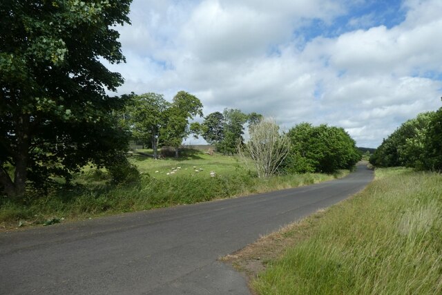
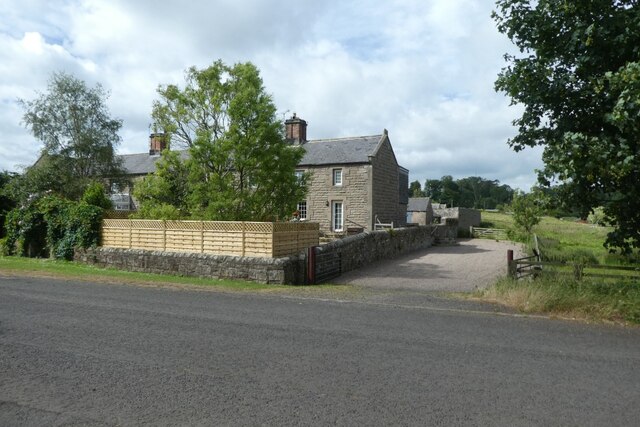
Brownieside Hill Images

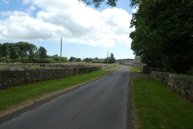
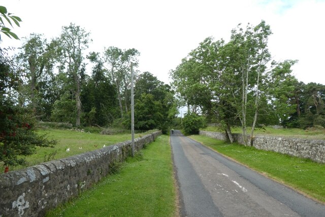
Images are sourced within 2km of 55.50734/-1.7466663 or Grid Reference NU1623. Thanks to Geograph Open Source API. All images are credited.

Storage Tank in a Field near Ellingham Yara Chafer storage tank for liquid fertiliser.
Storage Tank in a Field near Ellingham
Yara Chafer storage tank for liquid fertiliser.
Fields to the west of the A1 near  Brownieside
Fields to the west of the A1 near Brownieside
Houses at Brownieside Brownieside is a hamlet located on the A1 about 7 miles north of Alnwick.
Houses at Brownieside
Brownieside is a hamlet located on the A1 about 7 miles north of Alnwick.
Wind Turbines, North Charlton Moor
North Charlton, Northumberland Looking southeast over farmland to the southwest of North Charlton, the coast can be seen in the far distance.
North Charlton, Northumberland
Looking southeast over farmland to the southwest of North Charlton, the coast can be seen in the far distance.
Linkhall Moor, Northumberland From the vicinity of Moor Edge Plantation looking towards wind turbines on Linkhall Moor.
Linkhall Moor, Northumberland
From the vicinity of Moor Edge Plantation looking towards wind turbines on Linkhall Moor.
Road to Ellingham Looking along the road heading north to Ellingham from the road between Preston Tower and the A1.
Road to Ellingham
Looking along the road heading north to Ellingham from the road between Preston Tower and the A1.
Crossroads south of Ellingham Ahead is to the A1, right to Ellingham, far right to Preston Tower and left to Tynely.
Crossroads south of Ellingham
Ahead is to the A1, right to Ellingham, far right to Preston Tower and left to Tynely.
Bridleway near the A1 This path runs to meet the A1 near North Charlton where there is an underbridge.
Bridleway near the A1
This path runs to meet the A1 near North Charlton where there is an underbridge.
A1 underbridge Looking towards a tunnel which passes underneath the A1 to reach North Charlton.
A1 underbridge
Looking towards a tunnel which passes underneath the A1 to reach North Charlton.
Bridleway north towards Ellingham Looking along the path heading north from beside the A1 where there is an underpass.
Bridleway north towards Ellingham
Looking along the path heading north from beside the A1 where there is an underpass.
Charlton Bridge Looking along the road beside the A1 heading north from North Charlton.
Charlton Bridge
Looking along the road beside the A1 heading north from North Charlton.
Cottages in North Charlton Looking across the road from the track to the A1 underpass.
Cottages in North Charlton
Looking across the road from the track to the A1 underpass.
North Charlton Looking along the road leading towards Chillingham.
North Charlton
Looking along the road leading towards Chillingham.
Road through North Charlton Looking through the village which is situated beside the A1.
Road through North Charlton
Looking through the village which is situated beside the A1.
Road west from North Charlton Leading towards Chillingham.
Road west from North Charlton
Leading towards Chillingham.
Cattle near North Charlton Looking across farmland to the west of the village.
Cattle near North Charlton
Looking across farmland to the west of the village.
Wind turbines on Linkhall Moor Looking towards some of the wind turbines west of North Charlton.
Wind turbines on Linkhall Moor
Looking towards some of the wind turbines west of North Charlton.
Show me another place!

Brownieside Hill is located at Grid Ref: NU1623 (Lat: 55.50734, Lng: -1.7466663)

Unitary Authority: Northumberland

Police Authority: Northumbria

What 3 Words

///sailing.encodes.piled. Near Ellingham, Northumberland

Related Wikis

Brownieside

Brownieside is a hamlet in Northumberland, in England. It is situated between Alnwick and Berwick-upon-Tweed, on the A1 a short distance to the north of...
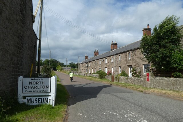
North Charlton

North Charlton is a hamlet and former civil parish, now in the parish of Eglingham, in Northumberland, England. It is situated between Alnwick and Berwick...

Ellingham, Northumberland

Ellingham is a civil parish in Northumberland, England. The population taken at the 2001 Census was 282, increasing slightly to 288 at the 2011 Census...

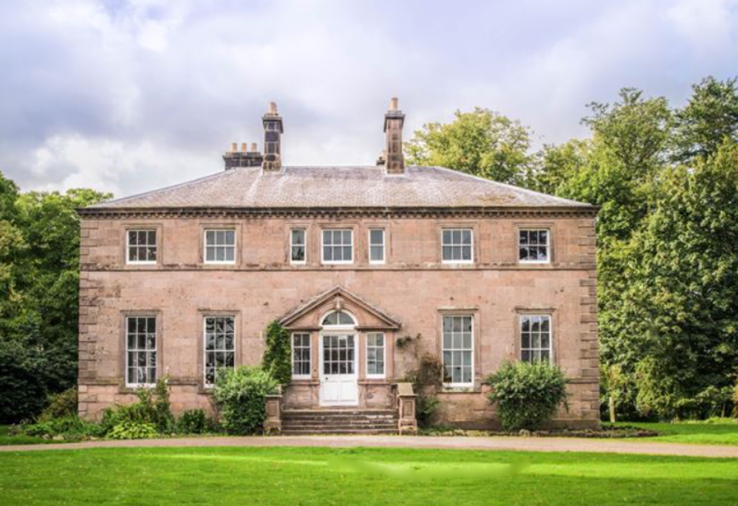
Charlton Hall, Northumberland

Charlton Hall near Ellingham, Northumberland is a building of historical significance and is listed Grade II* on the English Heritage Register. It was...

Preston Tower, Northumberland

Preston Tower is a fourteenth-century pele tower in Preston, Northumberland, England built in 1392. The tower is now a private museum. == References... ==

Chathill

Chathill is a hamlet and former civil parish, now in the parish of Ellingham, in Northumberland, England. It is about 9 miles (14 km) north of Alnwick...

South Charlton

South Charlton is a small village and former civil parish, now in the parish of Eglingham, in the county of Northumberland, England, five miles (8 km)...

Chathill railway station

Chathill is a railway station on the East Coast Main Line, which runs between London King's Cross and Edinburgh Waverley. The station, situated 46 miles...

Nearby Amenities

Located within 500m of 55.50734,-1.7466663
Power: pole
Lat/Long: 55.5080523/-1.7515919
Power: pole
Lat/Long: 55.5097858/-1.7512457
Power: pole
Lat/Long: 55.5054661/-1.7521657
Power: pole
Lat/Long: 55.5089001/-1.7514138
Power: pole
Lat/Long: 55.5043202/-1.7523979
Power: pole
Lat/Long: 55.5063326/-1.7519777
Power: pole
Lat/Long: 55.5106204/-1.7510534
Power: pole
Lat/Long: 55.5071948/-1.7517834
Tynely Moor
Place: locality
Lat/Long: 55.5060019/-1.746601
Power: pole
Lat/Long: 55.5040385/-1.7443096
Power: pole
Lat/Long: 55.5042355/-1.745931
Power: pole
Lat/Long: 55.5043726/-1.7430929
Power: pole
Lat/Long: 55.5044537/-1.7478354
Man Made: tower
Tower Type: communication
Lat/Long: 55.5044673/-1.7444329
Power: pole
Lat/Long: 55.5048606/-1.7515677
Power: pole
Lat/Long: 55.5049103/-1.7411362
Power: pole
Lat/Long: 55.5050058/-1.7422246
Man Made: tower
Tower Type: communication
Lat/Long: 55.5050346/-1.7445494
Power: pole
Lat/Long: 55.5046524/-1.7496777
Bus Stop
Bus: yes
Public Transport: platform
Lat/Long: 55.5080508/-1.7390173
The data included in this document is from www.openstreetmap.org. The data is made available under ODbL.

Have you been to Brownieside Hill?

Leave your review of Brownieside Hill below (or comments, questions and feedback).