Castleclose Plantation

Wood, Forest in Northumberland

England

Castleclose Plantation

Fields to the west of the A1 near  Brownieside
Fields to the west of the A1 near Brownieside Credit: David Dixon

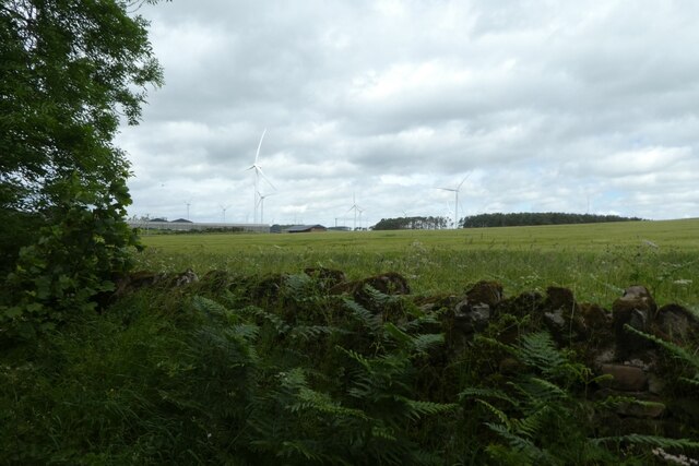
Castleclose Plantation is a picturesque woodland located in the county of Northumberland, England. Covering an area of approximately 500 acres, it is a haven for nature enthusiasts, hikers, and wildlife enthusiasts alike. The plantation is situated near the small village of Castleclose, nestled within the stunning Northumberland countryside.

With its ancient trees and diverse range of flora and fauna, Castleclose Plantation offers visitors a unique and immersive experience in the heart of nature. The woodland is characterized by a mix of deciduous and coniferous trees, creating a rich tapestry of colors throughout the seasons. Towering oaks, majestic beeches, and towering pines dominate the landscape, providing a habitat for a wide variety of wildlife.

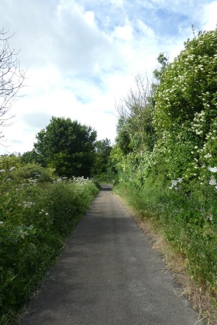
The plantation boasts several well-maintained walking trails, allowing visitors to explore the woodland's beauty at their leisure. These trails wind through the forest, leading to tranquil clearings, babbling brooks, and hidden ponds. Birdwatchers will be delighted by the plantation's avian inhabitants, including woodpeckers, owls, and various songbirds.

Castleclose Plantation also holds historical significance, with traces of an ancient castle that once stood on its grounds. The castle's ruins add a touch of intrigue and a glimpse into the area's past, allowing visitors to imagine the stories and events that unfolded within its walls.

Overall, Castleclose Plantation is a captivating woodland that offers visitors a chance to immerse themselves in the beauty of nature, explore its diverse wildlife, and connect with the rich history of Northumberland.

If you have any feedback on the listing, please let us know in the comments section below.

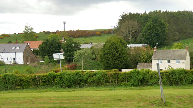
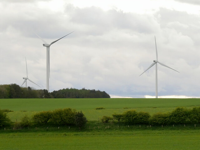
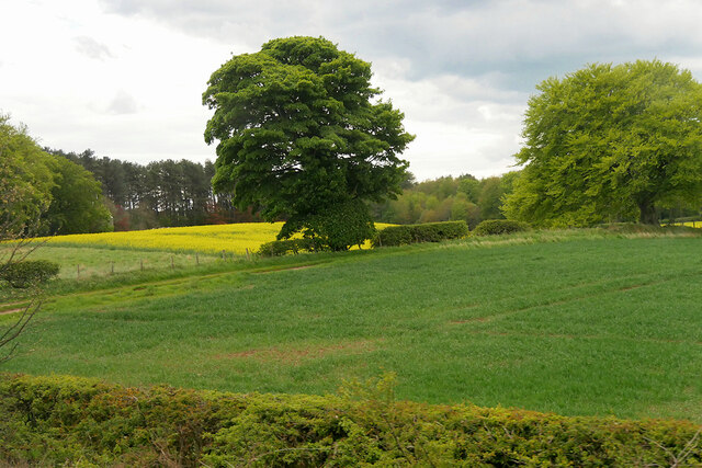
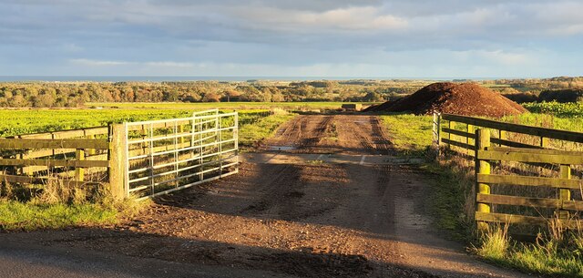
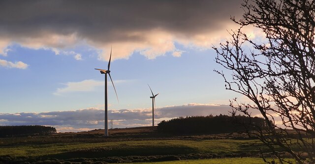
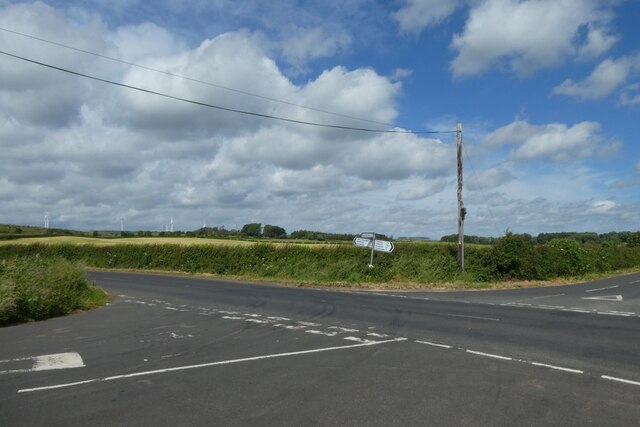
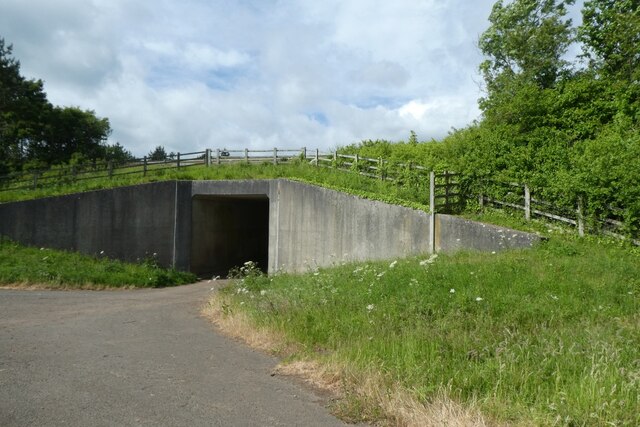
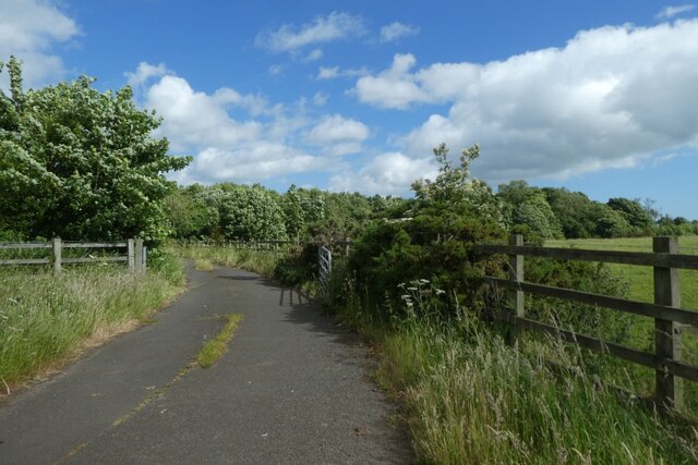
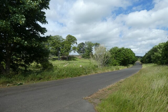
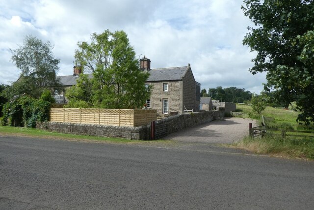
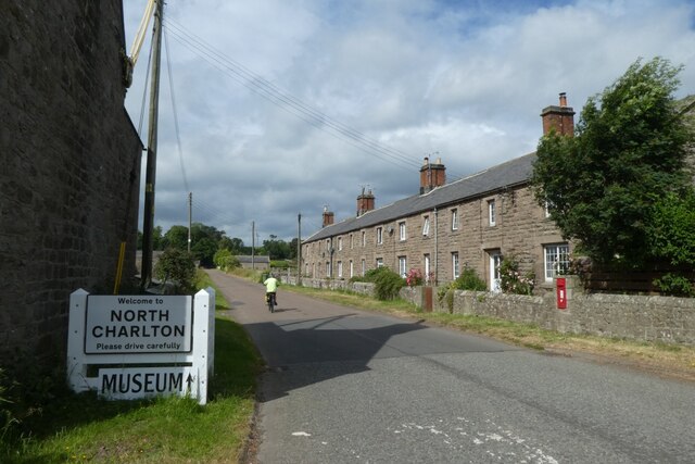
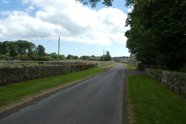
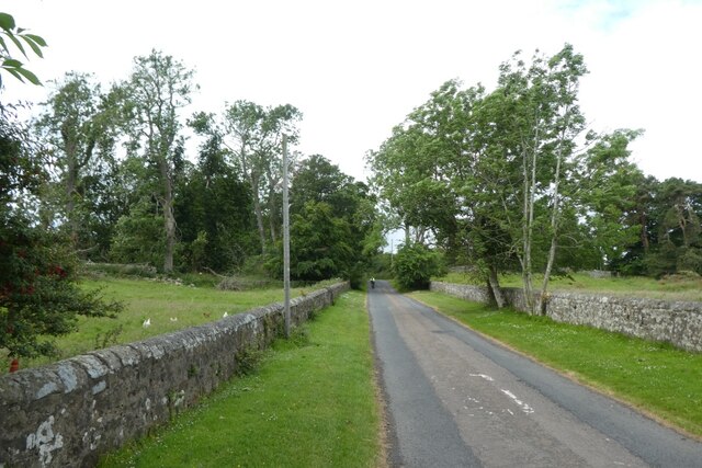
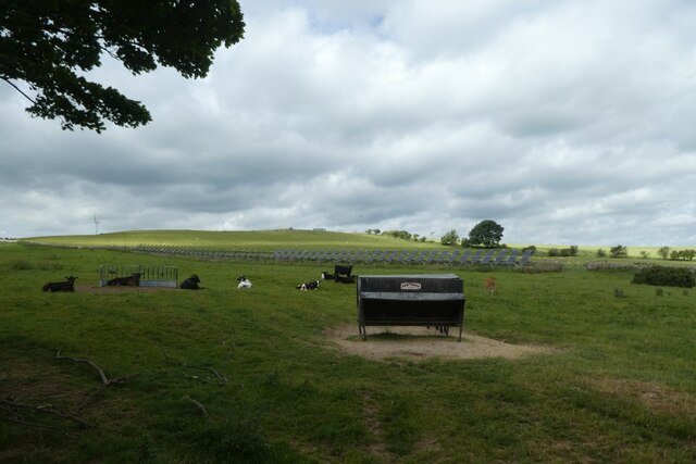
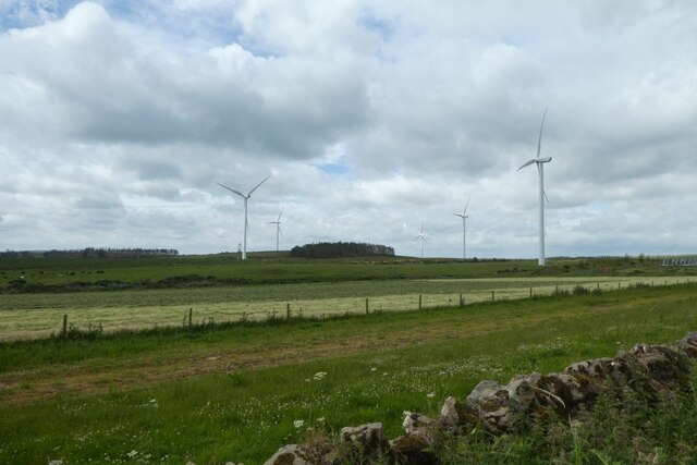
Castleclose Plantation Images

Images are sourced within 2km of 55.501307/-1.7362253 or Grid Reference NU1623. Thanks to Geograph Open Source API. All images are credited.

Fields to the west of the A1 near  Brownieside
Fields to the west of the A1 near Brownieside
Houses at Brownieside Brownieside is a hamlet located on the A1 about 7 miles north of Alnwick.
Houses at Brownieside
Brownieside is a hamlet located on the A1 about 7 miles north of Alnwick.
Wind Turbines, North Charlton Moor
Fields between South Charlton and North Charlton
North Charlton, Northumberland Looking southeast over farmland to the southwest of North Charlton, the coast can be seen in the far distance.
North Charlton, Northumberland
Looking southeast over farmland to the southwest of North Charlton, the coast can be seen in the far distance.
Linkhall Moor, Northumberland From the vicinity of Moor Edge Plantation looking towards wind turbines on Linkhall Moor.
Linkhall Moor, Northumberland
From the vicinity of Moor Edge Plantation looking towards wind turbines on Linkhall Moor.
Crossroads south of Ellingham Ahead is to the A1, right to Ellingham, far right to Preston Tower and left to Tynely.
Crossroads south of Ellingham
Ahead is to the A1, right to Ellingham, far right to Preston Tower and left to Tynely.
Bridleway near the A1 This path runs to meet the A1 near North Charlton where there is an underbridge.
Bridleway near the A1
This path runs to meet the A1 near North Charlton where there is an underbridge.
A1 underbridge Looking towards a tunnel which passes underneath the A1 to reach North Charlton.
A1 underbridge
Looking towards a tunnel which passes underneath the A1 to reach North Charlton.
Bridleway north towards Ellingham Looking along the path heading north from beside the A1 where there is an underpass.
Bridleway north towards Ellingham
Looking along the path heading north from beside the A1 where there is an underpass.
Charlton Bridge Looking along the road beside the A1 heading north from North Charlton.
Charlton Bridge
Looking along the road beside the A1 heading north from North Charlton.
Cottages in North Charlton Looking across the road from the track to the A1 underpass.
Cottages in North Charlton
Looking across the road from the track to the A1 underpass.
North Charlton Looking along the road leading towards Chillingham.
North Charlton
Looking along the road leading towards Chillingham.
Road through North Charlton Looking through the village which is situated beside the A1.
Road through North Charlton
Looking through the village which is situated beside the A1.
Road west from North Charlton Leading towards Chillingham.
Road west from North Charlton
Leading towards Chillingham.
Cattle near North Charlton Looking across farmland to the west of the village.
Cattle near North Charlton
Looking across farmland to the west of the village.
Wind turbines on Linkhall Moor Looking towards some of the wind turbines west of North Charlton.
Wind turbines on Linkhall Moor
Looking towards some of the wind turbines west of North Charlton.
Fields beside Moor Edge Plantation Looking towards Middlemoor.
Fields beside Moor Edge Plantation
Looking towards Middlemoor.
Show me another place!

Castleclose Plantation is located at Grid Ref: NU1623 (Lat: 55.501307, Lng: -1.7362253)

Unitary Authority: Northumberland

Police Authority: Northumbria

What 3 Words

///vegans.producing.headers. Near Ellingham, Northumberland

Related Wikis

North Charlton

North Charlton is a hamlet and former civil parish, now in the parish of Eglingham, in Northumberland, England. It is situated between Alnwick and Berwick...

Brownieside

Brownieside is a hamlet in Northumberland, in England. It is situated between Alnwick and Berwick-upon-Tweed, on the A1 a short distance to the north of...

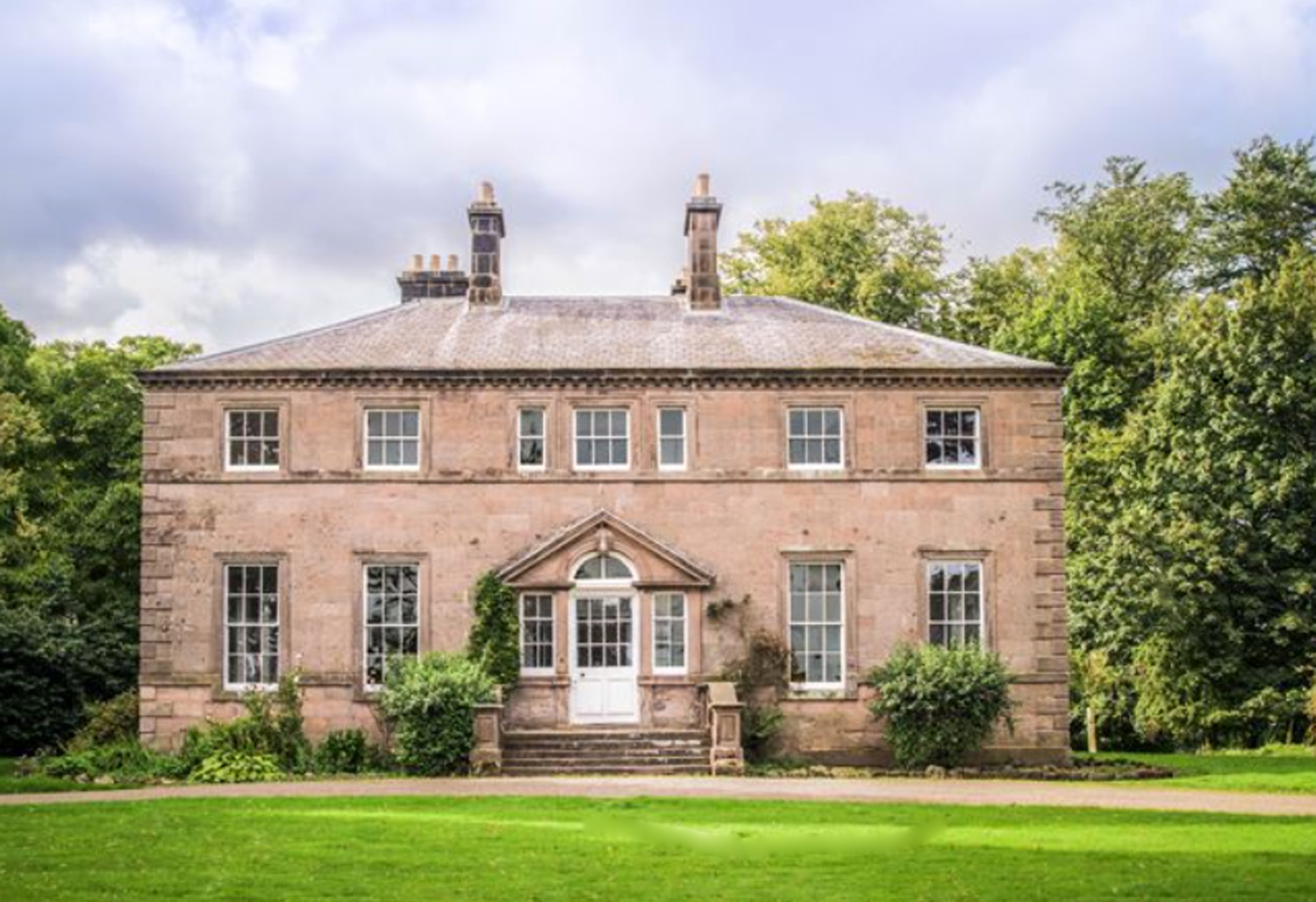
Charlton Hall, Northumberland

Charlton Hall near Ellingham, Northumberland is a building of historical significance and is listed Grade II* on the English Heritage Register. It was...

Ellingham, Northumberland

Ellingham is a civil parish in Northumberland, England. The population taken at the 2001 Census was 282, increasing slightly to 288 at the 2011 Census...

Preston Tower, Northumberland

Preston Tower is a fourteenth-century pele tower in Preston, Northumberland, England built in 1392. The tower is now a private museum. == References... ==

South Charlton

South Charlton is a small village and former civil parish, now in the parish of Eglingham, in the county of Northumberland, England, five miles (8 km)...

Fallodon

Fallodon is a hamlet and former civil parish, now in the parish of Newton-by-the-Sea, in the county of Northumberland, England. It is the territorial designation...

Chathill

Chathill is a hamlet and former civil parish, now in the parish of Ellingham, in Northumberland, England. It is about 9 miles (14 km) north of Alnwick...

Nearby Amenities

Located within 500m of 55.501307,-1.7362253
North Charlton
Place: hamlet
Wikidata: Q7054794
Lat/Long: 55.4998327/-1.7366947
Power: pole
Lat/Long: 55.498771/-1.7298506
Power: pole
Lat/Long: 55.4992806/-1.7309625
Power: pole
Lat/Long: 55.499481/-1.7323209
Comby Hills
Place: locality
Lat/Long: 55.5001465/-1.7301268
Power: pole
Lat/Long: 55.5048155/-1.7391578
Power: pole
Lat/Long: 55.504853/-1.7398921
Give Way
Direction: forward
Lat/Long: 55.5005368/-1.7334302
Bus: yes
Public Transport: stop_position
Lat/Long: 55.5012044/-1.7336121
Bus: yes
Public Transport: stop_position
Lat/Long: 55.5019619/-1.7338892
Post Box
Post Box Mounting: stone_pillar
Post Box Type: wall
Ref: NE67 52
Royal Cypher: GR
Royal Cypher Wikidata: Q33102273
Lat/Long: 55.5005183/-1.7340683
Give Way
Direction: forward
Lat/Long: 55.5006057/-1.7330277
Bus Stop
Bus: yes
Naptan AtcoCode: 3100U169231
Naptan NaptanCode: nldgamap
Public Transport: platform
Shelter: yes
Lat/Long: 55.5020146/-1.7337227
Bus Stop
Bus: yes
Naptan AtcoCode: 3100U169230
Naptan NaptanCode: nldajtdp
Public Transport: platform
Lat/Long: 55.501312/-1.7338508
Give Way
Direction: backward
Lat/Long: 55.500634/-1.7333161
The data included in this document is from www.openstreetmap.org. The data is made available under ODbL.

Have you been to Castleclose Plantation?

Leave your review of Castleclose Plantation below (or comments, questions and feedback).