Oats Plantation
Wood, Forest in Staffordshire East Staffordshire
England
Oats Plantation

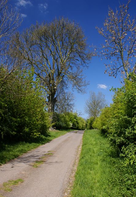
Oats Plantation, located in Staffordshire, is a sprawling woodland area known for its rich biodiversity and scenic beauty. Covering a vast expanse of land, the plantation is predominantly composed of dense oak forests, hence its name. This natural haven is a popular destination for nature enthusiasts and outdoor adventurers alike.
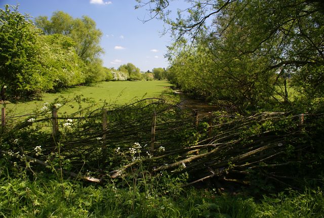
The woodland is home to a diverse range of flora and fauna, providing a habitat for various species of plants, birds, mammals, and insects. Strolling through the plantation, one can witness the majestic oak trees towering above, their branches creating a lush canopy that filters sunlight and creates a serene atmosphere. The forest floor is adorned with a carpet of vibrant wildflowers and ferns, adding to the enchanting ambience.
Oats Plantation offers numerous trails and pathways, allowing visitors to explore the woodland at their own pace. Whether it is a gentle stroll or an adventurous hike, there is something for everyone. Along the paths, one may encounter charming streams, hidden ponds, and picturesque clearings where wildlife thrives.
The plantation also boasts a range of recreational activities, including camping, picnicking, and birdwatching. With its tranquil surroundings, it is the perfect spot to unwind and connect with nature. Additionally, the plantation hosts educational programs and guided tours, providing visitors with insights into the local ecosystem and conservation efforts.
Oats Plantation in Staffordshire is a captivating destination that offers a sanctuary for both wildlife and humans alike. Its breathtaking beauty and diverse ecosystem make it a must-visit location for those seeking solace in nature.
If you have any feedback on the listing, please let us know in the comments section below.
Oats Plantation Images
Images are sourced within 2km of 52.766397/-1.7529587 or Grid Reference SK1618. Thanks to Geograph Open Source API. All images are credited.


Oats Plantation is located at Grid Ref: SK1618 (Lat: 52.766397, Lng: -1.7529587)
Administrative County: Staffordshire
District: East Staffordshire
Police Authority: Staffordshire
What 3 Words
///pythons.norms.secures. Near Barton under Needwood, Staffordshire
Nearby Locations
Related Wikis

Barton Gate
Barton Gate is a village in Staffordshire, England.For population details at the 2011 census see Barton-under-Needwood.
Barton-under-Needwood
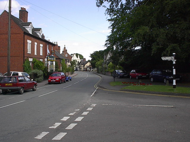
Barton-under-Needwood is a large village in the East Staffordshire district of Staffordshire, England. Situated a mile from the A38, and located between...

Wychnor Hall
Wychnor Hall (or Wychnor Park, ) is Grade II Listed early 18th-century country house near Burton on Trent, Staffordshire, formerly owned by the Levett...
John Taylor High School
John Taylor High School is a specialist science and leadership academy located in the East Staffordshire village of Barton-under-Needwood, near Burton...
Barton Green
Barton Green is a village in Staffordshire, England. For population details taken at the 2011 census see Barton-under-Needwood
Brankley Pastures
Brankley Pastures is a nature reserve of the Staffordshire Wildlife Trust. It is about 2.5 miles (4.0 km) miles north-west of Barton-under-Needwood, in...
Dunstall
Dunstall is a small village and civil parish in the borough of East Staffordshire, Staffordshire, England. It lies between Burton upon Trent and Barton...

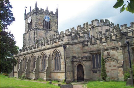
Church of St Peter, Yoxall
The Church of St Peter is a Grade II* listed building in Yoxall, East Staffordshire, Staffordshire, England, built in the early 13th century. == References ==
Nearby Amenities
Located within 500m of 52.766397,-1.7529587Have you been to Oats Plantation?
Leave your review of Oats Plantation below (or comments, questions and feedback).