Whitaker Pits Wood
Wood, Forest in Yorkshire
England
Whitaker Pits Wood
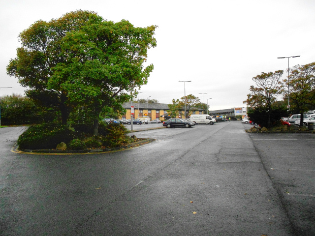
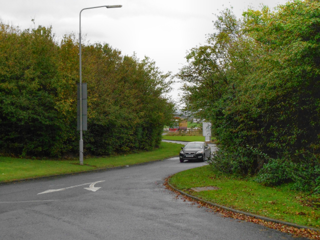
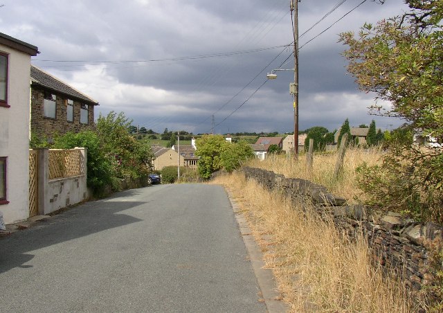
Whitaker Pits Wood is a picturesque woodland located in the county of Yorkshire, England. The wood covers an area of approximately 100 acres and is known for its diverse range of flora and fauna. The woodland is home to a variety of tree species, including oak, beech, and birch, as well as a number of wildflowers and ferns.
Whitaker Pits Wood is a popular destination for nature lovers and outdoor enthusiasts, offering a range of walking and hiking trails that meander through the woodland. Visitors can enjoy the peaceful surroundings and spot a variety of wildlife, such as deer, squirrels, and birds.
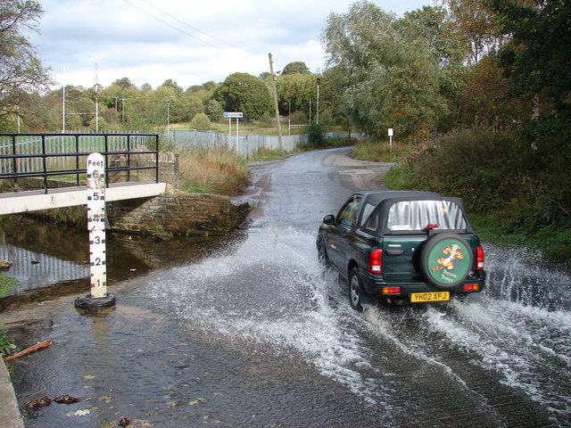
The wood is also known for its historical significance, with remnants of old mining pits scattered throughout the area. These pits were once used for the extraction of coal and other minerals, and provide a glimpse into the industrial past of the region.
Overall, Whitaker Pits Wood is a tranquil and beautiful woodland that offers visitors the chance to escape the hustle and bustle of everyday life and immerse themselves in nature.
If you have any feedback on the listing, please let us know in the comments section below.
Whitaker Pits Wood Images
Images are sourced within 2km of 53.718087/-1.7563781 or Grid Reference SE1624. Thanks to Geograph Open Source API. All images are credited.


Whitaker Pits Wood is located at Grid Ref: SE1624 (Lat: 53.718087, Lng: -1.7563781)
Division: West Riding
Unitary Authority: Calderdale
Police Authority: West Yorkshire
What 3 Words
///locals.drove.shot. Near Brighouse, West Yorkshire
Nearby Locations
Related Wikis
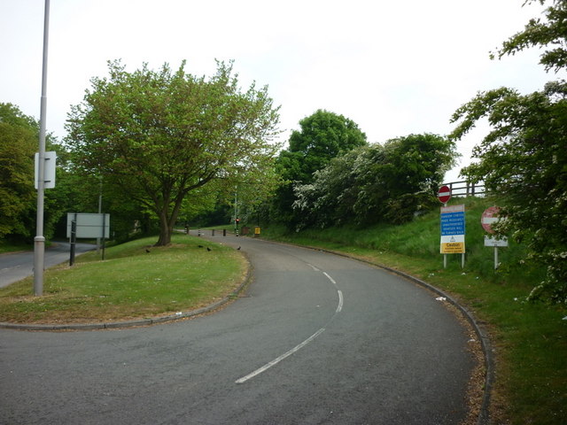
Hartshead Moor Top
Hartshead Moor Top is a hamlet in the county of West Yorkshire, England, halfway between Brighouse and Cleckheaton on the A643. It is close to the Hartshead...

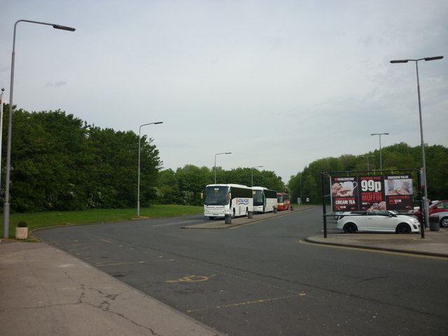
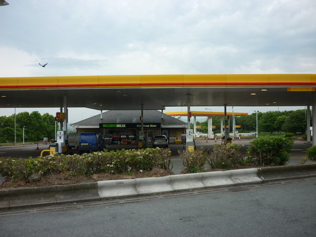
Hartshead Moor services
Hartshead Moor services is a motorway service station on the M62 near Brighouse, West Yorkshire. It is the highest service station in the United Kingdom...
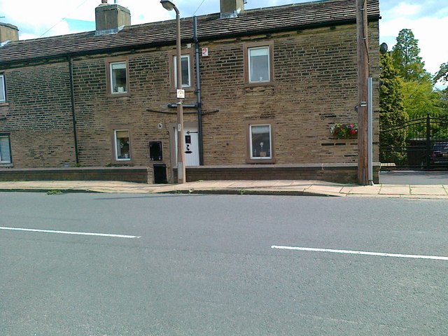
Bailiff Bridge railway station
Bailiff Bridge railway station was built by the Lancashire and Yorkshire Railway to serve the village of Bailiff Bridge north of Brighouse in West Yorkshire...
Thornhills
Thornhills is a hamlet in the Kirklees District, in the county of West Yorkshire. It is near the town of Brighouse.
Related Videos

Travel to Cleckheaton
Cleckheaton is a town located in West Yorkshire, England, United Kingdom. Situated in the metropolitan borough of Kirklees, ...

Welcome to hell...the good old British summer holiday
Please support my Patreon music campaign... https://www.patreon.com/tonylongworth Subscribe to my official YouTube channel...

Hartshead Moor | Traipsin' Abaht | Been wastin' most our lives livin' in a hikers paradise
The maiden episode of Traipsin' Abaht takes us to the lovely scenic moor of Hartshead overlooking Huddersfield. Music: Oliver ...

Walking the Way 1st May 2020 God are you there
Today is the 1st of May 2020. Welcome to Walking the Way. My name is Ray and I really want to say thank you to everyone for ...
Nearby Amenities
Located within 500m of 53.718087,-1.7563781Have you been to Whitaker Pits Wood?
Leave your review of Whitaker Pits Wood below (or comments, questions and feedback).