Dovedale Plantation
Wood, Forest in Gloucestershire Cotswold
England
Dovedale Plantation
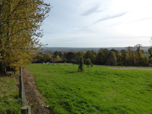
Dovedale Plantation is a picturesque woodland located in Gloucestershire, England. As part of the larger Forest of Dean, it covers an area of approximately 500 acres and is renowned for its natural beauty and diverse wildlife.
The woodland is primarily composed of native broadleaf trees such as oak, beech, and ash, which create a dense canopy, providing a tranquil and shady environment for visitors. The forest floor is adorned with a rich carpet of wildflowers, including bluebells, primroses, and wood anemones, adding to its charm.
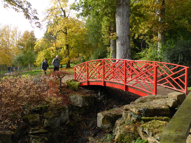
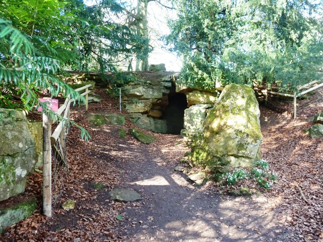
Dovedale Plantation offers a variety of walking trails that cater to different levels of fitness and interests. These well-maintained paths wind through the forest, leading visitors to stunning viewpoints, babbling streams, and hidden waterfalls. The trails are clearly signposted, making navigation easy for both regular hikers and first-time visitors.
The woodland is home to a diverse range of wildlife, including deer, badgers, foxes, and a variety of bird species. Nature enthusiasts can enjoy birdwatching, as well as the opportunity to spot rare species such as the lesser horseshoe bat, which roosts in the ancient trees of the plantation.
Visitors to Dovedale Plantation can also participate in educational activities, such as guided tours and nature walks, to learn more about the forest's ecology and history. Additionally, the woodland has designated picnic areas and facilities, making it an ideal spot for a family day out or a peaceful retreat in nature.
Overall, Dovedale Plantation in Gloucestershire offers a serene and enchanting woodland experience, with its ancient trees, tranquil trails, and abundant wildlife, making it a must-visit destination for nature lovers and outdoor enthusiasts alike.
If you have any feedback on the listing, please let us know in the comments section below.
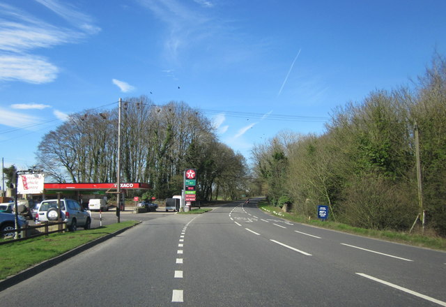
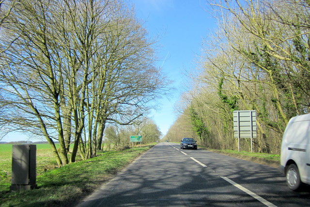
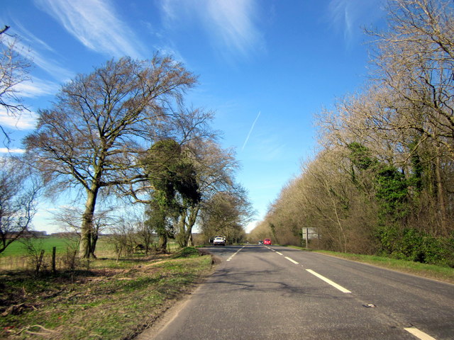
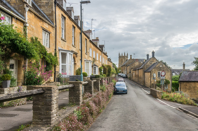
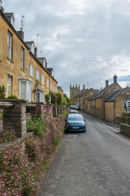
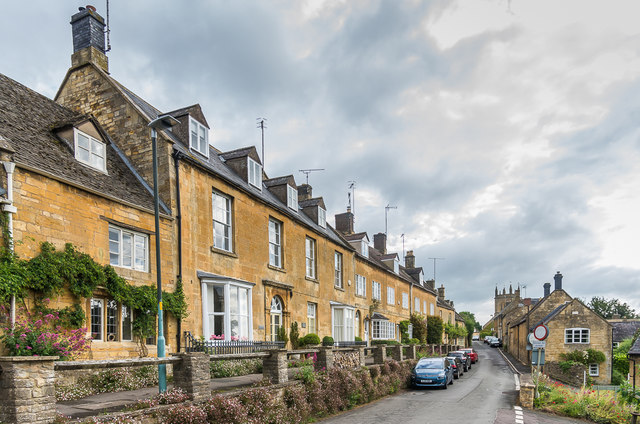
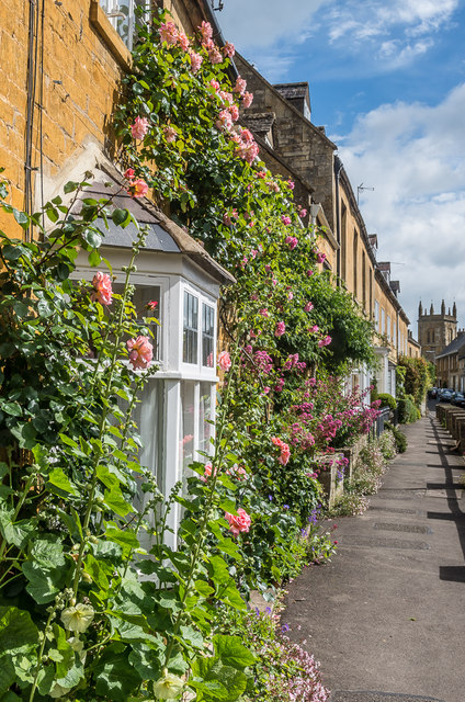
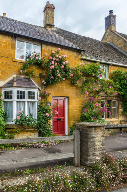
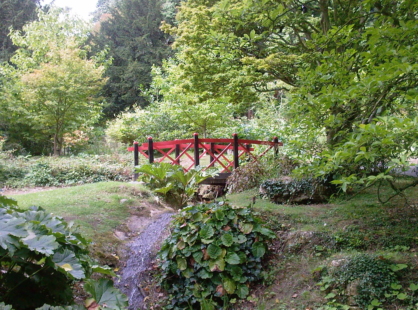
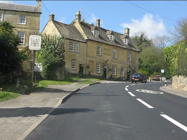
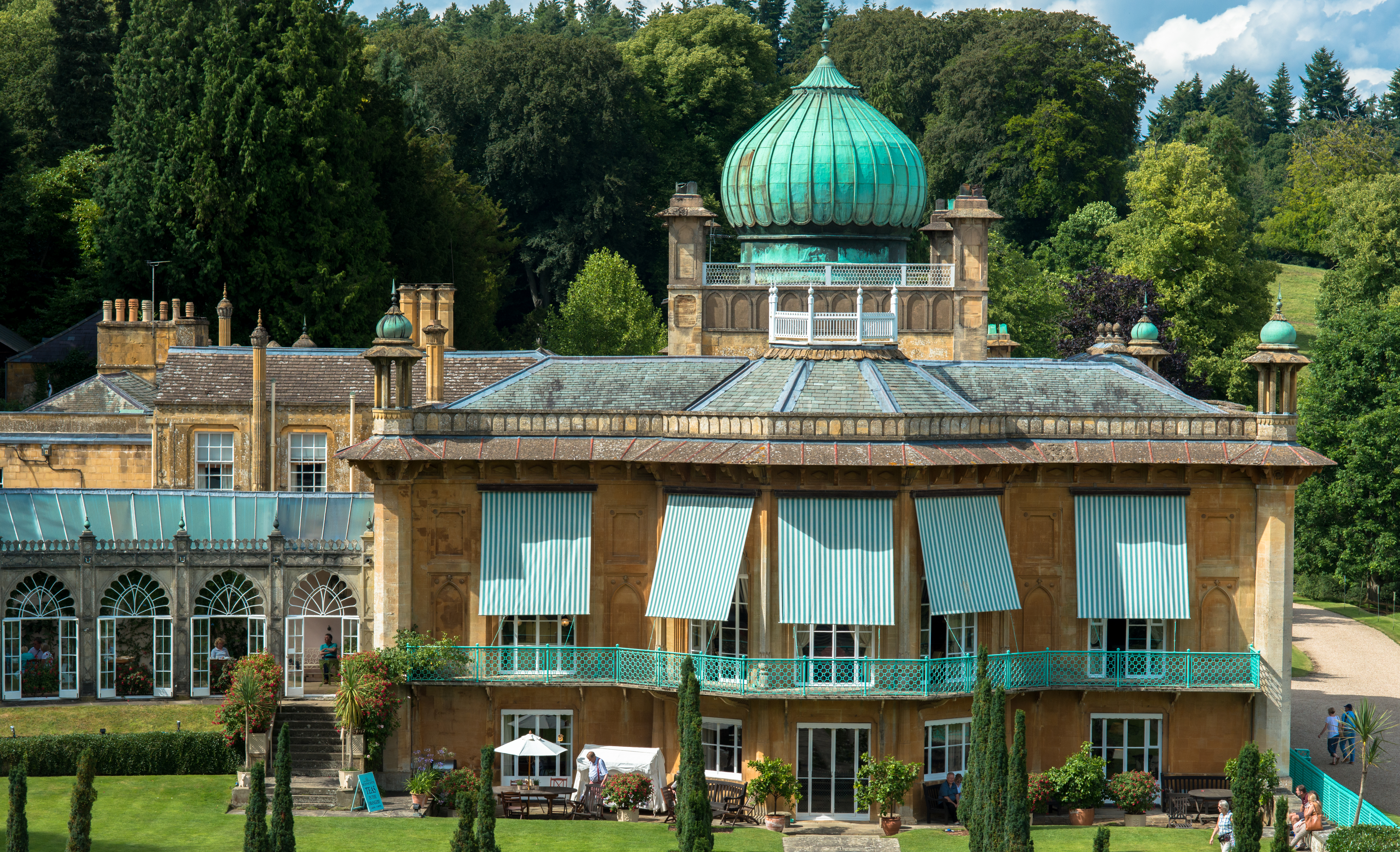
Dovedale Plantation Images
Images are sourced within 2km of 52.001876/-1.7658084 or Grid Reference SP1633. Thanks to Geograph Open Source API. All images are credited.

Dovedale Plantation is located at Grid Ref: SP1633 (Lat: 52.001876, Lng: -1.7658084)
Administrative County: Gloucestershire
District: Cotswold
Police Authority: Gloucestershire
What 3 Words
///secures.optimists.purple. Near Blockley, Gloucestershire
Nearby Locations
Related Wikis

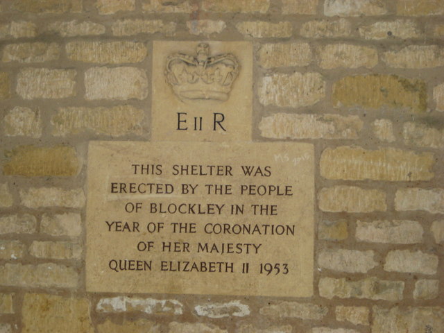
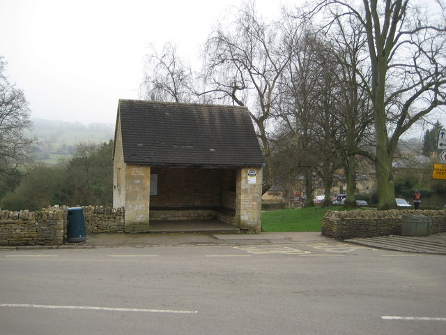
Blockley
Blockley is a village, civil parish and ecclesiastical parish in the Cotswold district of Gloucestershire, England, about 3 miles (5 km) northwest of Moreton...

Church of St Lawrence, Bourton-on-the-Hill
The Anglican Church of St Lawrence at Bourton-on-the-Hill in the Cotswold District of Gloucestershire, England was built in the 12th century. It is a grade...

Batsford
Batsford is a village and civil parish in the Cotswold district of Gloucestershire, England. The village is about 1½ miles north-west of Moreton-in...
Batsford Arboretum
Batsford Arboretum is a 55-acre (220,000 m2) arboretum and botanical garden near Batsford in Gloucestershire, England, about 1½ miles north-west of Moreton...
Bourton-on-the-Hill
Bourton-on-the-Hill is a village and civil parish in the Cotswold district of Gloucestershire, England, and about 2 miles (3 km) west of Moreton-in-Marsh...

Draycott, Gloucestershire
Draycott is a small hamlet in north Gloucestershire between Moreton-in-Marsh and Blockley, within Blockley civil parish. It is not mentioned in Domesday...
Sezincote House
Sezincote House (pronounced seas in coat) is the centre of a country estate in the civil parish of Sezincote, in the county of Gloucestershire, England...

Northwick Park, Gloucestershire
Northwick Park is a residential estate and business centre near Blockley in Gloucestershire, England. The estate is built in the grounds of the former...
Nearby Amenities
Located within 500m of 52.001876,-1.7658084Have you been to Dovedale Plantation?
Leave your review of Dovedale Plantation below (or comments, questions and feedback).