Bourton Woods

Wood, Forest in Gloucestershire Cotswold

England

Bourton Woods

Batsford Arboretum - viewpoint Looking over the boundary fence at one of the corners of the arboretum.
Batsford Arboretum - viewpoint Credit: Chris Allen

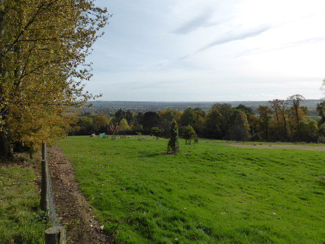
Bourton Woods is a tranquil and picturesque woodland located in the county of Gloucestershire, England. Covering an area of approximately 100 hectares, it is a popular destination for nature enthusiasts, hikers, and families looking to enjoy the great outdoors.

The woods are predominantly made up of native broadleaf trees, including oak, ash, and beech, which create a dense and diverse canopy overhead. This rich vegetation provides a habitat for a wide array of wildlife species, including deer, foxes, badgers, and a variety of bird species.

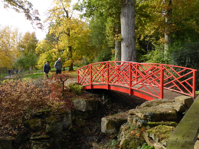
Intersected by a network of well-maintained footpaths, Bourton Woods offers visitors the opportunity to explore the forest at their own pace. The trails meander through the trees and open up to picturesque clearings, where visitors can rest and take in the beauty of their surroundings. Throughout the woods, there are also several strategically placed benches and picnic areas, providing the perfect spot to enjoy a packed lunch or simply soak up the peaceful atmosphere.

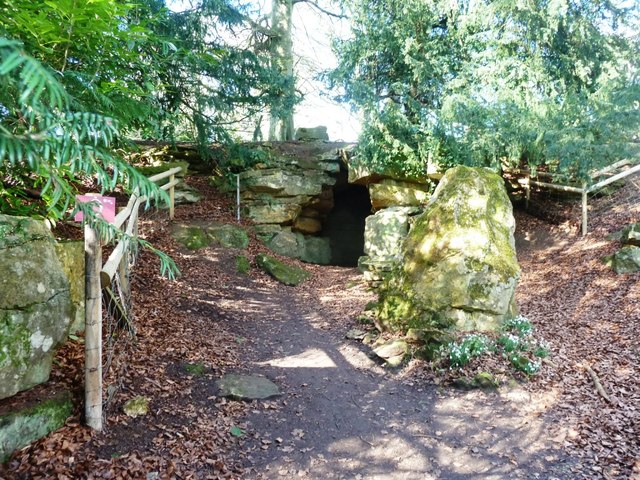
In addition to its natural beauty, Bourton Woods also holds historical significance. It was once part of a large deer park owned by the Abbey of Gloucester in the medieval period and later became a working woodland. Today, remnants of this history can still be seen, such as the old boundary walls and the remains of charcoal kilns.

Overall, Bourton Woods offers a delightful escape from the hustle and bustle of everyday life, providing visitors with a chance to reconnect with nature and experience the tranquility of a beautiful woodland setting.

If you have any feedback on the listing, please let us know in the comments section below.

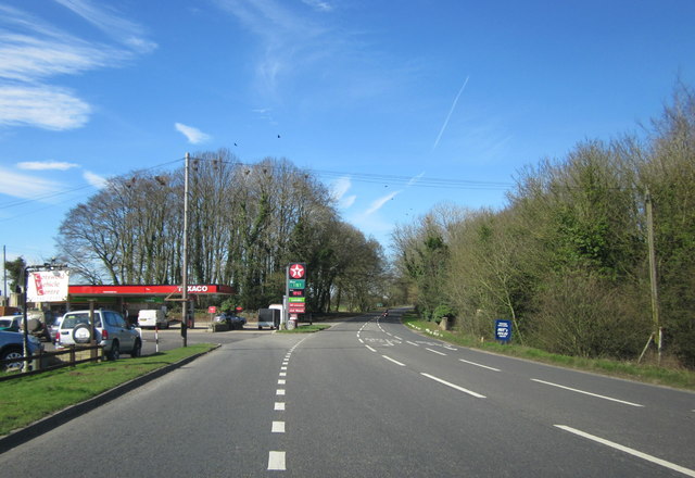
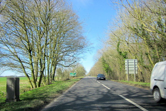
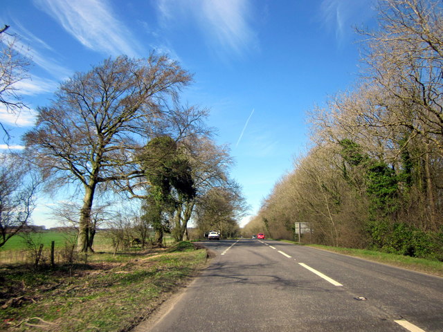
Bourton Woods Images

Images are sourced within 2km of 51.997382/-1.7662688 or Grid Reference SP1633. Thanks to Geograph Open Source API. All images are credited.

Batsford Arboretum - viewpoint Looking over the boundary fence at one of the corners of the arboretum.
Batsford Arboretum - viewpoint
Looking over the boundary fence at one of the corners of the arboretum.
Batsford Arboretum - red bridge This rather oriental looking bridge crosses the stream just above Sister's Pool.
Batsford Arboretum - red bridge
This rather oriental looking bridge crosses the stream just above Sister's Pool.
The Hermit's Cave at Batsford Arboretum Located in the western corner of the Arboretum.
The Hermit's Cave at Batsford Arboretum
Located in the western corner of the Arboretum.
Blossom on Five Mile Drive (A424)
B4479 Junction A minor road from Batsford joins the B4479 from Blockley.
B4479 Junction
A minor road from Batsford joins the B4479 from Blockley.
The reason for 'Doing Posh' The dedication plaque for the village bus shelter.
The Coronation of Queen Elizabeth II.
The reason for 'Doing Posh'
The dedication plaque for the village bus shelter. The Coronation of Queen Elizabeth II.
Blockley does posh Whilst the camera does not capture the warmth of the Cotswold stone.
This is one well kept and crafted bus shelter.
It is over 60 years old and commemorates Queen Elizabeth II Coronation.
<a href="https://www.geograph.org.uk/photo/5308627">SP1635 : The reason for 'Doing Posh'</a> has a photo of the plaque.
Blockley does posh
Whilst the camera does not capture the warmth of the Cotswold stone. This is one well kept and crafted bus shelter. It is over 60 years old and commemorates Queen Elizabeth II Coronation. SP1635 : The reason for 'Doing Posh' has a photo of the plaque.
Green in Winter A rather grand conifer in Lower Street.
Green in Winter
A rather grand conifer in Lower Street.
I have a question Are the railings to keep us out or them in?
Quite a number of tombs in this church yard have railings around them.
One would speculate that these are post WWII.
The tomb in front is a bale reflecting the wool trade of the past.
I have a question
Are the railings to keep us out or them in? Quite a number of tombs in this church yard have railings around them. One would speculate that these are post WWII. The tomb in front is a bale reflecting the wool trade of the past.
We are but mortal Not a tribute to a chapter of Hell's Angels. 
But a grim reminder from the stonemason that we are all mortal.
We are but mortal
Not a tribute to a chapter of Hell's Angels. But a grim reminder from the stonemason that we are all mortal.
Troopers Lodge Garage A44
A44 Five Mile Drive Heading Towards Broadway
A44 Five Mile Drive Heading Towards Broadway E-Type Jaguar in Layby
High Street Looking along High Street.  In the left centre of the photo is Bankside, a building of 17th Century origins remodelled in around 1800.  Grade II listed - see <span class="nowrap"><a title="www.historicengland.org.uk/listing/the-list/list-entry/1304362" rel="nofollow ugc noopener" href="http://www.historicengland.org.uk/listing/the-list/list-entry/1304362">Link</a><img style="margin-left:2px;" alt="External link" title="External link - shift click to open in new window" src="https://s1.geograph.org.uk/img/external.png" width="10" height="10"/></span>.
High Street
Looking along High Street. In the left centre of the photo is Bankside, a building of 17th Century origins remodelled in around 1800. Grade II listed - see LinkExternal link.
High Street Looking along High Street.  The house on the left of the photo is Bankside, a building of 17th Century origins remodelled in around 1800.  Grade II listed - see <span class="nowrap"><a title="www.historicengland.org.uk/listing/the-list/list-entry/1304362" rel="nofollow ugc noopener" href="http://www.historicengland.org.uk/listing/the-list/list-entry/1304362">Link</a><img style="margin-left:2px;" alt="External link" title="External link - shift click to open in new window" src="https://s1.geograph.org.uk/img/external.png" width="10" height="10"/></span>.
High Street
Looking along High Street. The house on the left of the photo is Bankside, a building of 17th Century origins remodelled in around 1800. Grade II listed - see LinkExternal link.
High Street Looking along High Street.  The house in the left centre of the photo is Bankside, a building of 17th Century origins remodelled in around 1800.  Grade II listed - see <span class="nowrap"><a title="www.historicengland.org.uk/listing/the-list/list-entry/1304362" rel="nofollow ugc noopener" href="http://www.historicengland.org.uk/listing/the-list/list-entry/1304362">Link</a><img style="margin-left:2px;" alt="External link" title="External link - shift click to open in new window" src="https://s1.geograph.org.uk/img/external.png" width="10" height="10"/></span>.
High Street
Looking along High Street. The house in the left centre of the photo is Bankside, a building of 17th Century origins remodelled in around 1800. Grade II listed - see LinkExternal link.
Hill View Early 19th Century cottage on High Street.  Grade II listed - see <span class="nowrap"><a title="www.historicengland.org.uk/listing/the-list/list-entry/1153336" rel="nofollow ugc noopener" href="http://www.historicengland.org.uk/listing/the-list/list-entry/1153336">Link</a><img style="margin-left:2px;" alt="External link" title="External link - shift click to open in new window" src="https://s1.geograph.org.uk/img/external.png" width="10" height="10"/></span>.
Hill View
Early 19th Century cottage on High Street. Grade II listed - see LinkExternal link.
Show me another place!

Bourton Woods is located at Grid Ref: SP1633 (Lat: 51.997382, Lng: -1.7662688)

Administrative County: Gloucestershire

District: Cotswold

Police Authority: Gloucestershire

What 3 Words

///funny.famines.bypassed. Near Blockley, Gloucestershire

Related Wikis

Church of St Lawrence, Bourton-on-the-Hill

The Anglican Church of St Lawrence at Bourton-on-the-Hill in the Cotswold District of Gloucestershire, England was built in the 12th century. It is a grade...

Blockley

Blockley is a village, civil parish and ecclesiastical parish in the Cotswold district of Gloucestershire, England, about 3 miles (5 km) northwest of Moreton...
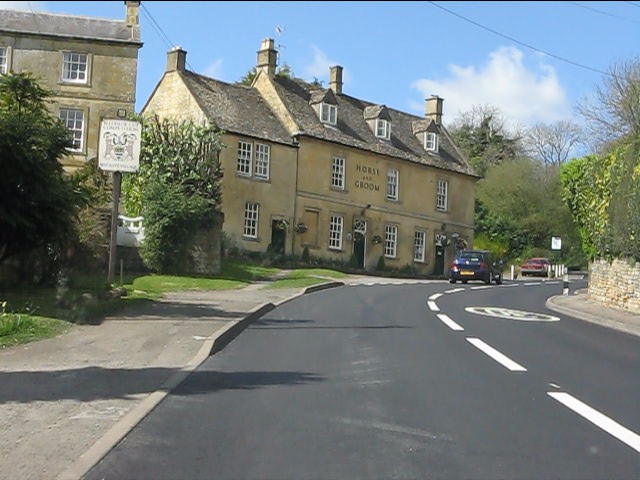
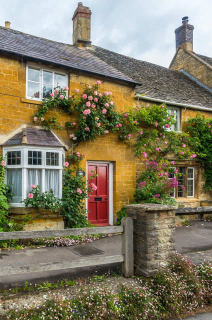
Bourton-on-the-Hill

Bourton-on-the-Hill is a village and civil parish in the Cotswold district of Gloucestershire, England, and about 2 miles (3 km) west of Moreton-in-Marsh...
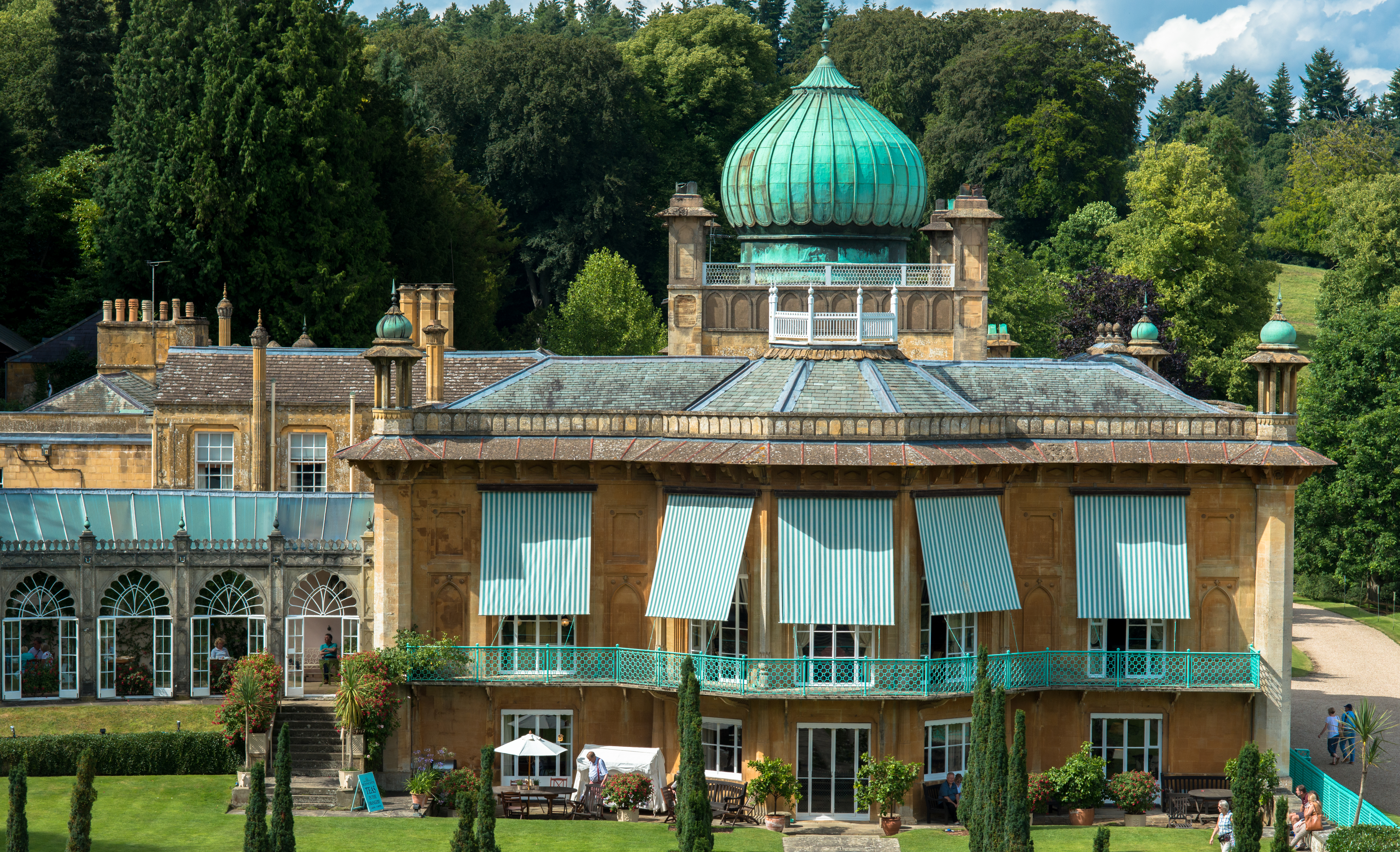
Sezincote House

Sezincote House (pronounced seas in coat) is the centre of a country estate in the civil parish of Sezincote, in the county of Gloucestershire, England...

Sezincote (settlement)

Sezincote or Seasoncote is a settlement and civil parish comprising Sezincote House and its estate, situated about 3 miles from Stow-on-the-Wold in the...

Batsford

Batsford is a village and civil parish in the Cotswold district of Gloucestershire, England. The village is about 1½ miles north-west of Moreton-in...
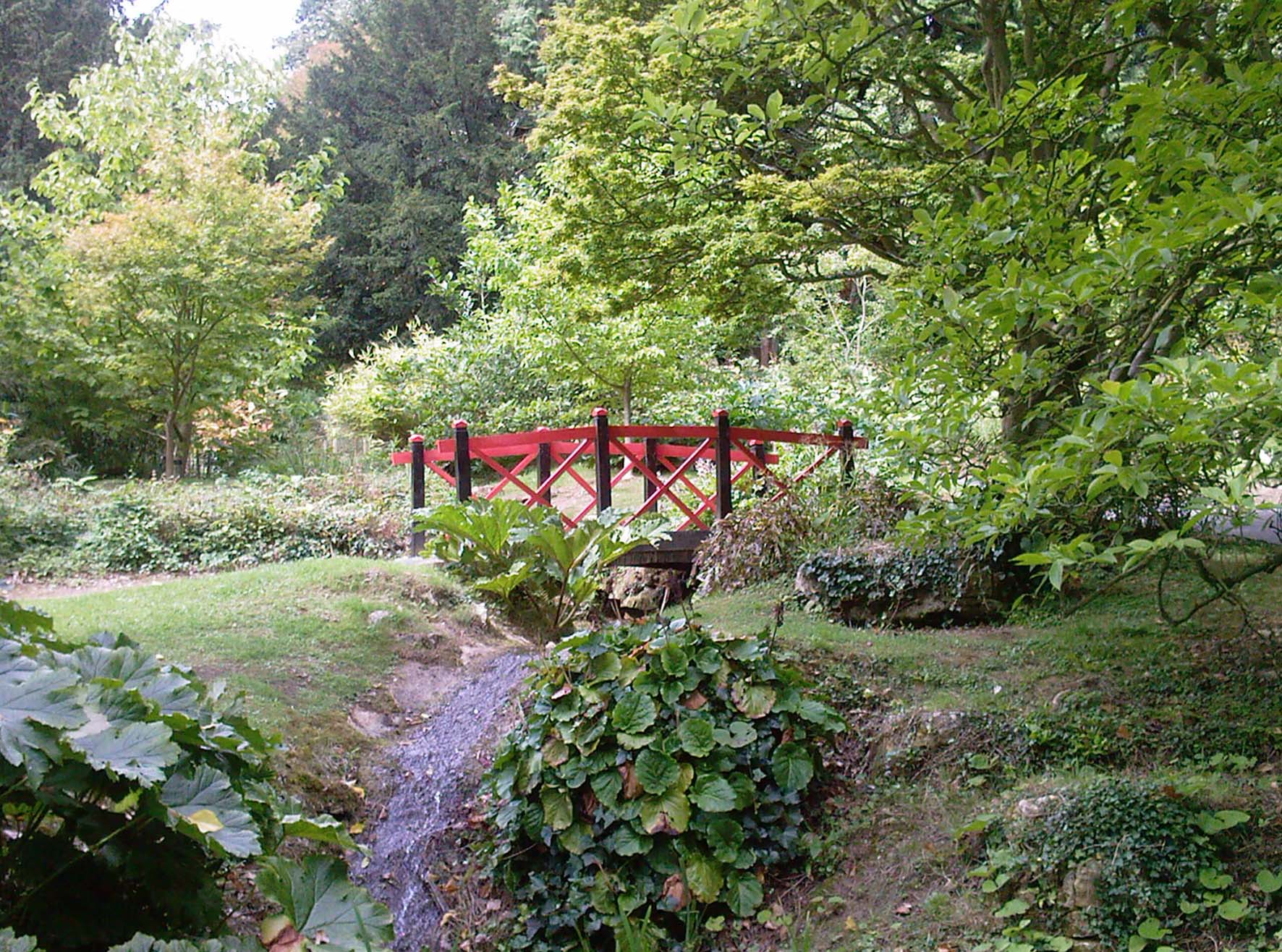
Batsford Arboretum

Batsford Arboretum is a 55-acre (220,000 m2) arboretum and botanical garden near Batsford in Gloucestershire, England, about 1½ miles north-west of Moreton...

Bourton Down

Bourton Down (grid reference SP142313) is an 11.17-hectare (27.6-acre) biological Site of Special Scientific Interest near Bourton-on-the-Hill in Gloucestershire...

Nearby Amenities

Located within 500m of 51.997382,-1.7662688
The data included in this document is from www.openstreetmap.org. The data is made available under ODbL.

Have you been to Bourton Woods?

Leave your review of Bourton Woods below (or comments, questions and feedback).