Altar Wood
Wood, Forest in Yorkshire
England
Altar Wood
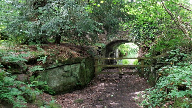
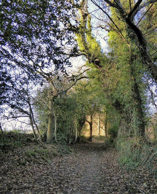
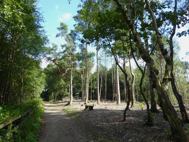
Altar Wood is a picturesque forest located in Yorkshire, England. Spread over a vast area, it is an enchanting destination for nature enthusiasts and hikers alike. The woodland is known for its ancient trees, rich biodiversity, and tranquil atmosphere.
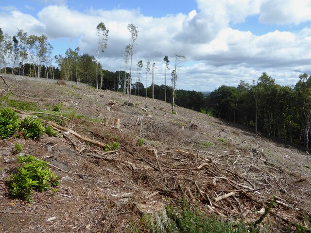
The forest is predominantly composed of deciduous trees, including oak, beech, and birch, which create a stunning canopy during the summer months. The vibrant colors of the autumn foliage attract visitors from far and wide, offering a mesmerizing spectacle. Altar Wood is also home to a diverse range of wildlife, including deer, foxes, badgers, and a variety of bird species, making it an ideal spot for wildlife enthusiasts and birdwatchers.
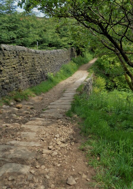
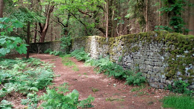
The forest offers numerous walking trails and paths, allowing visitors to explore its beauty at their own pace. These trails cater to all levels of difficulty, from easy strolls to more challenging hikes, making Altar Wood an accessible destination for people of all ages and fitness levels. Along the way, hikers are treated to breathtaking views of rolling hills, meandering streams, and hidden waterfalls.
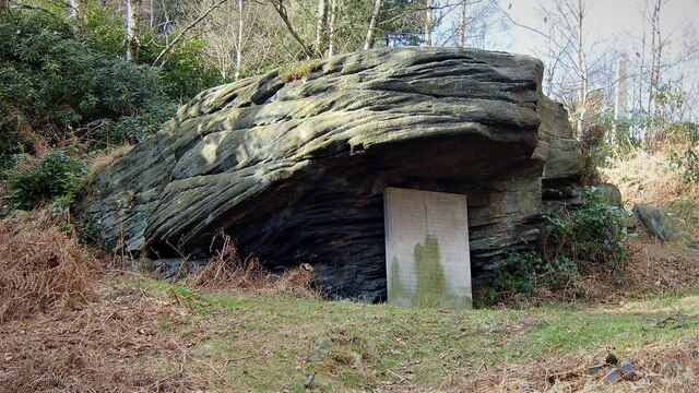
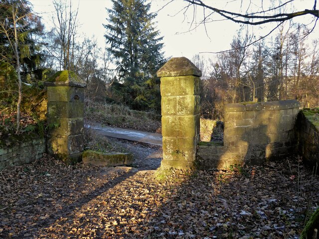
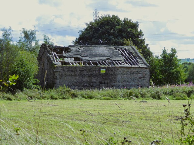
Altar Wood is also steeped in history and folklore, with ancient ruins and stone circles dotted throughout the forest. These remnants serve as a reminder of the area's past and add a sense of mystique to the surroundings.
Visitors to Altar Wood can enjoy a peaceful and rejuvenating experience, whether it be through a leisurely walk, a picnic amidst nature, or simply soaking in the tranquility of this beautiful forest in Yorkshire.
If you have any feedback on the listing, please let us know in the comments section below.
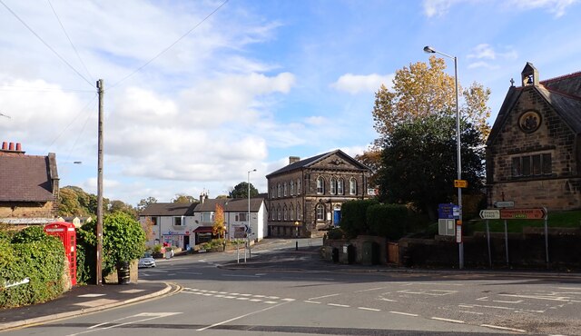
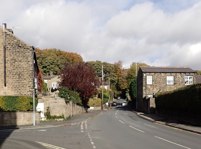
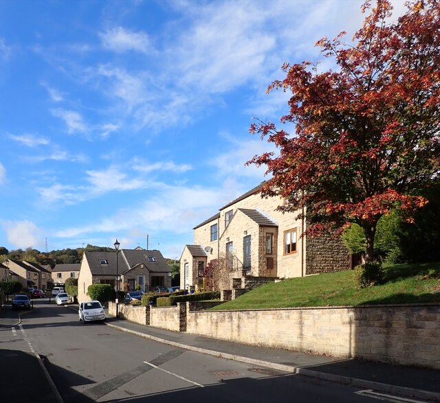
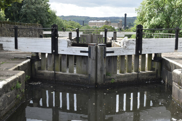
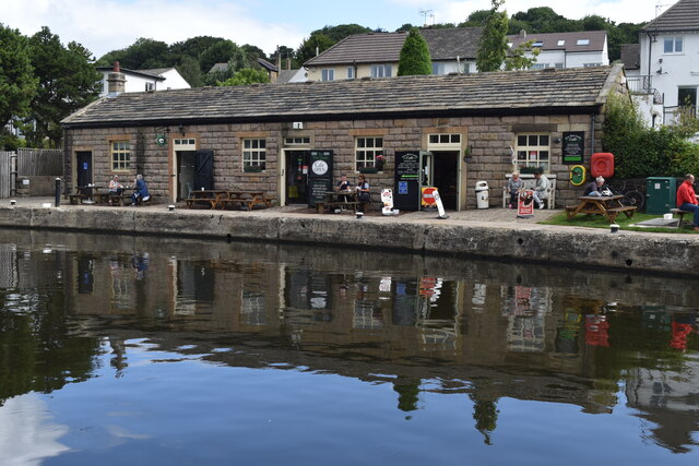
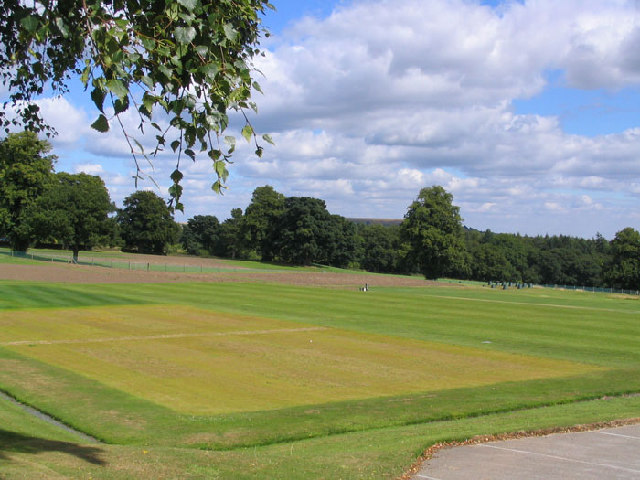
Altar Wood Images
Images are sourced within 2km of 53.855642/-1.859567 or Grid Reference SE0939. Thanks to Geograph Open Source API. All images are credited.
Altar Wood is located at Grid Ref: SE0939 (Lat: 53.855642, Lng: -1.859567)
Division: West Riding
Unitary Authority: Bradford
Police Authority: West Yorkshire
What 3 Words
///saga.costumed.masterpiece. Near Bingley, West Yorkshire
Nearby Locations
Related Wikis
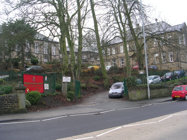
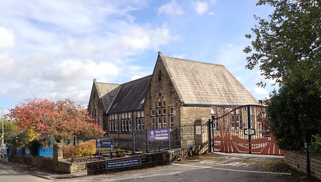
Bingley Grammar School
Bingley Grammar School (BGS) is a Voluntary aided school for students from the ages of 11–18 and is located on the outskirts of Bingley, West Yorkshire...
STRI Group
STRI, formerly the Sports Turf Research Institute, is a consultancy for the development of sports surfaces, based in St Ives, Bingley, West Yorkshire,...

Bingley St Ives
Bingley St. Ives, or St. Ives Estate is a 550-acre (2.2 km2) country park and former estate between Bingley and Harden in West Yorkshire, England now owned...

Crossflatts railway station
Crossflatts railway station serves the Crossflatts area of Bingley, north of Bradford in West Yorkshire, England. The station is on the Airedale Line...

Crossflatts
Crossflatts is a ribbon development in Airedale along the old route of the A650 road between Bingley and Keighley, in the Metropolitan Borough of Bradford...

Old White Horse Inn
The Old White Horse Inn in Bingley, West Yorkshire, England, is one of the oldest buildings still in use in the town. It was originally constructed as...

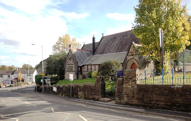
Church of All Saints, Bingley
Church of All Saints is the Anglican parish church in the town of Bingley, West Yorkshire, England. It is one of two Anglican churches in the town, the...

Ireland Bridge
Bingley's Ireland Bridge is a Grade II* listed structure and a historically significant crossing point over the River Aire in West Yorkshire, England...
Nearby Amenities
Located within 500m of 53.855642,-1.859567Have you been to Altar Wood?
Leave your review of Altar Wood below (or comments, questions and feedback).