Cross Gates
Settlement in Yorkshire
England
Cross Gates
Cross Gates is a suburban area located in the east of Leeds, West Yorkshire, England. It is situated approximately 5 miles east of Leeds city center and falls within the LS15 postal code district. Known for its close-knit community and convenient amenities, Cross Gates is a popular residential area.
With a population of around 20,000 people, Cross Gates offers a mix of housing types, from Victorian terraced houses to modern apartments. The area benefits from excellent transport links, including a railway station that provides regular services to Leeds, York, and other surrounding areas. Additionally, several bus routes pass through Cross Gates, connecting it to the wider region.
The Cross Gates Shopping Center is a major retail hub in the area, housing a variety of shops, supermarkets, and local businesses, providing residents with a range of retail options. There are also numerous restaurants, cafes, and pubs, offering a diverse culinary scene.
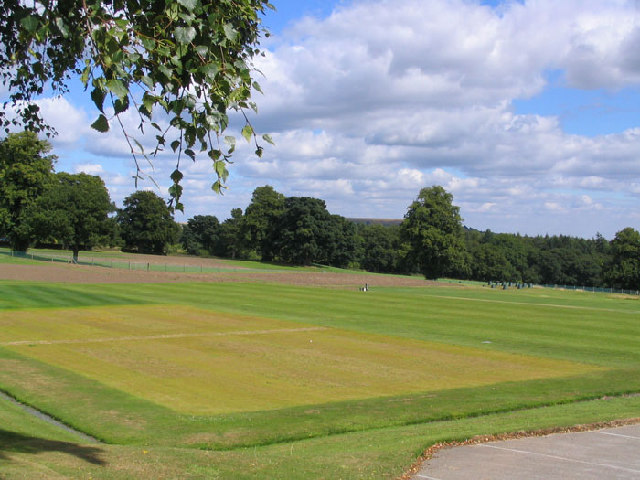
For outdoor enthusiasts, Cross Gates boasts several parks and green spaces, including Manston Park and Temple Newsam Park, which provide opportunities for leisure activities such as walking, jogging, and picnicking.
Education is well-catered for in Cross Gates, with several primary schools and secondary schools serving the local community. The area also benefits from a public library and a community center, offering a range of activities and services.
Overall, Cross Gates is a vibrant and friendly community, offering residents a convenient location, good transport links, a variety of amenities, and a range of housing options.
If you have any feedback on the listing, please let us know in the comments section below.
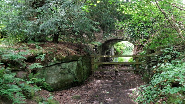
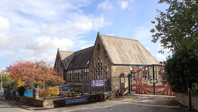
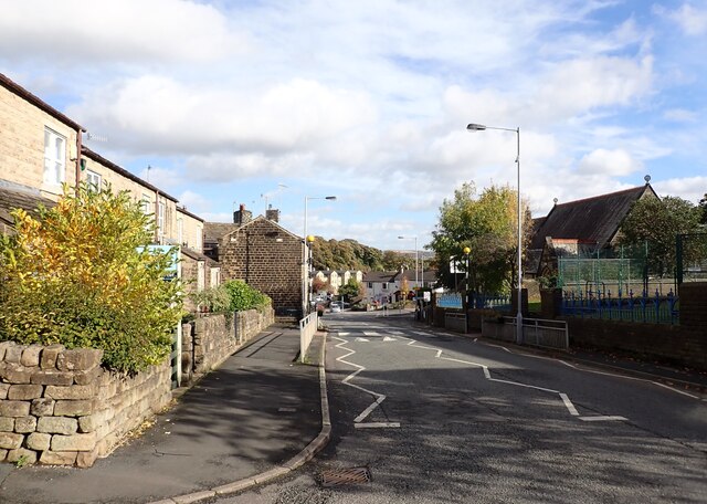
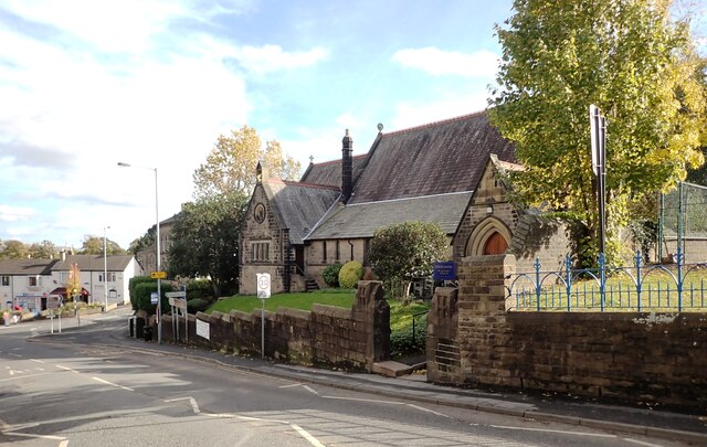
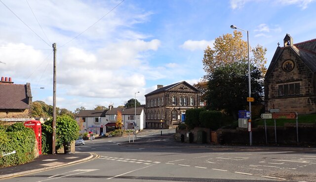
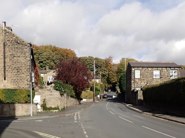
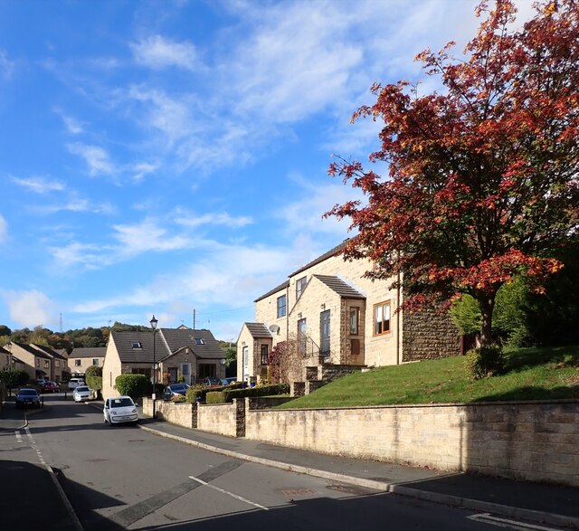
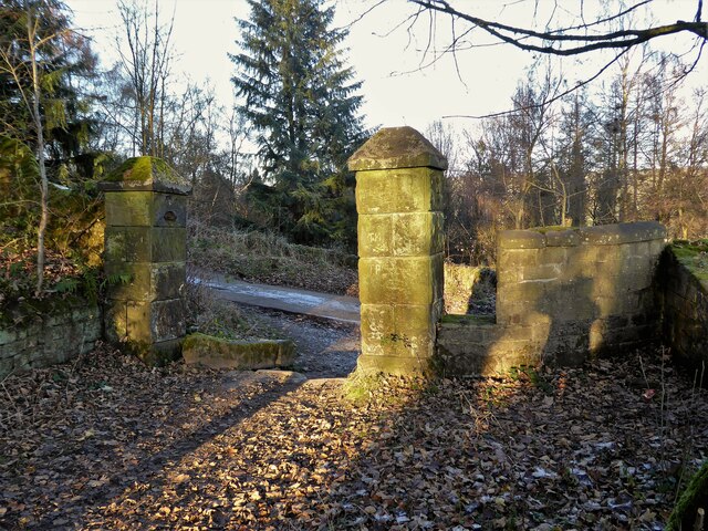
Cross Gates Images
Images are sourced within 2km of 53.847163/-1.8646871 or Grid Reference SE0939. Thanks to Geograph Open Source API. All images are credited.


Cross Gates is located at Grid Ref: SE0939 (Lat: 53.847163, Lng: -1.8646871)
Division: West Riding
Unitary Authority: Bradford
Police Authority: West Yorkshire
What 3 Words
///bounty.foresight.novelist. Near Bingley, West Yorkshire
Nearby Locations
Related Wikis

Bingley St Ives
Bingley St. Ives, or St. Ives Estate is a 550-acre (2.2 km2) country park and former estate between Bingley and Harden in West Yorkshire, England now owned...
STRI Group
STRI, formerly the Sports Turf Research Institute, is a consultancy for the development of sports surfaces, based in St Ives, Bingley, West Yorkshire,...
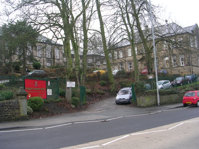
Bingley Grammar School
Bingley Grammar School (BGS) is a Voluntary aided school for students from the ages of 11–18 and is located on the outskirts of Bingley, West Yorkshire...

Ireland Bridge
Bingley's Ireland Bridge is a Grade II* listed structure and a historically significant crossing point over the River Aire in West Yorkshire, England...

Old White Horse Inn
The Old White Horse Inn in Bingley, West Yorkshire, England, is one of the oldest buildings still in use in the town. It was originally constructed as...

Beckfoot Bridge
Beckfoot Bridge (also known as the Packhorse Bridge) was historically a significant crossing point over Harden Beck in Bingley, West Yorkshire, England...

Myrtle Grove, Bingley
Myrtle Grove, also known since 1926 as Bingley Town Hall, is a municipal building in Myrtle Park, Bingley, West Yorkshire, England. The building, which...

Church of All Saints, Bingley
Church of All Saints is the Anglican parish church in the town of Bingley, West Yorkshire, England. It is one of two Anglican churches in the town, the...
Nearby Amenities
Located within 500m of 53.847163,-1.8646871Have you been to Cross Gates?
Leave your review of Cross Gates below (or comments, questions and feedback).