Hollin Plantation
Wood, Forest in Yorkshire
England
Hollin Plantation
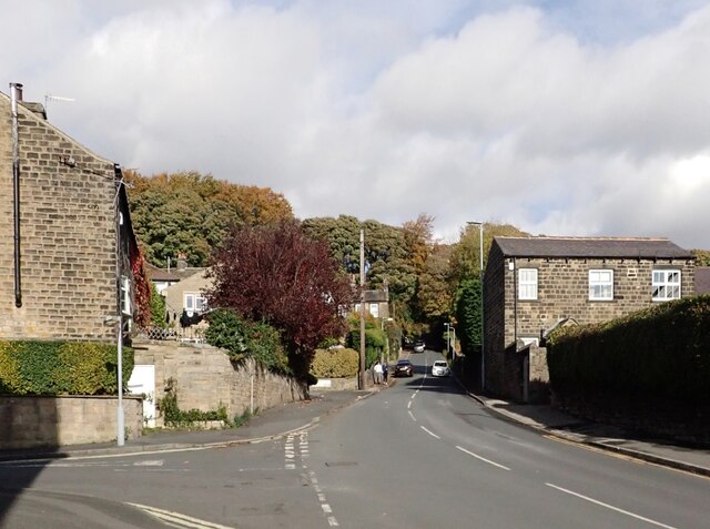
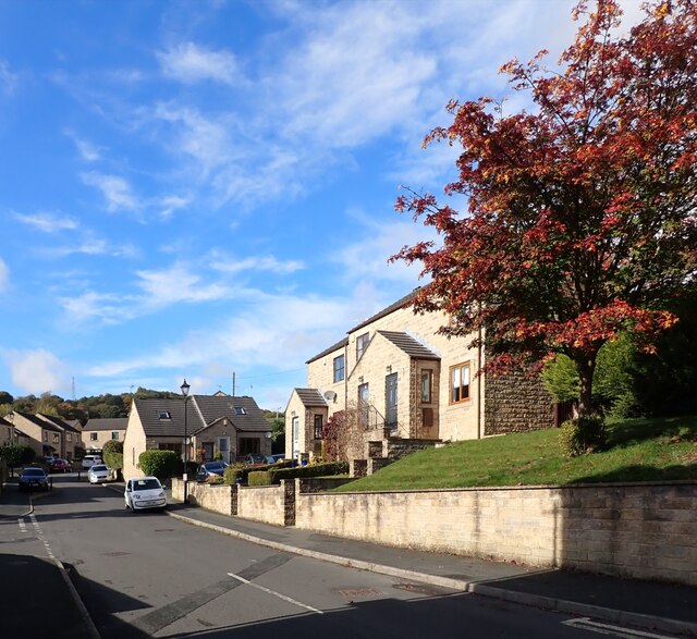
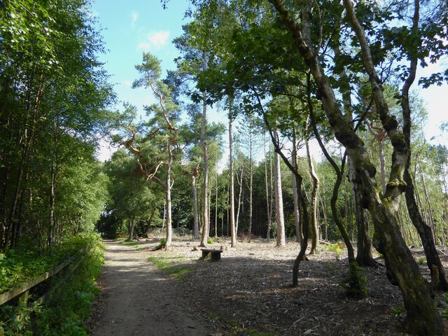
Hollin Plantation, located in Yorkshire, is a picturesque woodland area renowned for its natural beauty and rich biodiversity. Spread across a sprawling expanse, the plantation is characterized by dense forests, lush greenery, and a tranquil ambiance that attracts visitors and nature enthusiasts alike.
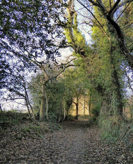
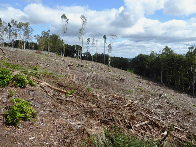
The woodland is predominantly composed of various species of trees, including oak, birch, beech, and conifers, which create a harmonious blend of colors throughout the year. The diverse range of flora and fauna found within the plantation serves as a haven for many rare and endangered species. It is not uncommon to spot deer, foxes, badgers, and numerous bird species while exploring the area.
Hollin Plantation offers an extensive network of well-maintained walking trails, allowing visitors to immerse themselves in the natural splendor of the woodland. These trails cater to both casual strollers and avid hikers, with options for short, leisurely walks or longer, more challenging routes. Along the way, visitors can enjoy breathtaking views, picturesque streams, and the peaceful ambiance that the woodland provides.
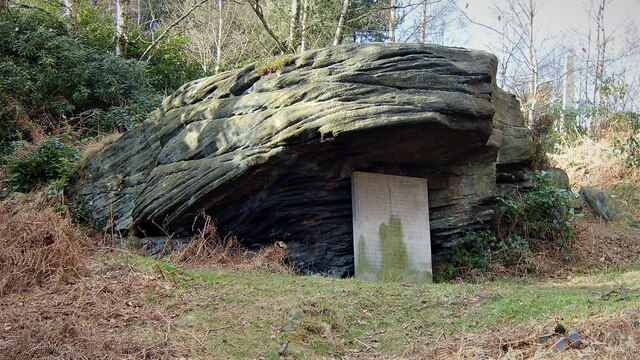
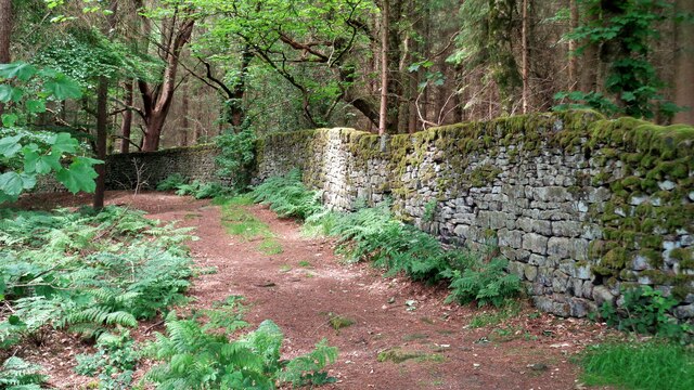
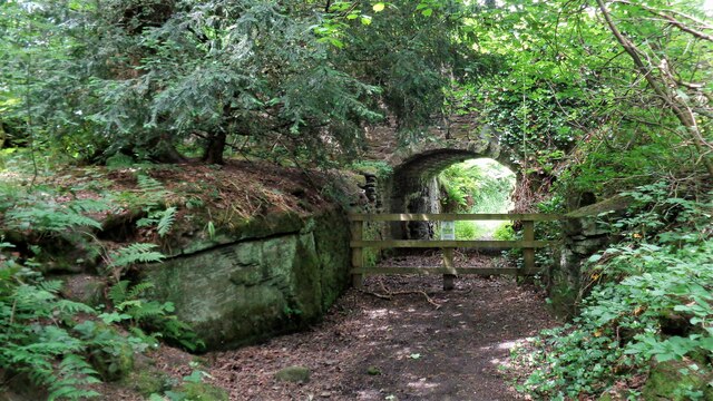
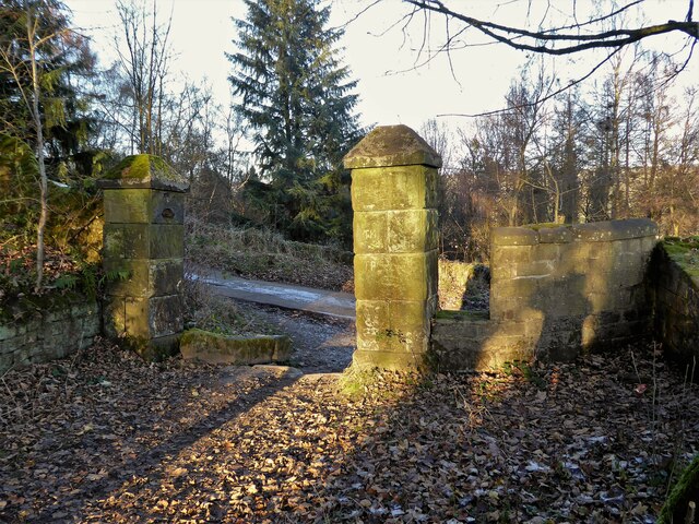
Beyond its natural beauty, Hollin Plantation also holds historical significance. The woodland was originally part of a larger estate that dates back several centuries, and remnants of its past can still be seen through the presence of old stone walls and ruins.
Overall, Hollin Plantation in Yorkshire offers a serene escape from the hustle and bustle of everyday life. It provides a unique opportunity to connect with nature, appreciate its wonders, and indulge in the tranquility that only a woodland setting can offer.
If you have any feedback on the listing, please let us know in the comments section below.
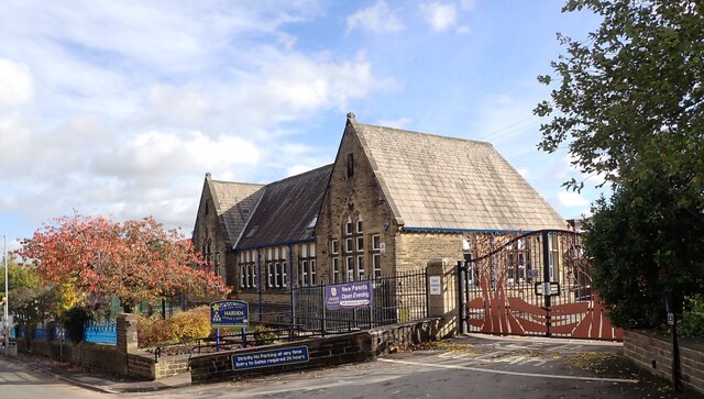
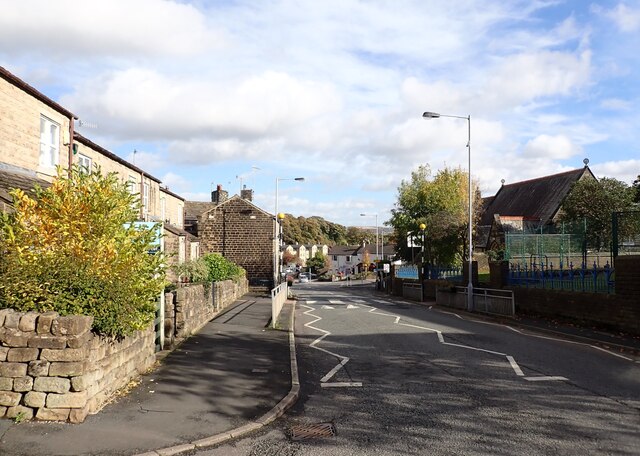
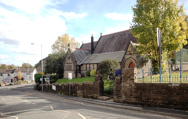
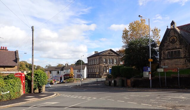
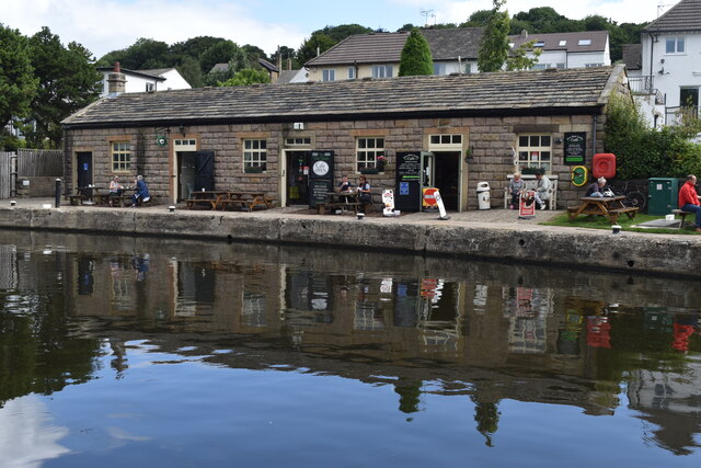
Hollin Plantation Images
Images are sourced within 2km of 53.854009/-1.8538869 or Grid Reference SE0939. Thanks to Geograph Open Source API. All images are credited.

Hollin Plantation is located at Grid Ref: SE0939 (Lat: 53.854009, Lng: -1.8538869)
Division: West Riding
Unitary Authority: Bradford
Police Authority: West Yorkshire
What 3 Words
///clattered.spins.alternate. Near Bingley, West Yorkshire
Nearby Locations
Related Wikis
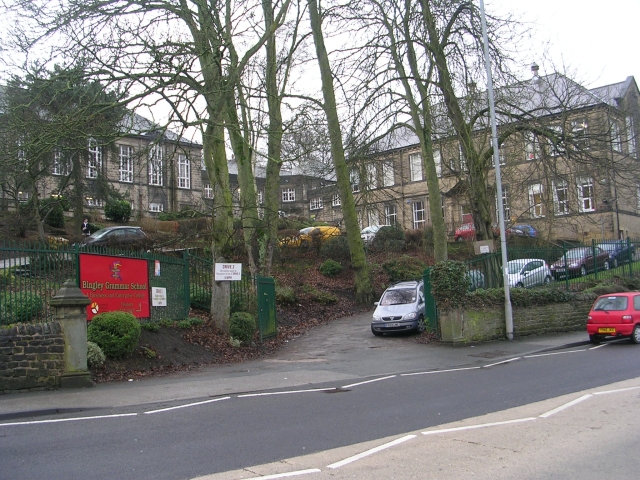
Bingley Grammar School
Bingley Grammar School (BGS) is a Voluntary aided school for students from the ages of 11–18 and is located on the outskirts of Bingley, West Yorkshire...
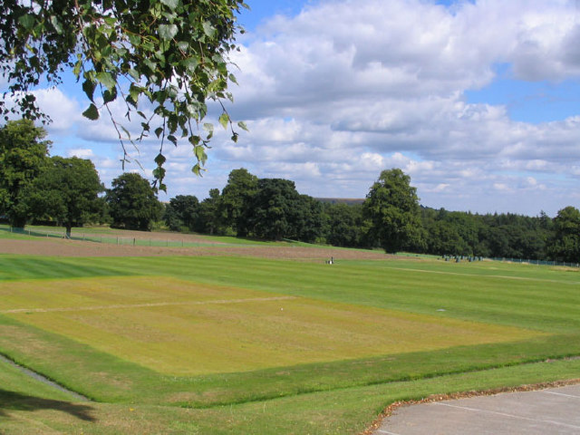
STRI Group
STRI, formerly the Sports Turf Research Institute, is a consultancy for the development of sports surfaces, based in St Ives, Bingley, West Yorkshire,...

Crossflatts railway station
Crossflatts railway station serves the Crossflatts area of Bingley, north of Bradford in West Yorkshire, England. The station is on the Airedale Line...

Old White Horse Inn
The Old White Horse Inn in Bingley, West Yorkshire, England, is one of the oldest buildings still in use in the town. It was originally constructed as...

Church of All Saints, Bingley
Church of All Saints is the Anglican parish church in the town of Bingley, West Yorkshire, England. It is one of two Anglican churches in the town, the...

Bingley St Ives
Bingley St. Ives, or St. Ives Estate is a 550-acre (2.2 km2) country park and former estate between Bingley and Harden in West Yorkshire, England now owned...

Ireland Bridge
Bingley's Ireland Bridge is a Grade II* listed structure and a historically significant crossing point over the River Aire in West Yorkshire, England...

Crossflatts
Crossflatts is a ribbon development in Airedale along the old route of the A650 road between Bingley and Keighley, in the Metropolitan Borough of Bradford...
Nearby Amenities
Located within 500m of 53.854009,-1.8538869Have you been to Hollin Plantation?
Leave your review of Hollin Plantation below (or comments, questions and feedback).