Ewe Hills
Wood, Forest in Yorkshire
England
Ewe Hills
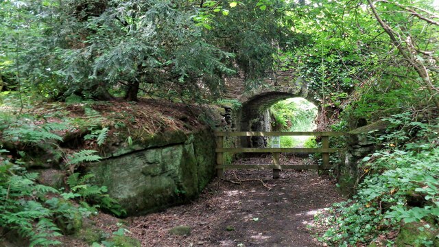
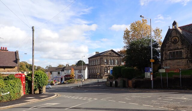
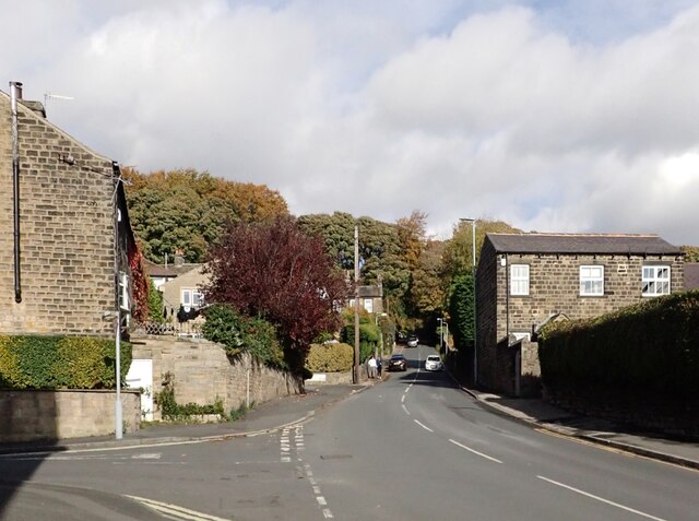
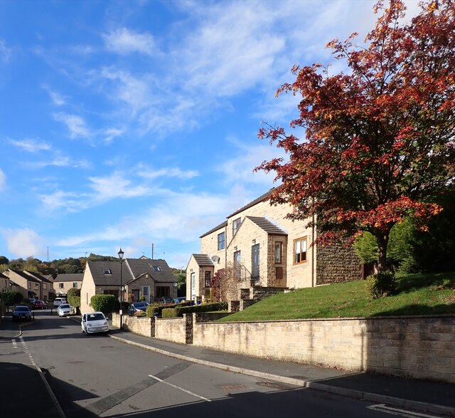
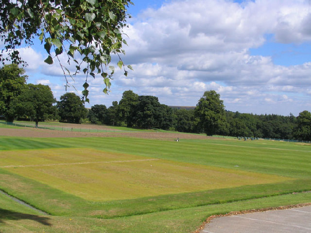
Ewe Hills is a picturesque area located in the Yorkshire Dales, England. Situated in the county of Yorkshire, Ewe Hills is recognized for its beautiful woodlands and dense forests, making it a popular destination for nature enthusiasts.
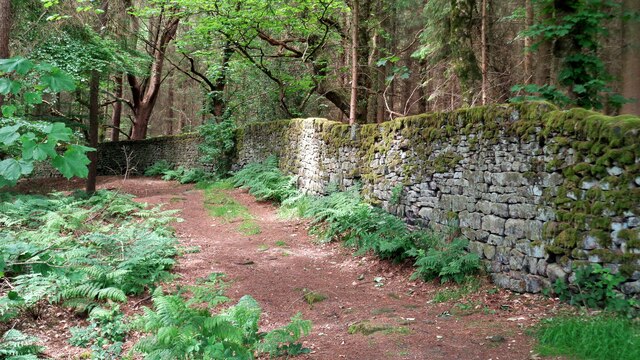
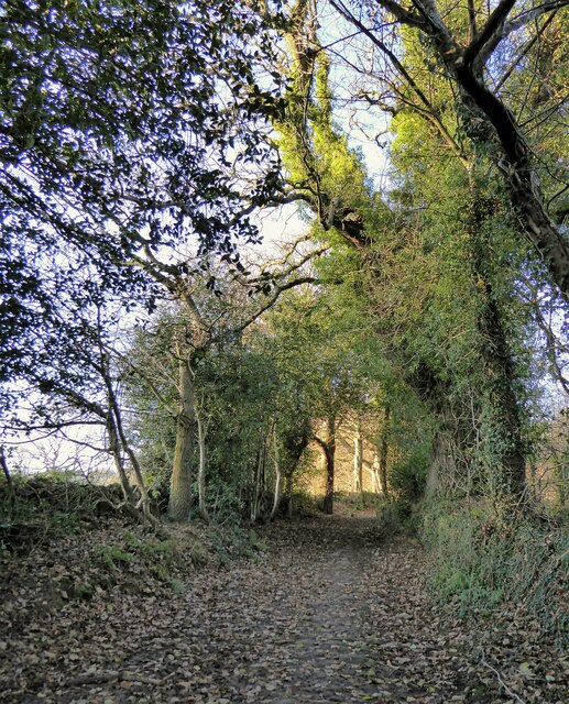
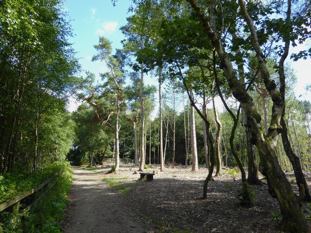
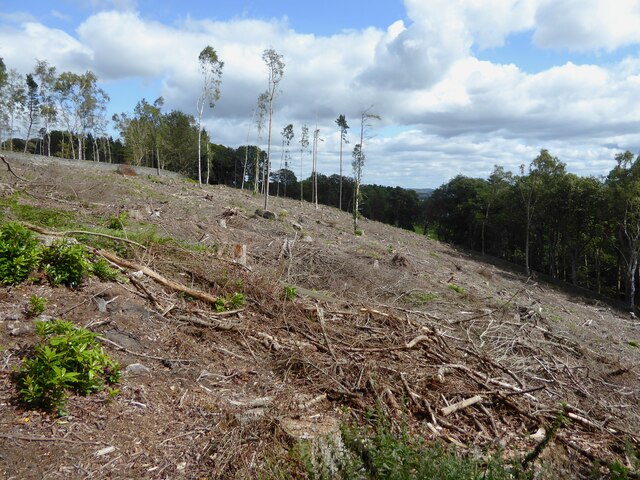
The region is known for its rolling hills, which are adorned with lush greenery and scattered with ancient trees. The woodlands in Ewe Hills are home to a diverse range of flora and fauna, including oak, beech, and ash trees, along with various species of birds, mammals, and insects.
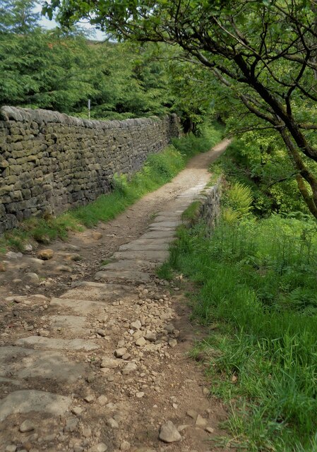
Ewe Hills offers a tranquil and peaceful setting, attracting visitors who seek solace and serenity amidst nature. The area is ideal for hiking and walking, with numerous well-maintained trails that wind through the forested landscape. These trails offer breathtaking views of the surrounding countryside and provide opportunities for birdwatching and wildlife spotting.
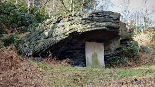
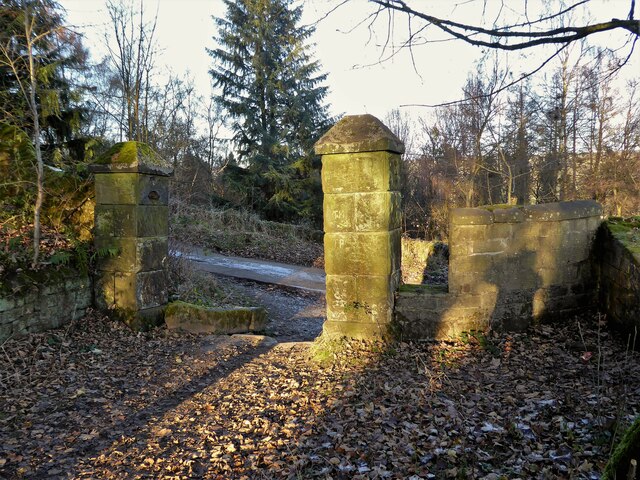
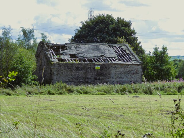
In addition to its natural beauty, Ewe Hills also boasts a rich history. The area is dotted with remnants of ancient settlements, such as burial mounds and stone circles, showcasing its importance in the past. These historical sites add an extra layer of intrigue to the already captivating landscape.
Overall, Ewe Hills in Yorkshire is a haven for nature lovers and history enthusiasts alike. Its woodlands and forests offer a peaceful escape from the bustling city life, allowing visitors to immerse themselves in the beauty and tranquility of the countryside.
If you have any feedback on the listing, please let us know in the comments section below.
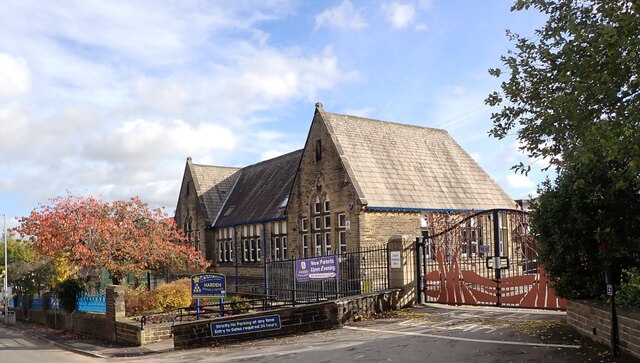
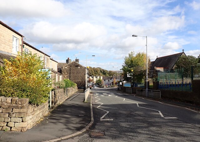
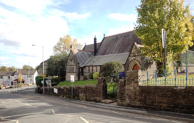
Ewe Hills Images
Images are sourced within 2km of 53.852259/-1.8565684 or Grid Reference SE0939. Thanks to Geograph Open Source API. All images are credited.


Ewe Hills is located at Grid Ref: SE0939 (Lat: 53.852259, Lng: -1.8565684)
Division: West Riding
Unitary Authority: Bradford
Police Authority: West Yorkshire
What 3 Words
///long.images.headings. Near Bingley, West Yorkshire
Related Wikis
STRI Group
STRI, formerly the Sports Turf Research Institute, is a consultancy for the development of sports surfaces, based in St Ives, Bingley, West Yorkshire,...

Bingley St Ives
Bingley St. Ives, or St. Ives Estate is a 550-acre (2.2 km2) country park and former estate between Bingley and Harden in West Yorkshire, England now owned...
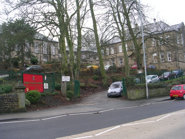
Bingley Grammar School
Bingley Grammar School (BGS) is a Voluntary aided school for students from the ages of 11–18 and is located on the outskirts of Bingley, West Yorkshire...

Old White Horse Inn
The Old White Horse Inn in Bingley, West Yorkshire, England, is one of the oldest buildings still in use in the town. It was originally constructed as...
Nearby Amenities
Located within 500m of 53.852259,-1.8565684Have you been to Ewe Hills?
Leave your review of Ewe Hills below (or comments, questions and feedback).